

Kennewick, Washington
Three rivers, three cities, and the most irrigated ground in the state.
The Tri Cities sit where the Yakima and the Snake meet the Columbia, in the middle of the Columbia Basin Project's irrigated farmland, with vineyards on Red Mountain, the Hanford site to the north and shrub steppe that burns most summers. Farm planning, terrain for a fast growing region and fire on the steppe are the flights here.
The ground
Kennewick and Benton County and Franklin County
Kennewick and Richland lie on the Columbia's south bank with Pasco across the river, where the Snake comes in from the east and the Yakima from the west. Around them the basin is circle irrigated potatoes, corn, onions and orchards, with Red Mountain's vineyards above Benton City and the Horse Heaven Hills rising to the south. North of Richland the Hanford reach is the last free flowing stretch of the Columbia, with the national monument and the site beyond it. The shrub steppe between the fields burns fast and often.
Who buys mapping here
- The cities of Kennewick, Richland, Pasco and West Richland: Public Works, Parks, Planning, the GIS groups
- Benton County and Franklin County: Emergency Management, Public Works, Planning
- Benton PUD, Franklin PUD and Benton Rural Electric Association
- Benton Conservation District and Franklin Conservation District; the Kennewick, Columbia and South Columbia Basin irrigation districts
- Benton County Fire Districts 1 and 4, Pasco Fire, Richland Fire and the Hanford fire department
- The Hanford site's contractors and the Pacific Northwest National Laboratory grounds; the Hanford Reach National Monument
- Washington State University Tri Cities and Columbia Basin College
- Vineyards on Red Mountain and the Horse Heaven Hills, orchards, and the row crop operations of the basin
Getting there
From Medford
About seven and a half hours from Medford by road, through Bend and the Columbia Plateau, or a flight to Pasco. The Tri Cities complete an eastern Washington trip with Yakima.
The public lidar
What exists, and what it misses
The basin has state portal and federal lidar over the rivers and the cities, flown for flood and infrastructure work; the farmland and the steppe are thinner. A field's drainage, a vineyard's slope and aspect, a new subdivision's ground or a range fire's footprint each want a current flight at their own scale.
What we would fly
The lanes that fit Kennewick
Nearest work
The Tri Cities are new territory for the aircraft. The record that applies: a farm planned on drone LiDAR terrain, a campus mapped for engineers, and a fast moving fire flown beside a freeway.
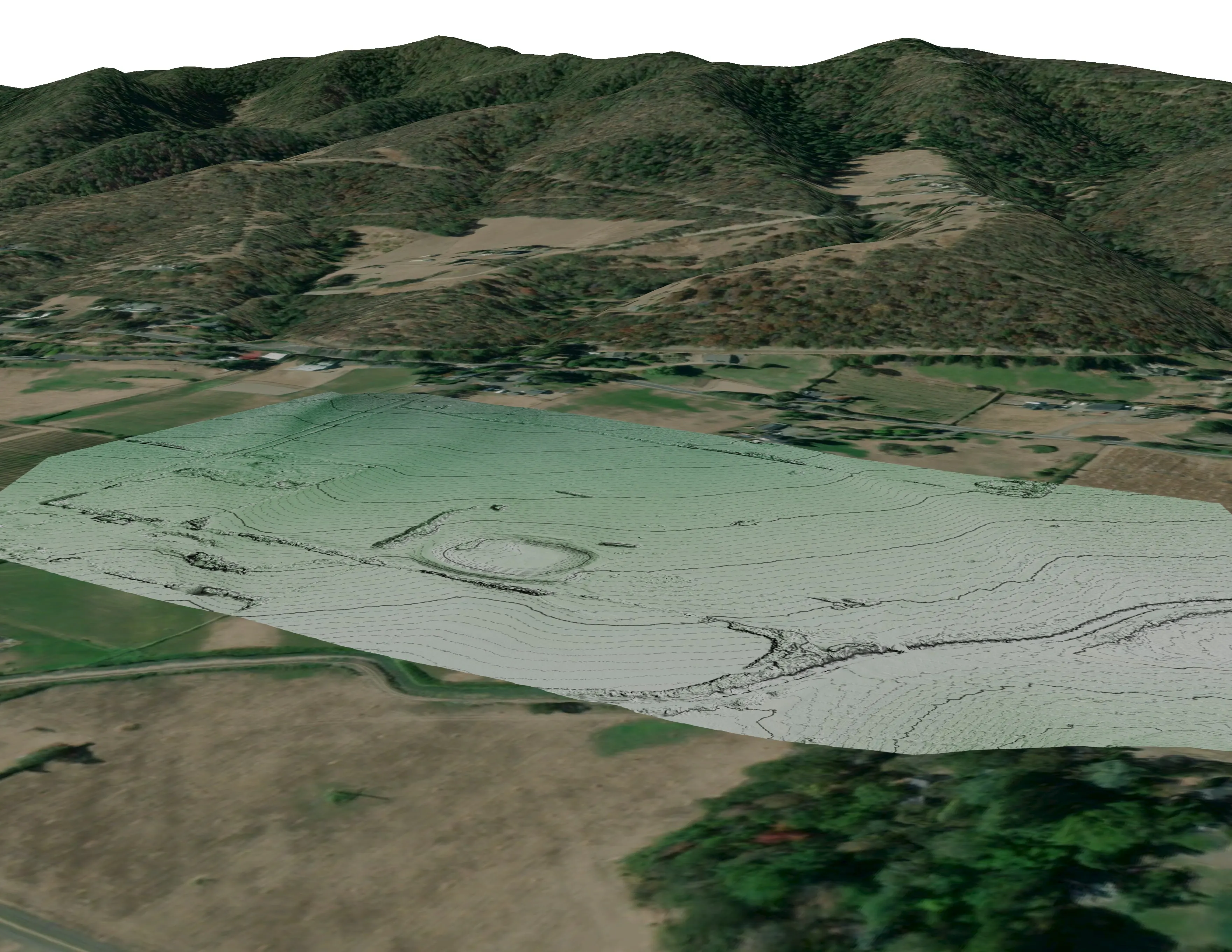
A farm plan on real ground
Plant Oregon with Oregon Urban Rural and Community Forestry, a tree nursery in development
Terrain, ponds, tree mounds, and a site plan drawn on a current ortho of the whole farm.
Read the case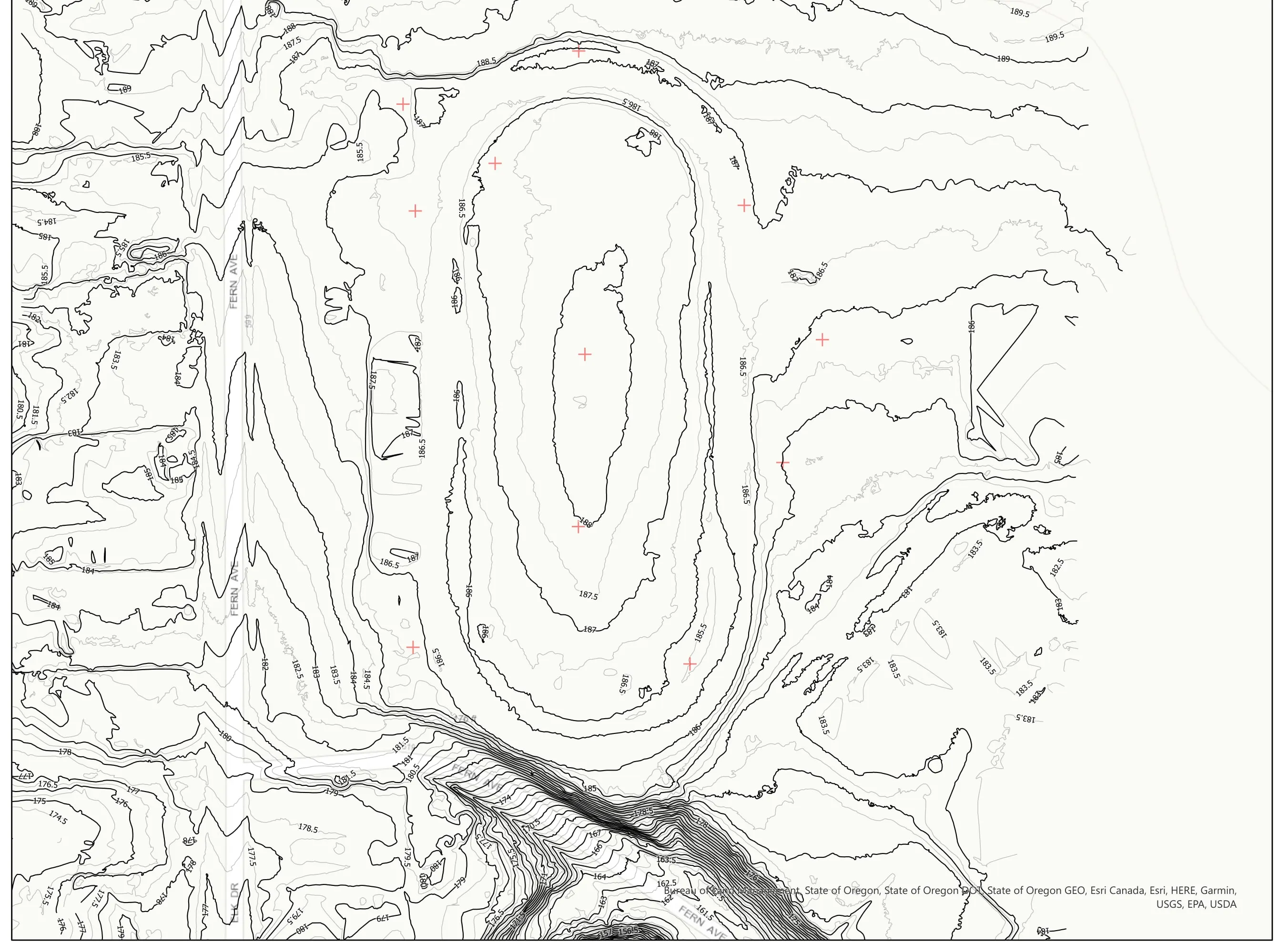
A school site, ready for the engineers
Pacific 3D Reality Capture, for the Brookings Harbor High School campus
Drone LiDAR terrain and contours over a 37 acre school campus, delivered as plan sheets and CAD ready data for the design team.
Read the case
Interstate 5 at milepost 57, initial attack beside the freeway
Oregon Department of Forestry
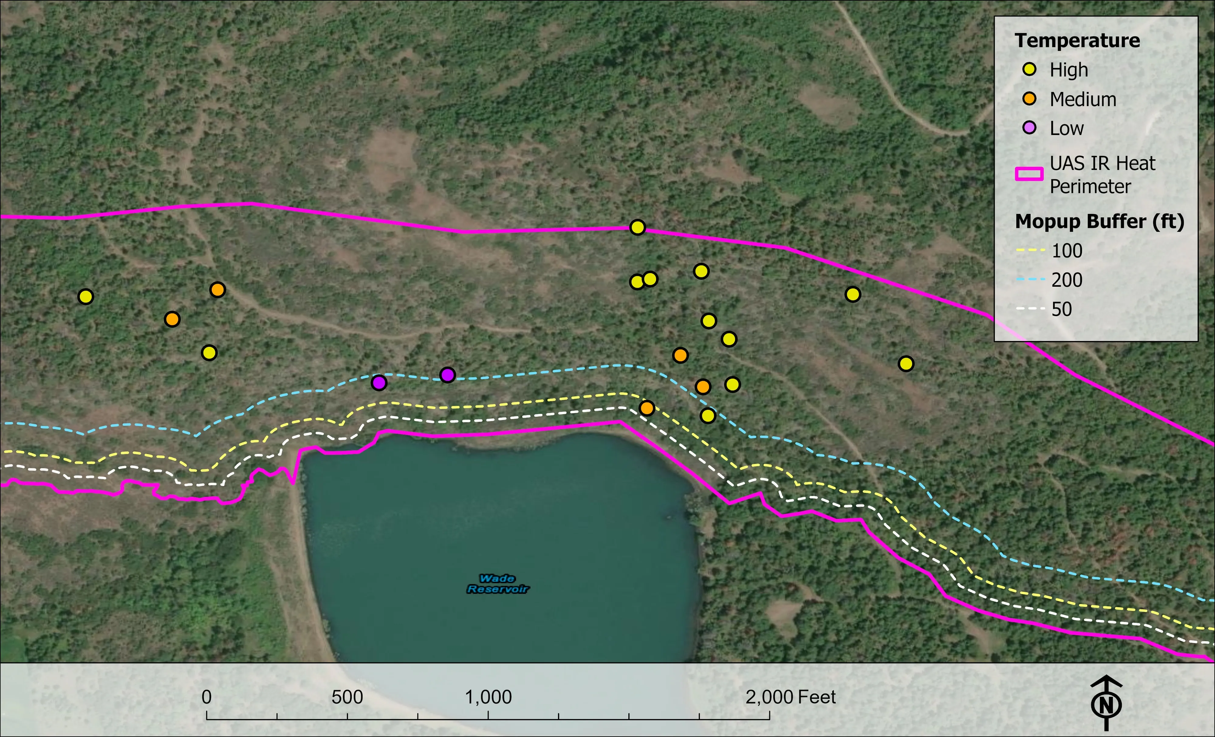
Initial attack beside Interstate 5 near Grants Pass in August 2026. A perimeter map the first evening, then two flights most nights, five nights in all.
Read the caseThe record
Every project we have published
Forestry and trees
- Downed woody debris, measured from the air
- Finding every Oregon ash before the borer does
- At risk, declining, dieback, dead
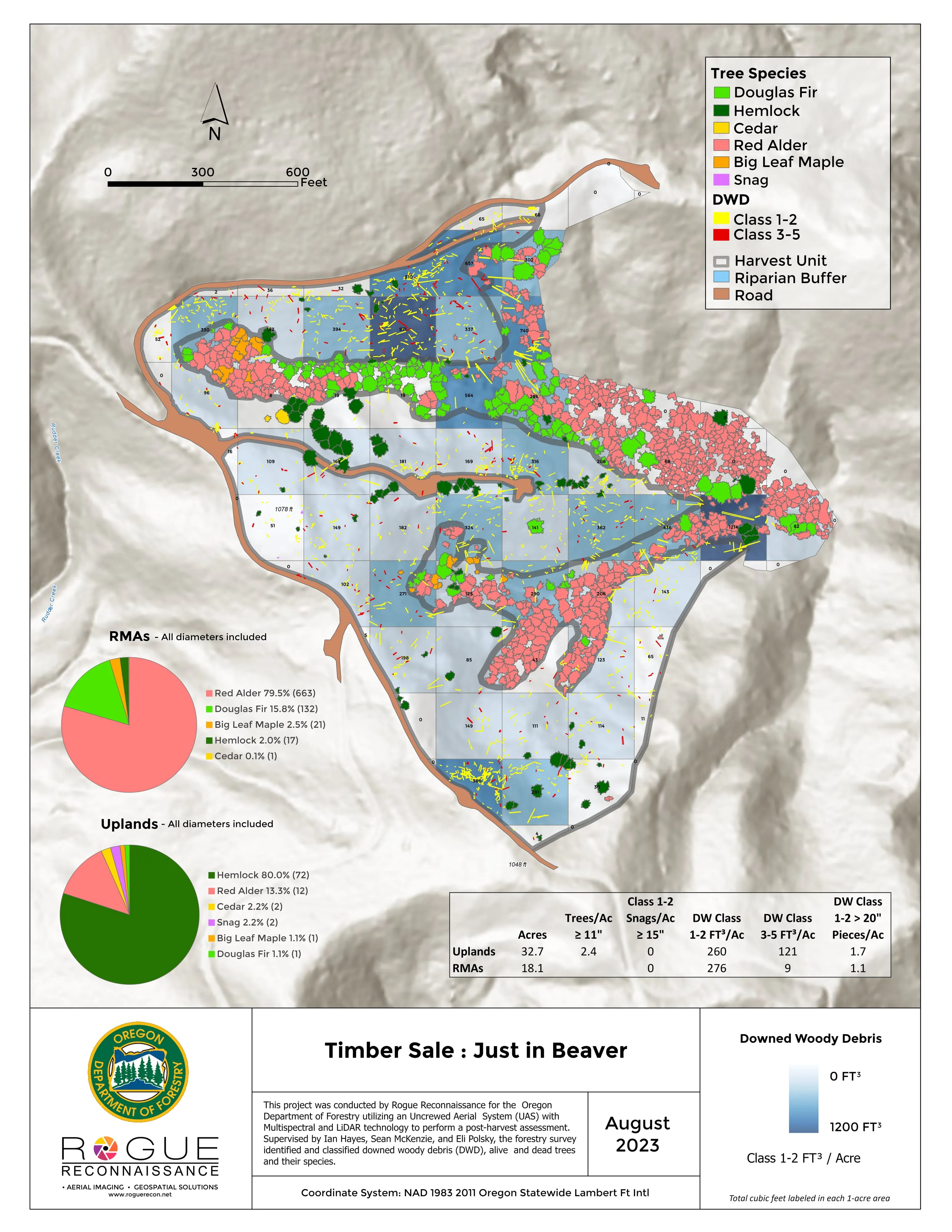
- Post harvest monitoring for ODF
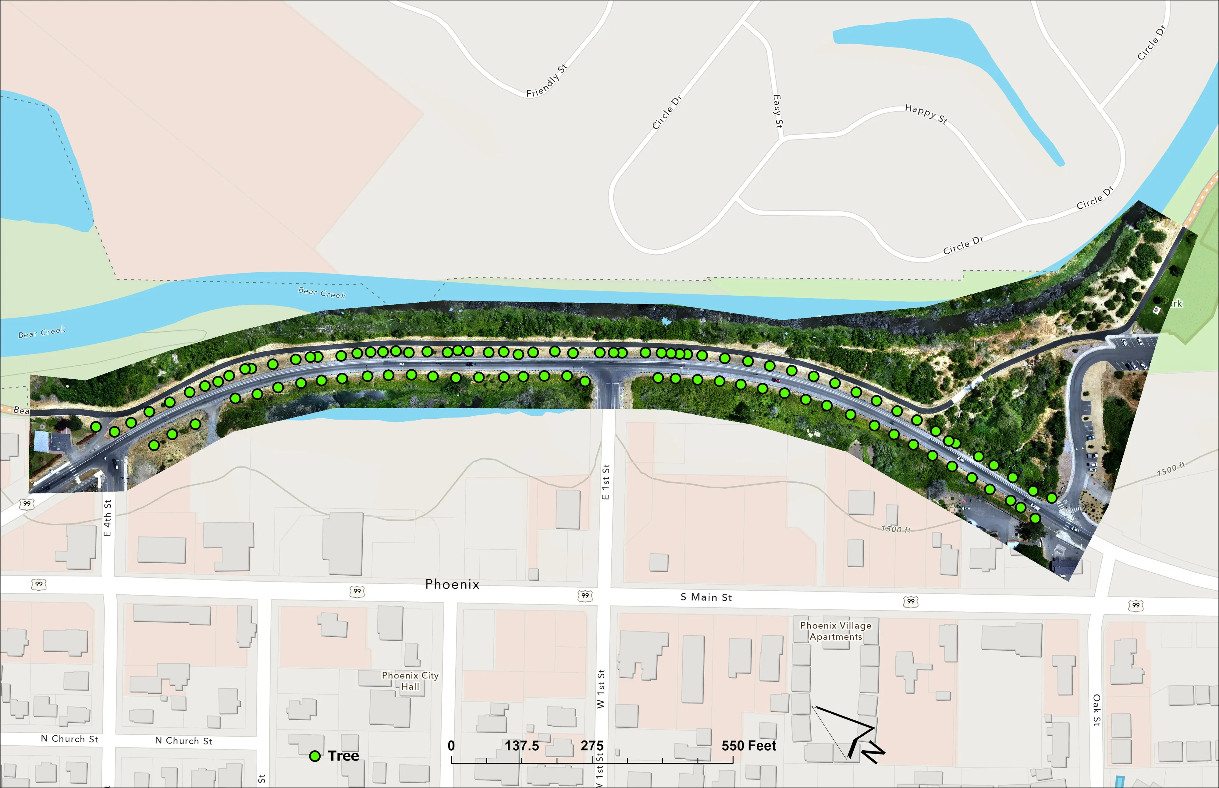
- A planting corridor through Phoenix, tree by tree
Rivers and habitat
- Riparian species and cold seeps on the Scott River
- Ten abandoned mines, bare earth under the chaparral
Wildfire fuels and planning
Night infrared on fires
- Night infrared on ODF incidents since 2019
- East Evans Creek, a season inside one fire
- Fielder Mountain, eleven nights as the heat went out
- Woodrat Mountain, from initial attack to the last check
- Interstate 5 at milepost 57, initial attack beside the freeway
- Tyee Ridge Complex
Terrain and site design
Farm planning
The Tri Cities, field by field.
A circle, a vineyard, a subdivision site or a fire district's steppe. Send the ground and the week that works and we will plan the basin trip.
Email info@roguerecon.net or call 808 298 6290.