

The problem
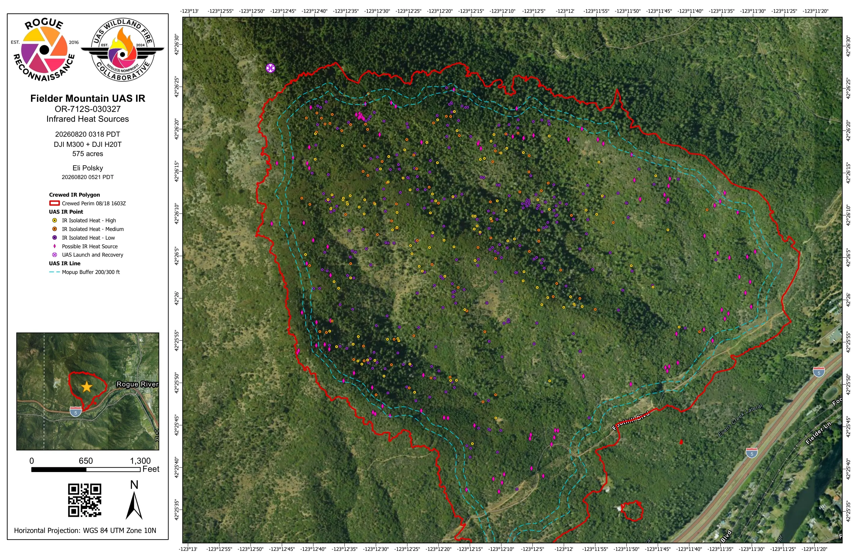
A 575 acre fire on steep ground above Rogue River and Interstate 5, a crewed perimeter already drawn, and a team that needed to know each morning where the heat still was as crews worked the fire out.
What we flew
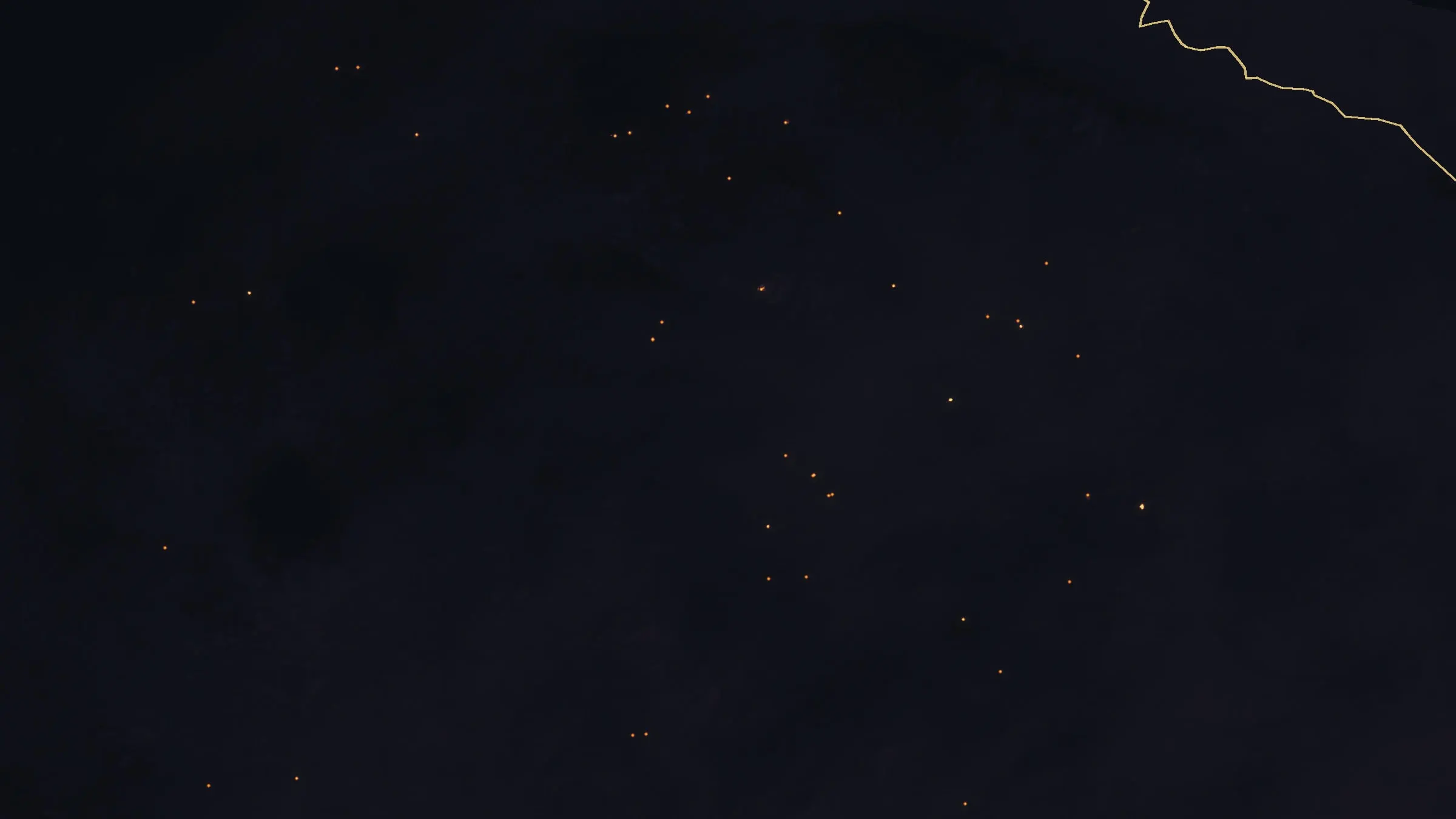
- Night infrared with the Matrice 300 RTK and the Zenmuse H20T, eleven nights between 15 and 26 August 2026
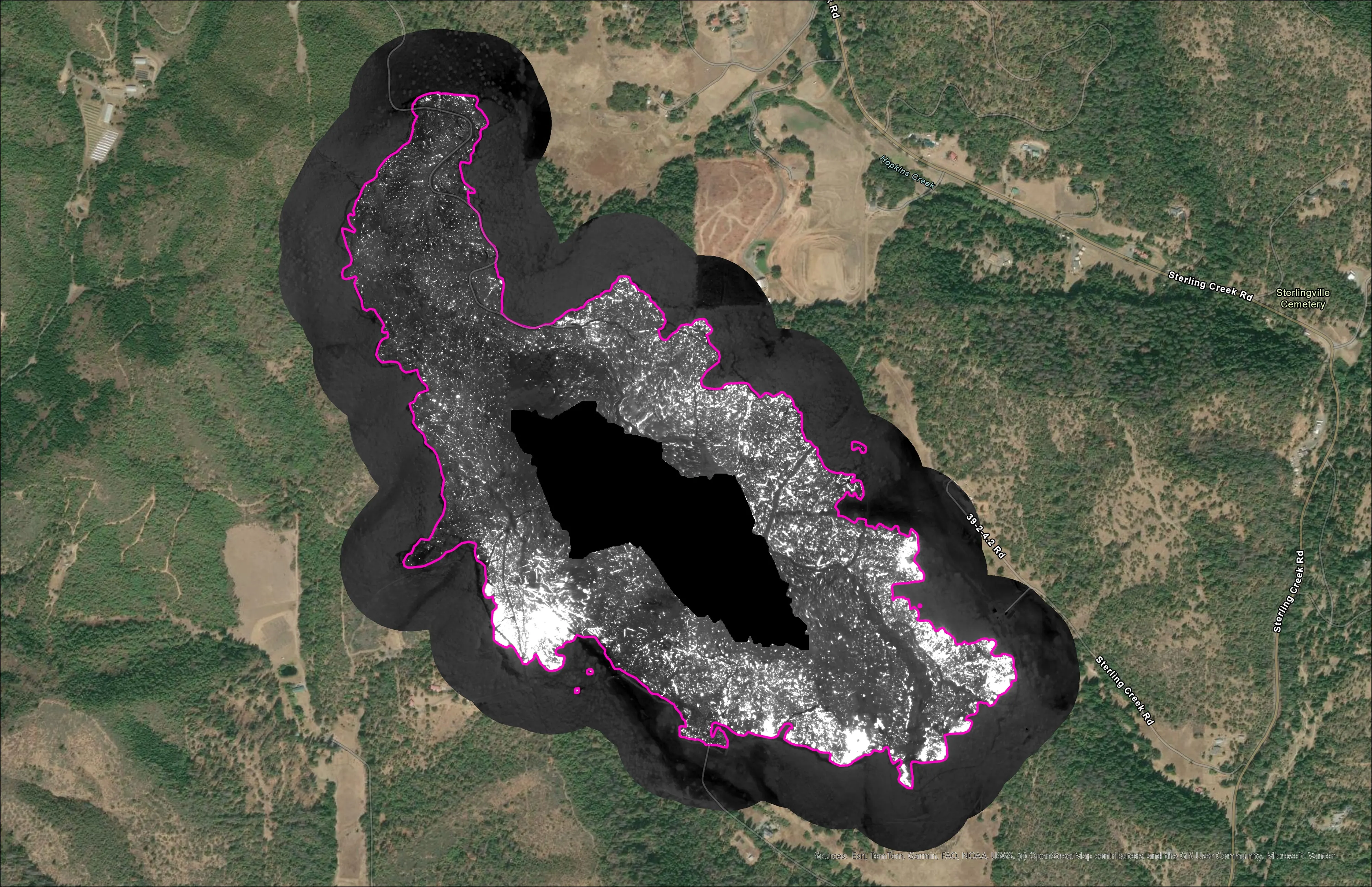
- From the night of 21 August, low flights up from the bottom of the fire, with terrain awareness from the next night on, for sharper mosaics on the steep ground
- One night flown around the department's helicopter night vision training, with our flights halted while it was inside the TFR
What we delivered
- Isolated heat sources classed high, medium and low, with lower confidence signatures marked as possible heat, a class of their own
- Mopup buffers that widened with the work, from 50 feet on the first night to 400 feet by the last
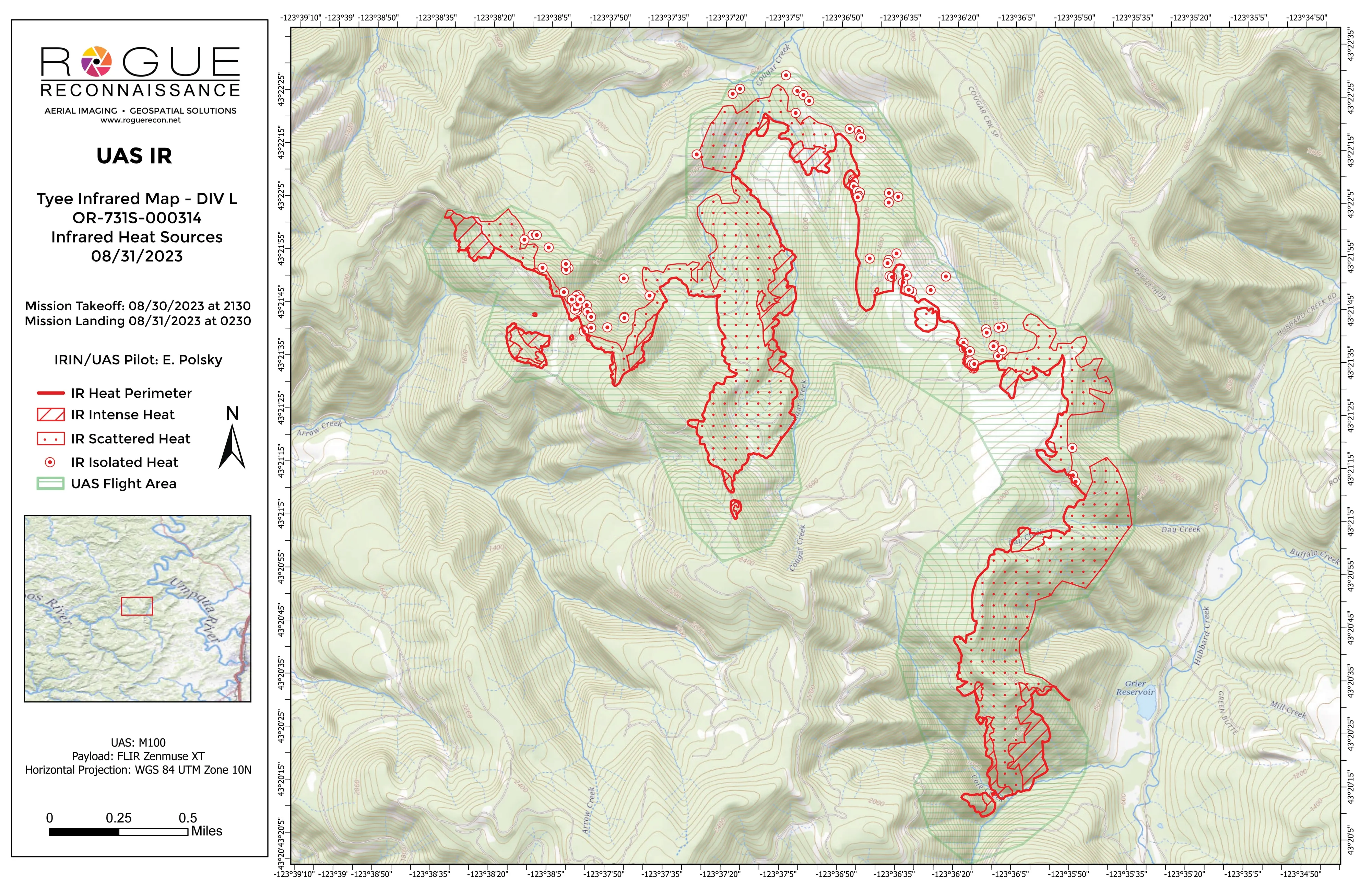
- Templated 11 by 17 sheets in aerial and topo pairs, KMZ, shapefiles, file geodatabase, and the orthorectified infrared GeoTIFF
- A UAS IR flight log for every night
The night the division found more heat than the map
Five nights in, the team and the division told us they were finding more hotspots on the ground than the infrared was showing. That night the threshold came down and the sensitivity went up. More of the signatures we were less sure of went on the sheet as possible heat, the class kept apart from confirmed sources so a crew can tell one worth a look from one to dig out. Possible heat went from 57 marks to 101, and the mopup buffers were drawn at 200 and 300 feet, corrected for slope.
Flying steep ground from the bottom
From the night of 21 August the flights went low, up from the bottom of the fire, and from the next night with terrain awareness. The mosaics got sharper, from about two and a half feet a pixel to about one. On one night we waited for the small hours, when the ground cools and heat that hides in the warmth of the evening shows.
The count, night by night
2,852 isolated heat sources on the first night. 1,054 on the second, 465 on the fourth, 216 on the seventh, 58 on the last. Each figure is the number of features in that night’s delivered layer, so the fire going out is in the incident’s own data, and the buffer the crews were working to went from 50 feet to 400 as it did.
The package builds itself in the field on the pipeline we designed and handed to the UAS Wildland Fire Collaborative.