
The problem
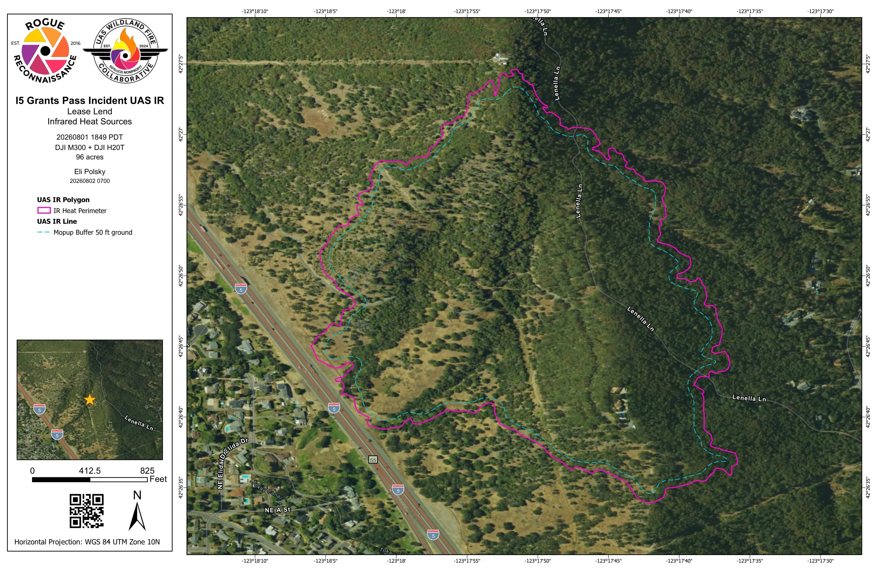
A new fire on the slope above the northbound lanes at milepost 57, people stopped along the interstate to watch, wind gusting above, and an incident commander who needed the edge of the fire on a map that first evening.
What we flew
- Night infrared with the Matrice 300 RTK and the Zenmuse H20T, first launched at 1849 on 1 August 2026 with the aircraft on loan from the East Evans Creek assignment
- Two flights most nights, one for the night shift and one before the morning briefing, five nights in all
- Air ambulance traffic told of our operations, with a working frequency and our ceiling at 3,400 feet above sea level
What we delivered
- The first map that evening as the heat perimeter alone, straight to the incident commander and the night division over the FTP and the online viewer
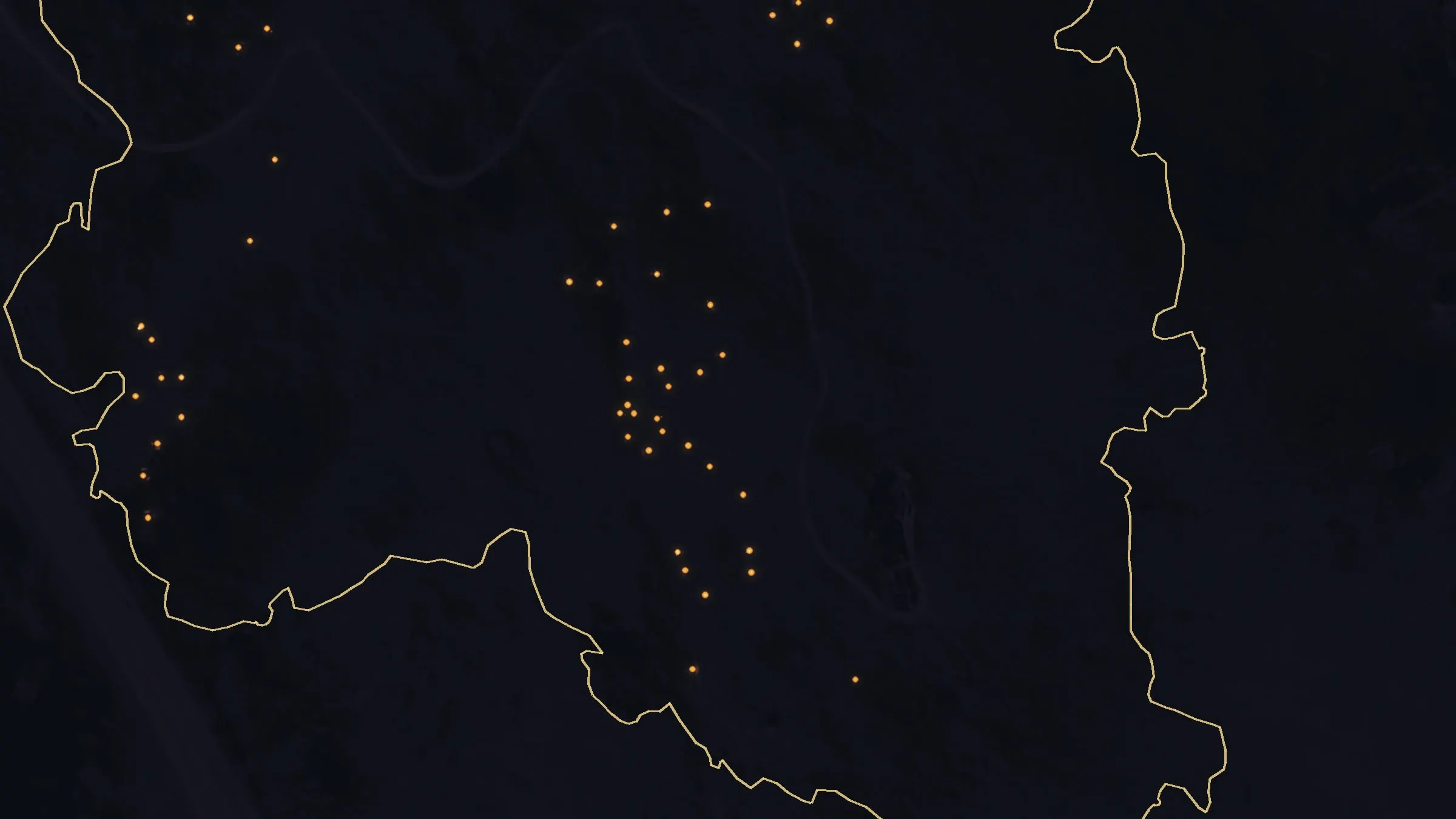
- From the second night, every heat source mapped one by one, with mopup buffers that widened from 50 feet to 300 feet over the five nights
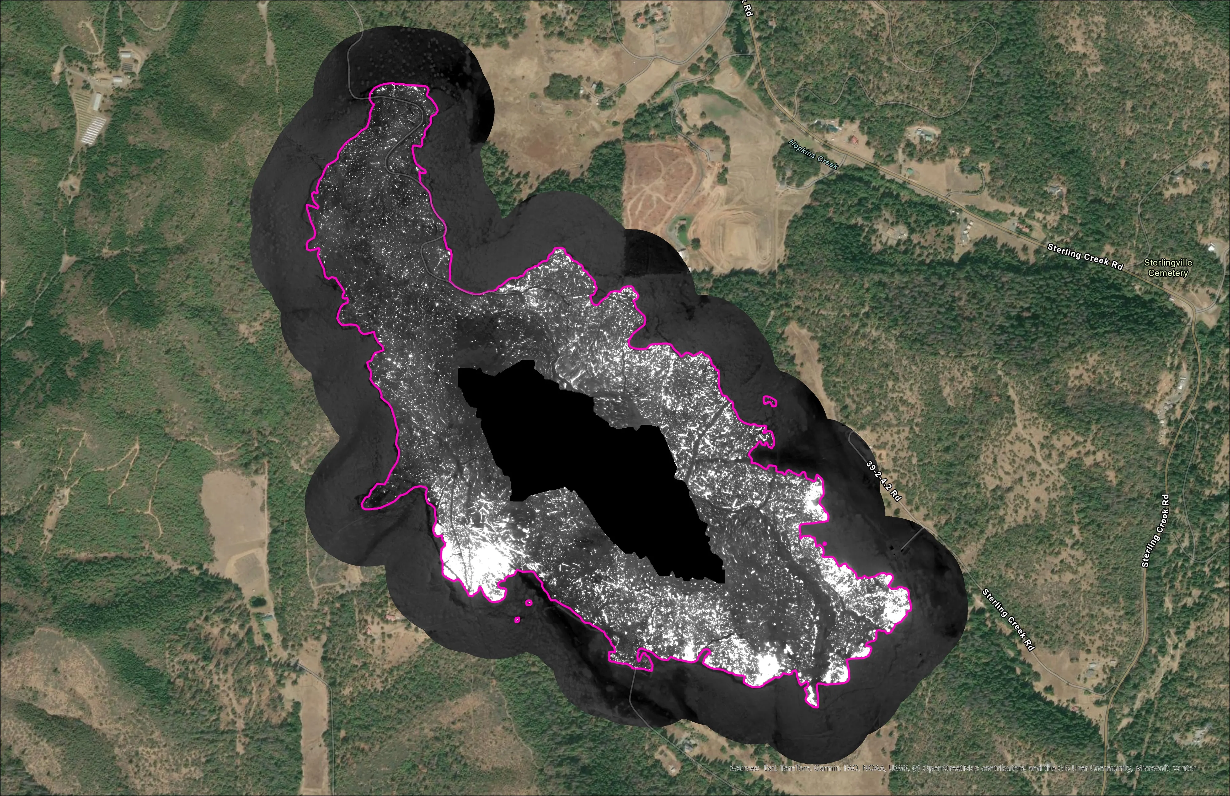
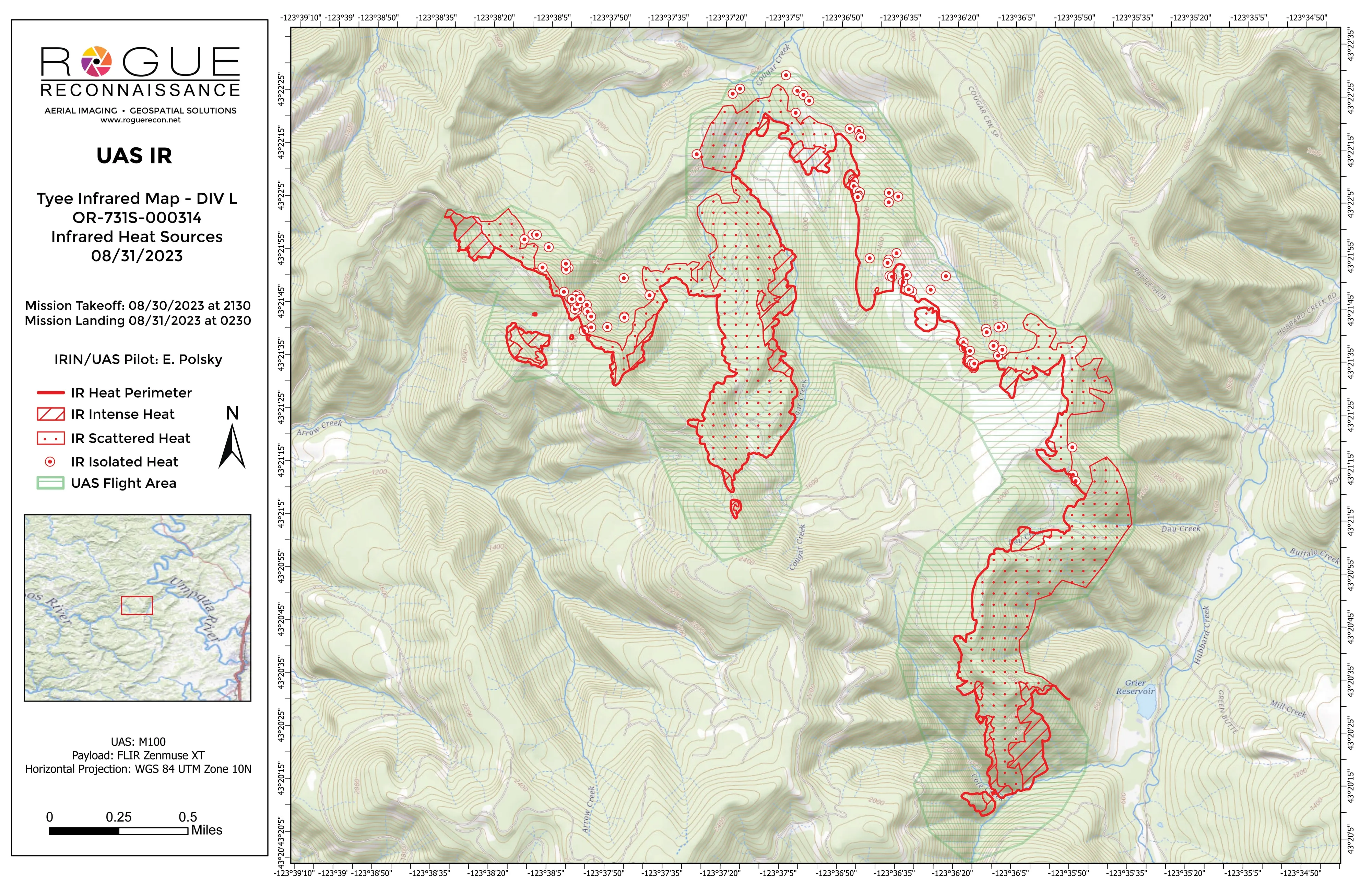
- Templated 11 by 17 sheets in aerial and topo pairs, KMZ, shapefiles, and the orthorectified infrared GeoTIFF
- A UAS IR flight log for every night
Initial attack beside the freeway
The first flight went up at 1849 on 1 August, with the wind gusting above and people stopped along the interstate to watch. The first map was the perimeter alone, the one thing the incident commander needed that evening, and it went straight to the incident commander and the night division. The full map of the heat followed before dawn.
Two flights a night
Most nights we flew twice, once for the night shift and once before the morning briefing. On the first night much of the heat went on the map as areas of intense and scattered heat. From the second night every source was mapped one by one: 925 on the evening flight of 2 August, 636 before dawn, and 100 on the last flight of the assignment.
Warm nights, a higher threshold
As the nights warmed, the threshold for a positive heat signature went up a little, so warm ground did not read as fire. The last flight, at 2310 on 5 August, mapped mopup for the Florida team. Every night’s buffer was wider than the one before, from 50 feet on the first night to 300 on the last.