Wildland Fire
Fire intelligence when the incident needs it.
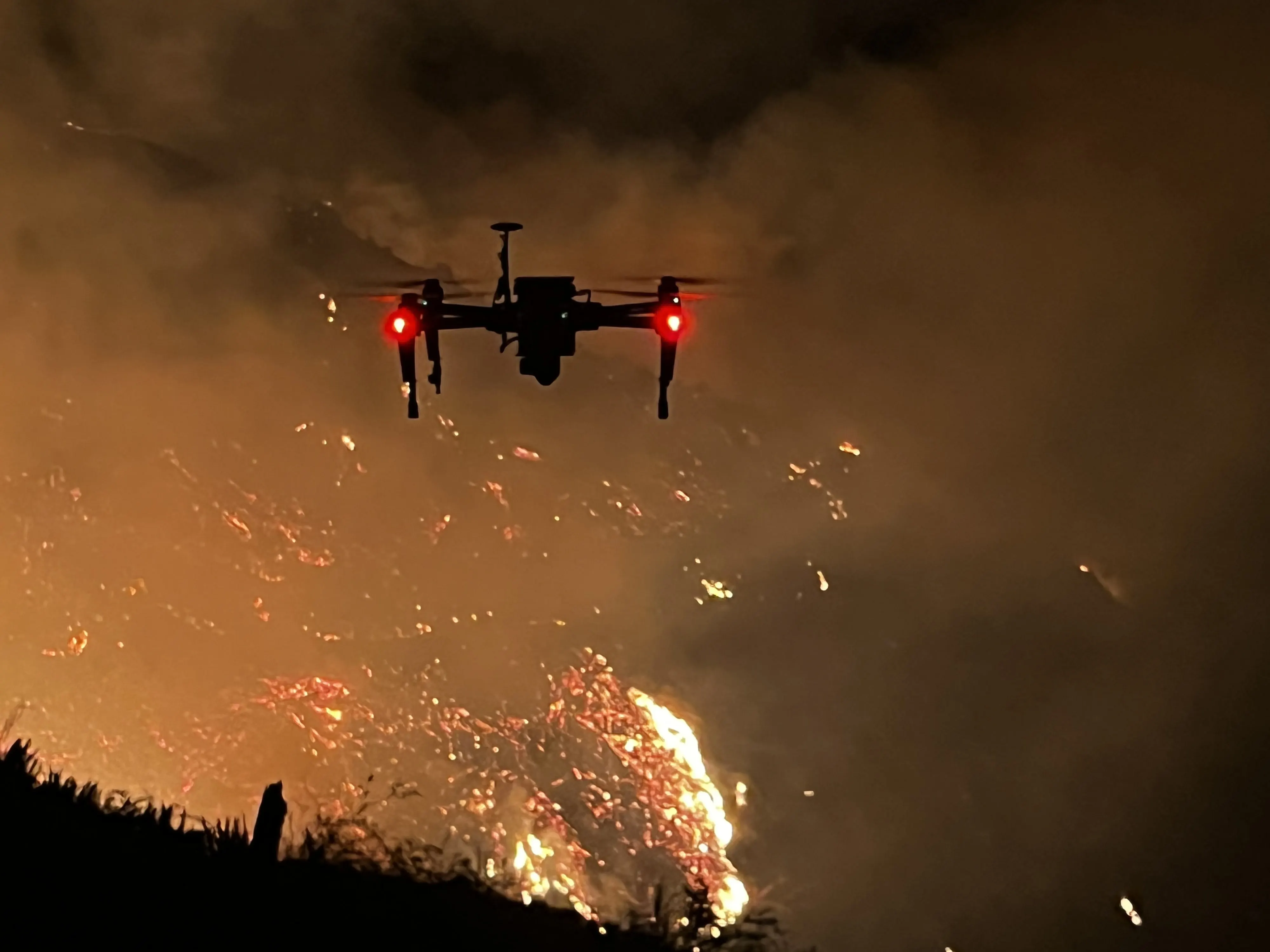
Night infrared mapping, hotspot detection, and perimeter products delivered to the incident management team the same shift.
What we deliver
The same package every shift
Nothing for an incident to learn on a bad night, and nothing to convert before it is useful.
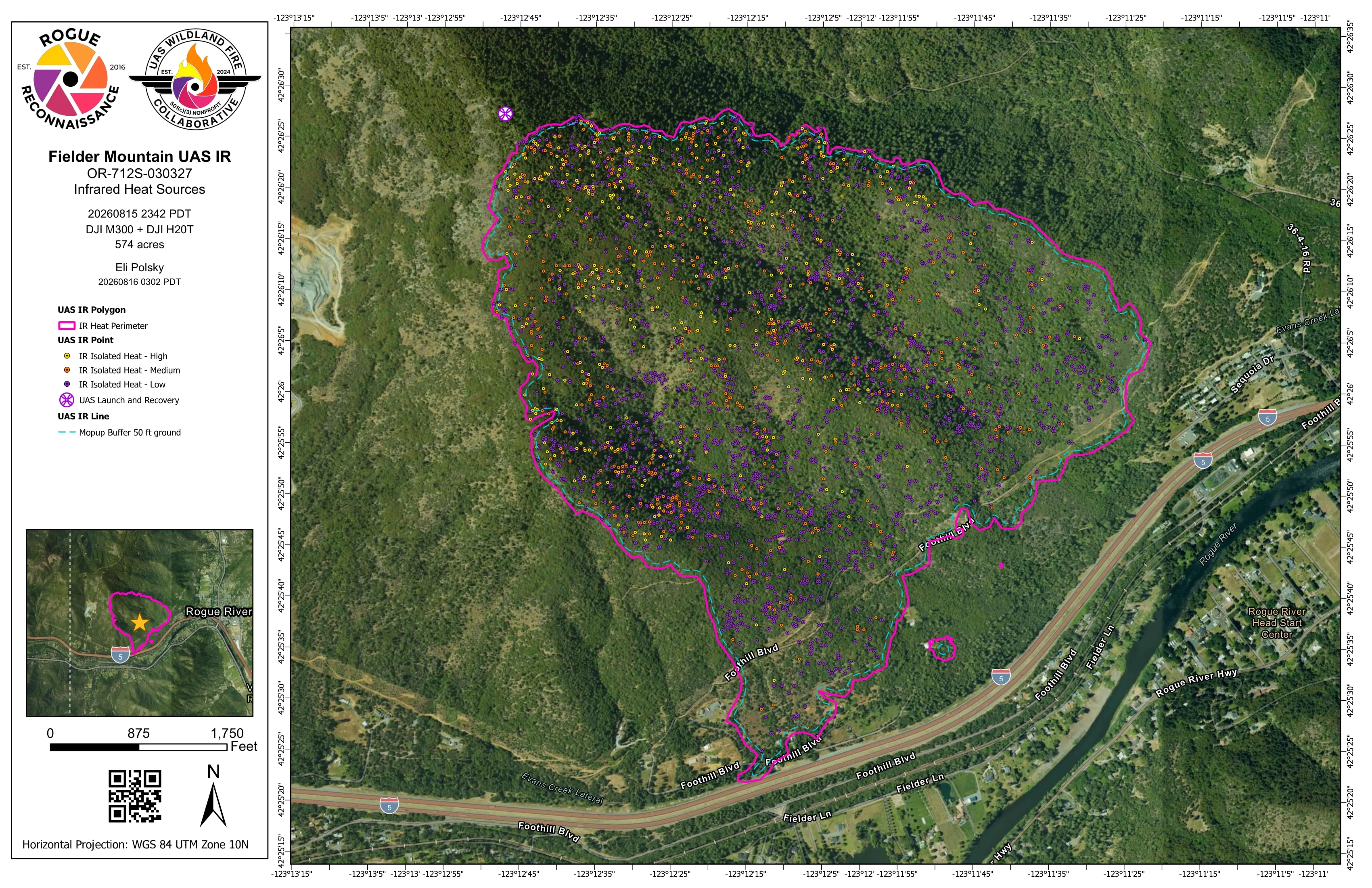
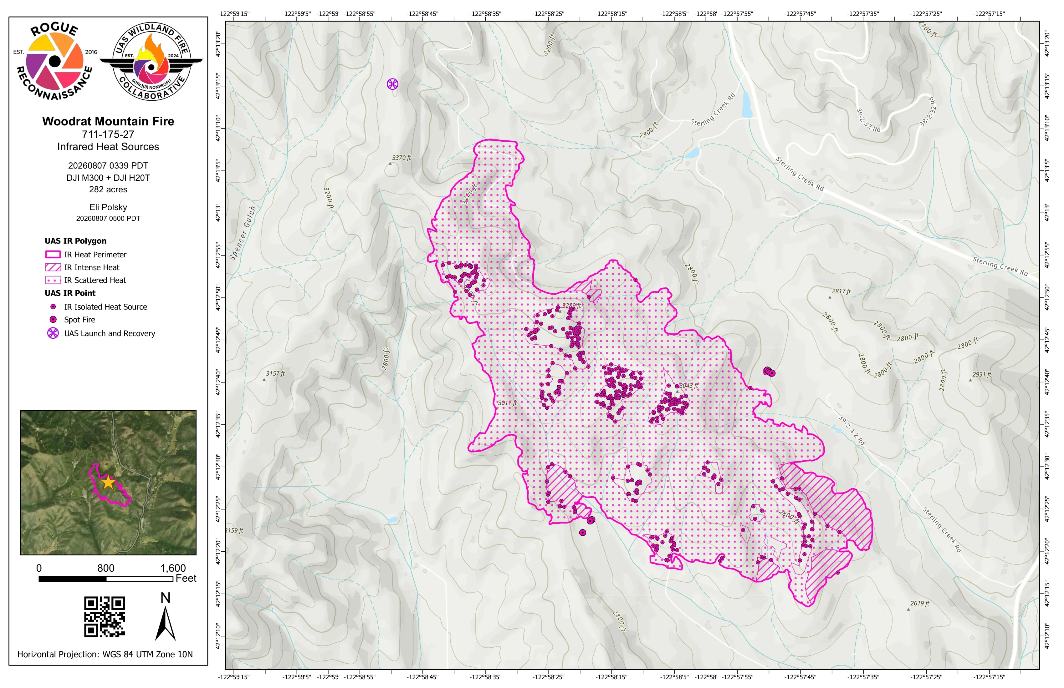
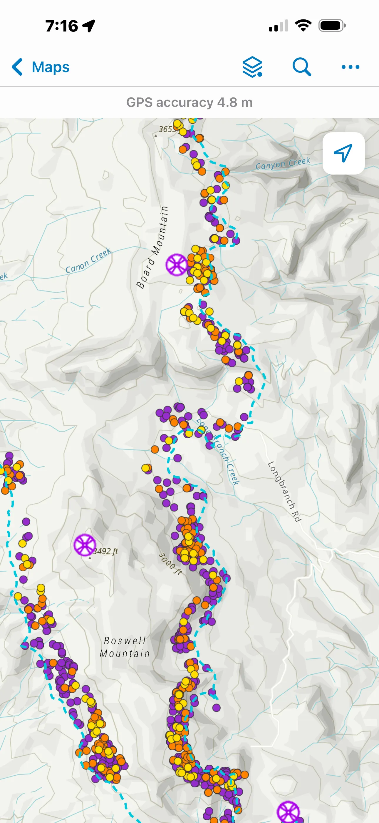
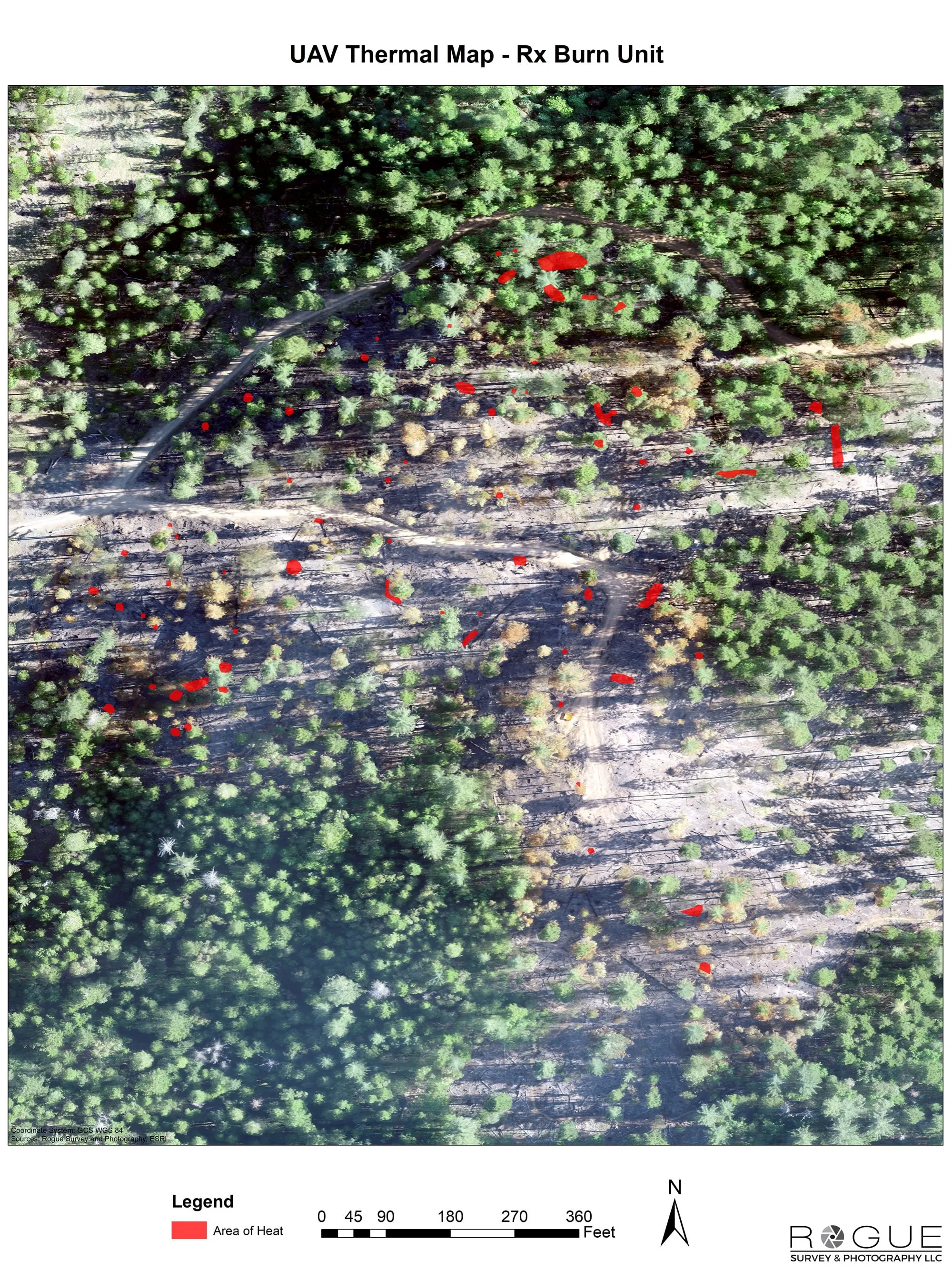
- Heat perimeter, intense and scattered heat, and isolated heat points classed high, medium, and low, in the NIFS schema the incident's GIS specialist, the GISS, expects, carrying the IRWIN identifier
- Mopup buffers at whatever distance the IC and operations set, 50 to 400 feet off the line depending on the fire, so heat inside the buffer reads as a task with an edge on it
- Templated 11 by 17 map sheets, aerial and topo pairs, both operator logos, with a QR to the live data
- File geodatabase and shapefile set, KMZ for Avenza, TAK, FireSync, and Field Maps, orthorectified IR GeoTIFF
- UAS IR flight summary: aircraft, sensor, pilot, times, coverage, interpreted size, method
- Hosted feature service the crew opens in Field Maps, Avenza, TAK, or FireSync at 0700
Why a firefighter's drone company
This work comes from the fire side
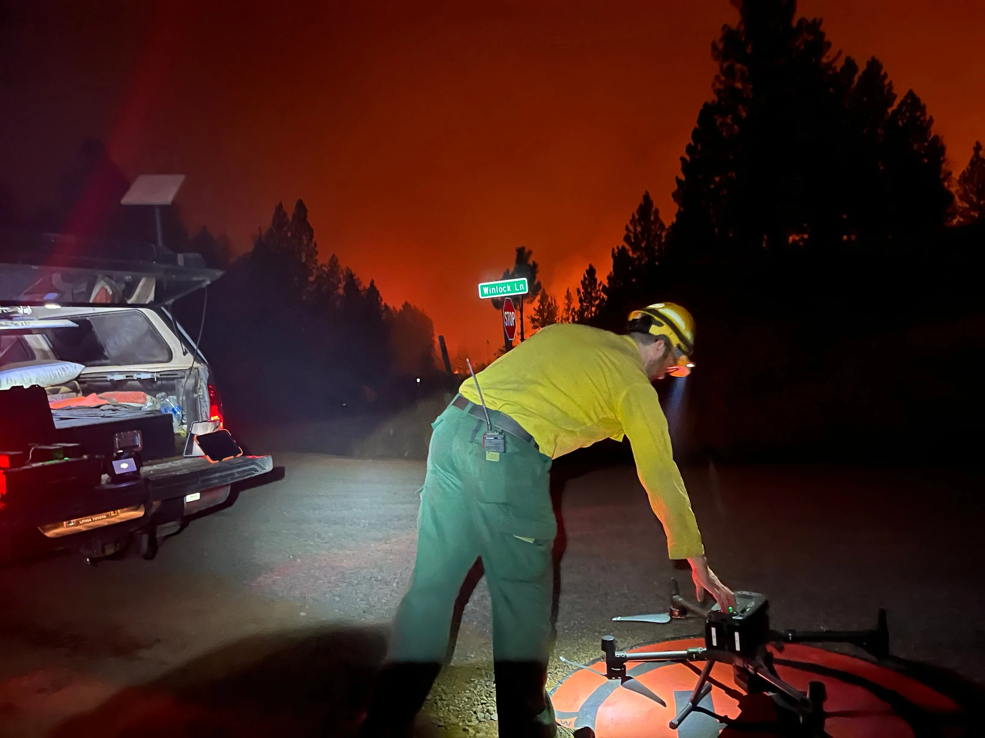
Red carded, on the fire line since 2012, and an ODF Call When Needed resource since 2019. Certificate of Authorization experience in controlled airspace. We carry the incident tactical and air to air frequencies, deconflict with the ARTCC, and operate inside the TFR under 14 CFR 91.137 rather than around it.
Every map on this page is a Rogue Reconnaissance job.
- FAA Part 107 remote pilot, certificated November 2016
- Red carded wildland firefighter: FFT1, GISS, UASD
- Administratively Determined resource, US Forest Service
- Oregon Department of Forestry Call When Needed UAS resource since 2019
- Certificate of Authorization holder, Class D and Class E2 airspace
- SAM.gov registered federal contractor, UEI RUE6PBWSLAN6, CAGE 9DDE5
- Insured remote pilots
- Founder, UAS Wildland Fire Collaborative, a 501(c)(3)
The pipeline
Built here, then handed to the collaborative
A pilot's raw thermal export becomes an incident ready package in about five minutes. Orthorectified mosaic, heat classified from measured temperature, perimeter and isolated heat sources in the schema the GISS expects, the map sheets, and the flight summary. We designed and built that pipeline at Rogue Reconnaissance, on our own fires, because the alternative was handing a GISS a folder of images at four in the morning.
Then we gave it away. It runs at the UAS Wildland Fire Collaborative, the nonprofit we founded, so any pilot on any fire can hand the incident the same packet in the same schema. State, contractor, and district pilots use it now.
So there are two ways in. If you are a pilot or a program looking for the platform itself, that is the Collaborative. If you want us to fly your incident, that is this page.
How a shift works
When the aircraft leave for the night, we go to work
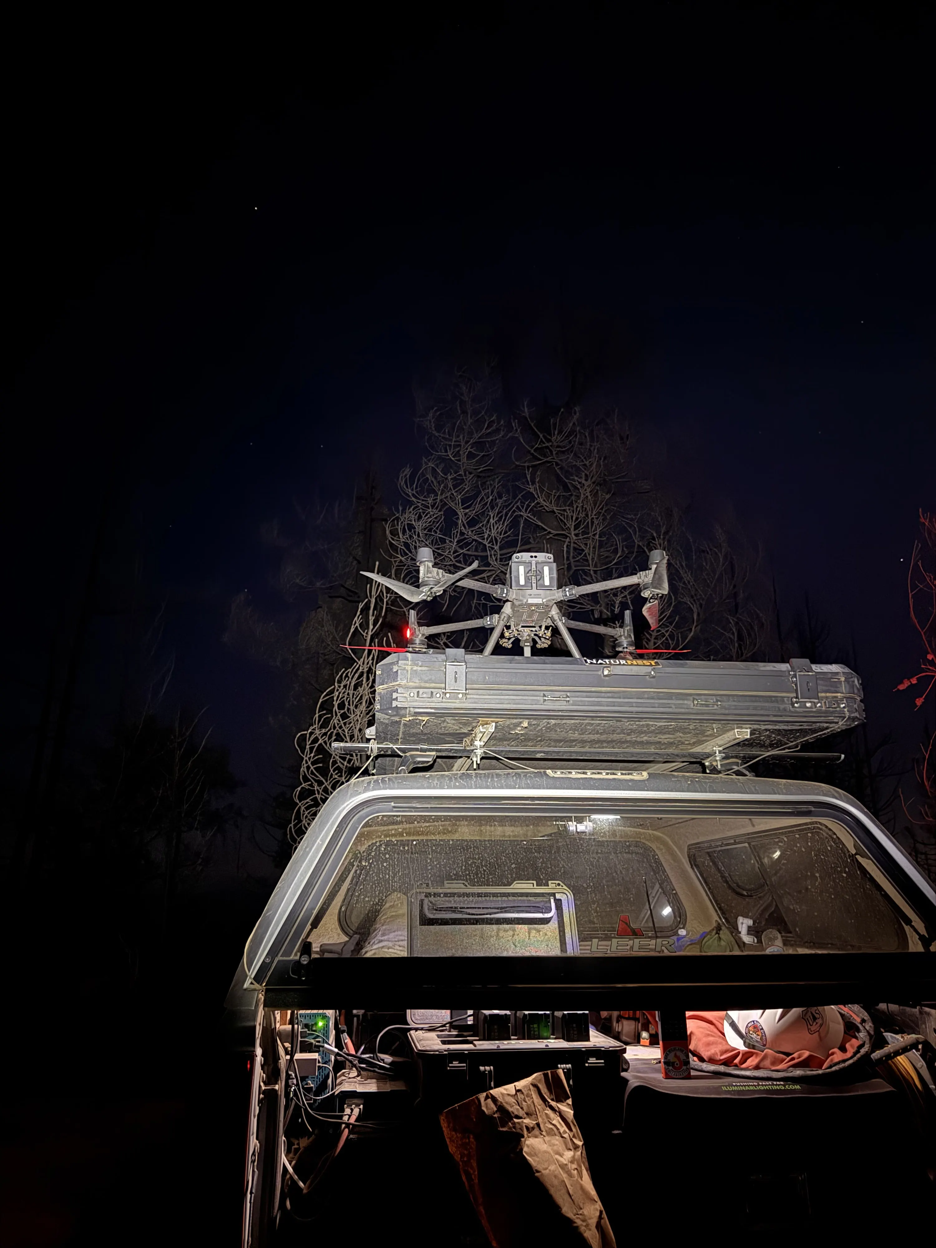
Flying at night is safer, the airspace is quiet, and heat signatures read cleaner against cooled ground.
-
 01
01Mobilize under Call When Needed
Resource order in hand, we coordinate with air operations, the IC, division supervisors, and the ARTCC before dark, and put the launch and recovery point in the layer.
-
 02
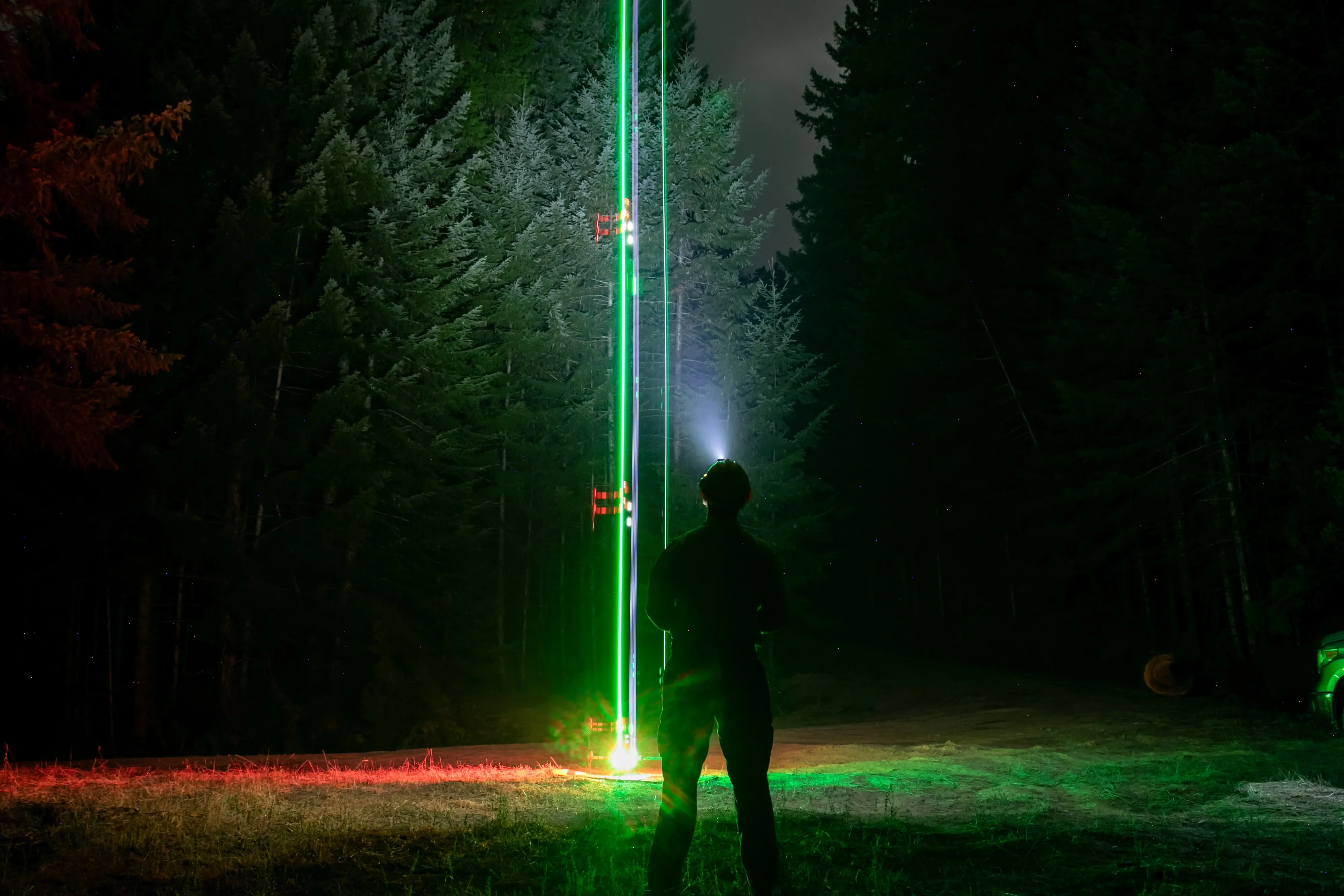
02Fly the night shift
After the incident's aircraft leave for the night we grid the division with a radiometric thermal camera, flown as a mapping mission. The duty period runs 1300 to 0800.
-
 03
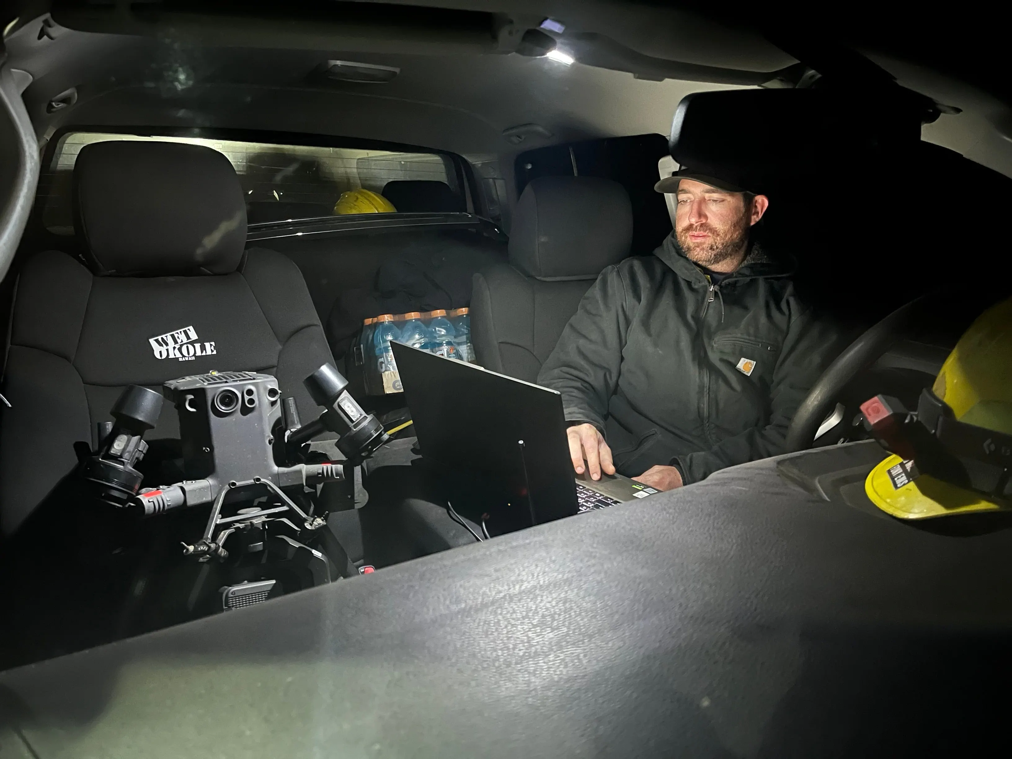
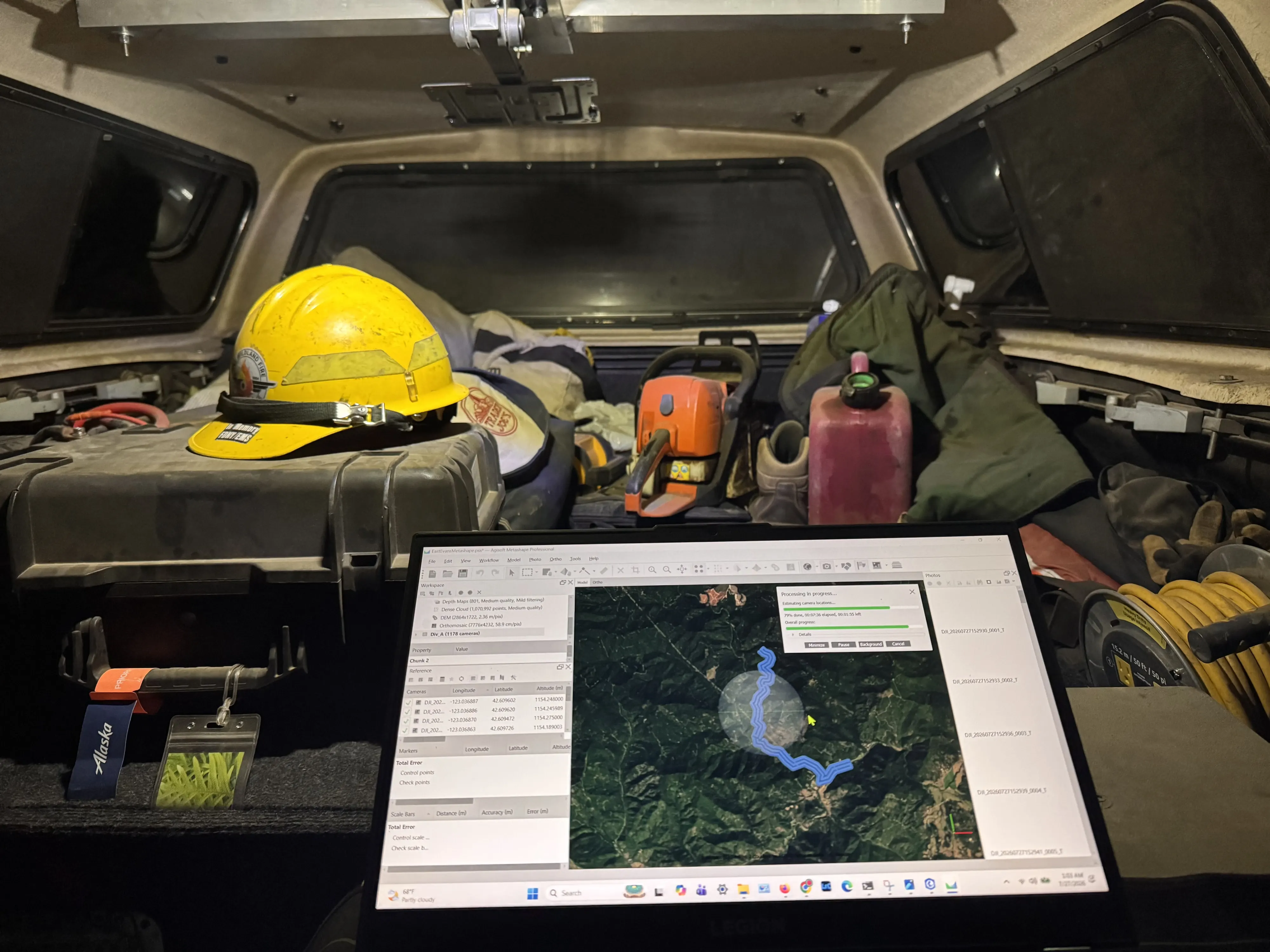
03Process in the field
The imagery becomes an orthorectified thermal mosaic and heat is classified from measured temperature. The package builds in about five minutes.
-
 04
04Deliver before briefing
Map sheets, geodatabase, shapefiles, KMZ, and the flight summary go to the GISS and the IMT before the morning briefing, most nights by 0500.
Who it is for
Fires that never get a crewed infrared flight
- State agencies under Call When Needed agreements
- Type 3 incidents and initial attack, where the first perimeter product comes off a tailgate
- Prescribed fire planning, ignition documentation, and mortality mapping afterward
- Post fire assessment for the mitigation work that follows
Smoke and inversion ground most aircraft. We can usually see through the inversion or fly under it, so the mapping still happens on the nights other platforms cannot fly at all.
Watch
Tyee Ridge Complex, 2023

Fire assignments
From the field
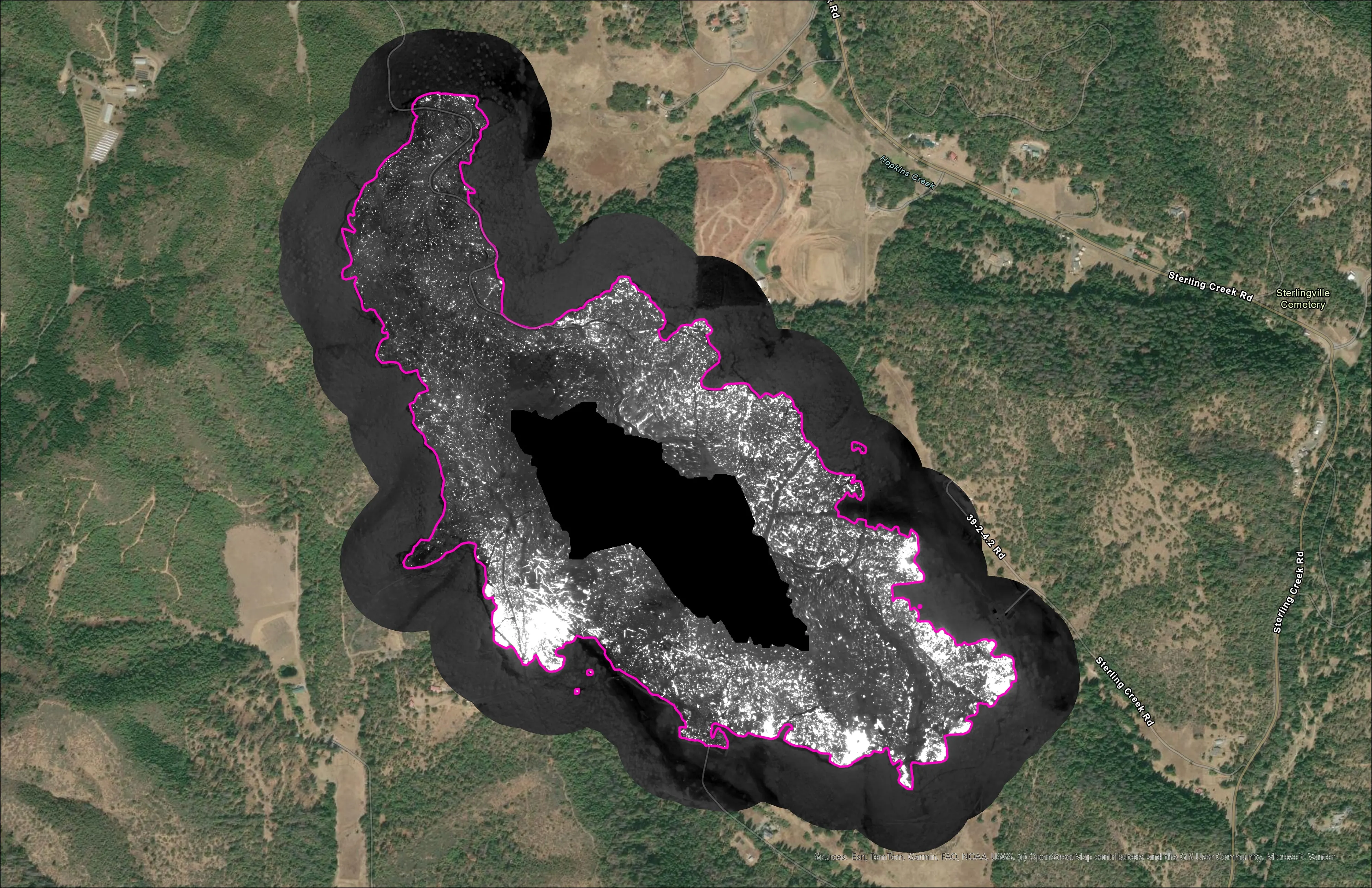
Night infrared on ODF incidents since 2019
Oregon Department of Forestry, State Aviation
Call When Needed UAS infrared resource on active incidents, with heat perimeter and hotspot products in the GISS's hands before the morning briefing.
Read the case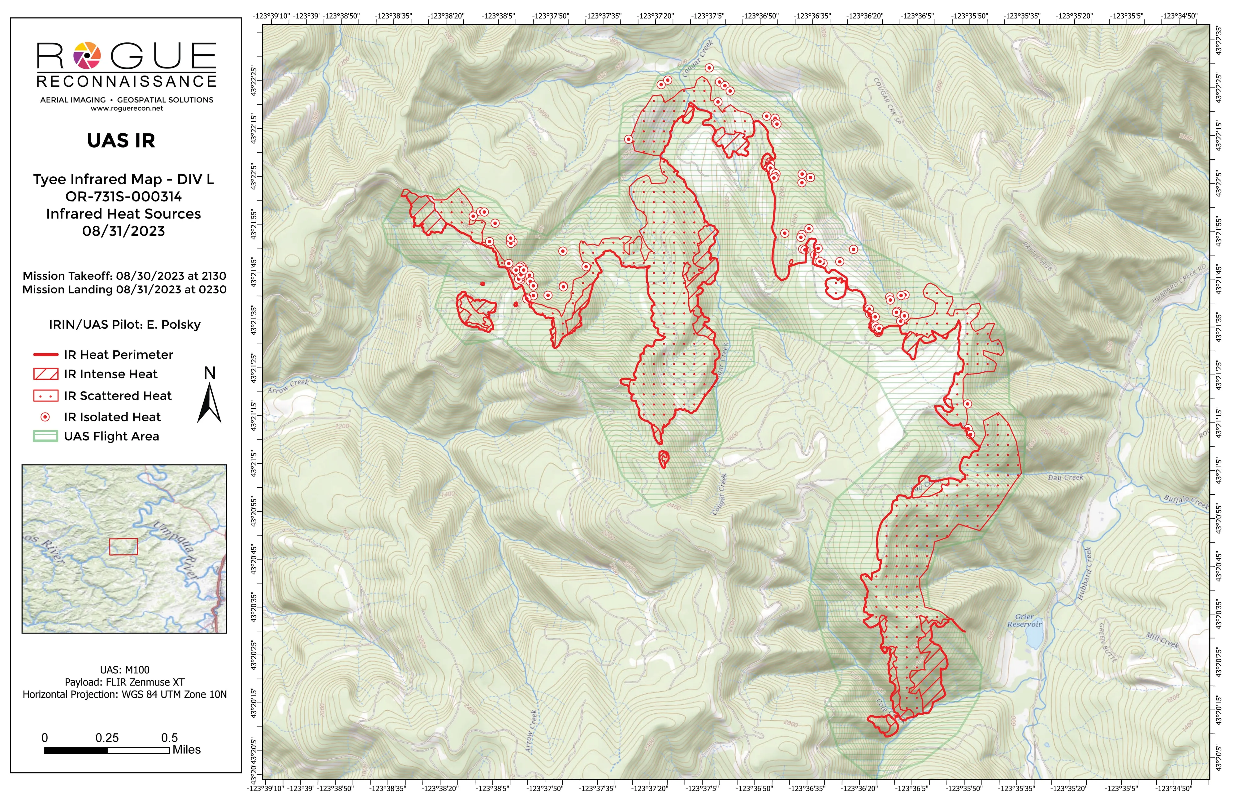
Tyee Ridge Complex
Oregon Department of Forestry
Nightly infrared mapping by division on a complex fire, including a spot fire caught outside the line.
Read the case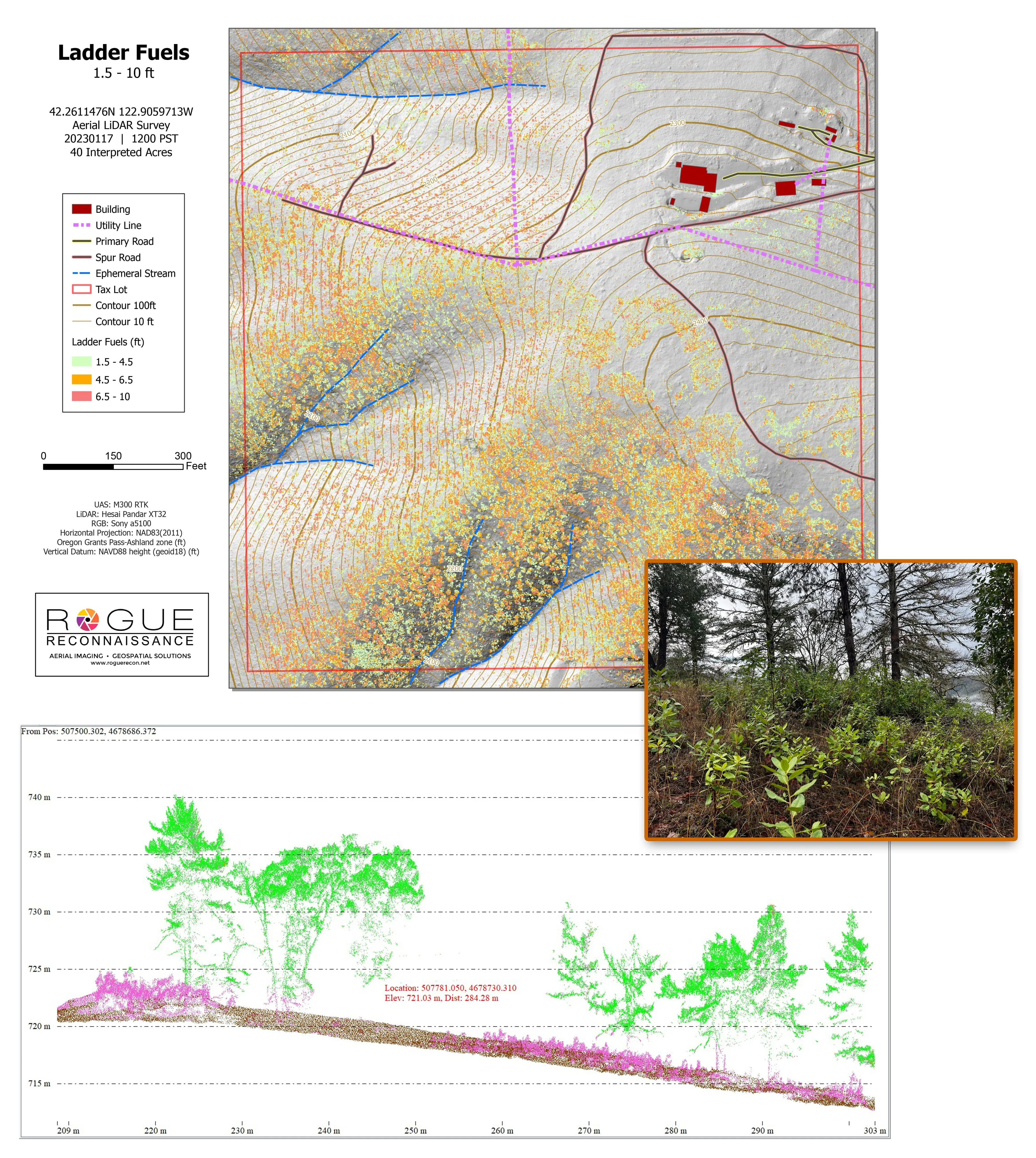
Citywide LiDAR for the Ashland CWPP
City of Ashland
Citywide drone LiDAR that gave the 2025 Ashland Community Wildfire Protection Plan its ladder fuel and structure exposure numbers.
Read the caseThe sensors and methods behind this lane:
Let's talk about your fire season.
Email info@roguerecon.net or call 808 298 6290.