
Rogue Reconnaissance
Contact

Property

Colver Road Park, the LiDAR pilot

Our own pilot on a public park. Planimetrics, contours, tree canopy, and tree heights from drone LiDAR on one sheet, checked on the ground.

Client
Rogue Reconnaissance pilot project
Location
Colver Road, between Talent and Phoenix, Oregon
Years
2022 to 2023
Lane
Property

The problem

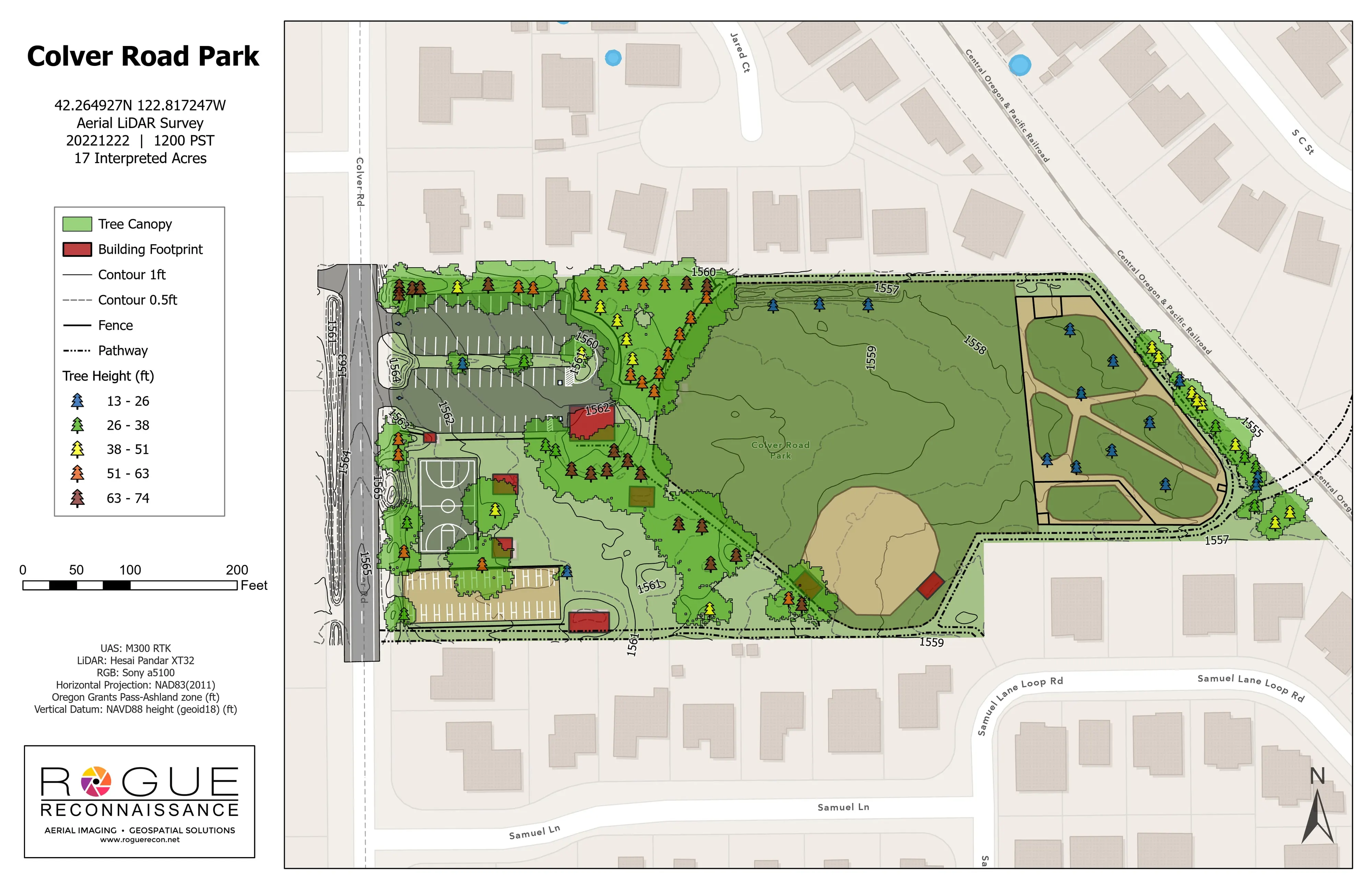
Before we offered planimetrics from drone LiDAR we flew a public park on our own time to find out where the workflow broke. Trees, buildings, paths, and the ground on one current base, with heights, and about 80 trees checked in the field for species and diameter.

What we flew

  • Drone LiDAR and RGB, December 22, 2022, leaf off, delivered in January 2023

What we delivered

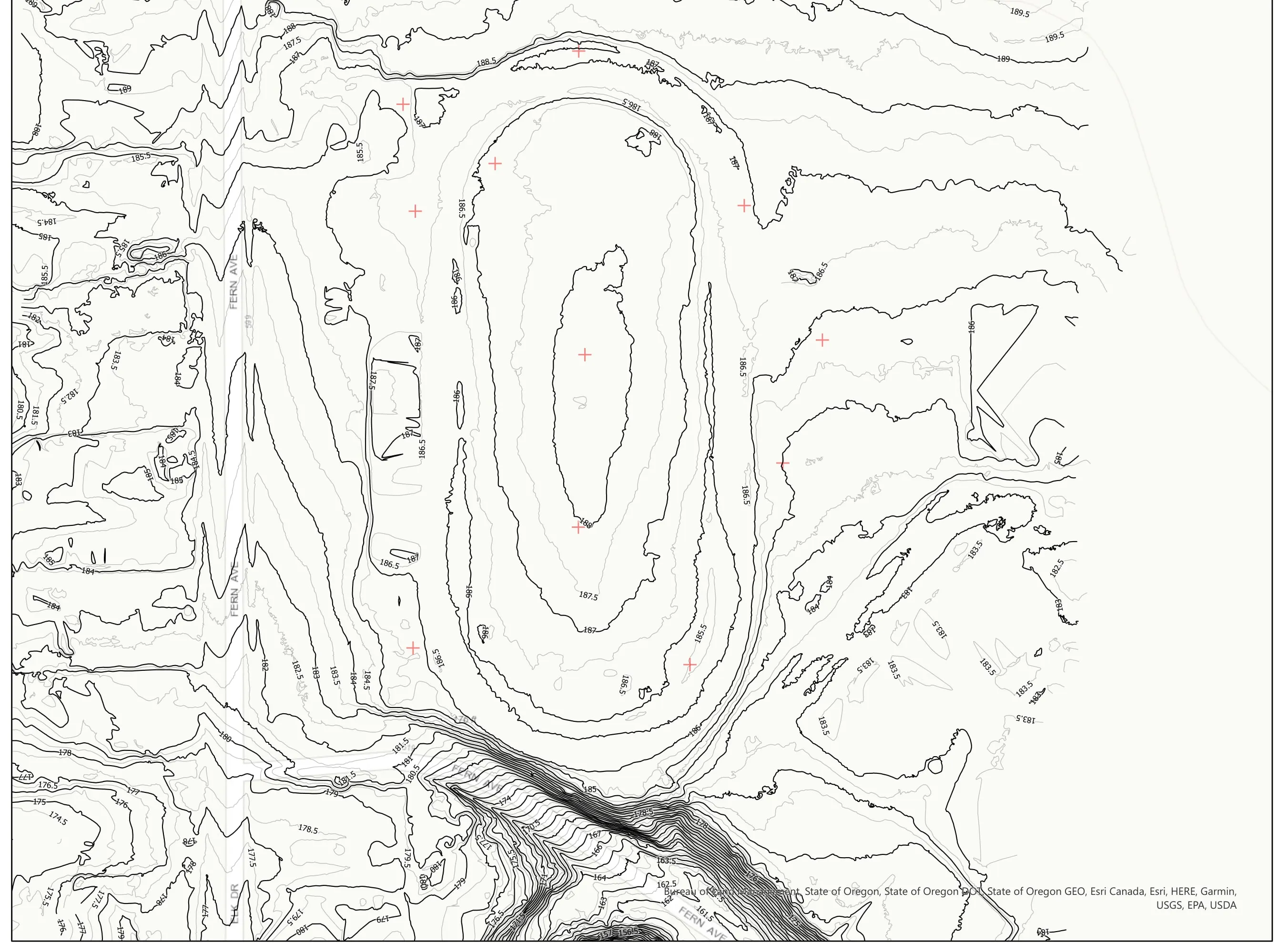
  • Planimetrics map with tree canopy, building footprints, paths, courts, parking stalls, and contours
  • Tree points with heights in classes, 1,038 small and 103 large trees detected
  • About 80 trees checked in the field for species and diameter
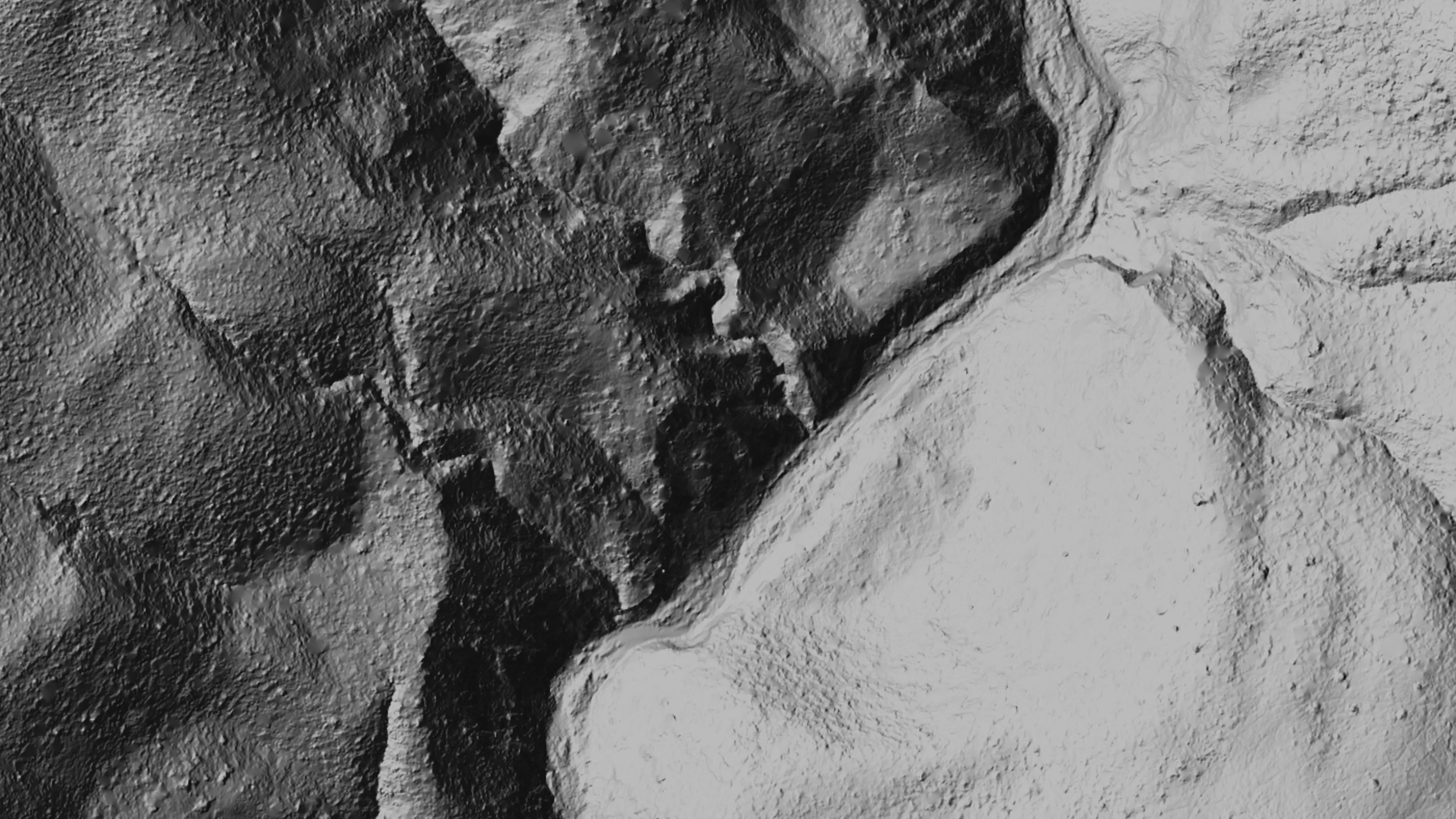
  • Classified point cloud and CAD exports
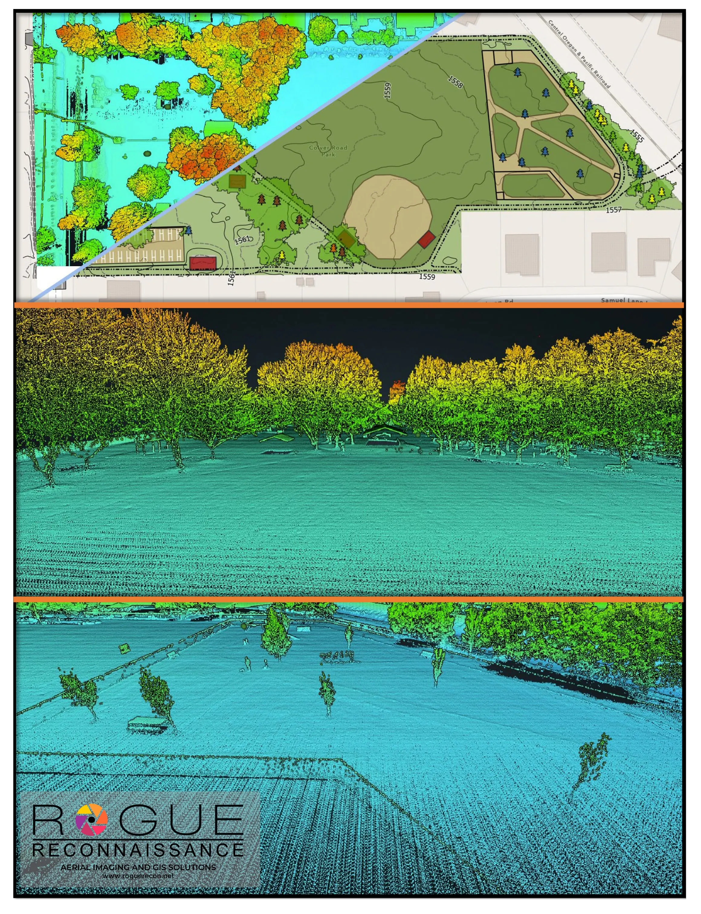
Planimetrics sheet: canopy, footprints, paths, contours, and tree heights.
Planimetrics over the park.
Classified point cloud of the park, trees colored by height.
The classified point cloud, trees by height.
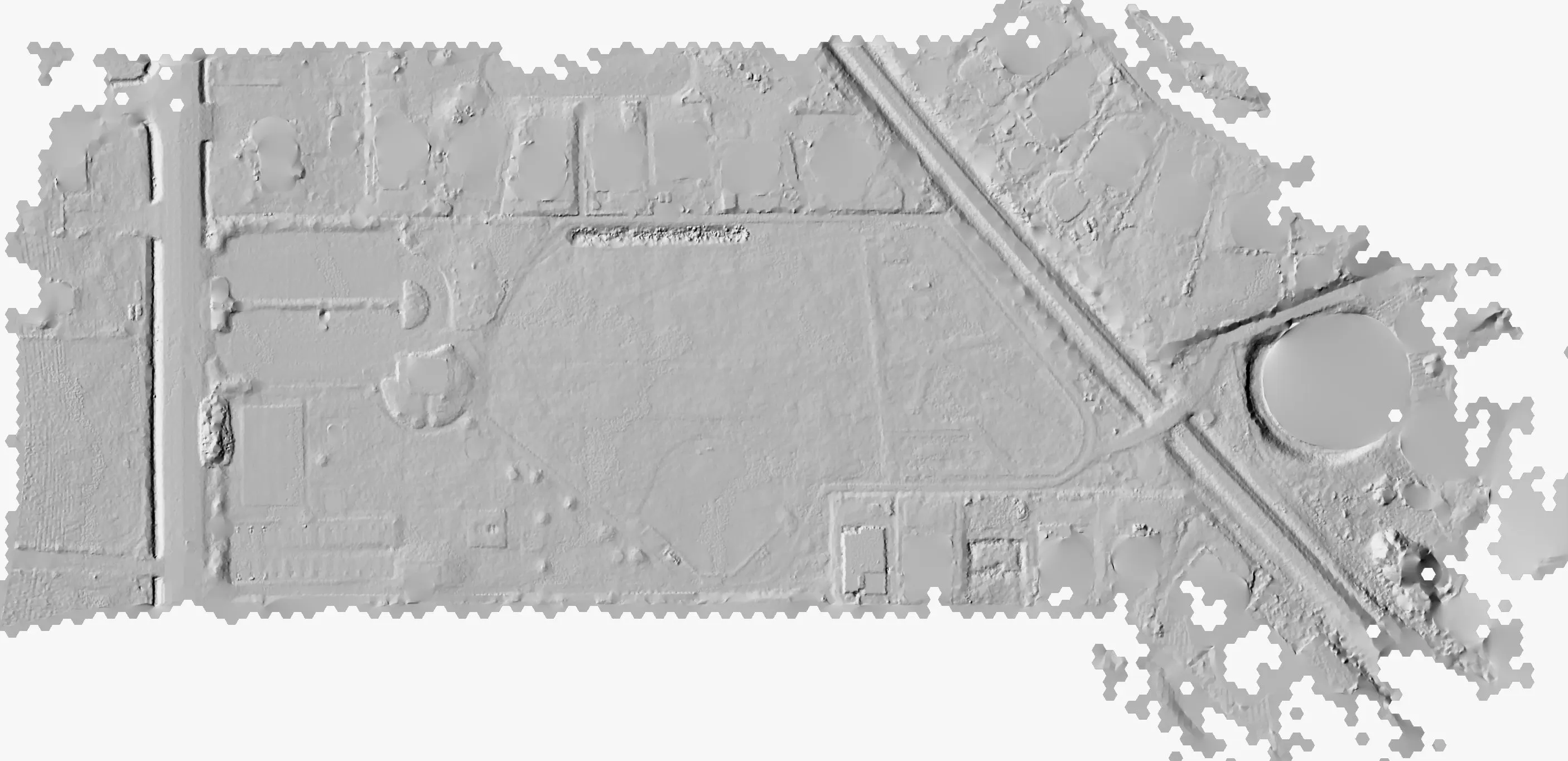
Bare earth hillshade of a city park: paths, ball fields, and a roofed structure at the east end in relief.
Bare earth hillshade of the park. Every curb, mound, and track edge in relief.
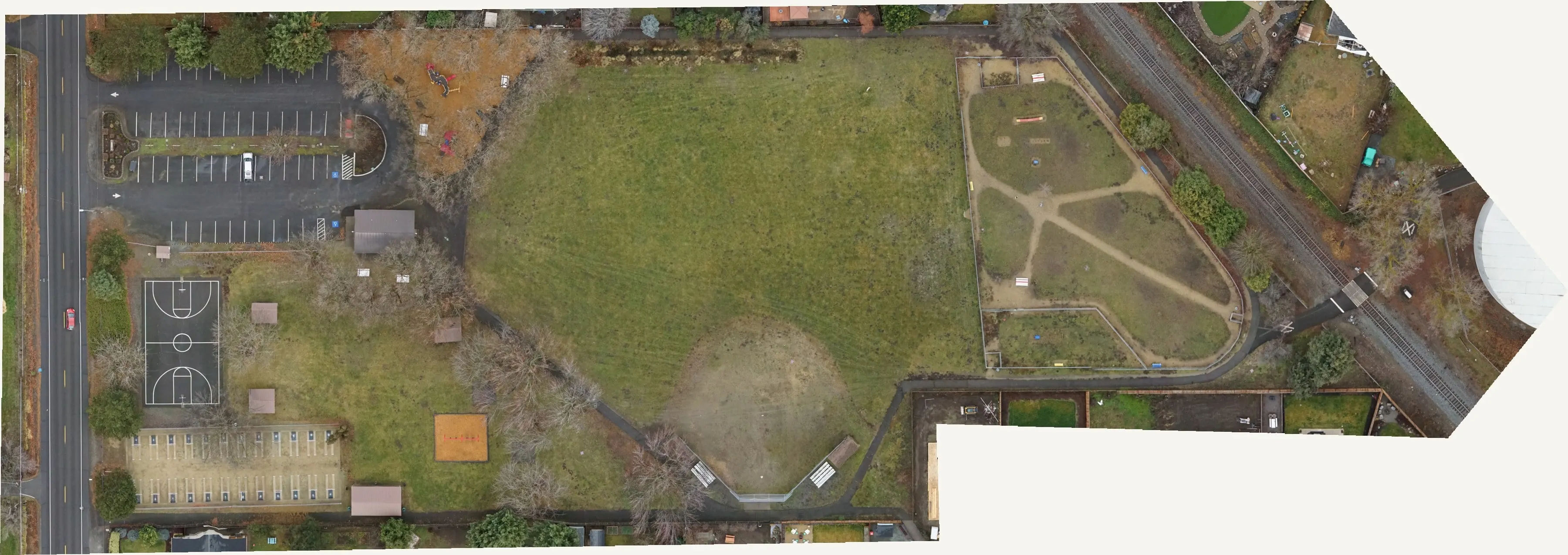
Winter orthomosaic of a city park with ball fields, a playground, a parking lot, and bare trees.
The December orthomosaic, flown leaf off.

Let's talk about your property.