

Alaska
Drone mapping in Alaska, on the road system and off it.
We flew Southeast Alaska in 2017, at two stream mouths near Klawock on Prince of Wales Island. Mine lands, salmon streams, timber, and remote camps get the same aircraft, sensors, and products as the rest of this site, planned as a trip.
Southeast Alaska, 2017
Two stream mouths, one tidal cycle
For a University of Alaska Anchorage anthropologist we flew a time lapse of a tidal cycle at two stream mouths near Klawock, with three aircraft rotating over two days. The imagery is in the Traditional Tlingit Fishing Technologies exhibit at the Sealaska Heritage Institute in Juneau.
What we fly in Alaska
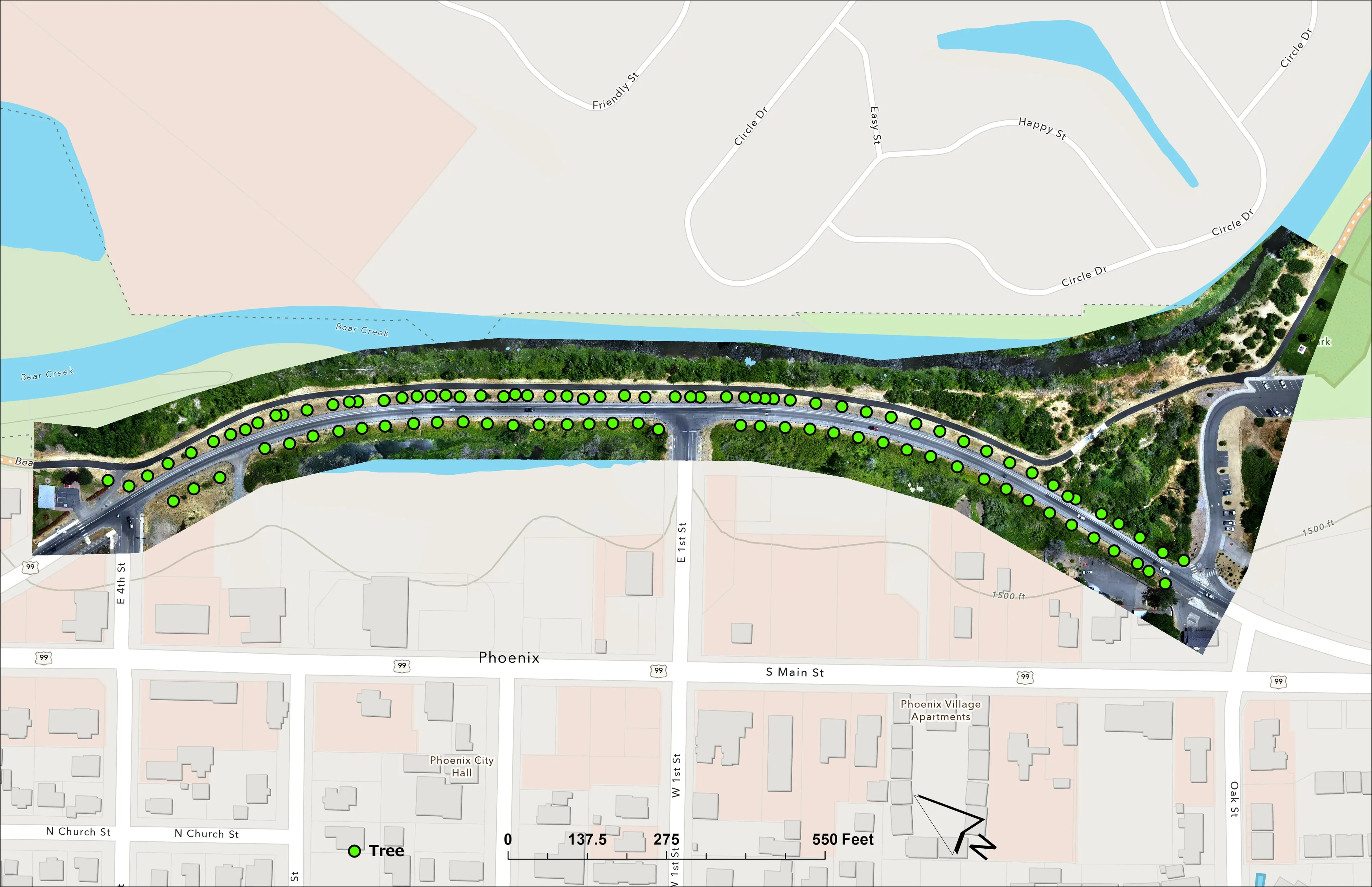
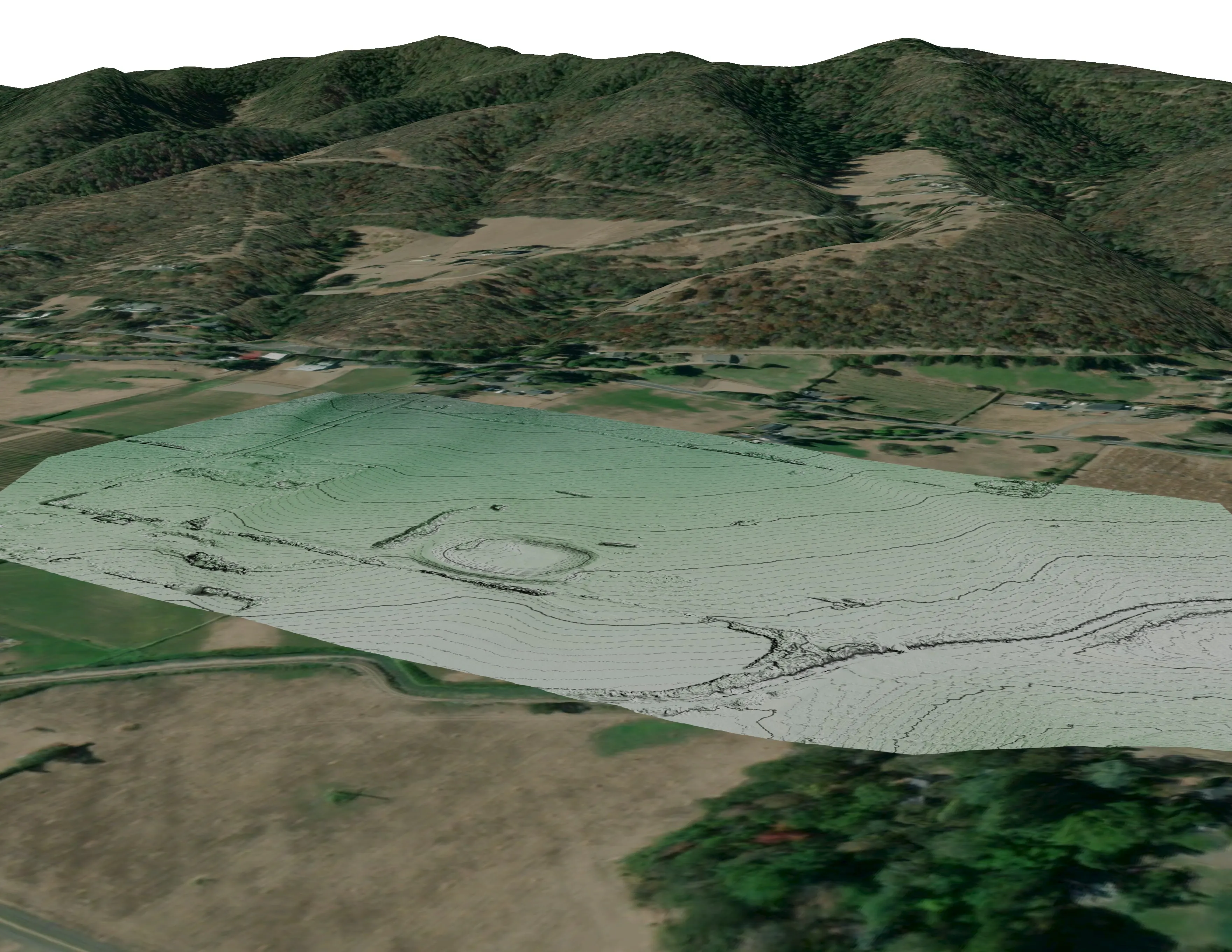
- Abandoned mine land mapping with drone LiDAR: classified point cloud, bare earth, surface, and canopy height models, with the vertical accuracy reported, as on the ten mine sites in the BLM Ukiah Field Office
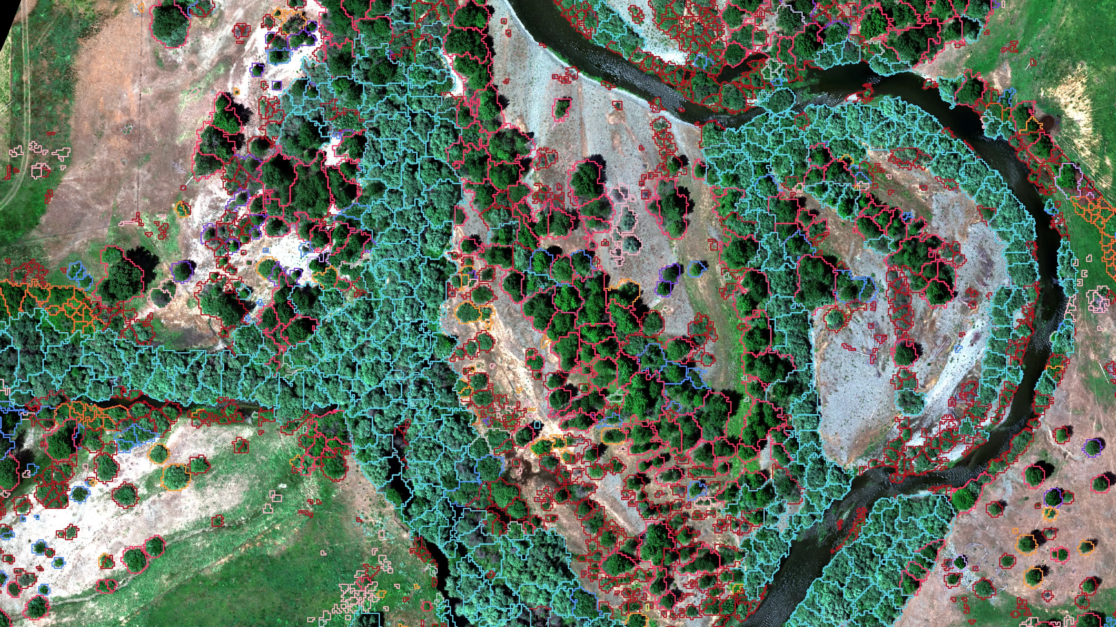
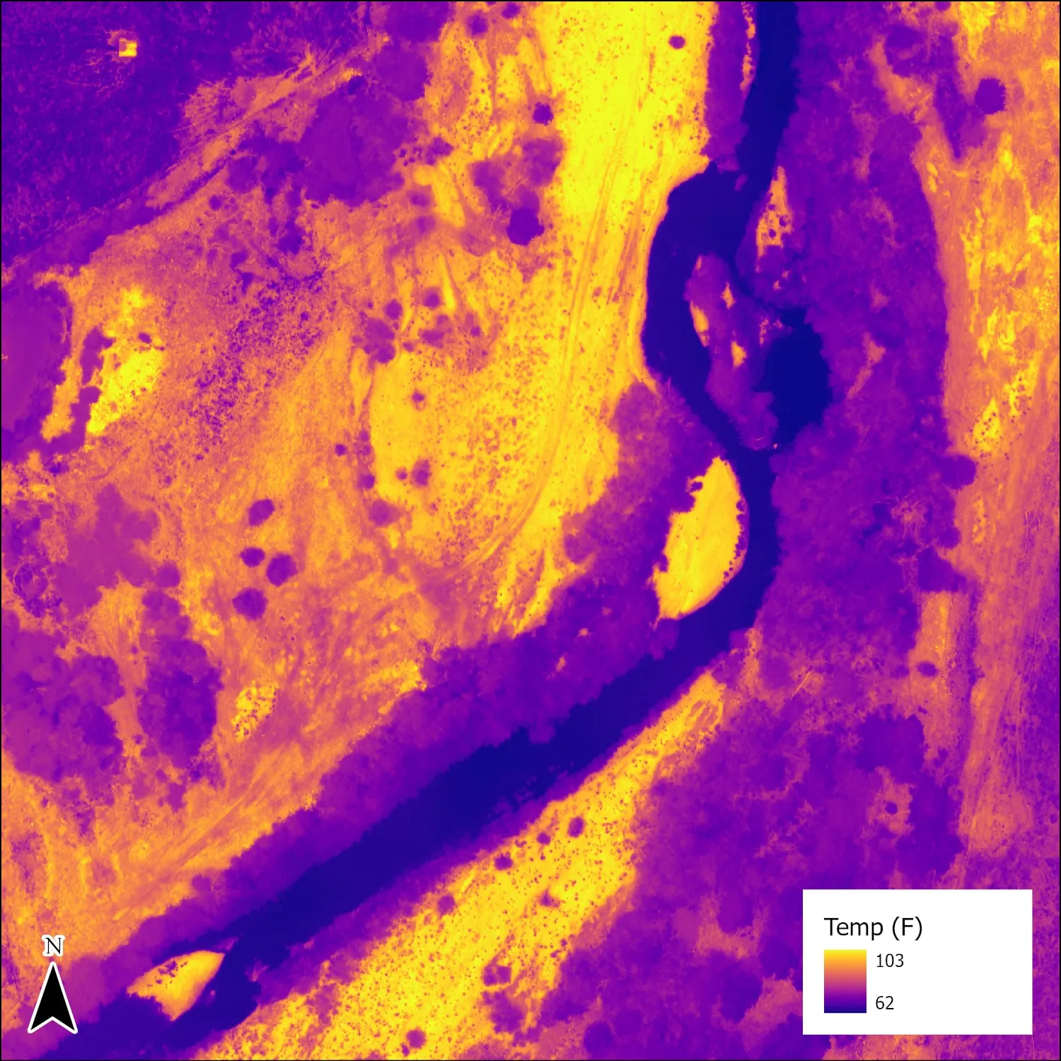
- Salmon stream and riparian mapping: channel, banks, riparian canopy by species, and thermal for cold water, the work we did on the Scott River in California
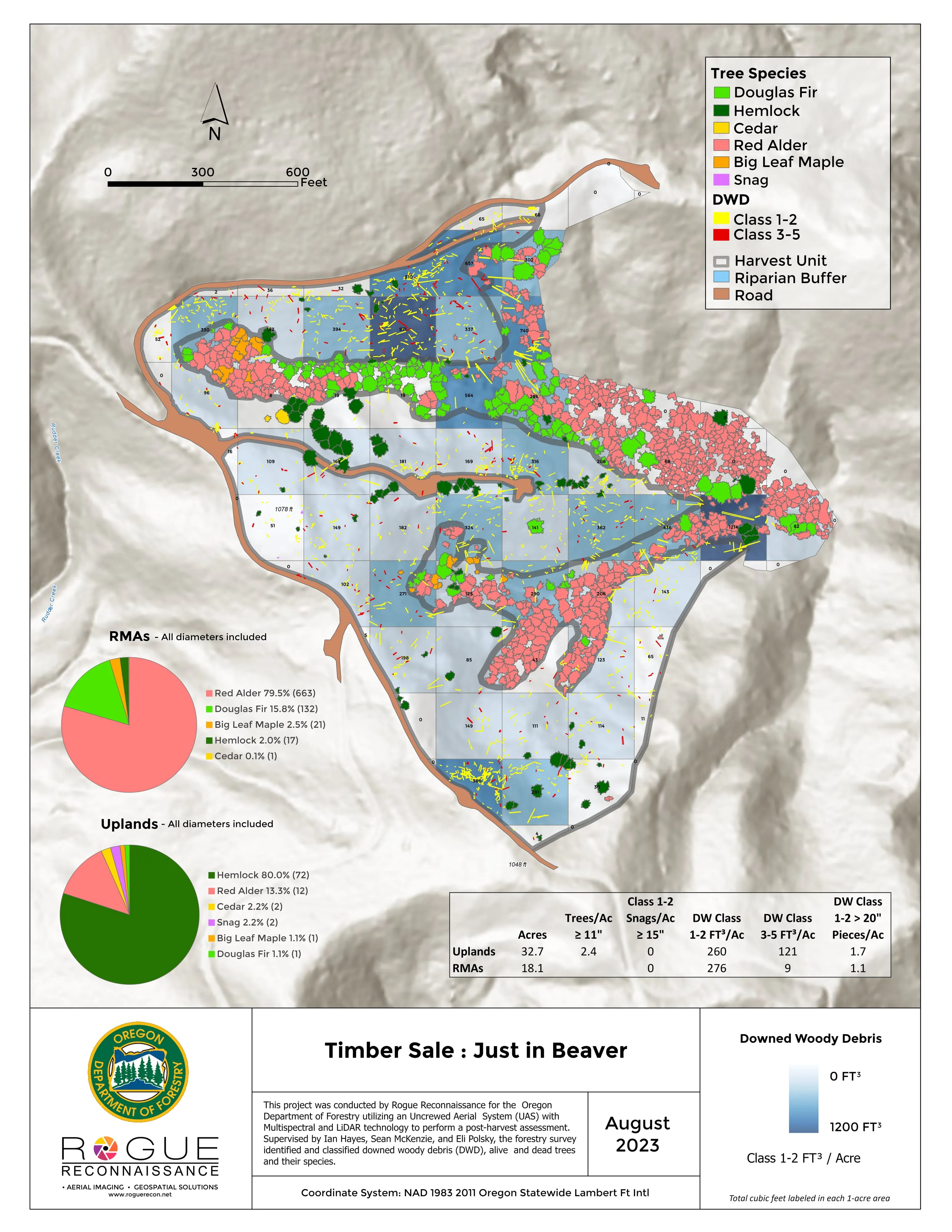
- Timber and forest health tree by tree, and post harvest assessment after a sale
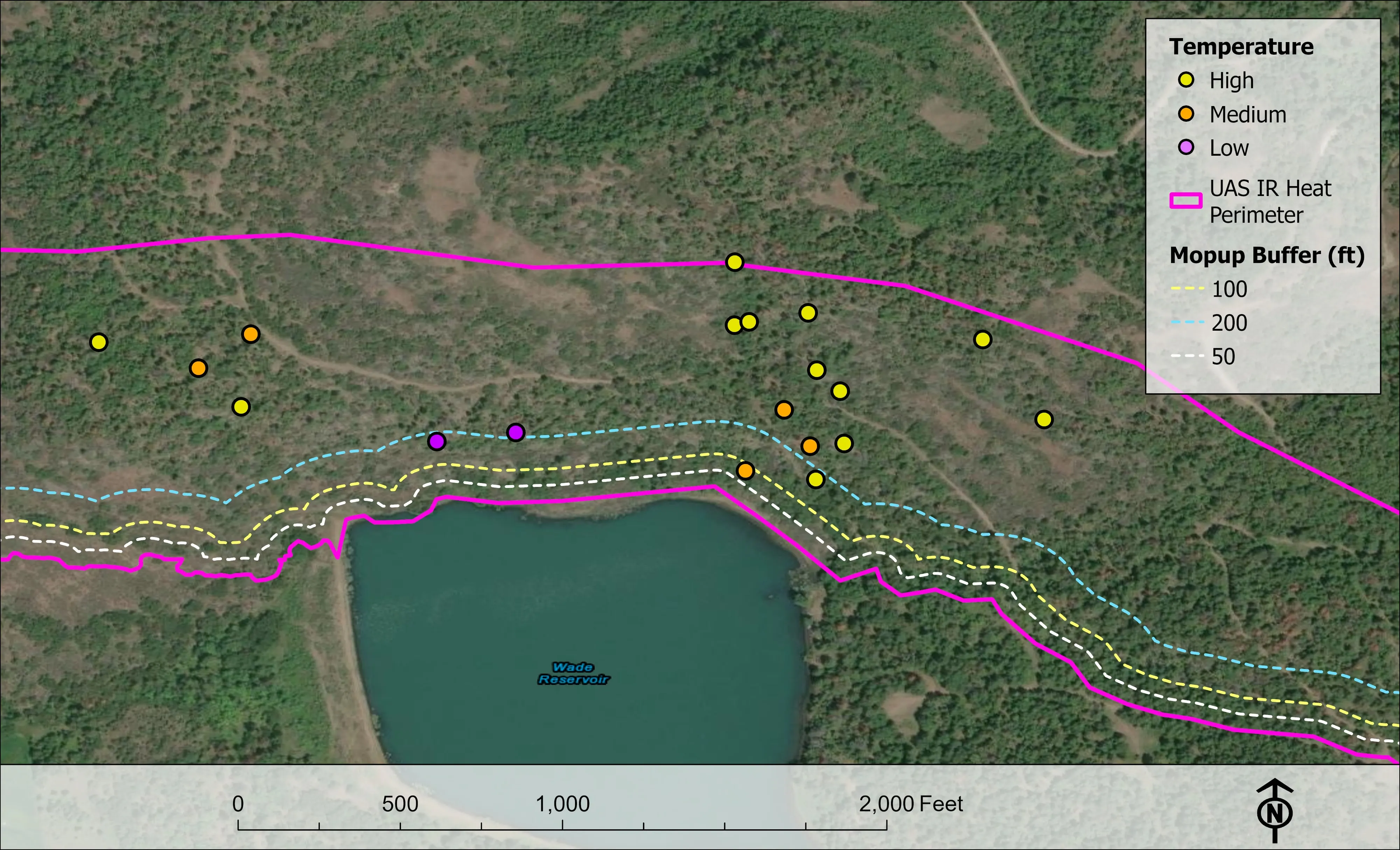
- Night infrared on wildland fire, in the schema the incident GISS already uses
- Ketchikan
- Klawock
- Juneau
- Sitka
- Anchorage
- Fairbanks
How an Alaska job works
One window, freight ahead, our own control
Most Alaska work is a trip with one good window, planned around snow and leaf out. In the interior, snow free ground runs from about mid May to late September, and the weeks before the leaves come out let the most LiDAR through the brush to the ground. Batteries above 160 watt hours cannot fly as baggage, so they ship ahead as dangerous goods cargo, and a site off the road system is reached by air or by water.
Where the CORS network is thin, our base station logs on site for hours and is processed with precise point positioning, so the products land in the coordinate system and datum the client names without control set on the ground. Every deliverable ships with its check points and residuals.
What we map
Four lanes, in Alaska
Let's talk about your Alaska project.
Tell us the ground, the access, and the season. We will answer with what we would fly, how we would get there, and when.
Email info@roguerecon.net or call 808 298 6290.