

Montana
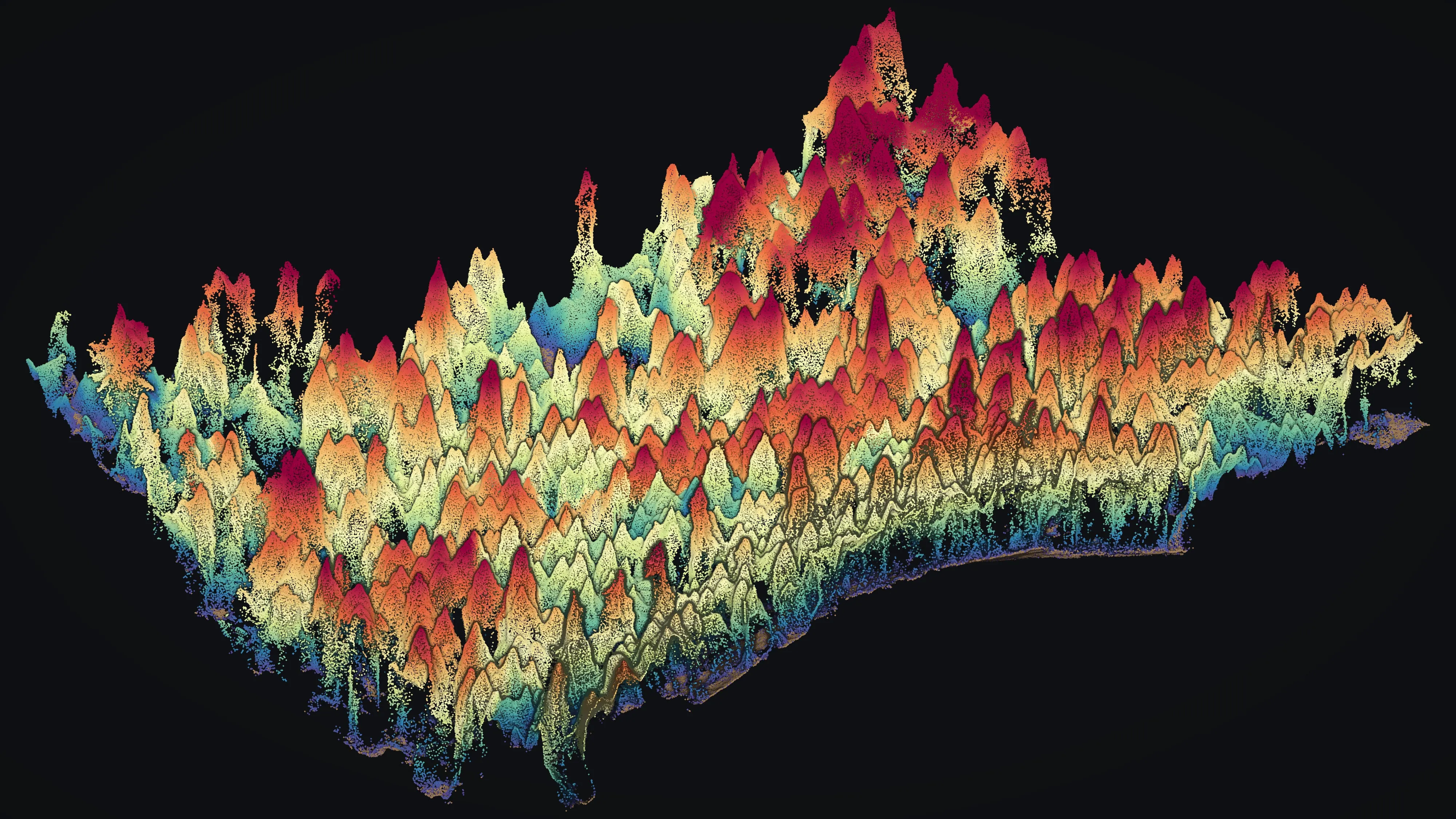
Drone LiDAR and fire mapping across Montana.
Timber west of the Divide, ranches and range east of it, old mining districts in between, and a fire season in all of it. We fly Montana in trips from Medford, with the aircraft, sensors, and products on the rest of this site.
What we fly in Montana
Timber, ranches, mine lands, and fire
A Montana stand, ranch, mine site, or fire gets the same flight and the same products as the Oregon work on this site. Drone LiDAR for the ground and the trees. Multispectral for what is alive and what is not. Thermal infrared at night for fire. Products come back in Montana State Plane, one zone for the whole state, in the formats the forester, the engineer, the rancher, or the incident already uses.
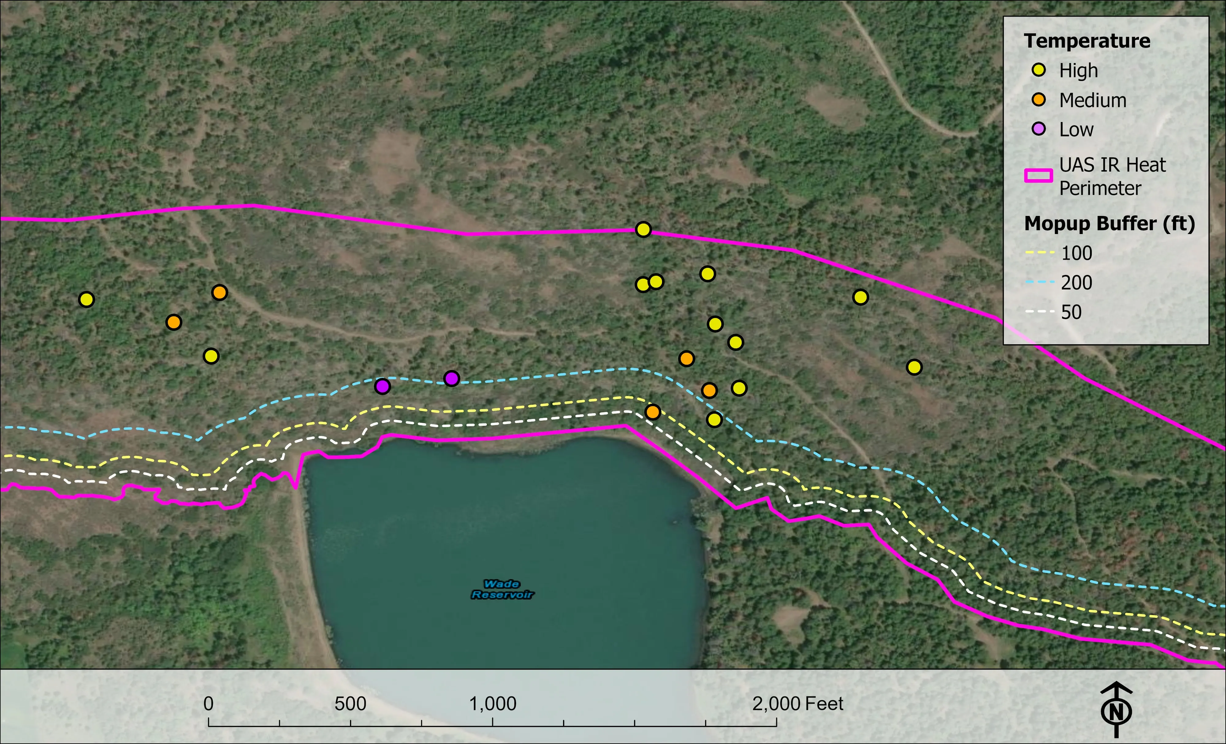
- Night infrared on wildland fire: the heat perimeter, intense and scattered heat, isolated heat sources, and mopup buffers, before the morning briefing
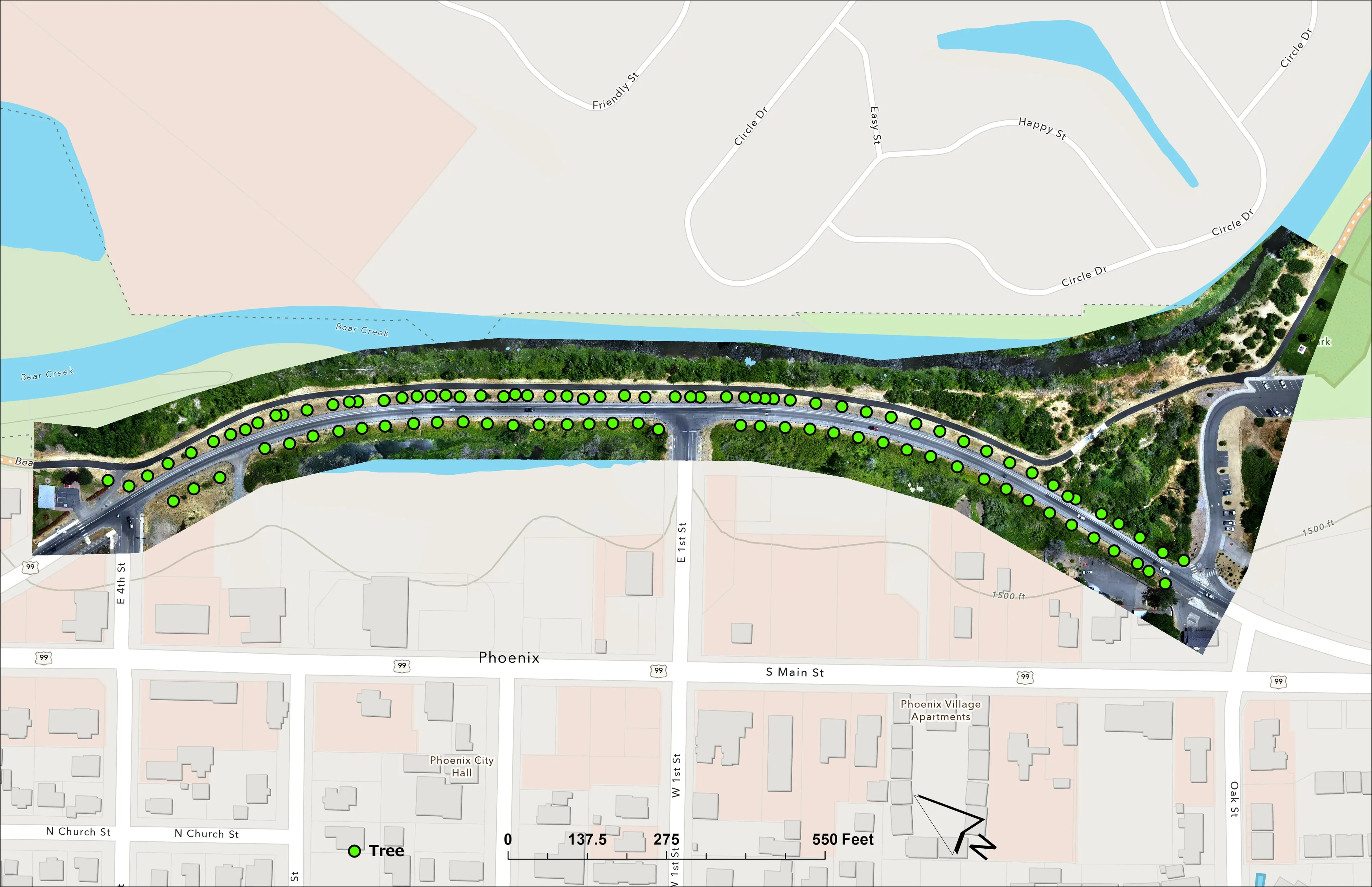
- Forest health tree by tree, the way we classed about 30,000 Douglas fir crowns for the City of Ashland
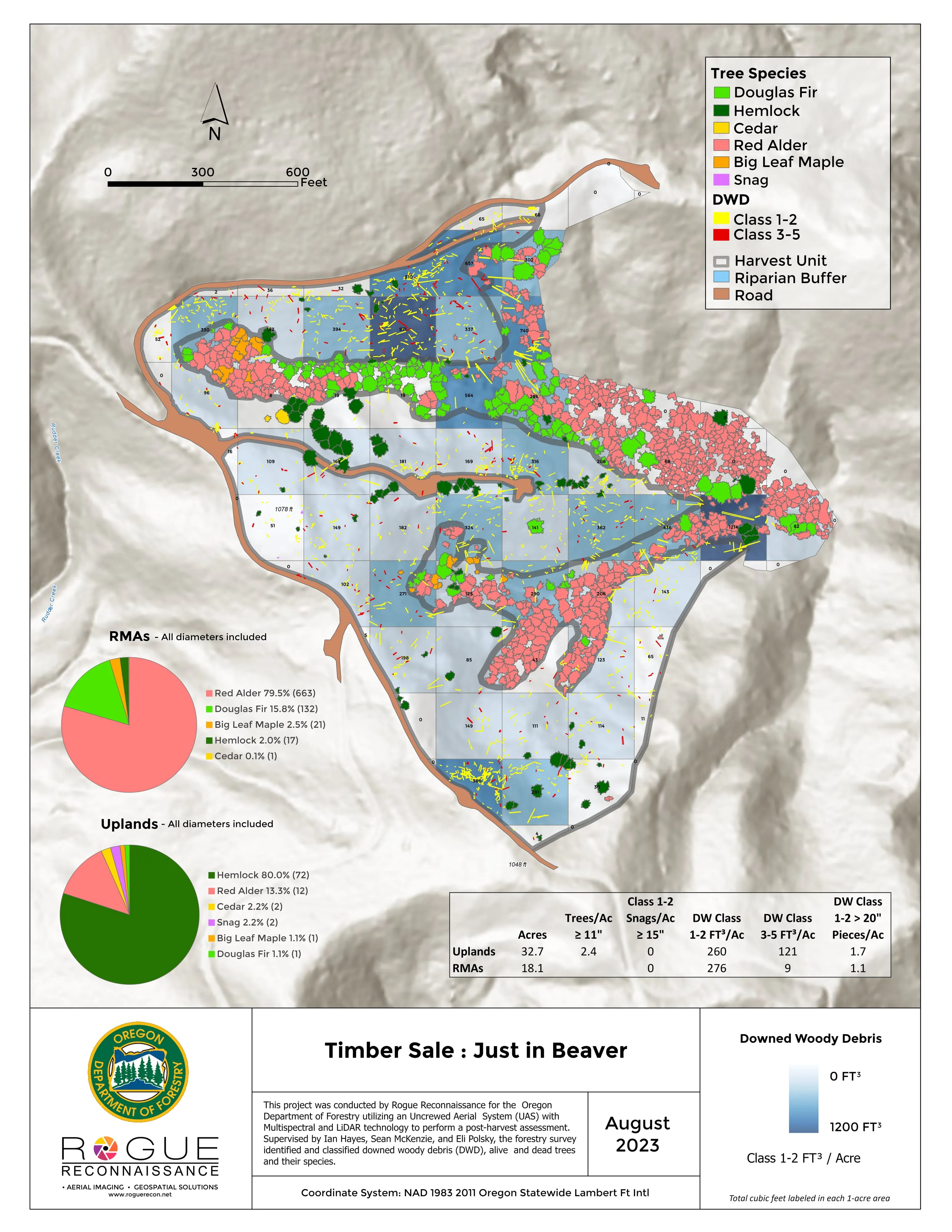
- Post harvest assessment, every log measured and classed by decay
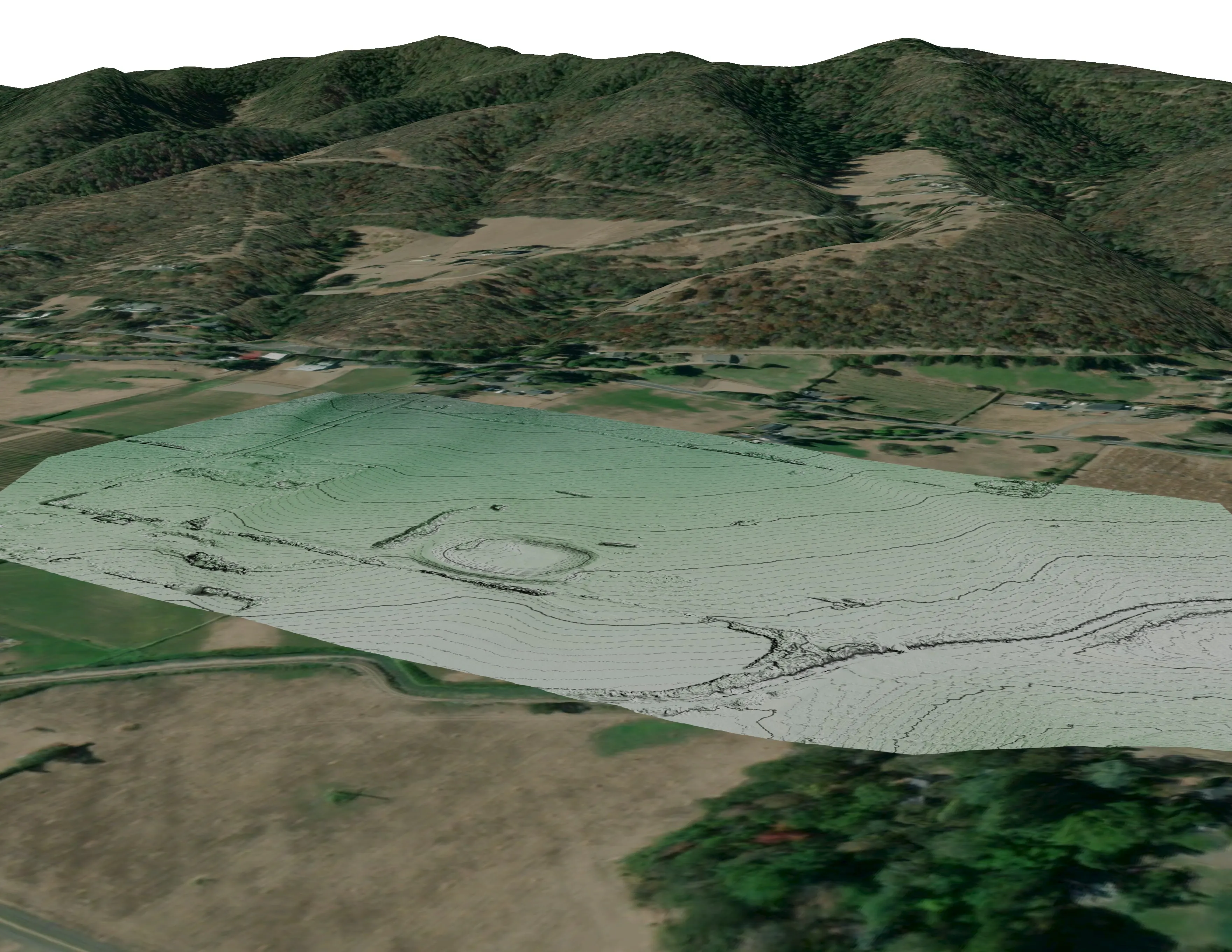
- Ranch and farm planning maps: drainage, flow paths, slope, and stock water on a current orthomosaic
- Bare earth and canopy height for mine land and reclamation work
- Missoula
- Kalispell
- Whitefish
- Helena
- Butte
- Bozeman
- Great Falls
- Billings
Wildland fire
Infrared after dark, maps before the briefing
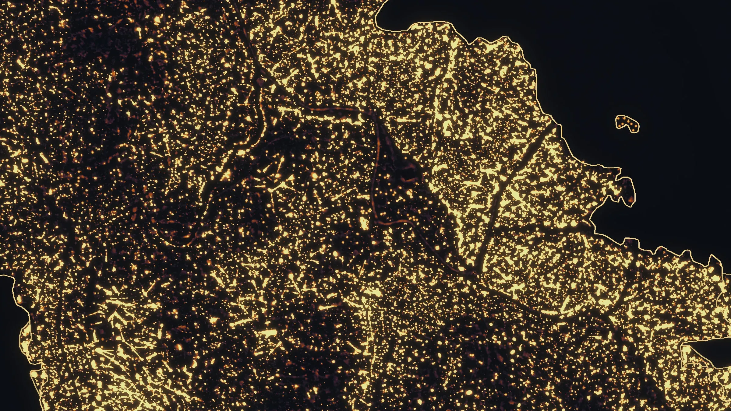
We fly infrared once the incident's aircraft are down for the night, and the heat is on the GISS's screen before the day shift walks in. On Woodrat Mountain in August 2026 that was three nights across two weeks: a perimeter the first night as initial attack, a mopup map eight days later, and a last check that found no isolated heat left.
The operator is a red carded wildland firefighter, FFT1, GISS, and UASD, a US Forest Service Administratively Determined resource, and an Oregon Department of Forestry Call When Needed resource since 2019. A Montana DNRC unit, a county, a tribe, or a contractor can call on the same resource.
Where the work is
Montana, region by region
Missoula, Kalispell, and the northwest
Larch, Douglas fir, and lodgepole pine on state, industrial, and family forest, with towns built into the timber. Forest health tree by tree, post harvest assessment, and fuels data for the wildland urban interface around Missoula, the Flathead, and Whitefish.
Helena and Butte
Old mining districts and the headwaters below them. Bare earth and canopy height for mine land and reclamation work, and fuels data for the timbered hills above town.
Bozeman and the southwest valleys
Towns growing onto ranch ground. Site terrain and canopy for builders and engineers, drainage and flow paths for the valley floors, and fuels for the subdivisions that reach into the timber.
Great Falls, Billings, and the plains
Wheat, hay, and cattle country. Ranch and farm planning maps with drainage, slope, and stock water on a current orthomosaic, and night infrared when the grass carries fire.
What we map
Four lanes, in Montana
Let's talk about your Montana project.
Tell us the ground, the county, and the season. We will answer with what we would fly, what comes back, and when.
Email info@roguerecon.net or call 808 298 6290.