

Nevada
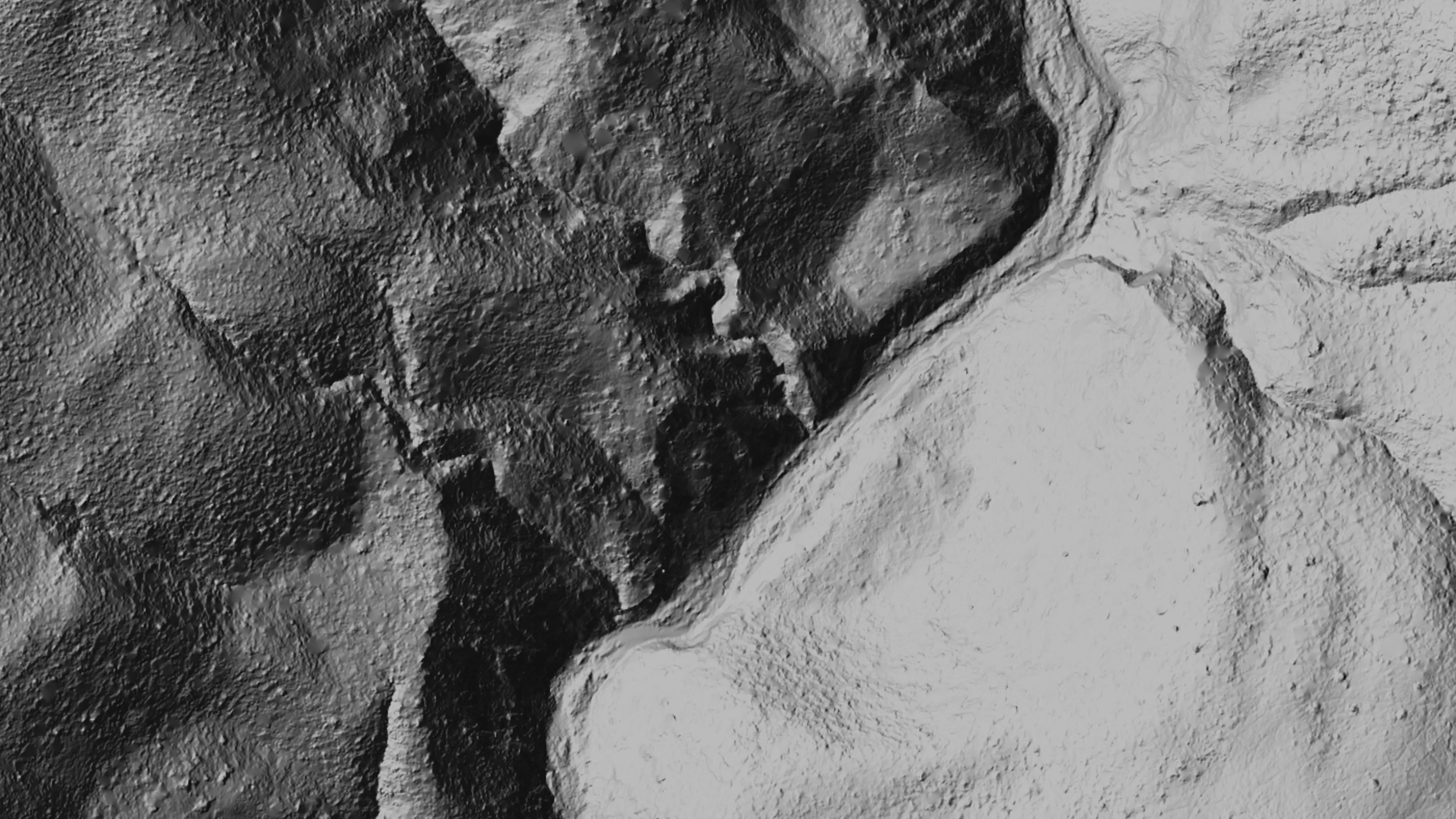
Drone LiDAR across Nevada's mine lands and range.
Old mine workings, sagebrush range, pinyon and juniper, and the fire that runs through all of it. We fly Nevada in trips from Medford, with the aircraft, sensors, and products on the rest of this site.
What we fly in Nevada
Mine lands, range, fuels, and fire
Most of Nevada is public land, and much of the mapping it needs is the ground itself: where the old workings are, what the slopes do around them, and what grows over them. Drone LiDAR reads the bare earth through brush and juniper. Multispectral sorts live cover from dead. Thermal infrared works at night on fire. Products come back in the Nevada State Plane zone the ground sits in, or UTM, in the formats the agency, the engineer, or the incident already uses.
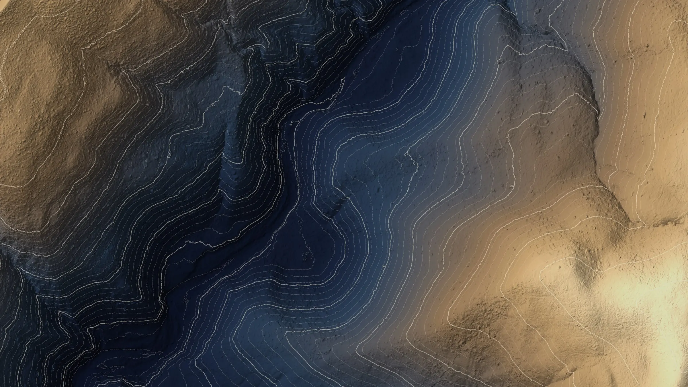
- Abandoned mine land mapping: classified point cloud, bare earth, surface, and canopy height models, with the vertical accuracy checked and reported
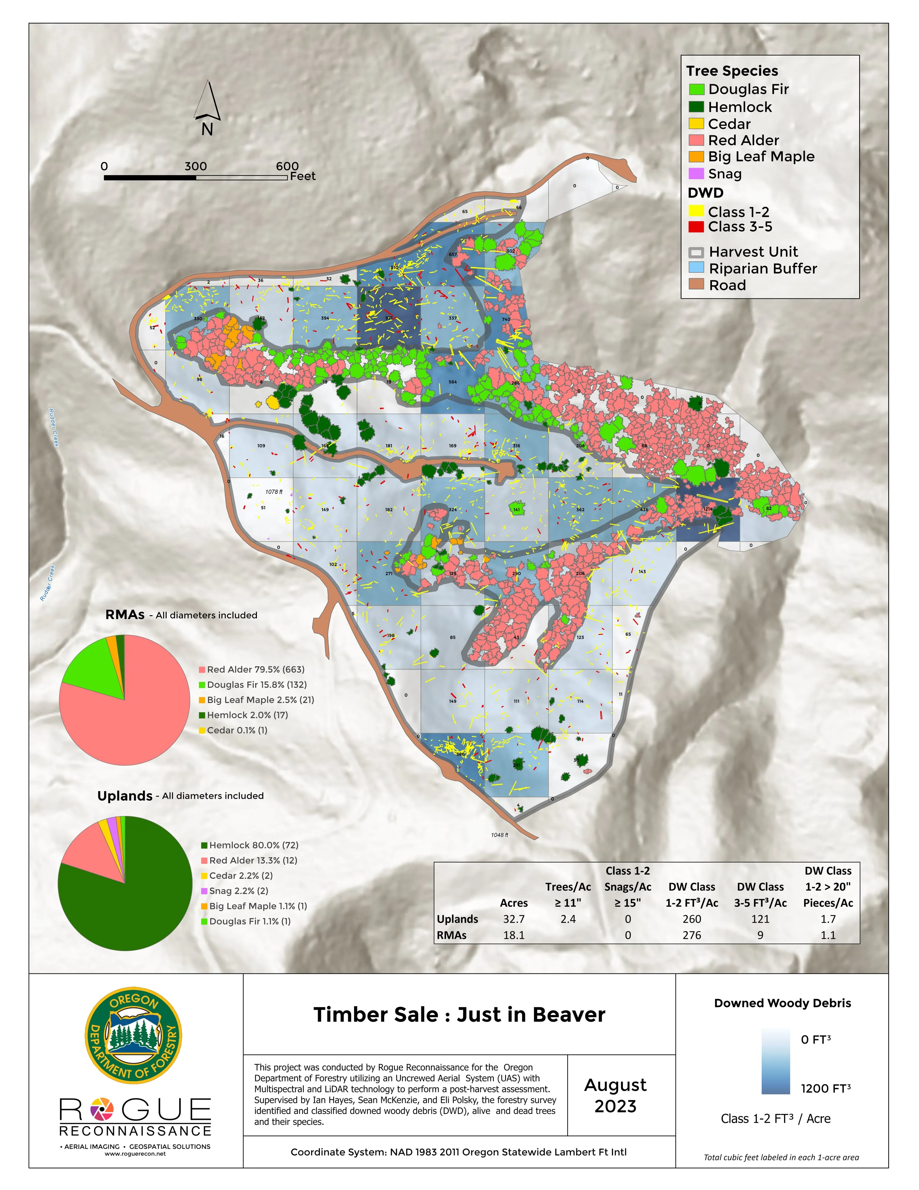
- Range and juniper fuels: canopy height and cover from LiDAR for fuel breaks, treatments, and county wildfire plans
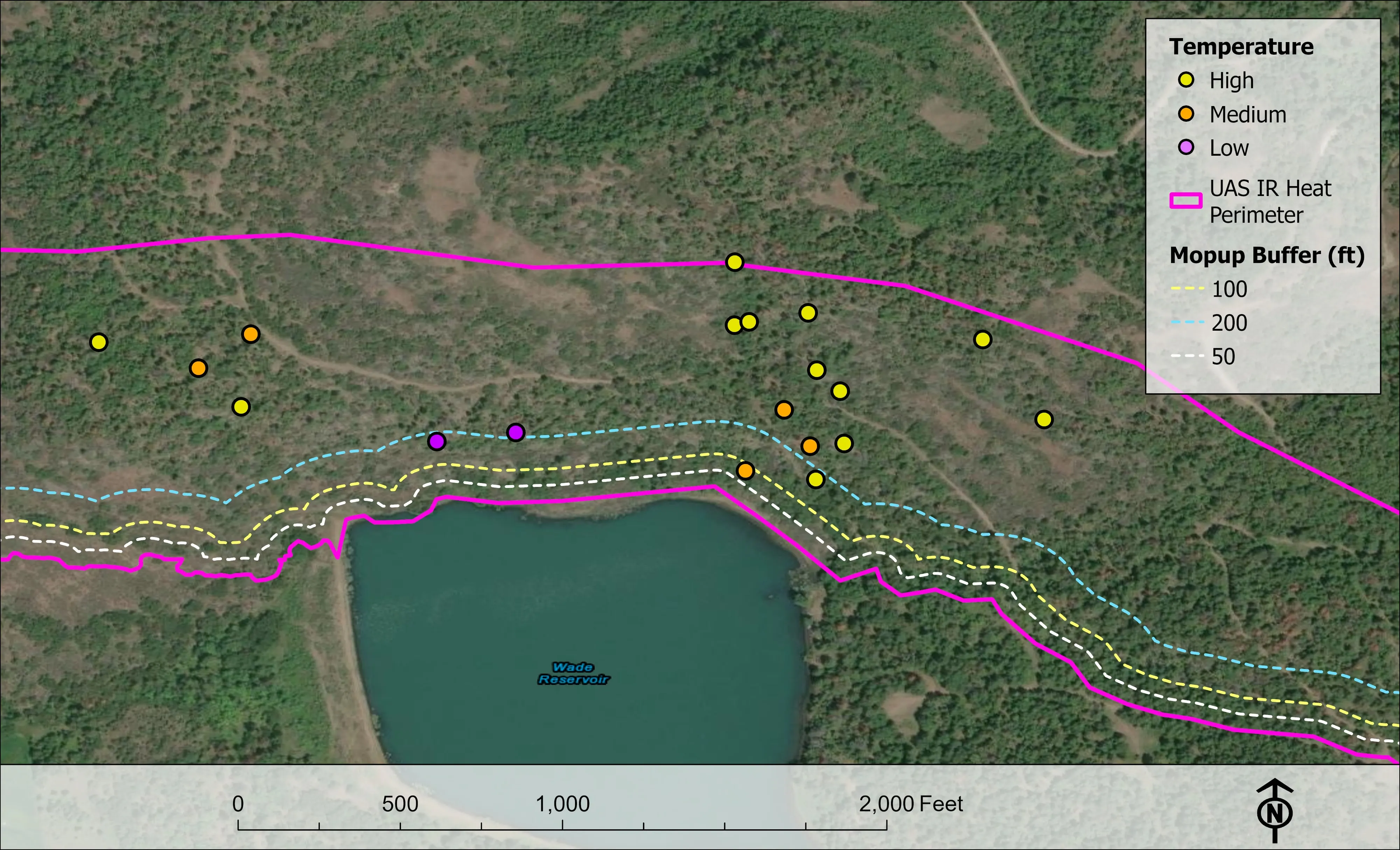
- Night infrared on wildland fire, in the schema the incident GISS already uses
- Habitat work under brush, the way the Ukiah Field Office mine sites were mapped for bat habitat
- Site terrain and canopy for engineers and builders around Reno, Carson City, and Las Vegas
- Reno
- Carson City
- Elko
- Winnemucca
- Ely
- Tonopah
- Las Vegas
- Pahrump
Abandoned mine lands
Ten mine sites under the brush
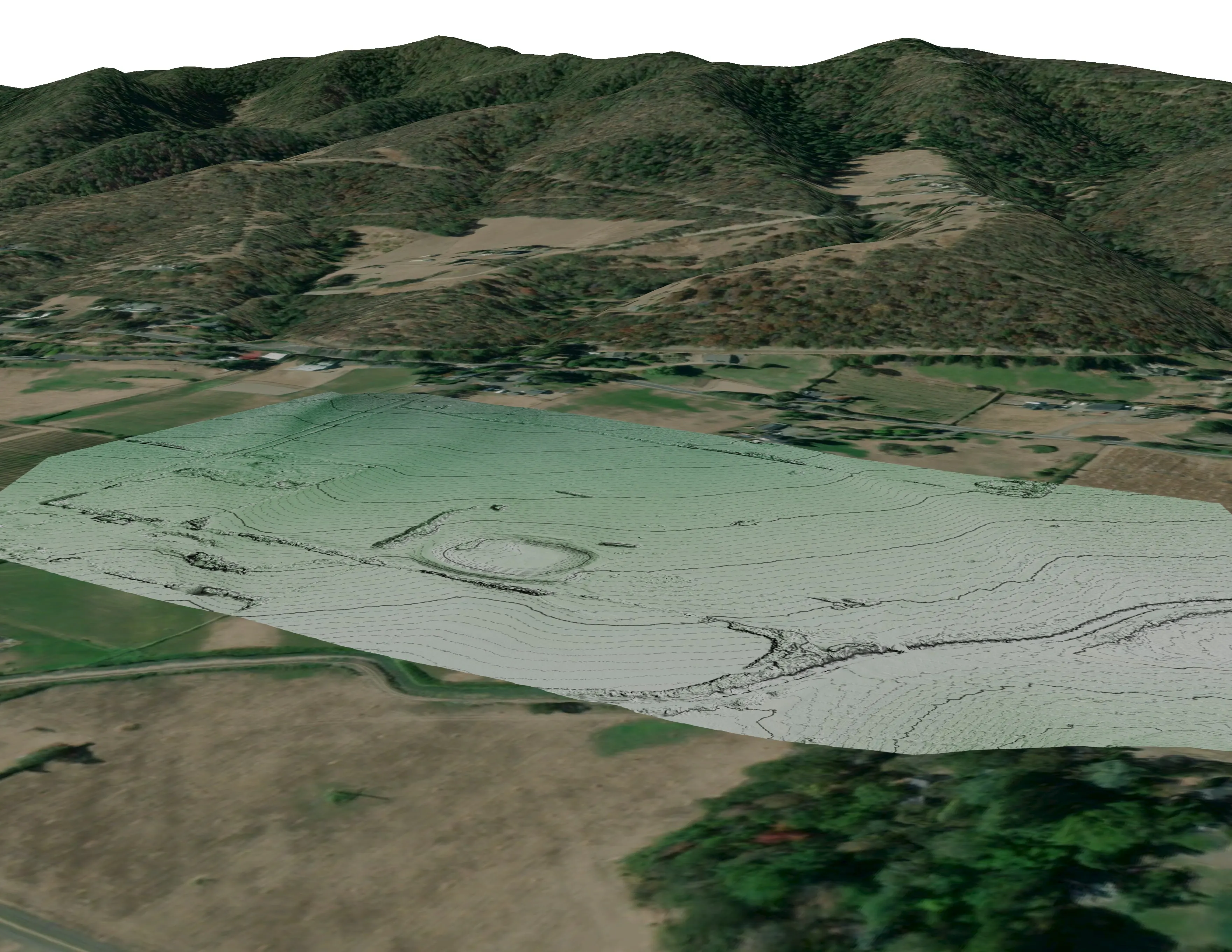
In September 2025 we flew ten abandoned mine site areas on Bureau of Land Management land in the Ukiah Field Office, northern California, for Bat Conservation International: 779.4 acres of steep chaparral. Every site came back as a classified point cloud, a 0.25 m bare earth model, a surface model, and a canopy height model. Against 242 check points on the public LiDAR the vertical RMSE was 0.320 m, with the overall and per site numbers in the report.
Nevada's mine lands are drier and more open than that chaparral, so more of the ground shows between the plants. The same products answer the same questions: where the openings are, what the ground does around them, and what grows over them.
Where the work is
Nevada, region by region
Reno, Carson City, and the Sierra front
Pinyon, juniper, and pine running down to the subdivisions on the Carson Range and the Virginia Range. Fuels and structure exposure data for wildfire plans, and site terrain for builders and engineers on the hillsides.
Elko, Winnemucca, and the Humboldt
Sagebrush range, the Humboldt River, and mining country along it, old and working. Bare earth over old workings, range fuels data, and riparian mapping on the creeks and meadows that feed the river.
Ely, Tonopah, and central Nevada
Long basins, old mining districts, and pinyon and juniper on the ranges between them. Mine land mapping where the old districts sit, and canopy height and cover for juniper treatment and fuel breaks.
Las Vegas, Pahrump, and the Mojave
Desert site terrain for builders and engineers, and mine land and habitat work in the desert ranges. Summer heat cuts flight hours short, so desert work is planned for spring, fall, and first light.
What we map
Four lanes, in Nevada
Let's talk about your Nevada project.
Tell us the ground, the county, and the season. We will answer with what we would fly, what comes back, and when.
Email info@roguerecon.net or call 808 298 6290.