
The problem
A new fire on Woodrat Mountain that needed a perimeter fast for night operations, a map of the whole fire with its interior by the morning briefing, and later looks to see what heat was left.
What we flew
- Night infrared with the Matrice 300 RTK and the Zenmuse H20T on the nights of 6, 14 and 19 August 2026
- The first night from a high point on Woodrat Mountain Road, with a clear line of sight across the fire
- The last night lower over the fire for more detail, on loan from the Fielder Mountain assignment
What we delivered
- A rapid perimeter first, delivered as it processed, then the whole fire with its interior for the night and the morning briefing
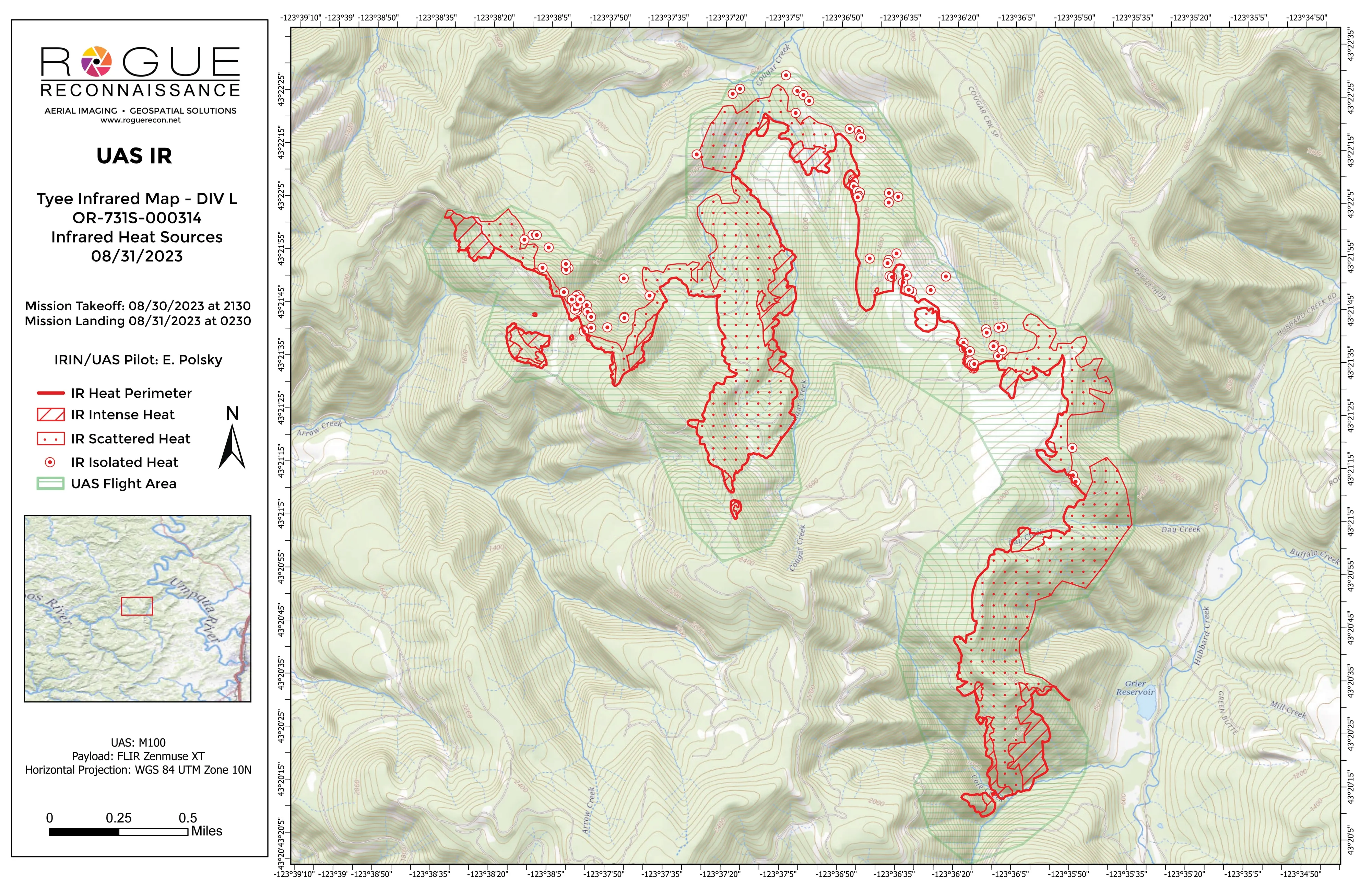
- Spot fires, intense and scattered heat, and isolated heat sources classed by intensity, with possible heat marked as its own class
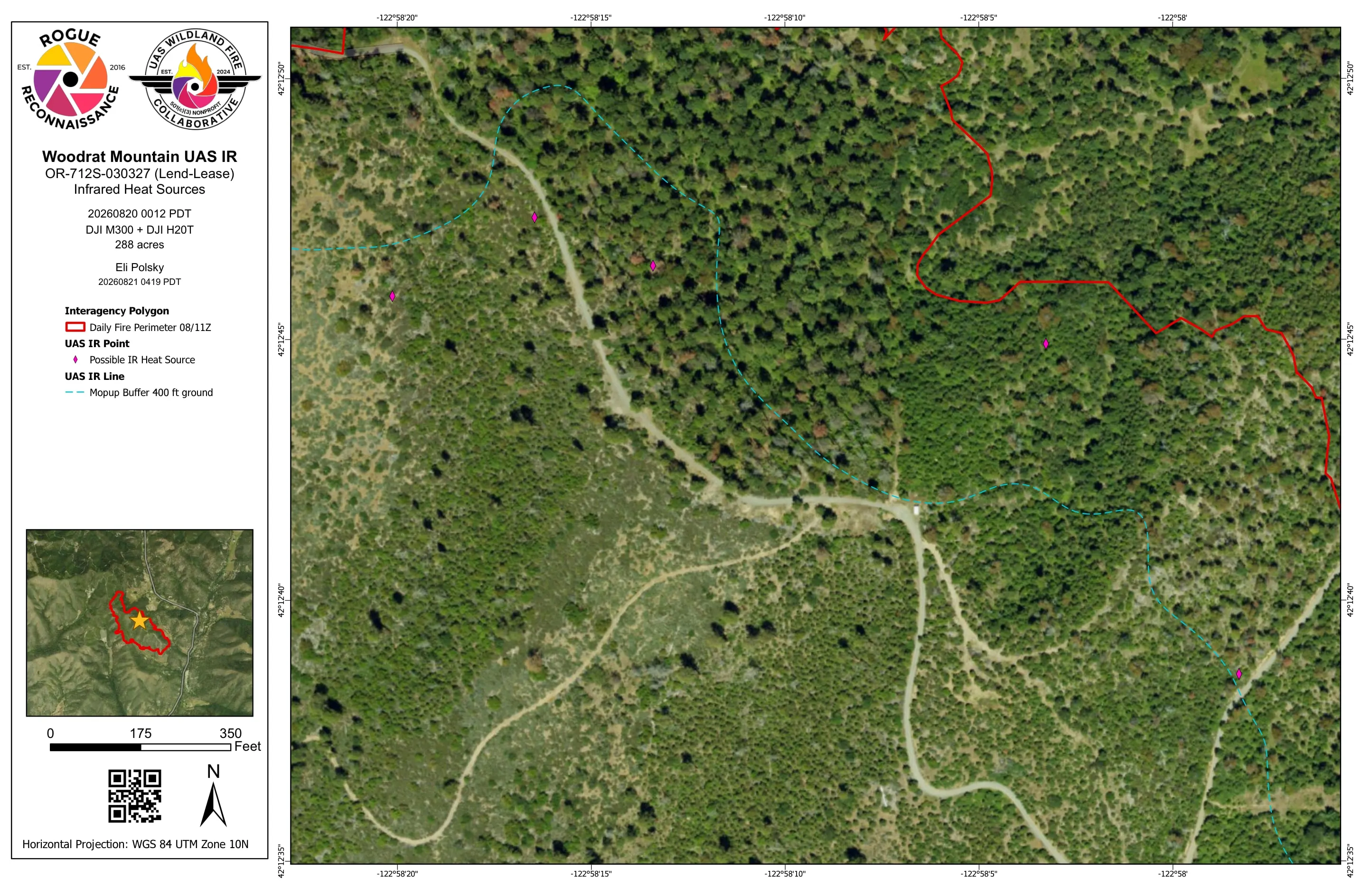
- Mopup buffers at 300 feet in mid August and 400 feet on the last night
- Templated 11 by 17 sheets in aerial and topo pairs, KMZ, shapefiles, and the orthorectified infrared GeoTIFF
A perimeter first
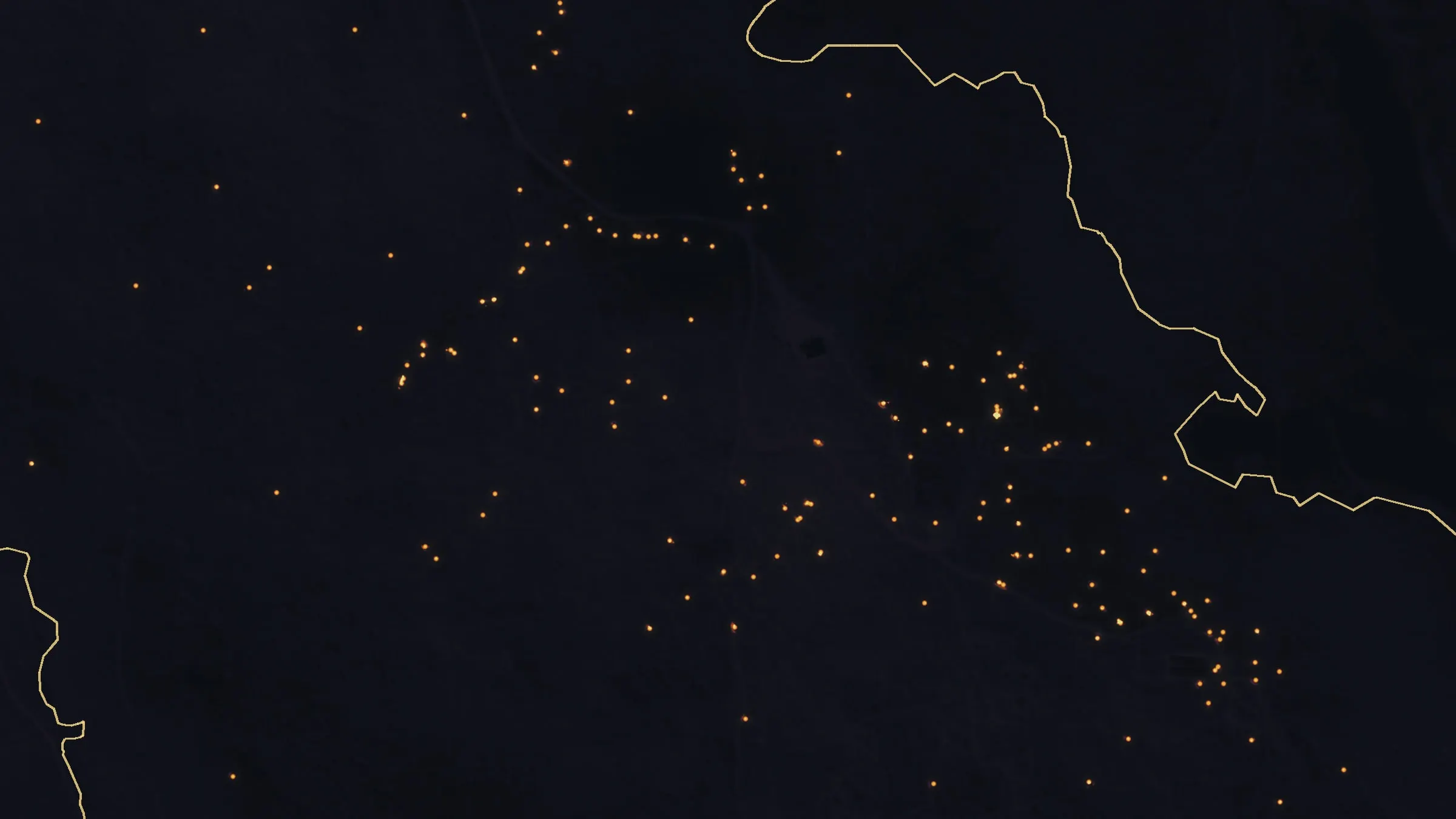
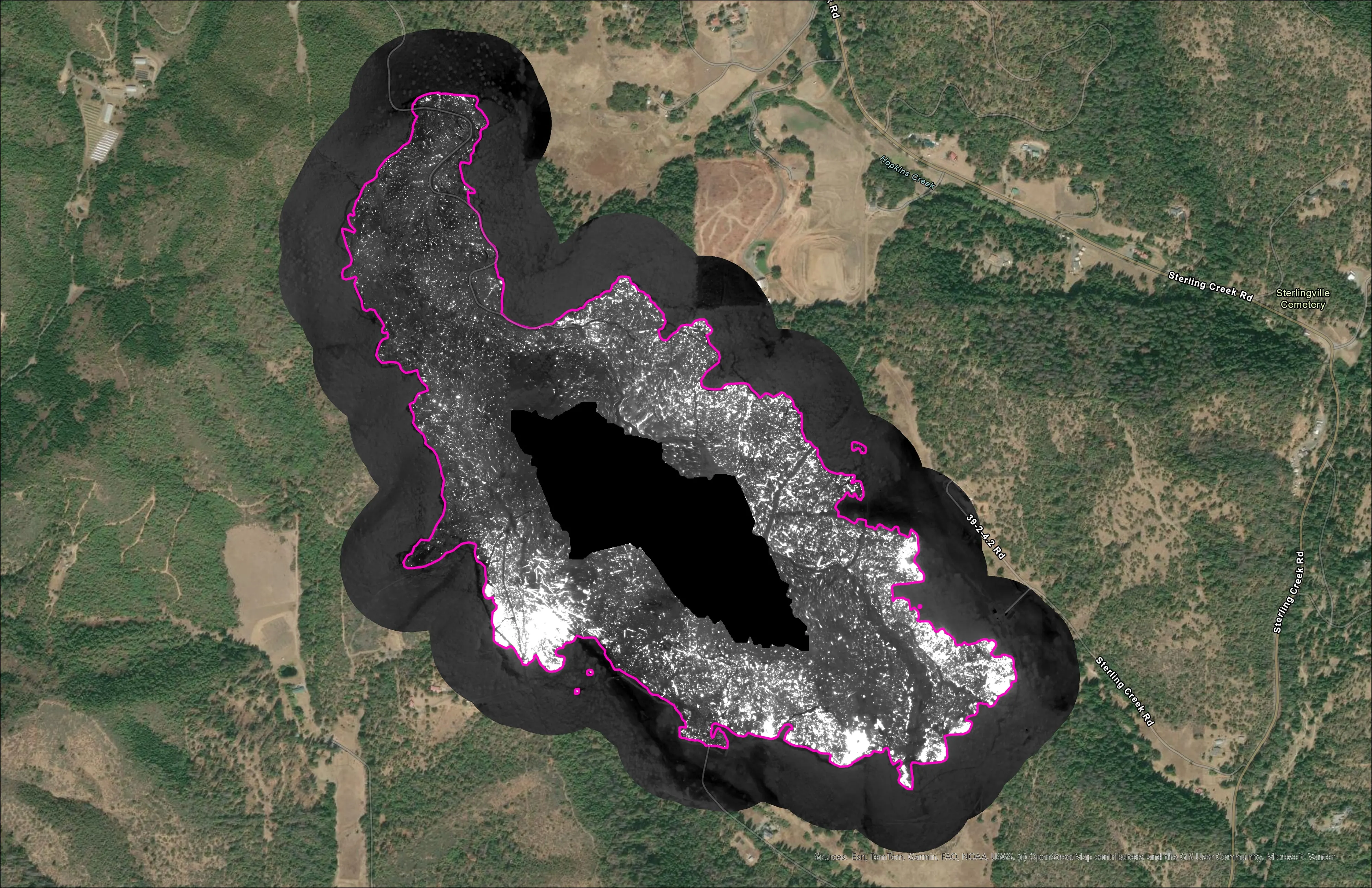
The first night was initial attack. From a high point on Woodrat Mountain Road, with a clear line of sight across the fire, the first flight mapped the perimeter and eleven spot fires, and the perimeter went to the incident as it processed. A second flight before dawn mapped the whole fire with its interior for the morning briefing: 399 isolated heat sources and five patches of intense heat.
Coming back
Eight days later the fire was 283 acres and the map was a mopup map: 203 isolated heat sources, 60 signatures marked possible heat, and a 300 foot buffer. On the night of 19 August, on loan from the Fielder Mountain assignment, we flew lower for detail and found almost nothing. No isolated heat, five possible signatures, and a 400 foot buffer drawn for the crews.