

Oklahoma
Drone LiDAR and fire mapping across Oklahoma.
Cross timbers and prairie, a fire season driven by wind, cooperatives with lines across every county, and tribal nations that manage land at the scale of states. The same aircraft, sensors and products we fly in Oregon, flown in trips across Oklahoma.
What we fly in Oklahoma
The fire, the line, the stand and the field
An Oklahoma job gets the same flight and the same products as the Oregon work on this site. Drone LiDAR for the ground, the trees and the wires. Multispectral for what is alive and what is not. Thermal for water and for fire. A current orthomosaic to draw on. Products come back in Oklahoma State Plane or UTM, NAVD88, in the formats the cooperative, the county, the forester or the incident already uses. We fly in with the aircraft as checked freight and work the state in trips of a week or two.
- Night infrared perimeter and heat products on grass, brush and timber fires, in the schema every incident GISS already uses
- Fuels, canopy and structure exposure data for county and city wildfire plans in the cross timbers interface
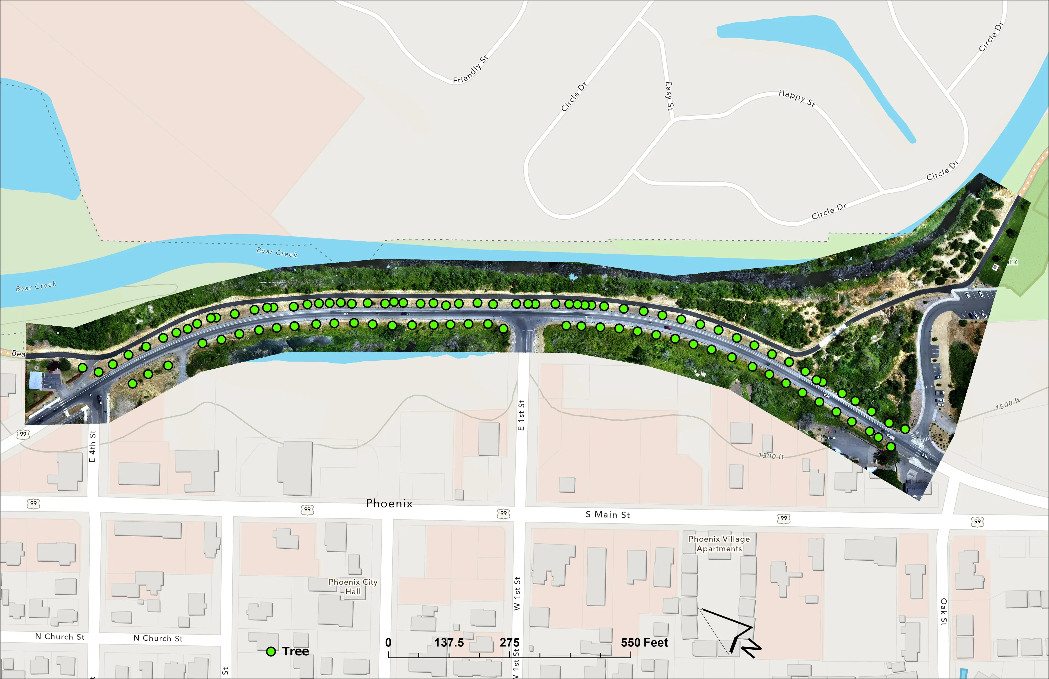
- Corridor LiDAR for the electric cooperatives: clearance, encroachment, danger trees, pole and span records
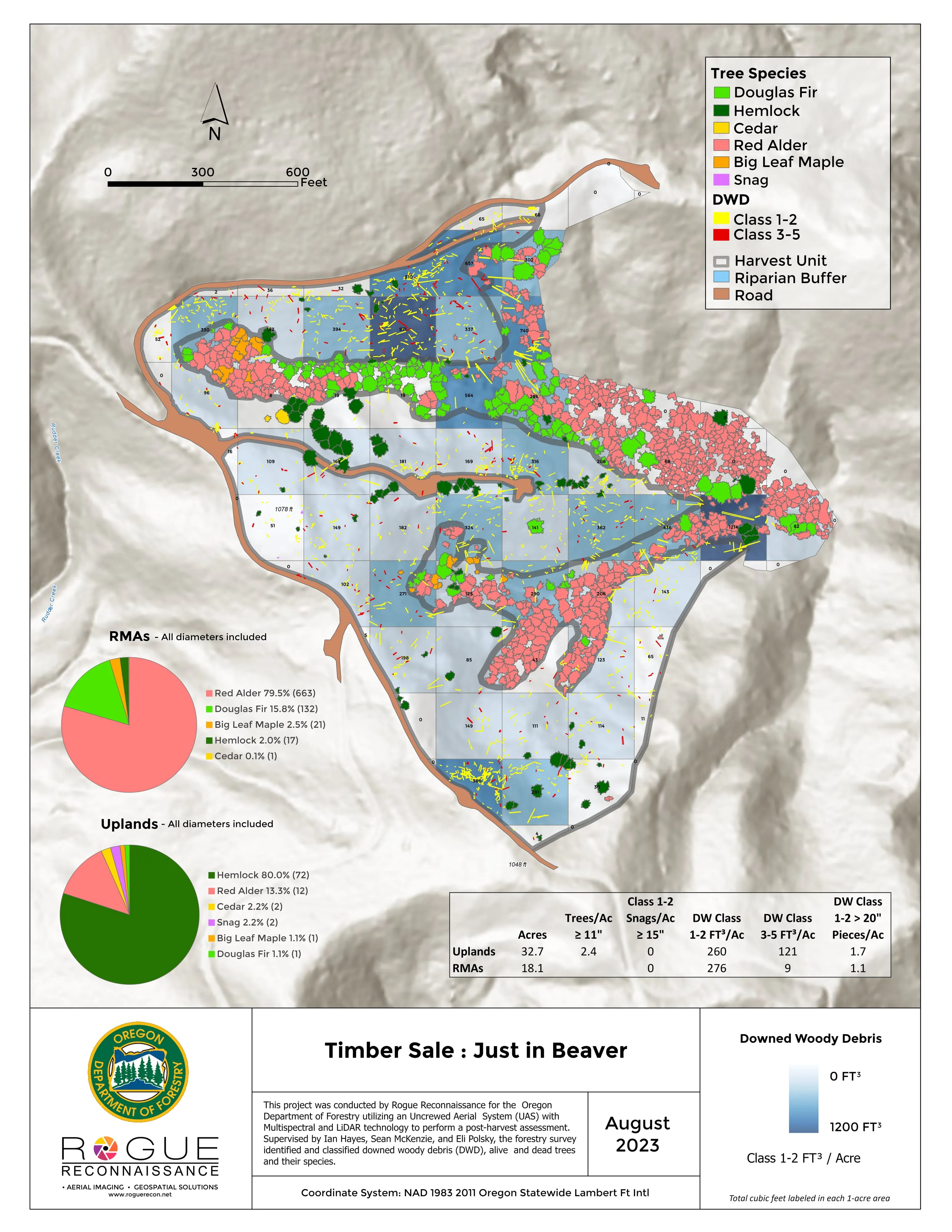
- Forest health tree by tree and post harvest assessment in the Ouachita pine
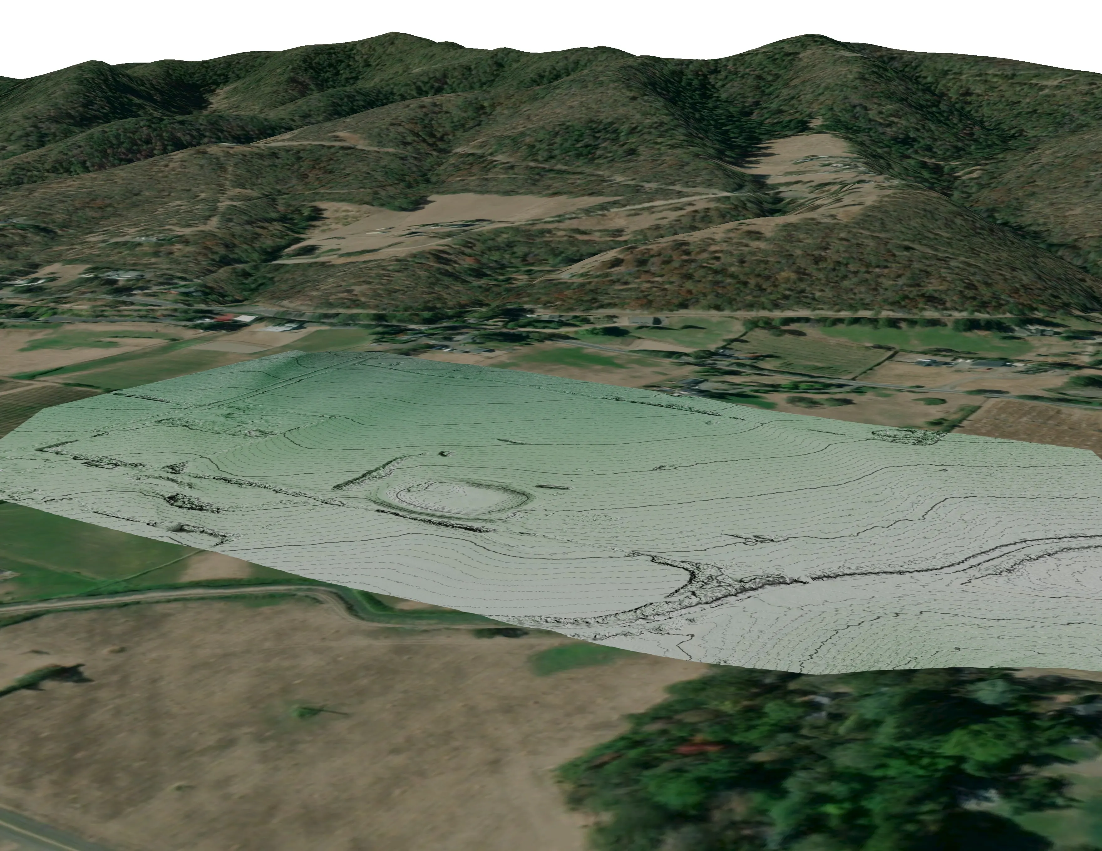
- Farm planning maps: drainage, slope and aspect, terraces, pond sites and plan overlays on a current orthomosaic
- Design ready terrain and canopy data for the cities growing onto the hills and the river bottoms
Wildland fire
Wind driven fire, mapped the same night
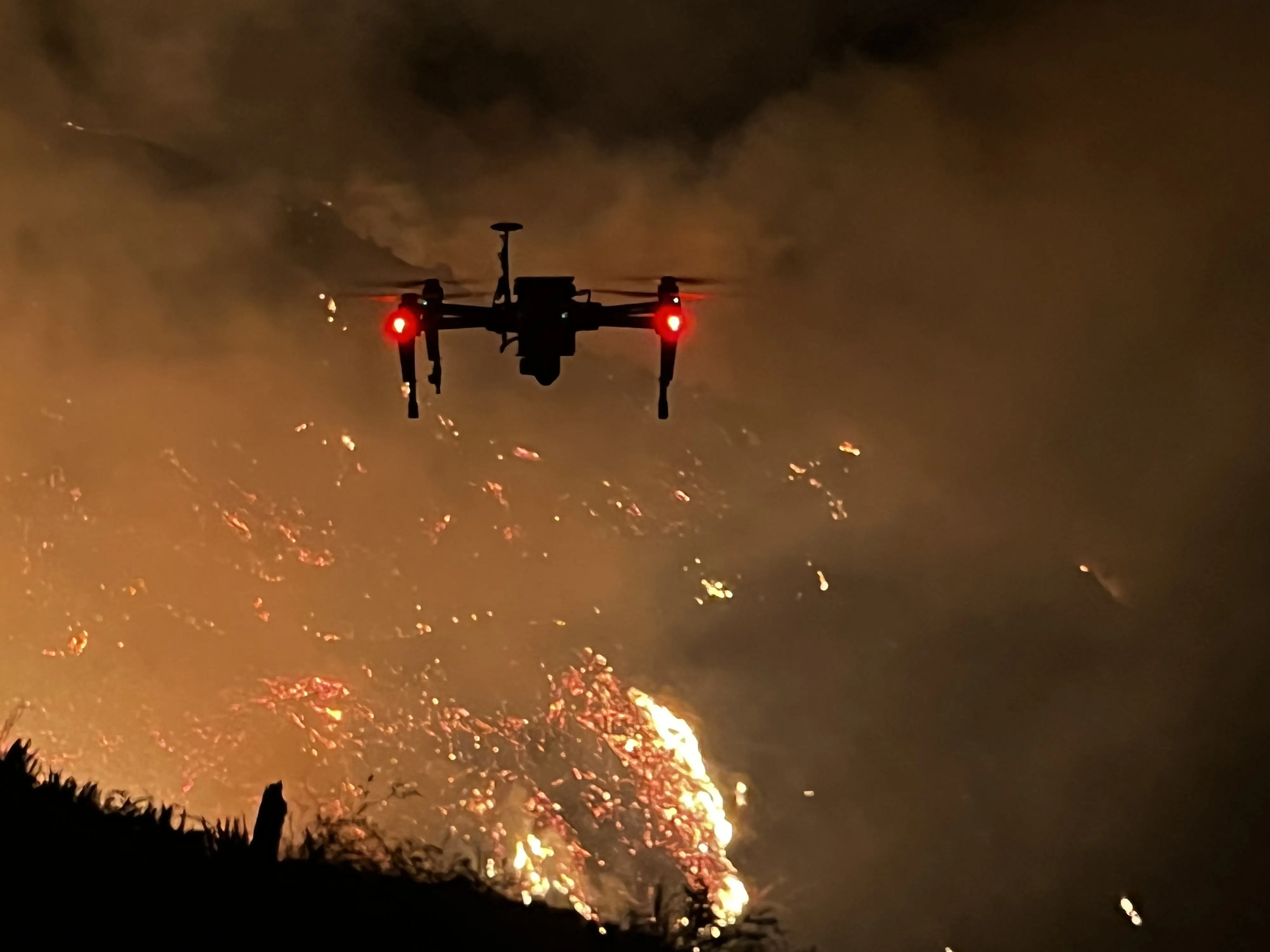
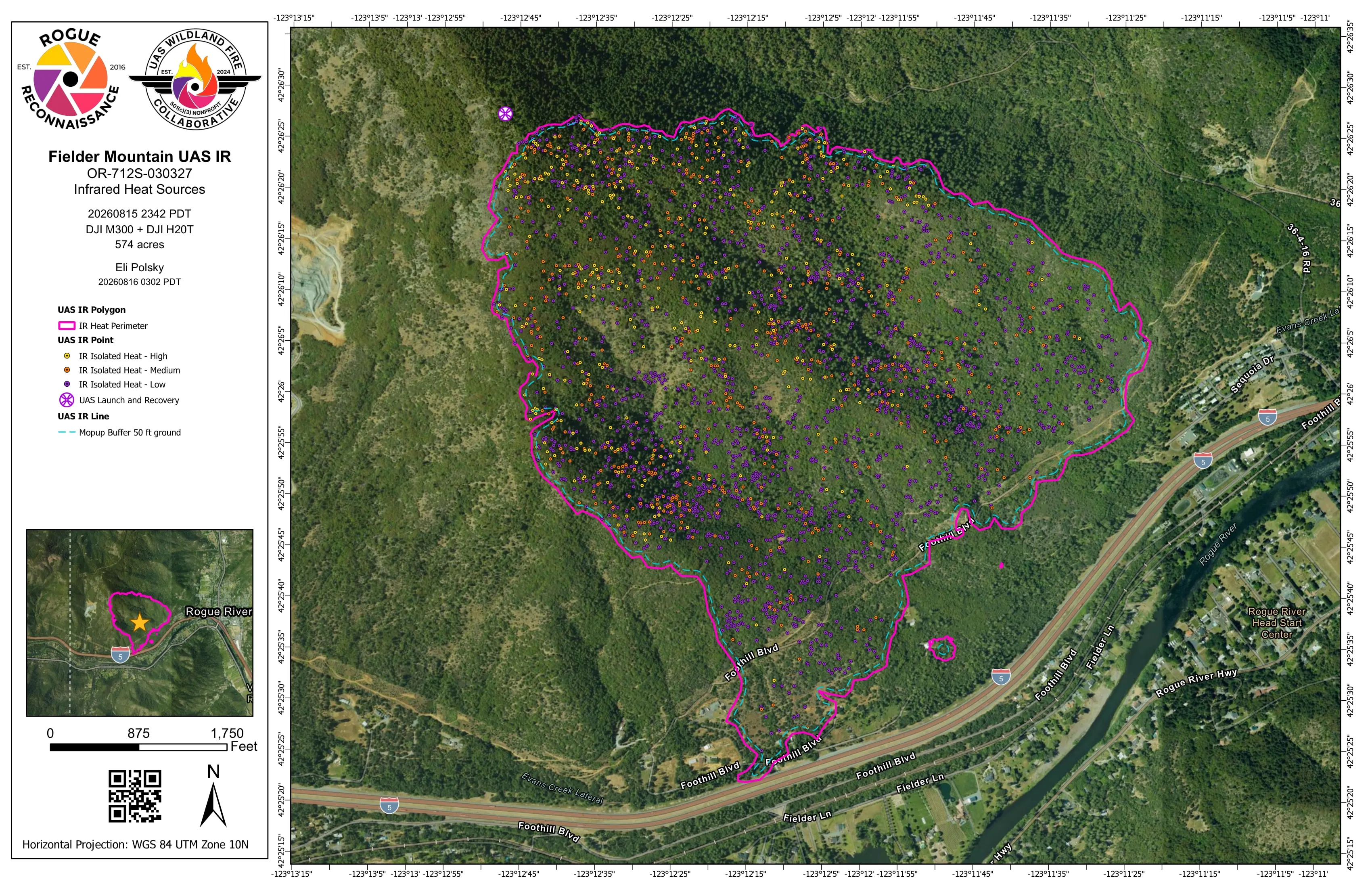
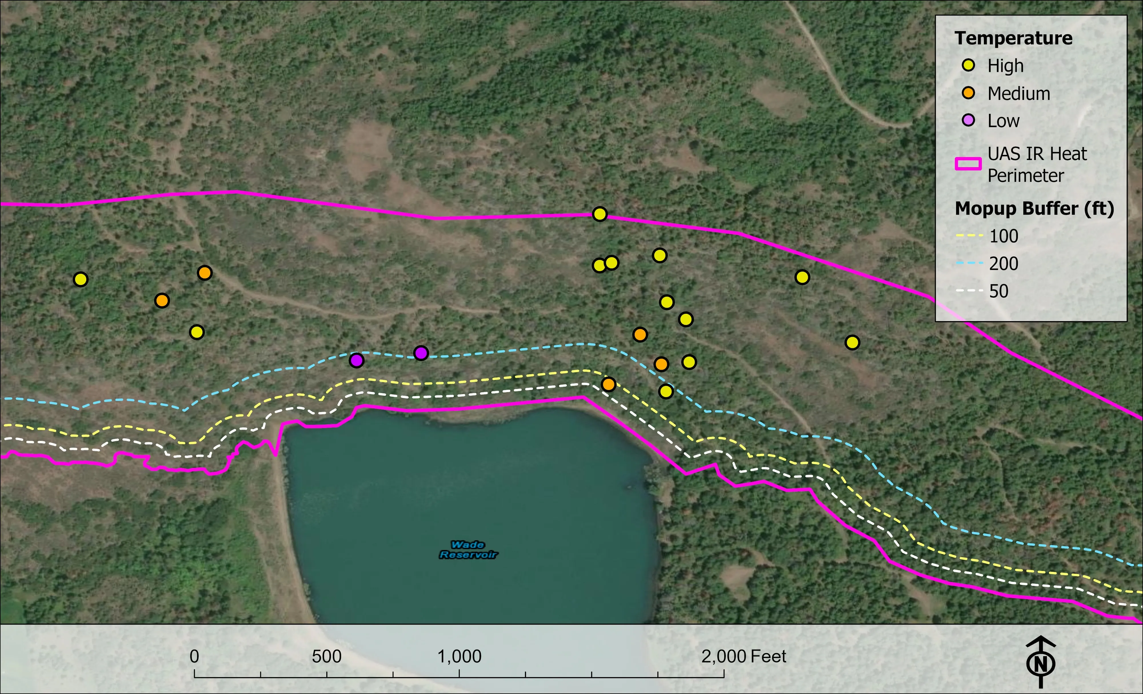
Oklahoma's fires run on wind across grass and cross timbers, and the perimeter at midnight is not the perimeter at dawn. We fly infrared after dark and hand the incident the heat perimeter, intense and scattered heat, isolated heat points by intensity and the mopup buffers, as a shapefile, a geodatabase, a KMZ and an 11 by 17 map, before the morning briefing, in the national schema with the IRWIN identifier.
We hold FAA Certificates of Authorization, carry the NWCG red card and the USFS Administratively Determined qualifications, and have flown as an Oregon Department of Forestry Call When Needed resource since 2019. Oklahoma Forestry Services, a county, a tribal nation or a contractor can order the same resource.
Where the work is
Oklahoma, region by region
The cross timbers and the central counties
Post oak and blackjack on the hills from Stillwater down through Norman, with wheat and cattle between, and a grass and brush fire season that runs on wind. Fuels and structure exposure data for county and city wildfire plans, night infrared on the incidents, and the canopy and terrain the growing towns need.
Tulsa and the Green Country
The Arkansas River, the lakes and the oak hills of the north east, with the tribal nations managing forest and range at a scale few agencies match. Tree inventory for the cities, corridor LiDAR for the cooperatives, riparian and habitat mapping for the watershed and tribal programs.
The Ouachitas and the south east
Pine timber country from McAlester to the Arkansas line, industrial and tribal forest, and the rivers coming out of the mountains. Forest health tree by tree, post harvest assessment, and prescribed fire planning on the units.
The west, the panhandle and the plains
Wheat, cattle and the prairie fires that cross county lines in a day. Farm planning maps for the irrigated and dryland ground, corridor data for the cooperatives and the wind farm roads, and infrared on the fires when the wind is up.
What we map
Four lanes, in Oklahoma
Let's talk about your Oklahoma project.
Tell us the ground, the county and the season. We will answer with what we would fly, what comes back, and when.
Email info@roguerecon.net or call 808 298 6290.