
Flying since 2016
Aerial remote sensing and geospatial services.
Drone LiDAR, multispectral, and thermal infrared for foresters, fire agencies, watershed councils, engineers, and landowners. Based in southern Oregon, on the road wherever the job is.
The mission
In the right hands before it's needed.
A city forester, an incident commander, an engineer, or a family with a farm gets what is actually there, measured, while the decision is still open. Every product ships with its accuracy, and with the classes that are weak named.
What the numbers say
- 31
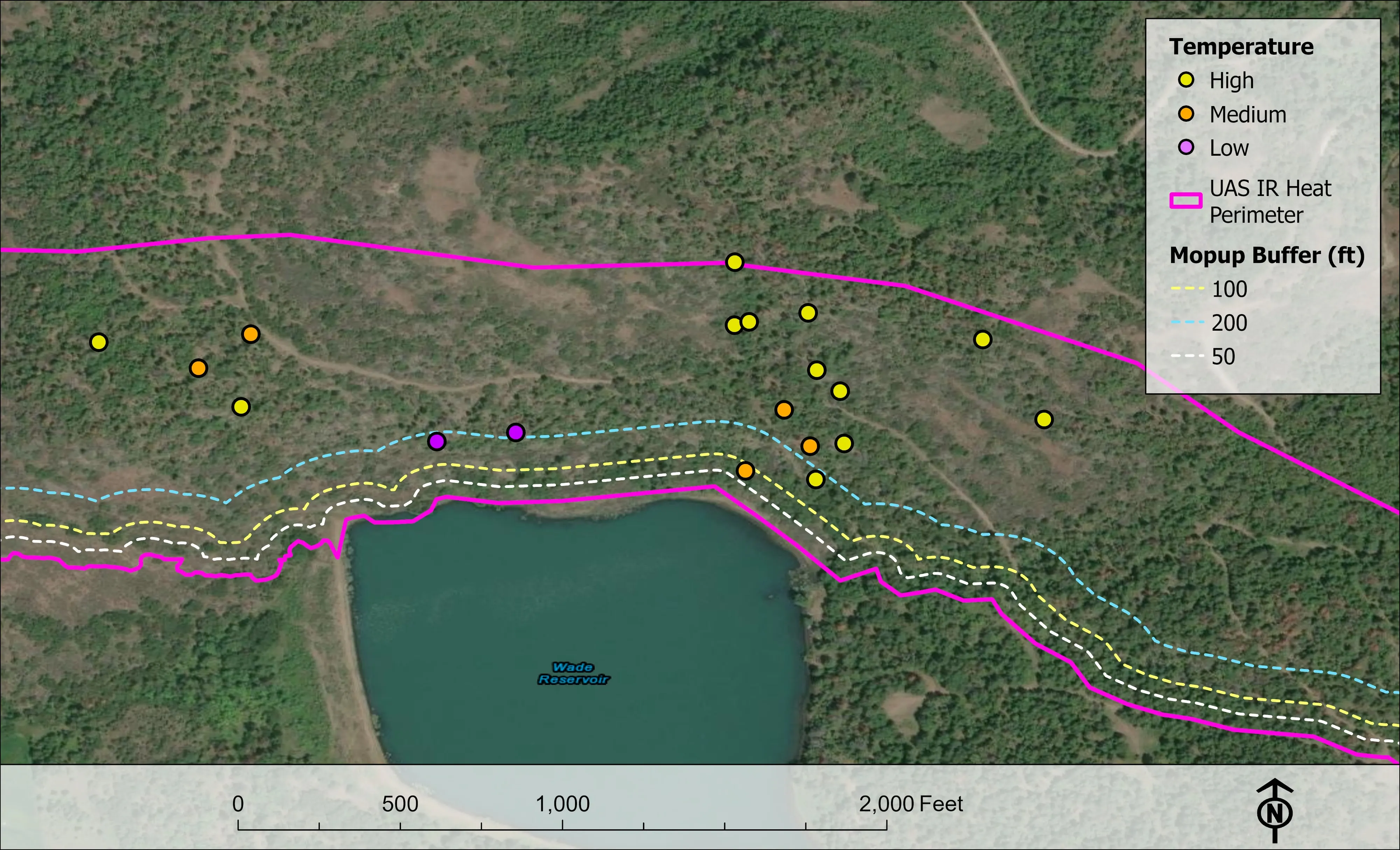
- Night infrared shifts in one season
- The 2026 fire season, four incidents from East Evans Creek to Fielder Mountain, counted from the delivered products
- 62
- Incident days on wildland fires
- Eight incidents with delivered products on file, 2023 to 2026, a floor: the 2019 to 2022 seasons are not on this disk
- 12,632
- Crowns classified on one project
- City of Eugene Oregon ash inventory, 390 acres of riparian canopy
- 5,519
- Acres of drone LiDAR with an acreage on file
- Ashland citywide 4,300, the BLM Ukiah mines 778, the Eugene corridors 390, the ODF post harvest unit 51
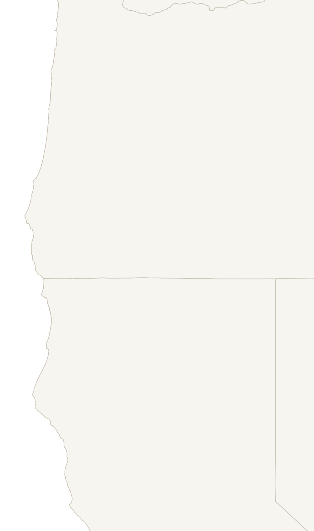
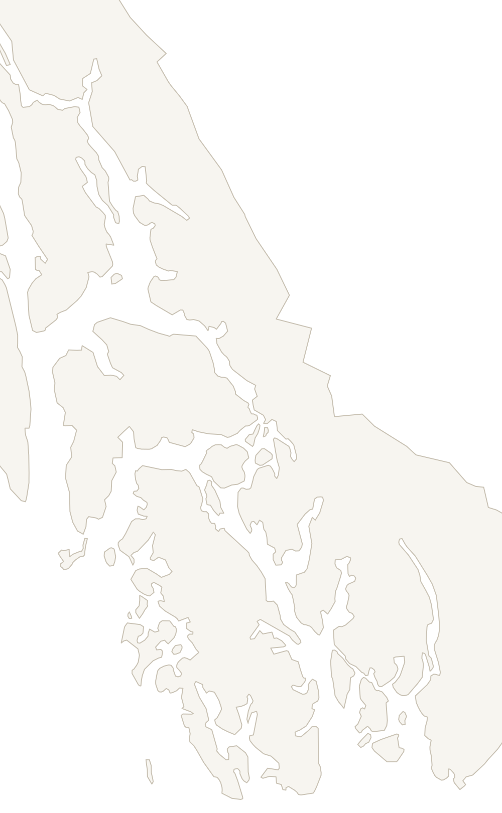
Where we have flown
Every dot is a job on this site
-
Lee Falls Road
- Lee Falls Road, 2024 Night infrared for the Oregon Department of Forestry
-
Logsden, Lincoln County
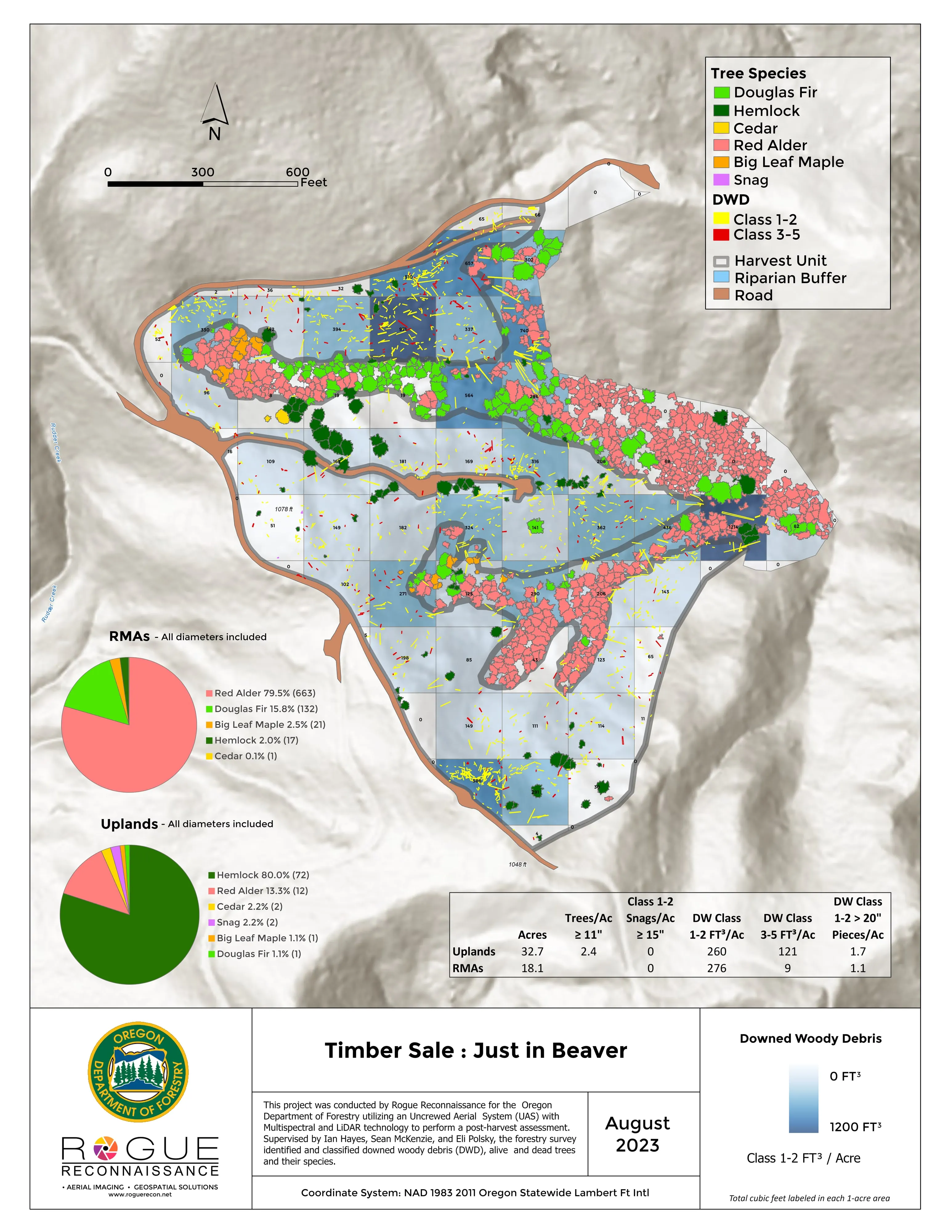
- Downed woody debris, measured from the air Oregon Department of Forestry
- Post harvest monitoring for ODF Oregon Department of Forestry
-
Service, Fossil Complex
- Service, on the Fossil Complex, 2024 Night infrared for the Oregon Department of Forestry
-
Eugene
- Finding every Oregon ash before the borer does City of Eugene, Parks and Open Space
-
Tyee Ridge Complex
- Tyee Ridge Complex Oregon Department of Forestry
-
East Evans Creek
- East Evans Creek, a season inside one fire Oregon Department of Forestry
-
Salt Creek
- Salt Creek, 2024 Night infrared for the Oregon Department of Forestry
-
Rogue River and Grants Pass
- Fielder Mountain, 2026 Night infrared for the Oregon Department of Forestry
- Interstate 5 at milepost 57, 2026 Night infrared for the Oregon Department of Forestry
-
Applegate Valley
- Woodrat Mountain, 2026 Night infrared for the Oregon Department of Forestry
- Upper Applegate, 2025 Night infrared for the Oregon Department of Forestry
-
Ashland, Talent, and Phoenix
- At risk, declining, dieback, dead City of Ashland
- Citywide LiDAR for the Ashland CWPP City of Ashland
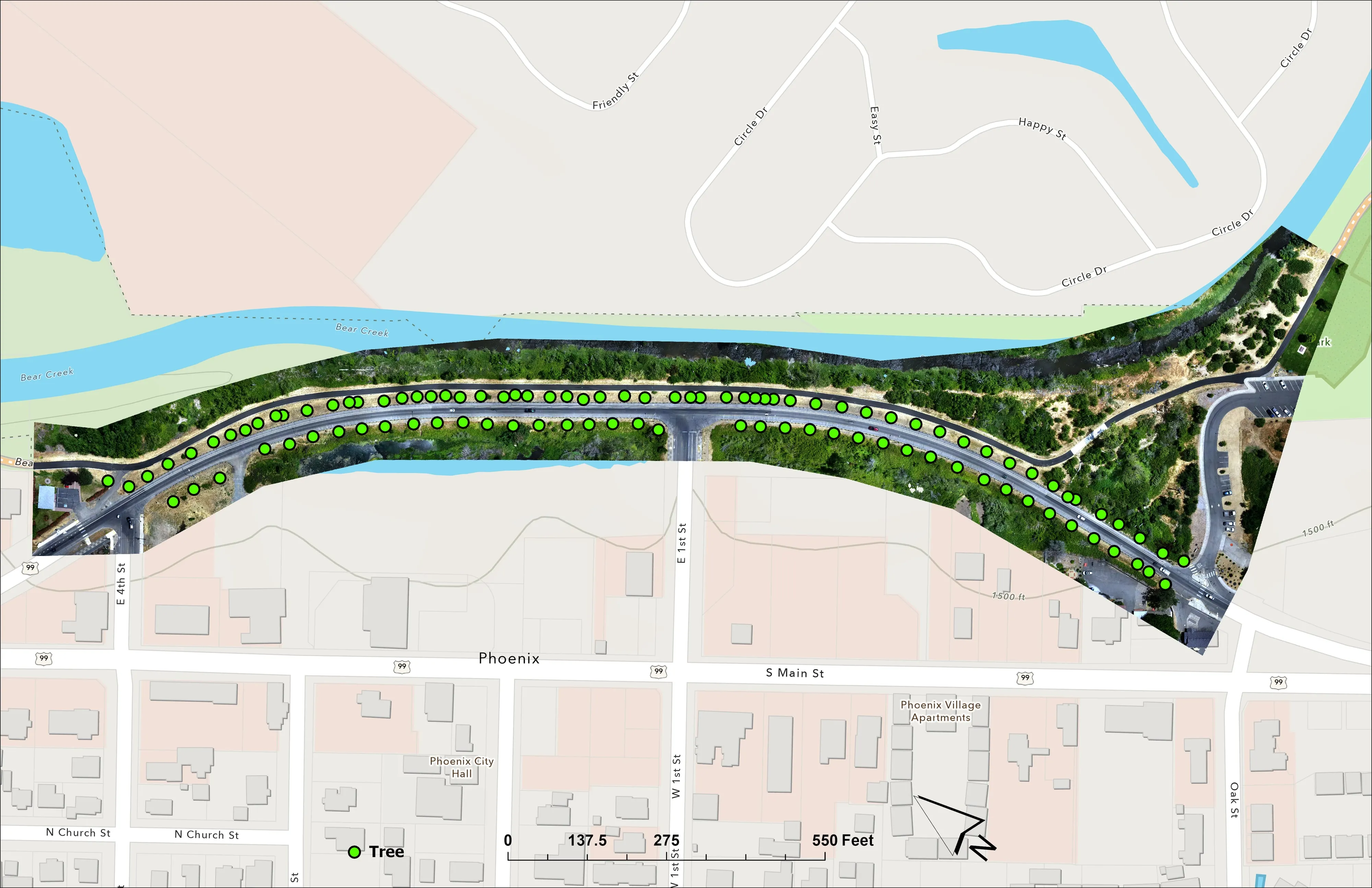
- A planting corridor through Phoenix, tree by tree City of Phoenix
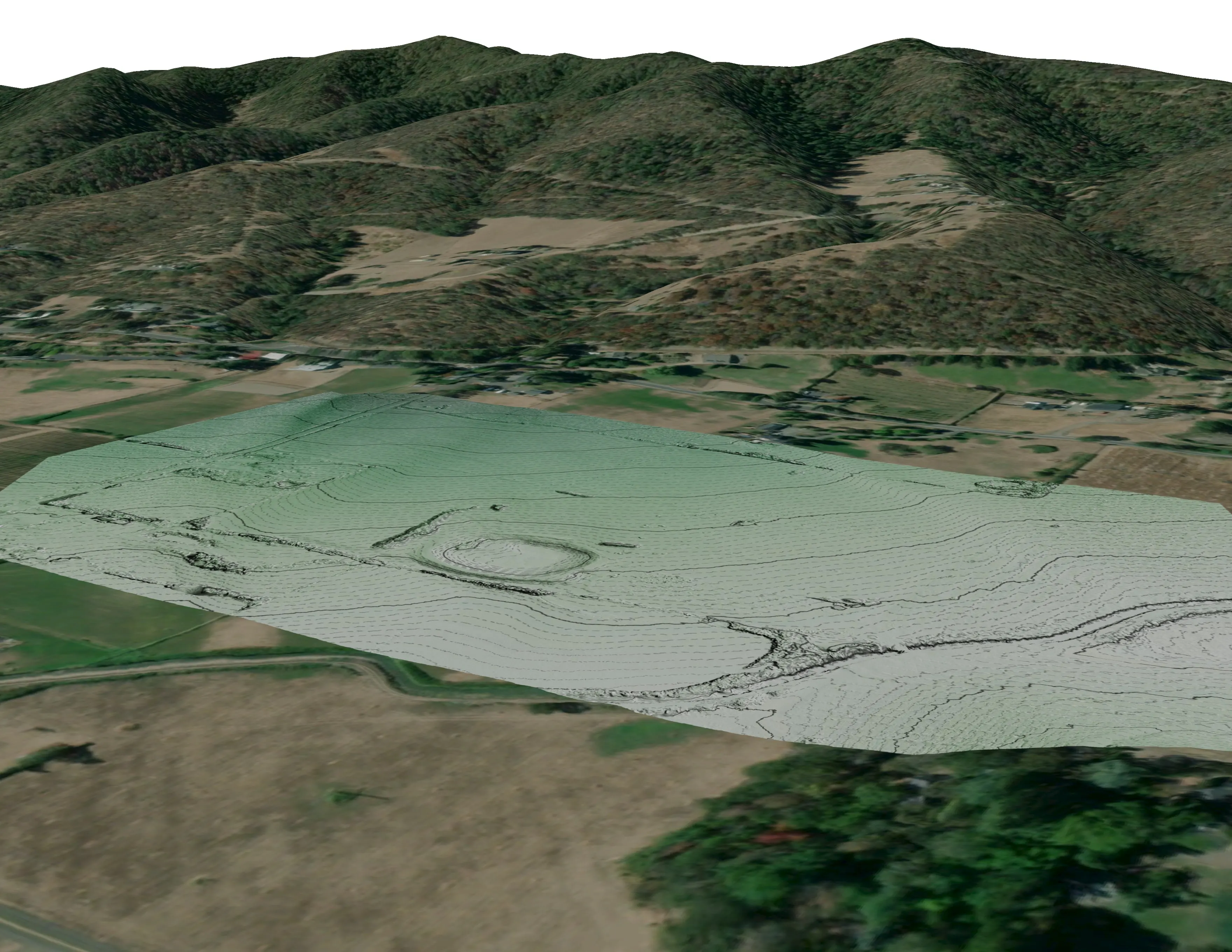
- Colver Road Park, the LiDAR pilot Rogue Reconnaissance pilot project
- A farm plan on real ground Plant Oregon with Oregon Urban Rural and Community Forestry, a tree nursery in development
-
Brookings
- A school site, ready for the engineers Pacific 3D Reality Capture, for the Brookings Harbor High School campus
-
Scott River, California
- Riparian species and cold seeps on the Scott River Cascade Stream Solutions, with a botanist leading field identification. We flew it as their subcontractor and reported to them.
-
Ukiah, California
- Ten abandoned mines, bare earth under the chaparral Bat Conservation International, on Bureau of Land Management land, Ukiah Field Office
-
Near Klawock, Southeast Alaska
- A tidal cycle time lapse at two stream mouths, 2017 Three aircraft rotating over two days for a University of Alaska Anchorage anthropologist. The imagery is in the Traditional Tlingit Fishing Technologies exhibit at the Sealaska Heritage Institute in Juneau.
Featured work
Four jobs from the field
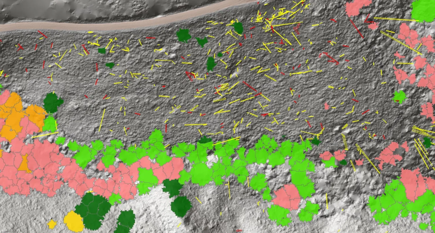
Downed woody debris, measured from the air
Oregon Department of Forestry
Every log on a post harvest unit delineated, measured, and classed by decay, with standing trees identified to species.
Read the case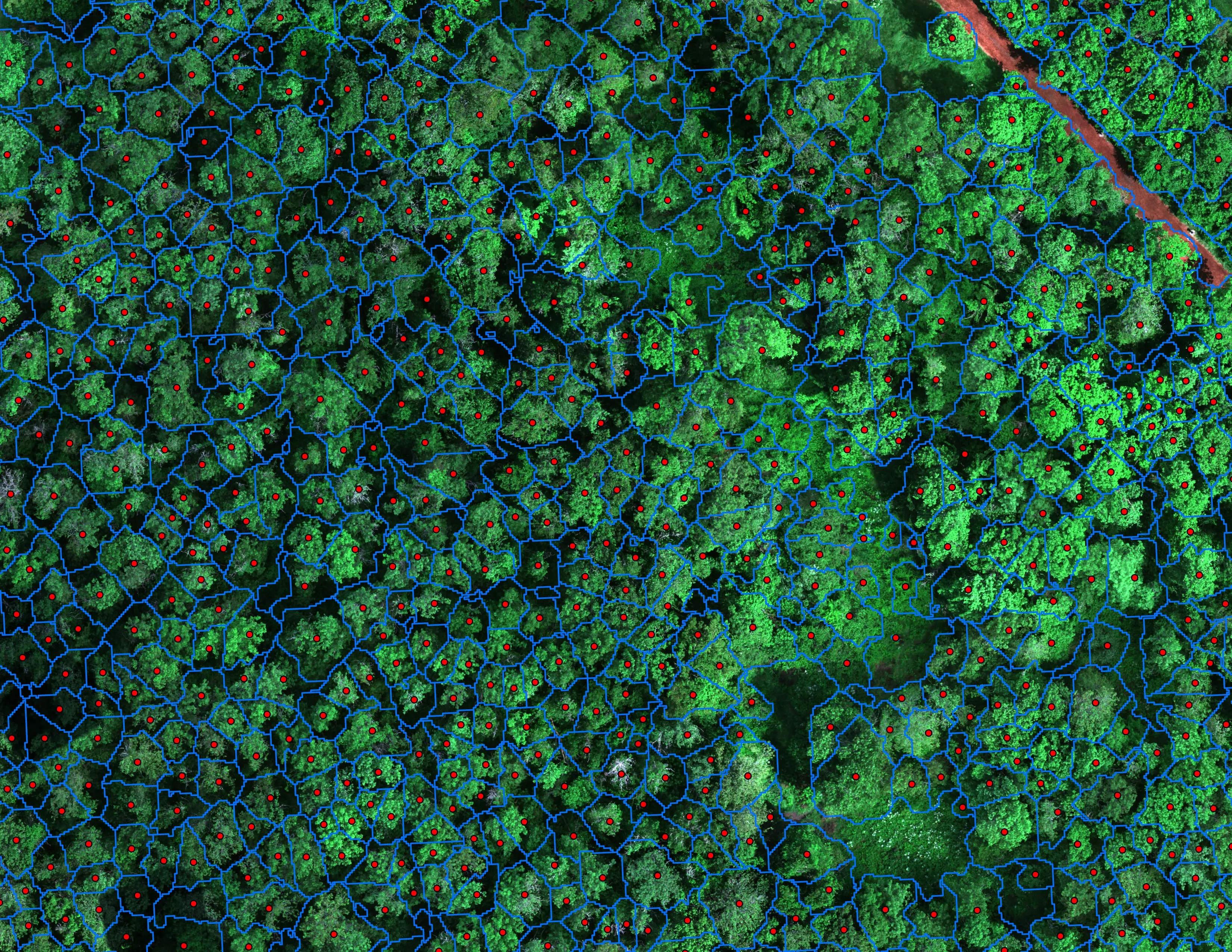
Finding every Oregon ash before the borer does
City of Eugene, Parks and Open Space
12,632 crowns classified across 390 acres of riparian canopy. 5,261 of them Oregon ash.
Read the case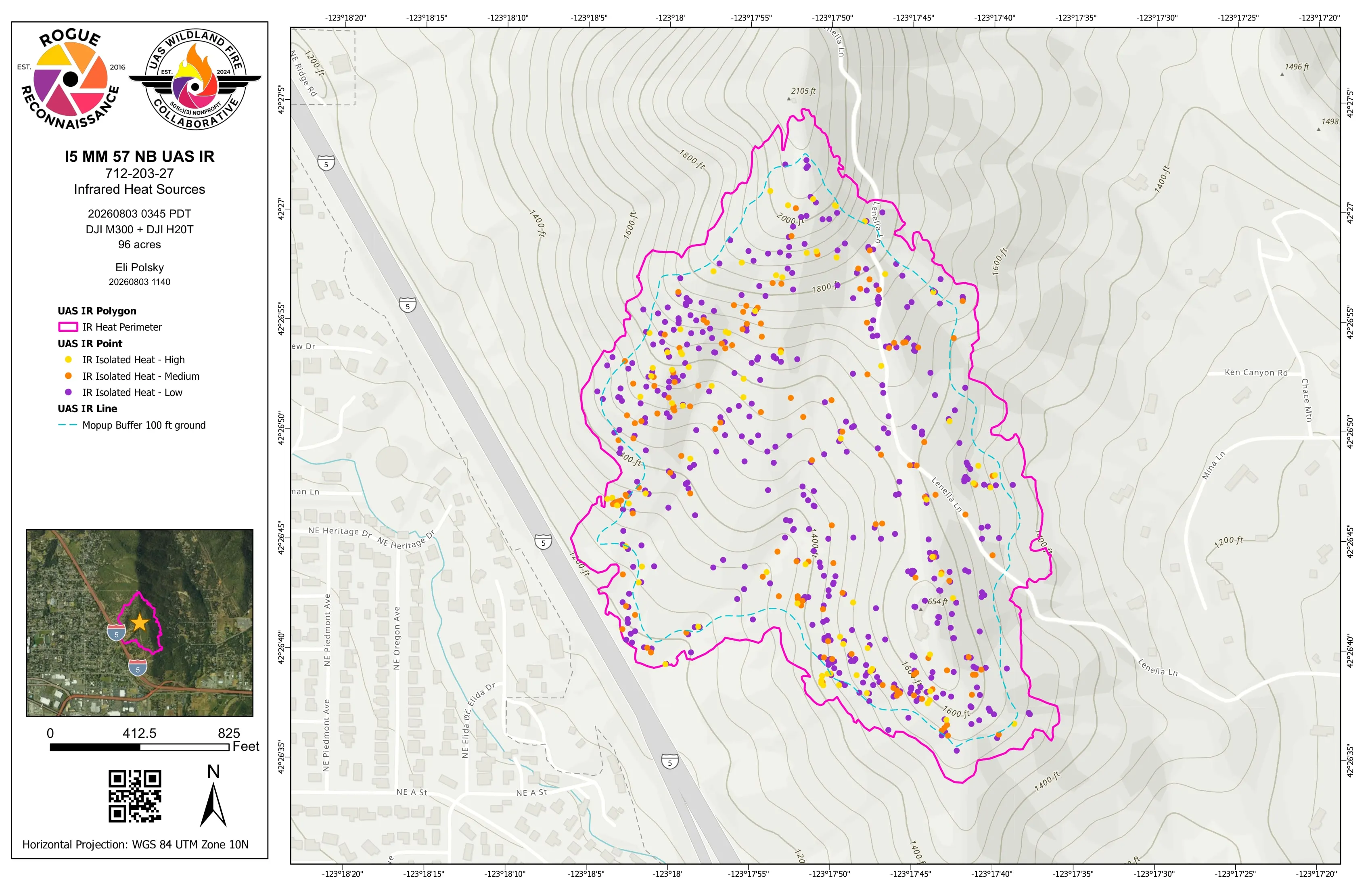
Night infrared on ODF incidents since 2019
Oregon Department of Forestry, State Aviation
Call When Needed UAS infrared resource on active incidents, with heat perimeter and hotspot products in the GISS's hands before the morning briefing.
Read the case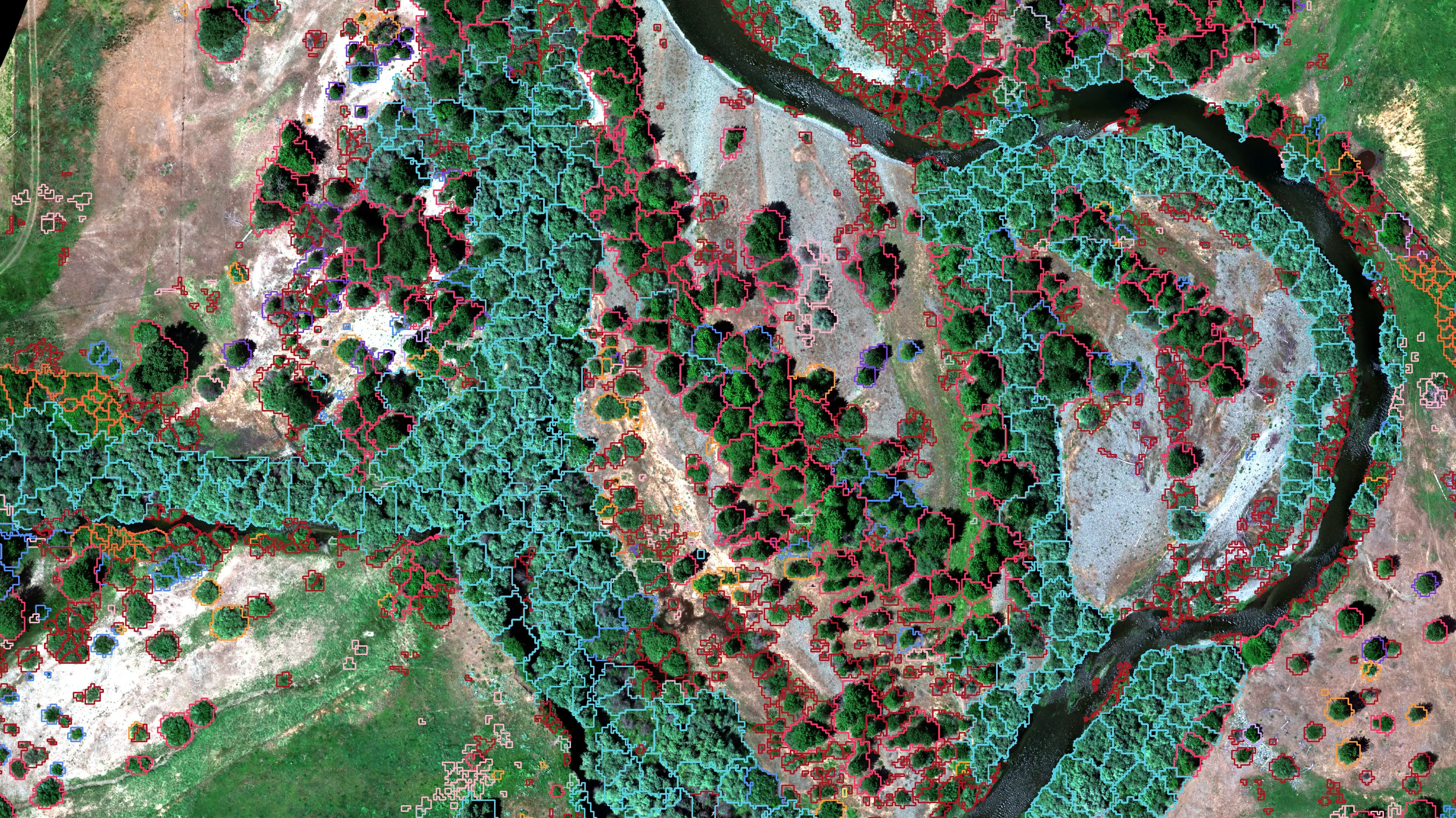
Riparian species and cold seeps on the Scott River
Cascade Stream Solutions, with a botanist leading field identification. We flew it as their subcontractor and reported to them.
Fourteen riparian species classified across 423 acres of river corridor, with thermal mapping that pointed to groundwater fed cold seeps.
Read the caseWe fly the same aircraft over a fire at two in the morning and over a timber sale at noon. The standard doesn't change: a number you can defend, in the format you already use, before you need it.
Who we work with
Agencies, cities, foresters, and landowners
- 01 State and federal fire agencies
- 02 Incident management teams
- 03 Cities and counties
- 04 Watershed councils and land trusts
- 05 Forestry consultants and timber
- 06 Architects, engineers and landowners
- 07 Farms and ranches
- 08 Prescribed fire and fuels contractors
Credentials
Founded on a fire line. Flown by insured pilots red carded for fire.
- FAA Part 107 remote pilot, certificated November 2016
- Red carded wildland firefighter: FFT1, GISS, UASD
- Administratively Determined resource, US Forest Service
- Oregon Department of Forestry Call When Needed UAS resource since 2019
- Certificate of Authorization holder, Class D and Class E2 airspace
- SAM.gov registered federal contractor, UEI RUE6PBWSLAN6, CAGE 9DDE5
- Insured remote pilots
- Founder, UAS Wildland Fire Collaborative, a 501(c)(3)
Agencies and clients we've worked with


What clients say
Rated Exceptional. ODF Aviation Unit contractor performance rating, Call When Needed UAS, 2019 to 2022.
The pilots are self sufficient with a background in wildfire which helps them understand incident needs and the importance of accuracy when producing mapping products. Excellent safety record with no incidents or accidents to date.
You and your crews have been a proven and valuable resource for us to meet our fire suppression goals since the 2019 fire season. They met or exceeded our expectations.
Related
Hawaii jobs and the Collaborative
Hawaii
Hawaii Mapping
Our sister company in Hawaii. Hawaii projects run through it.
Go to Hawaii MappingPilots and programs
UAS Wildland Fire Collaborative
The nonprofit we founded so any pilot on any fire can hand the incident the same packet in the same schema. State, contractor, and district pilots use it now. If you fly fire, join there.
Go to the CollaborativeLet's talk about your next project.
-
Talk to Eli
Tell us what you need to know about your ground and roughly when. We reply within one business day.
Contact -
See the work
Case studies with what was flown, what was delivered, and the numbers with what they measure.
Case studies -
Take the capability statement
The 2026 capability statement for procurement: credentials, aircraft, sensors, past performance, UEI and CAGE. PDF, 7 MB.
Download the PDF
Email info@roguerecon.net or call 808 298 6290.