
Oregon
Home ground, from the Rogue Valley to the Wallowas.
Medford is the address and most of the portfolio is Oregon: the Ashland wildfire plan, the Eugene ash inventory, ten years of Oregon Department of Forestry fire seasons, timber, farms, and building sites.
What we fly in Oregon
The fire, the stand, the site, and the farm
Everything on this site was flown in Oregon unless the case says otherwise. Drone LiDAR for the ground and the trees, multispectral for what is alive and what is not, thermal infrared for heat at night, and a current orthomosaic to draw on. Products come back in Oregon Statewide Lambert or the State Plane zone your engineer asks for, in the formats the agency, the forester, or the incident already uses.
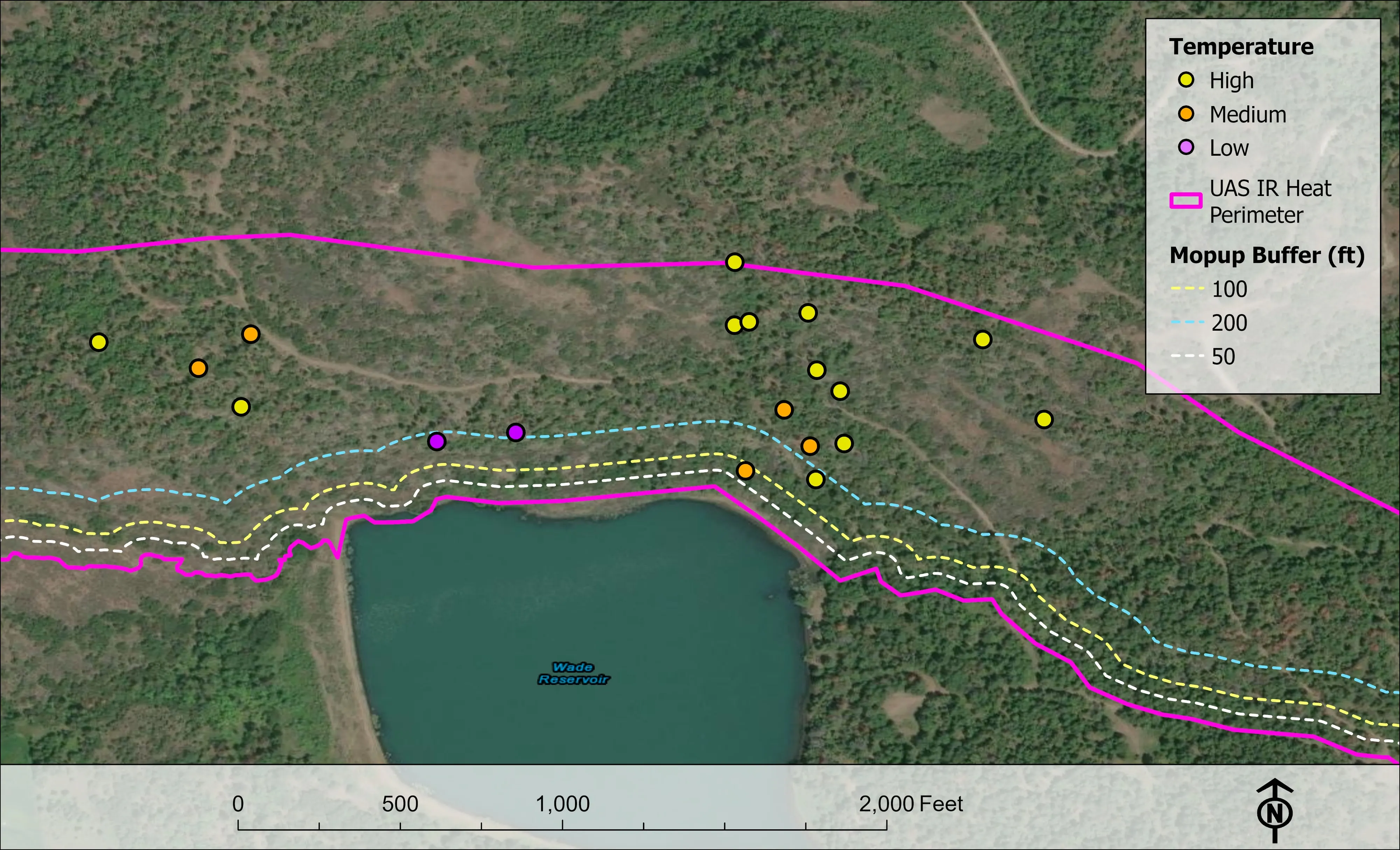
- Night infrared perimeter and heat products on active incidents, delivered the same shift
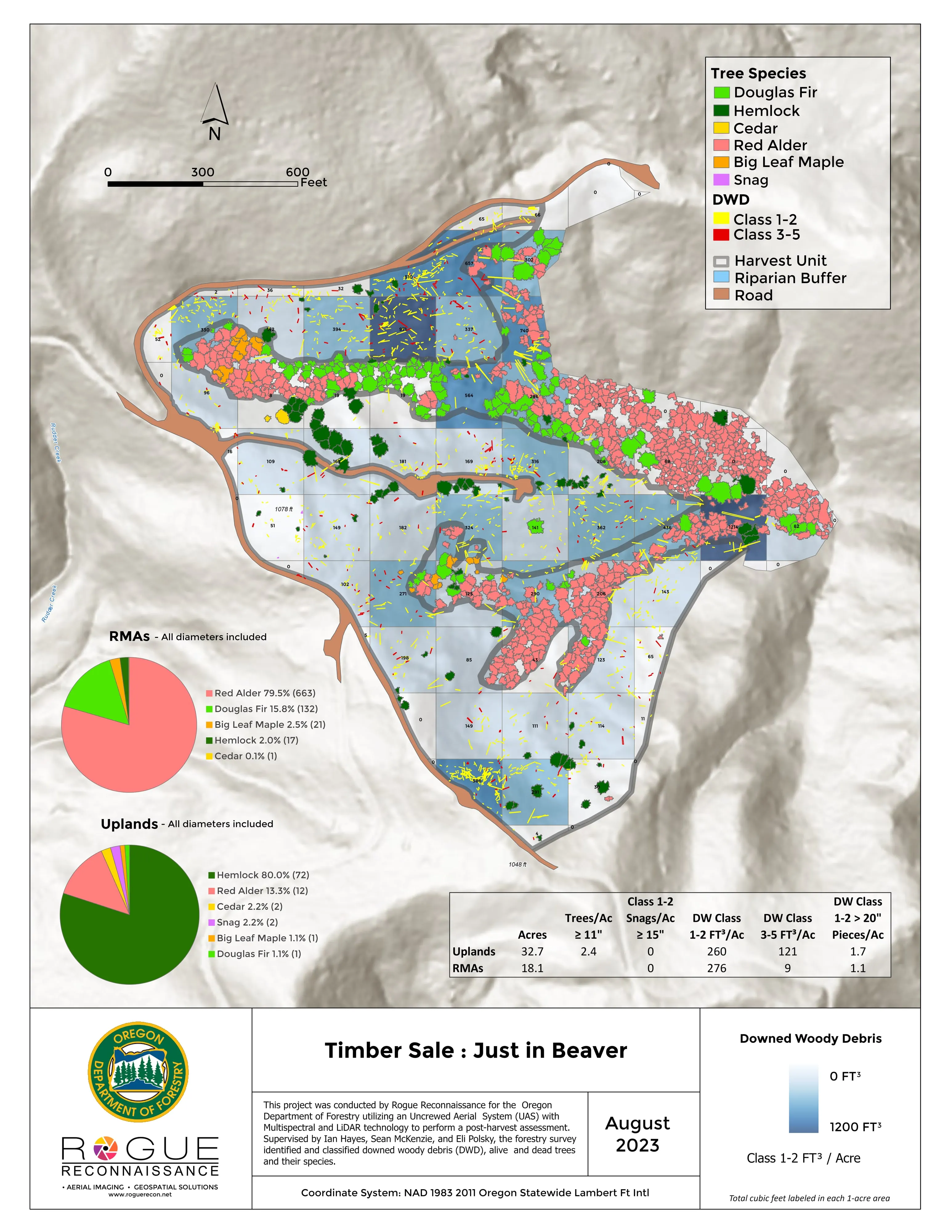
- Forest health tree by tree, post harvest assessment, and downed woody debris by decay class
- Canopy height, ladder fuels, and structure exposure for Community Wildfire Protection Plans
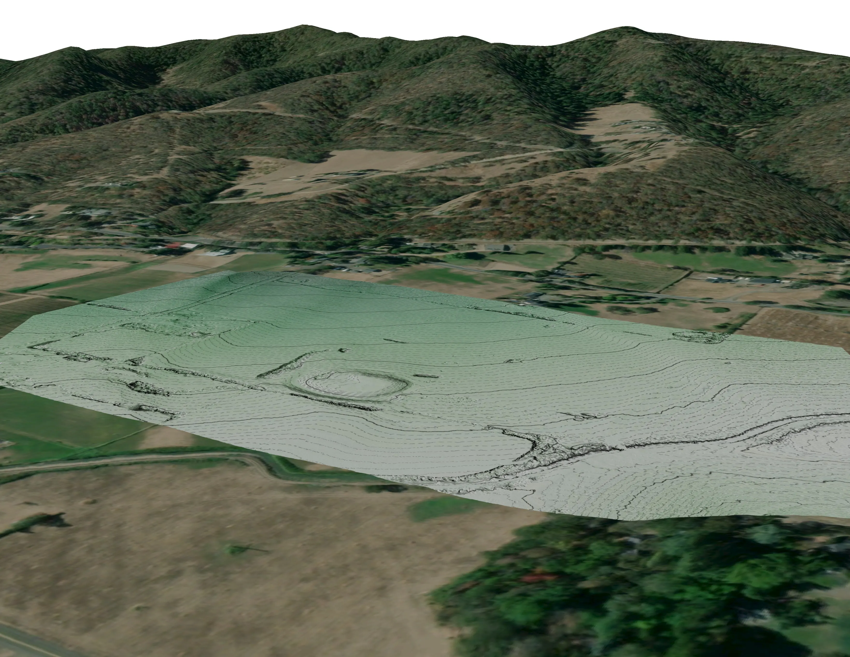
- Design ready terrain and canopy data for architects, engineers, and landowners
- Farm and nursery planning maps: drainage, slope and aspect, canopy, and plan overlays
- Medford
- Ashland
- Grants Pass
- Eugene
- Salem
- Roseburg
- Bend
- Brookings
- Klamath Falls
- Portland
The Oregon record
A Call When Needed resource since 2019
The Oregon Department of Forestry first ordered us in 2019 for a proof of concept mission, one operational shift, with the map in the team's hands by 0200. The agency rated our contractor performance Exceptional for 2019 through 2022. Since then the night infrared work has run every season we were ordered, and the same aircraft and sensors carry the forestry, fuels, and terrain work the rest of the year.
Every night package is filed in the public archive at the UAS Wildland Fire Collaborative, in the interagency folder structure, so an Oregon incident can pull the history without asking us for it.
Where the work is
Oregon, region by region
The Rogue Valley
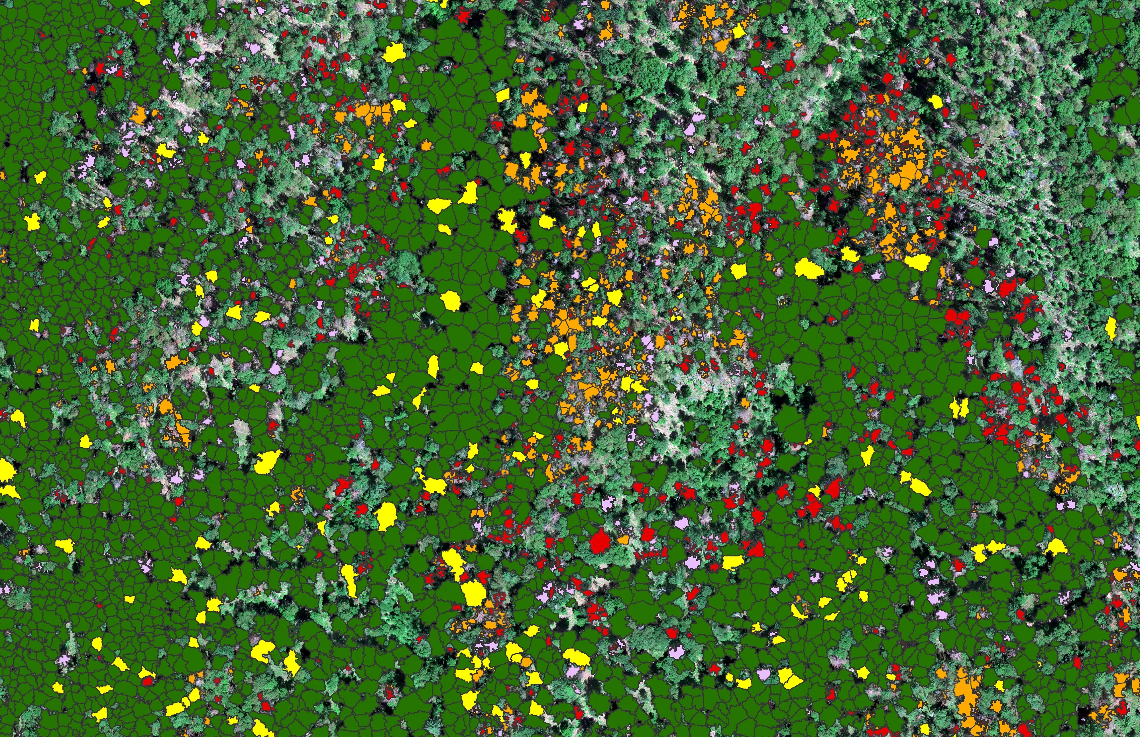
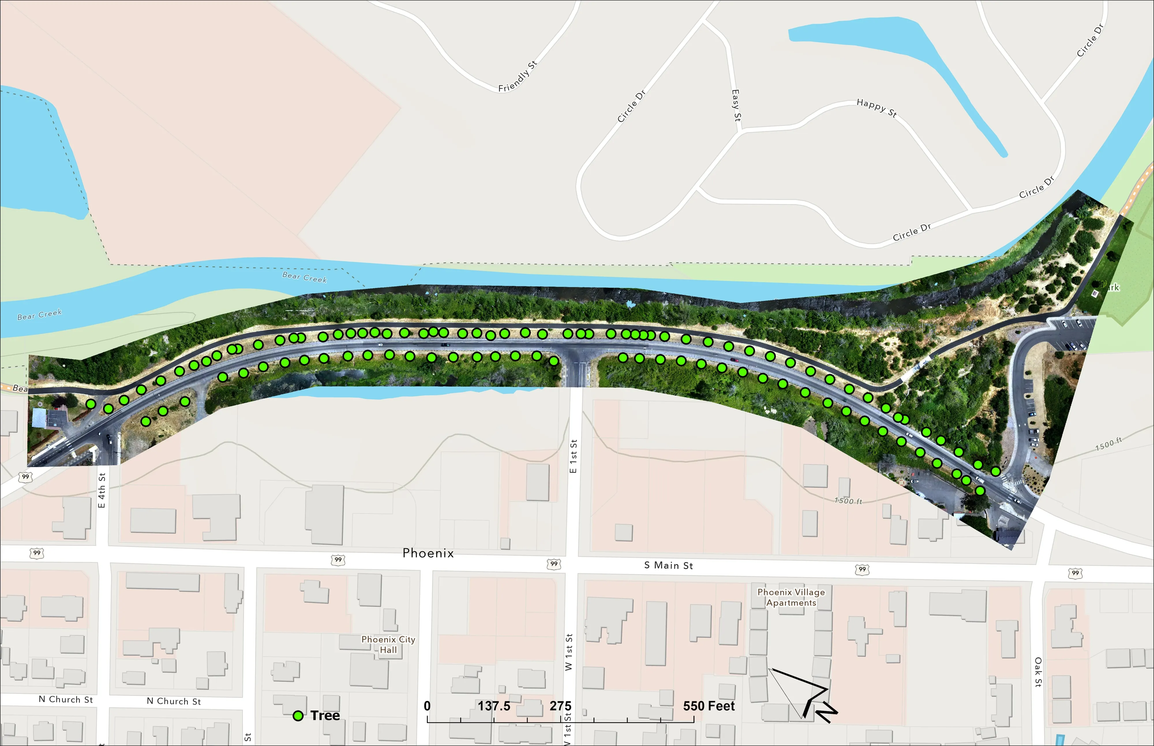
Home ground. The 2025 Ashland Community Wildfire Protection Plan runs on our citywide LiDAR, about 4,300 acres of it. We classed 30,226 Douglas fir crowns by health across the city watershed lands, mapped the Bear Creek corridor planting for the City of Phoenix, flew a tree nursery near Talent, and proved our planimetrics workflow on Colver Road Park.
The Willamette Valley
The City of Eugene ash inventory: 12,632 crowns classified across 390 acres of riparian canopy, 5,261 of them Oregon ash, flown inside Class D airspace at the airport under FAA authorization. Urban canopy, riparian corridors, and park terrain from Eugene through Salem to Portland.
The Umpqua and the Coast Range
Eighteen nights in a row of division infrared mapping on the 2023 Tyee Ridge Complex in Douglas County. Post harvest assessment for the Oregon Department of Forestry on a timber sale unit near Logsden, where every log on the unit was delineated, measured, and classed by decay from one flight.
The southern Oregon coast
Drone LiDAR terrain and contours over a 37 acre school campus at Brookings, delivered as plan sheets and CAD ready data with the control point residuals on the sheet. Coastal timber, dune and bluff terrain, and site work for design teams from Gold Beach to Coos Bay.
Central and eastern Oregon
Juniper and pine country, rangeland, and the fires that run in it. Night infrared on active incidents as an Oregon Department of Forestry Call When Needed resource, fuels and structure exposure data for county wildfire plans, and terrain for the towns growing around Bend and Redmond.
Fire, statewide
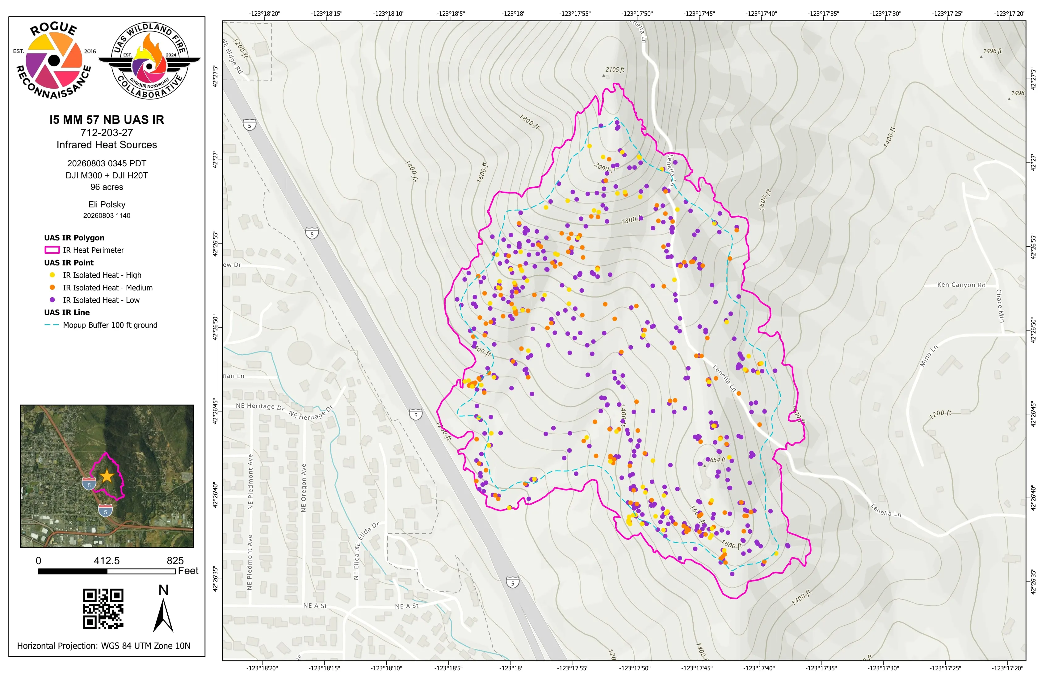
We have flown night infrared on Oregon incidents every season we were ordered since 2019. The 2026 season alone ran twenty operational shifts on East Evans Creek, the Interstate 5 fire at milepost 57 near Grants Pass, Woodrat Mountain, and Fielder Mountain. Products reach the incident management team before the morning briefing.
What we map
Four lanes, in Oregon
Let's talk about your Oregon project.
Tell us the ground, the county, and the season. We will answer with what we would fly, what comes back, and when.
Email info@roguerecon.net or call 808 298 6290.