


Federal
Fire infrared and drone LiDAR for federal land managers.
Night infrared on active incidents, LiDAR under the brush on abandoned mine lands, and forest data tree by tree. Registered in SAM.gov, a small business based in Medford, Oregon.
Wildland fire
The night package, in the interagency schema
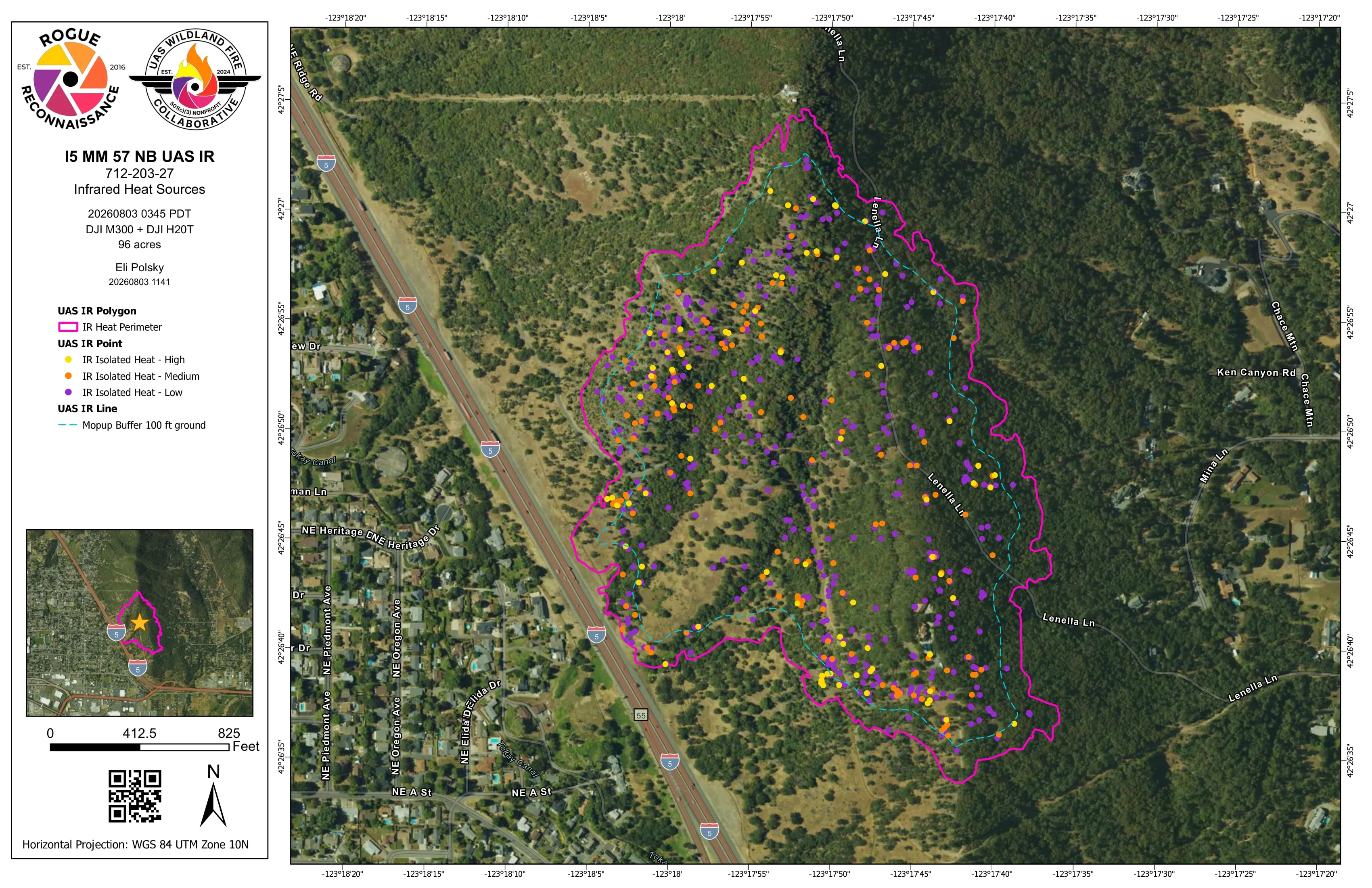
Since 2019 we have flown night infrared as an Oregon Department of Forestry Call When Needed resource. The incident gets the heat perimeter, intense and scattered heat, isolated heat sources by intensity, and the mopup buffers, built to the NIFS schema with the IRWIN identifier, as a shapefile, a geodatabase, a KMZ, and an 11 by 17 map, on the GISS's screen before the morning briefing. A federal incident gets the same package in the same schema.
In 2026 that was East Evans Creek, Interstate 5 at milepost 57, Woodrat Mountain, and Fielder Mountain, every night's package filed in the public archive at uaswfc.org/ftp.
The operator is a red carded wildland firefighter, FFT1, GISS, and UASD, and a US Forest Service Administratively Determined resource. We hold FAA Certificates of Authorization for Class D and Class E2 airspace and fly inside the TFR under 14 CFR 91.137 with air operations.
Abandoned mine lands
Ten mine sites on BLM land, checked against the public LiDAR
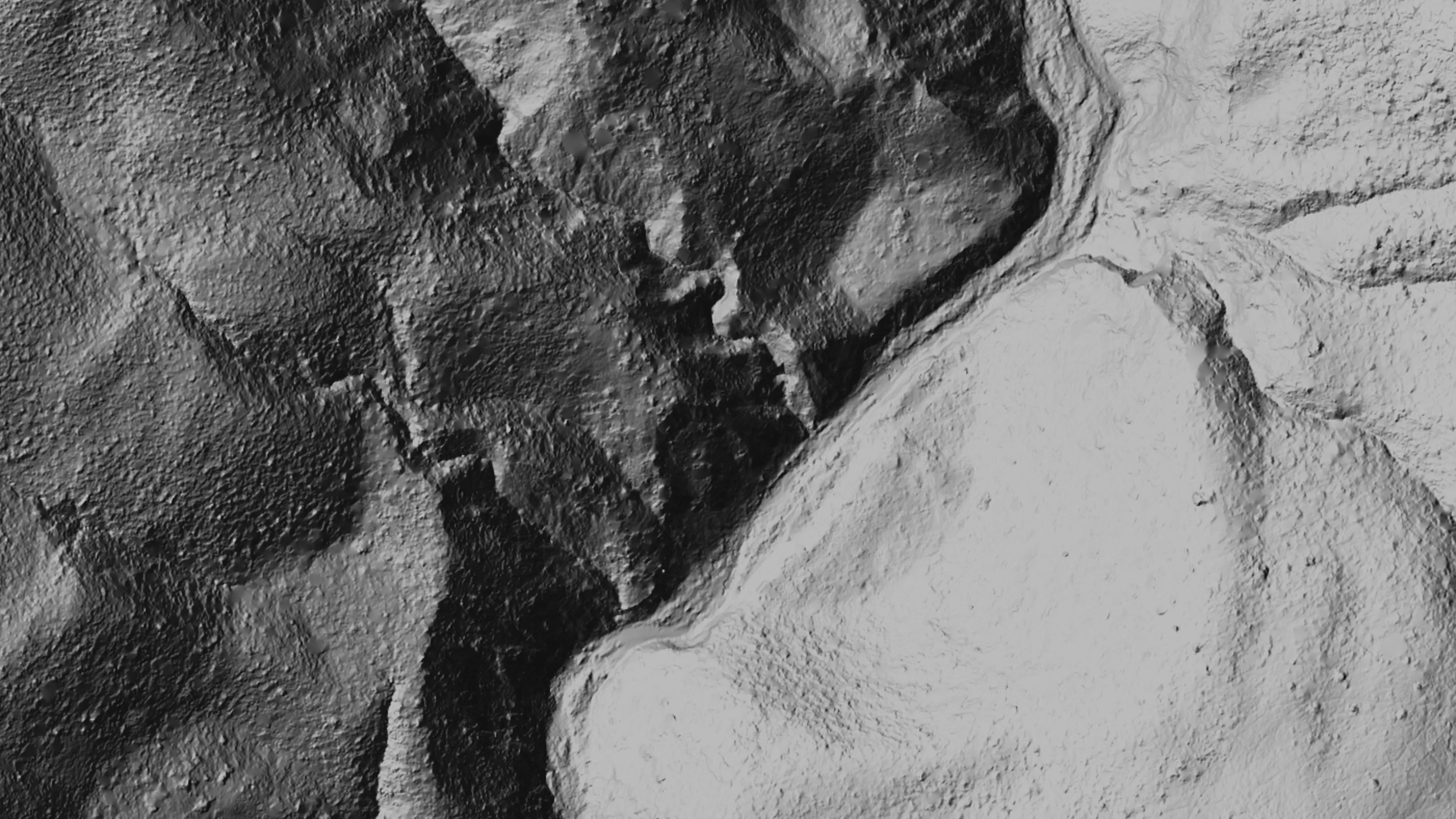
In September 2025 we flew drone LiDAR over ten abandoned mine site areas on Bureau of Land Management land in the Ukiah Field Office, for Bat Conservation International: 779.4 acres under steep chaparral, from Harley Gulch at 580.6 acres to Rathburn 2 at 5.5.
Each site came back as a classified point cloud in LAS 1.4, a 0.25 m bare earth model, a surface model, and a canopy height model in EPSG 6339, with a vertical accuracy report: 0.320 m RMSE on 242 check points against the BLM and USGS topobathymetric LiDAR.
Forestry
Every log and every crown, with the accuracy stated
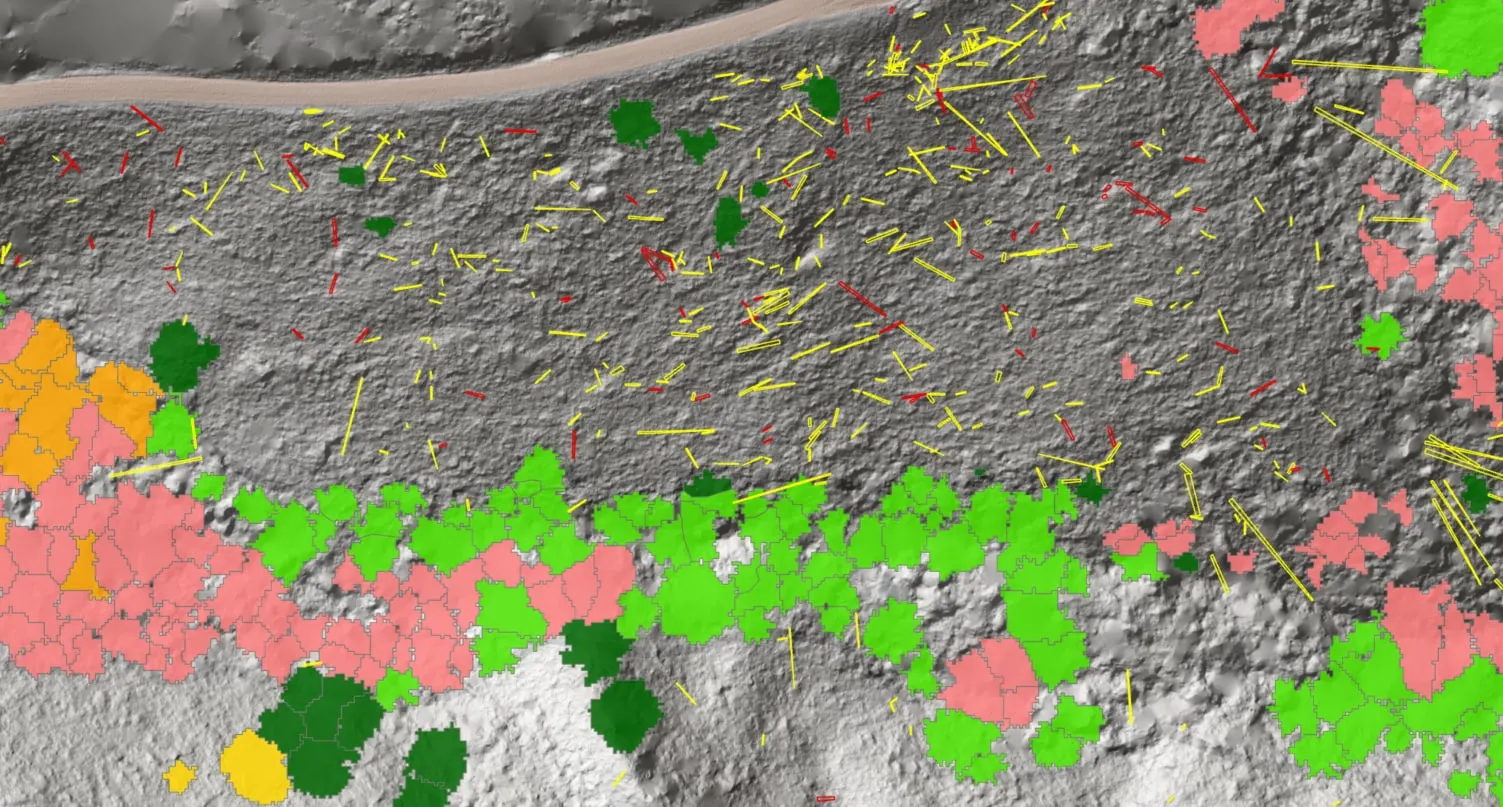
For the Oregon Department of Forestry we measured every piece of downed woody debris on a post harvest unit from one flight, classed by decay, with the standing trees to species at 94 percent on the field checks. For the City of Eugene we found the Oregon ash crown by crown ahead of the emerald ash borer: 85 percent overall accuracy, kappa 0.64, on 290 GPS checked crowns the model never saw. For the City of Ashland we classed about 30,000 Douglas fir crowns by health.
Registrations
For the contracting officer
Ask for a quote with the requirement, the acreage or the incident, and the dates. We answer with what we would fly, what comes back, and when.
- Legal name
- Rogue Reconnaissance LLC
- UEI
- RUE6PBWSLAN6
- CAGE
- 9DDE5
- SAM.gov
- Registered
- Size
- Small business
- Based in
- Medford, Oregon
- Remote pilot
- FAA Part 107, certificated November 2016
Let's talk about your federal requirement.
Tell us the ground or the incident, the dates, and the deliverables. We will answer with what we would fly, what comes back, and when.
Email info@roguerecon.net or call 808 298 6290.