

Roseburg, Oregon
Timber county, and eighteen nights on one fire.
In 2023 we flew division infrared on the Tyee Ridge Complex in Douglas County eighteen nights in a row. Roseburg is the Umpqua's county seat, the middle of Oregon's timber country, and an hour and a half up the freeway from the office.
The ground
Roseburg and Douglas County
Roseburg sits where the North and South Umpqua join, in a county that is three quarters forest: BLM checkerboard, the Umpqua National Forest up the river, and industrial timberland on the rest. The valleys are hay, vineyards and cattle; the towns run from Reedsport on the coast to Glide and the canyon. The 2020 Archie Creek fire and the 2023 Tyee Ridge Complex both burned within sight of county roads.
Who buys mapping here
- City of Roseburg: Public Works, Parks, the GIS group
- Douglas County: Public Works, Emergency Management, Planning
- Douglas Forest Protective Association, Roseburg Fire, and the rural fire districts up the river valleys
- The BLM Roseburg District and the Umpqua National Forest
- The Cow Creek Band of Umpqua Tribe of Indians and its land programs
- Partnership for the Umpqua Rivers and the Umpqua Soil and Water Conservation District
- Douglas Electric Cooperative and Pacific Power
- Industrial and family timber owners, consulting foresters, and the mills
- Umpqua Community College and the vineyards of the Umpqua Valley
Getting there
From Medford
About an hour and a half north of Medford on Interstate 5. A day trip for most sites; an incident order gets a crew on the road the same afternoon.
The public lidar
What exists, and what it misses
Douglas County has public lidar over much of its ground from the state and federal programs, flown for terrain and forest inventory at the stand scale. Tree by tree health, post harvest debris, a unit's riparian buffer or this season's fuels are a finer question, and a timber owner or a protective association gets them from a drone flight of the unit itself.
What we would fly
The lanes that fit Roseburg
Nearest work
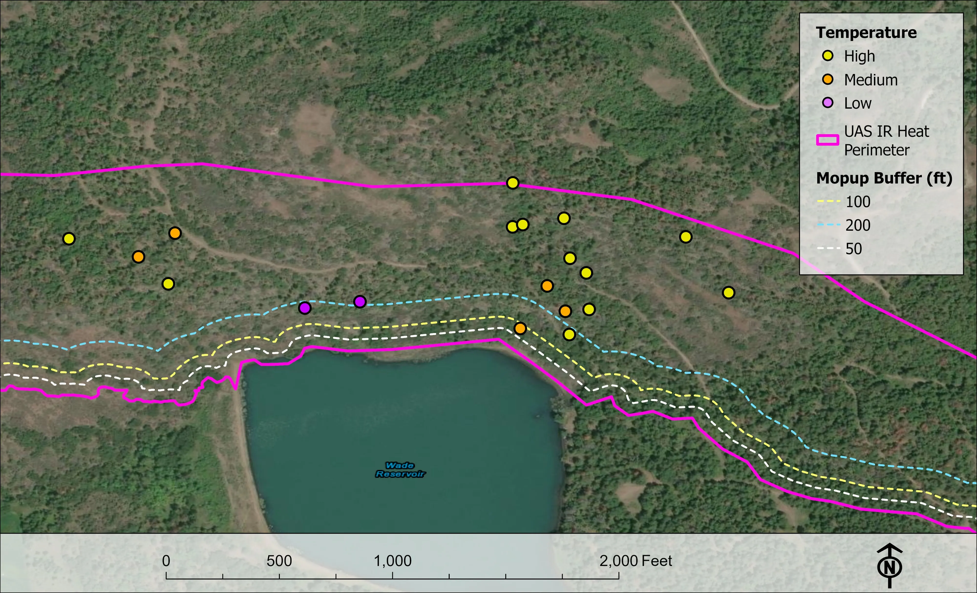
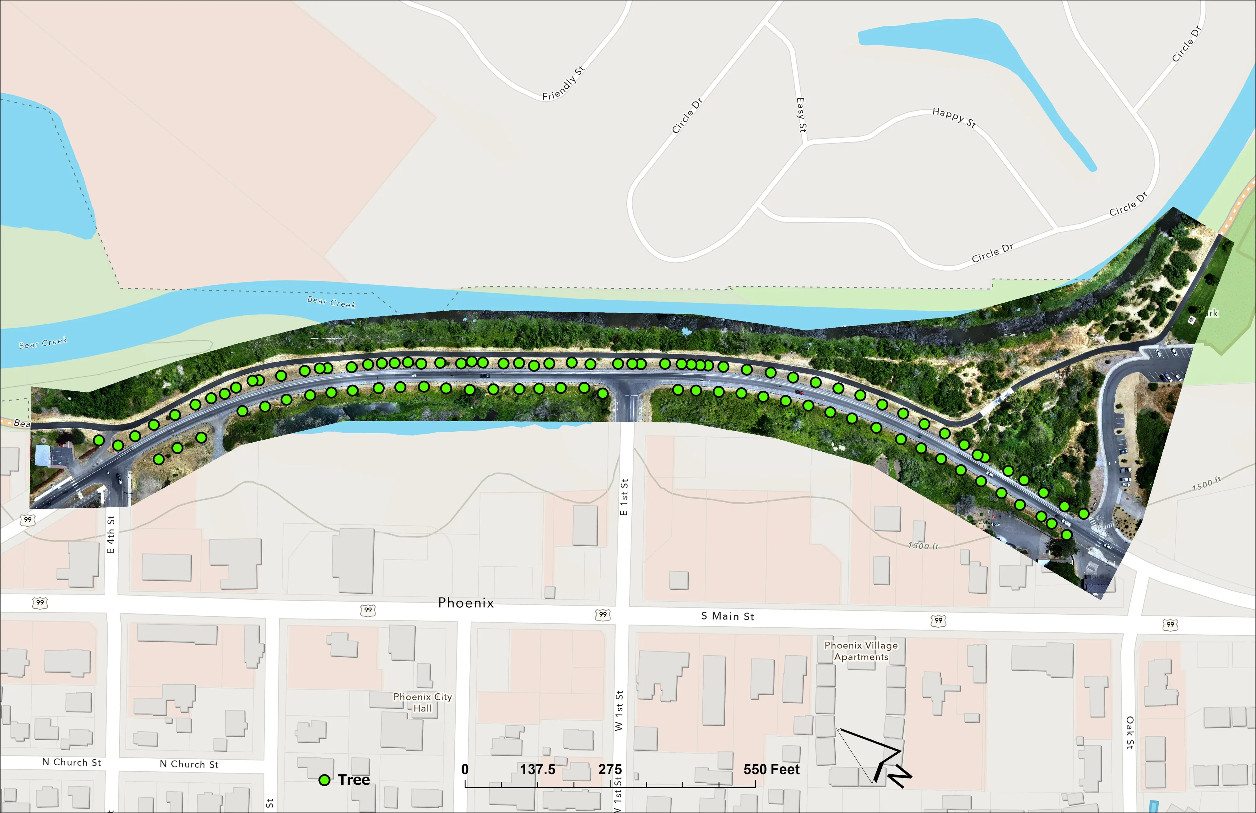
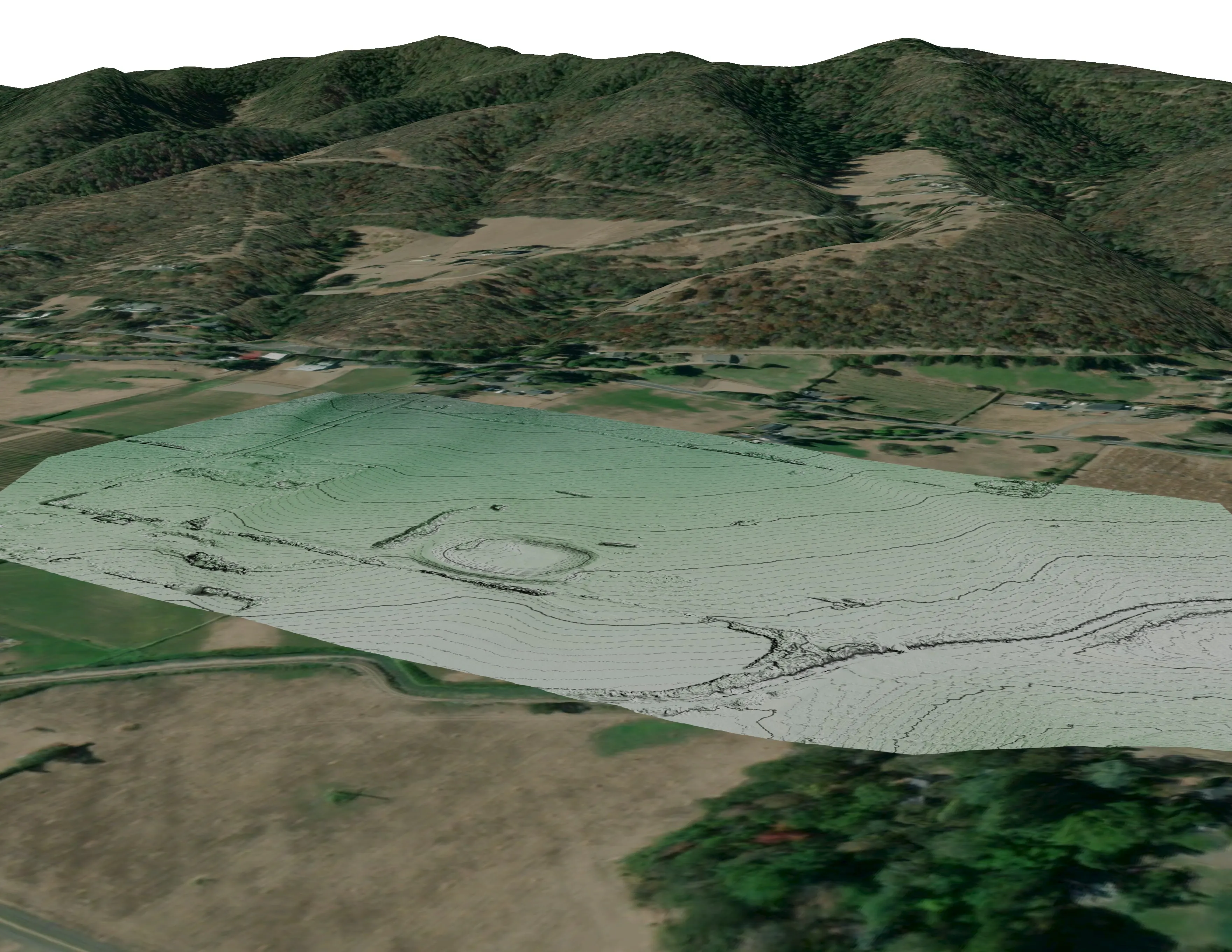
The Tyee Ridge Complex, flown in this county, and two Oregon Department of Forestry post harvest jobs that show the forestry side.
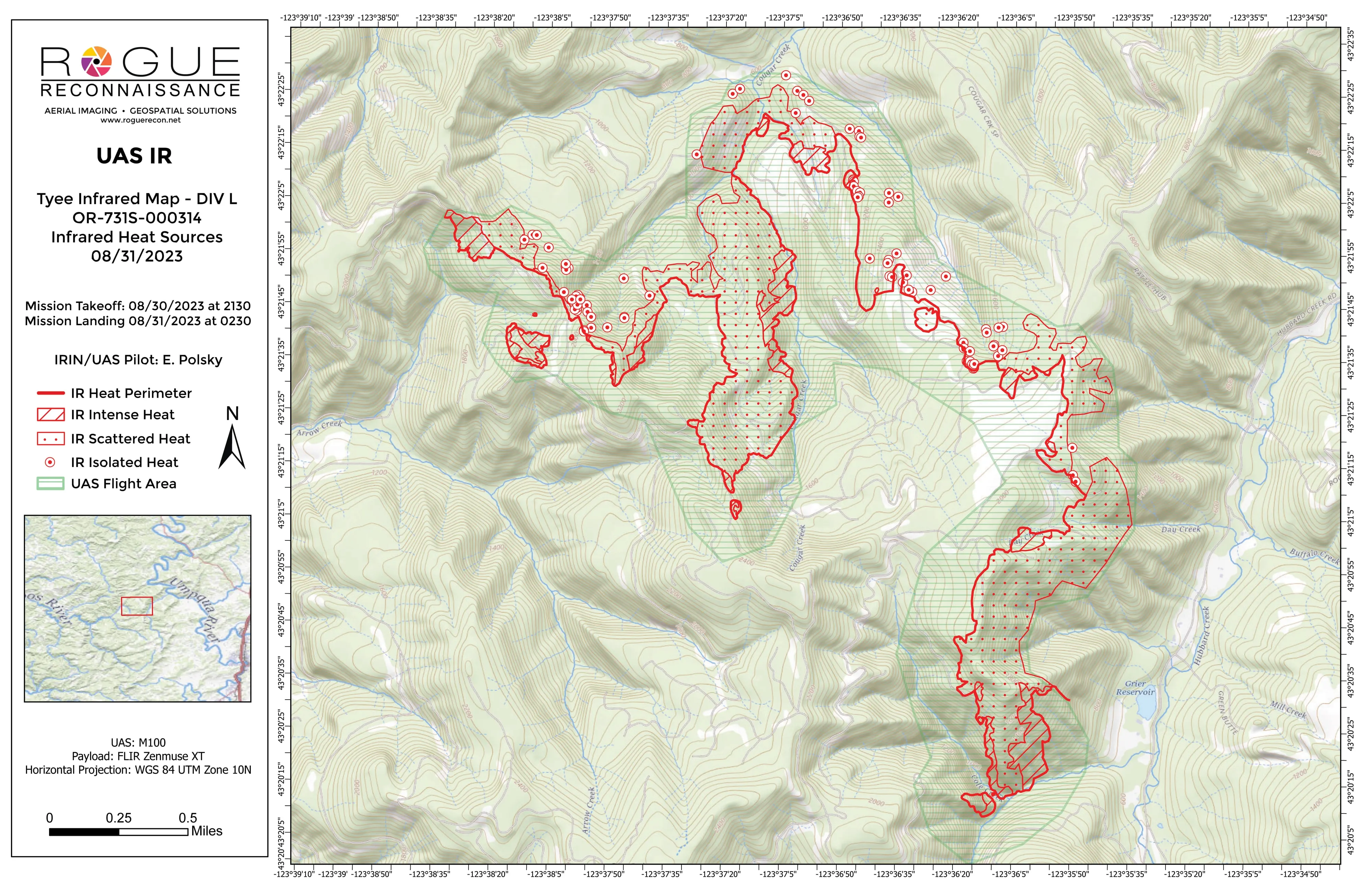
Tyee Ridge Complex
Oregon Department of Forestry
Nightly infrared mapping by division on a complex fire, including a spot fire caught outside the line.
Read the case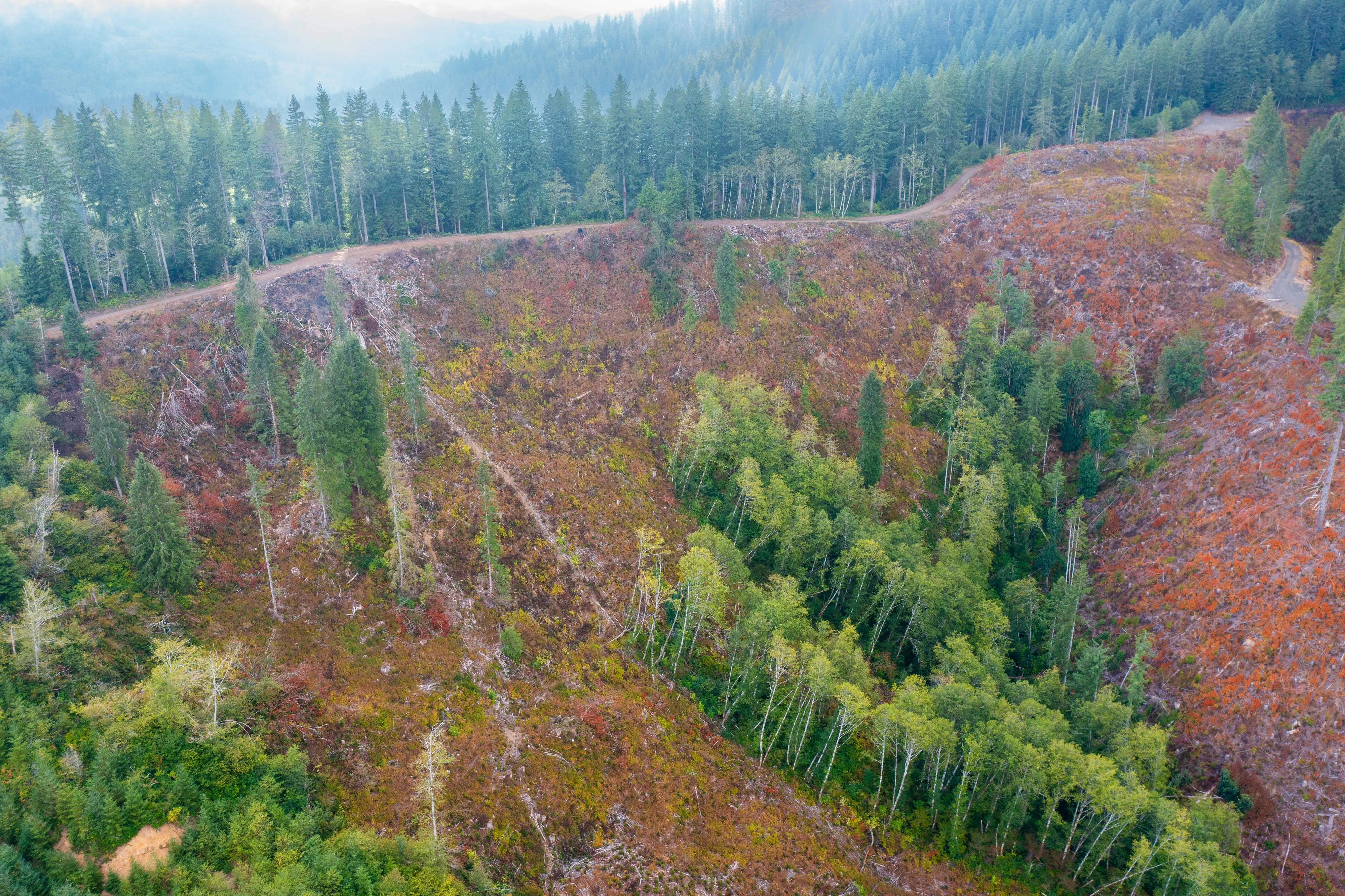
Post harvest monitoring for ODF
Oregon Department of Forestry
The 2023 ODF unit on video and in a StoryMap, with how the LiDAR, multispectral, and RGB products were built.
Read the case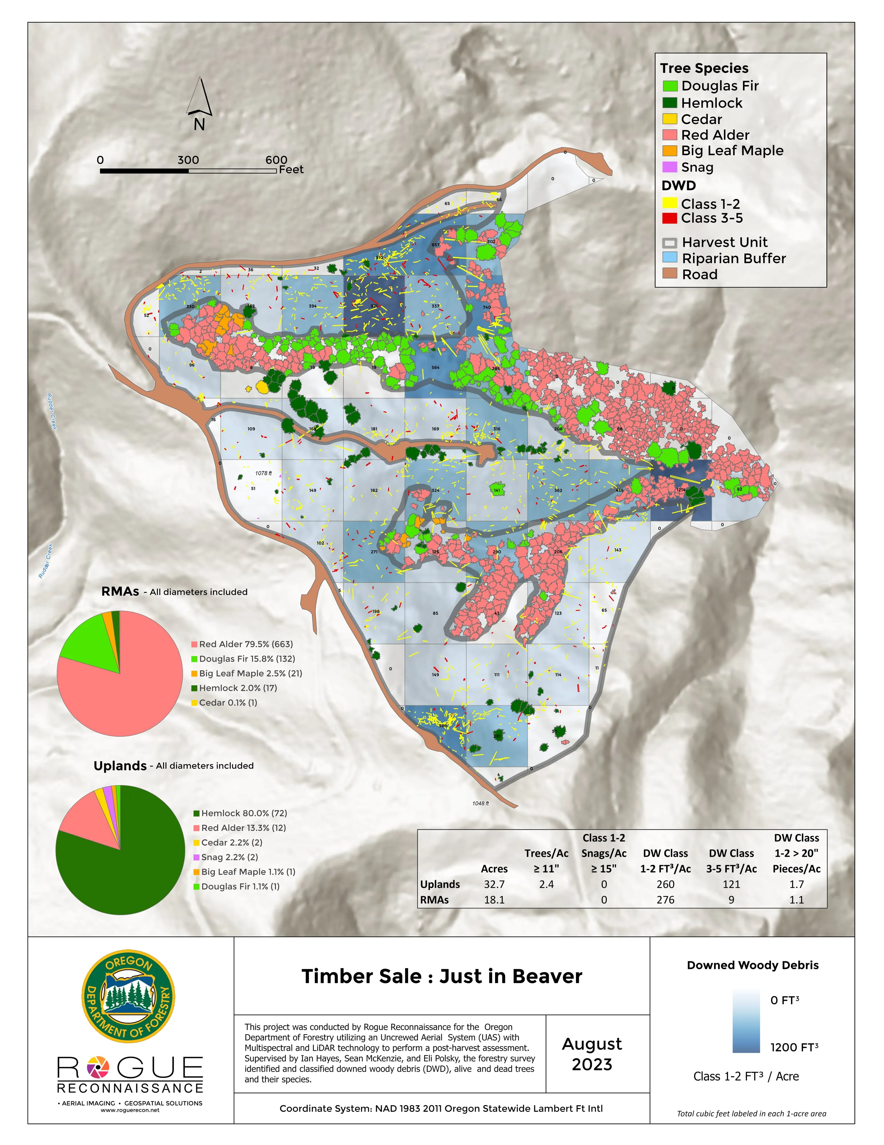
Downed woody debris, measured from the air
Oregon Department of Forestry
Every log on a post harvest unit delineated, measured, and classed by decay, with standing trees identified to species.
Read the caseThe record
Every project we have published
Forestry and trees
- Downed woody debris, measured from the air
- Finding every Oregon ash before the borer does
- At risk, declining, dieback, dead
- Post harvest monitoring for ODF
- A planting corridor through Phoenix, tree by tree
Rivers and habitat
- Riparian species and cold seeps on the Scott River
- Ten abandoned mines, bare earth under the chaparral
Wildfire fuels and planning
Night infrared on fires
- Night infrared on ODF incidents since 2019
- East Evans Creek, a season inside one fire
- Fielder Mountain, eleven nights as the heat went out
- Woodrat Mountain, from initial attack to the last check
- Interstate 5 at milepost 57, initial attack beside the freeway
- Tyee Ridge Complex
Terrain and site design
Farm planning
Douglas County: the unit, the reach, or the incident.
Tell us where the ground is and what the question is, a post harvest unit, a riparian buffer, a stand's health or a resource order, and we will answer with the flight and the products.
Email info@roguerecon.net or call 808 298 6290.