

Medford, Oregon
Medford is the address. The valley is the proving ground.
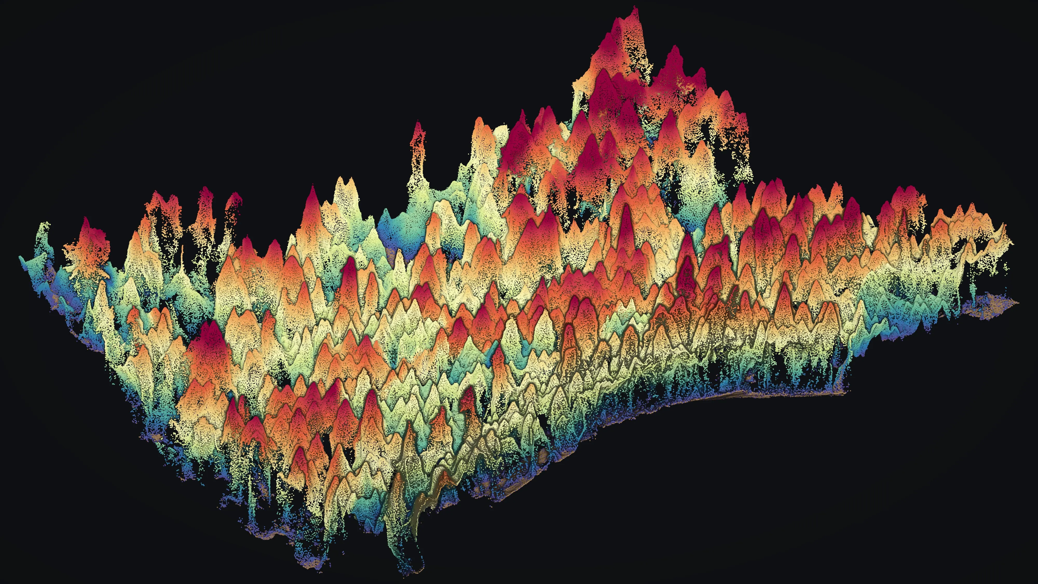
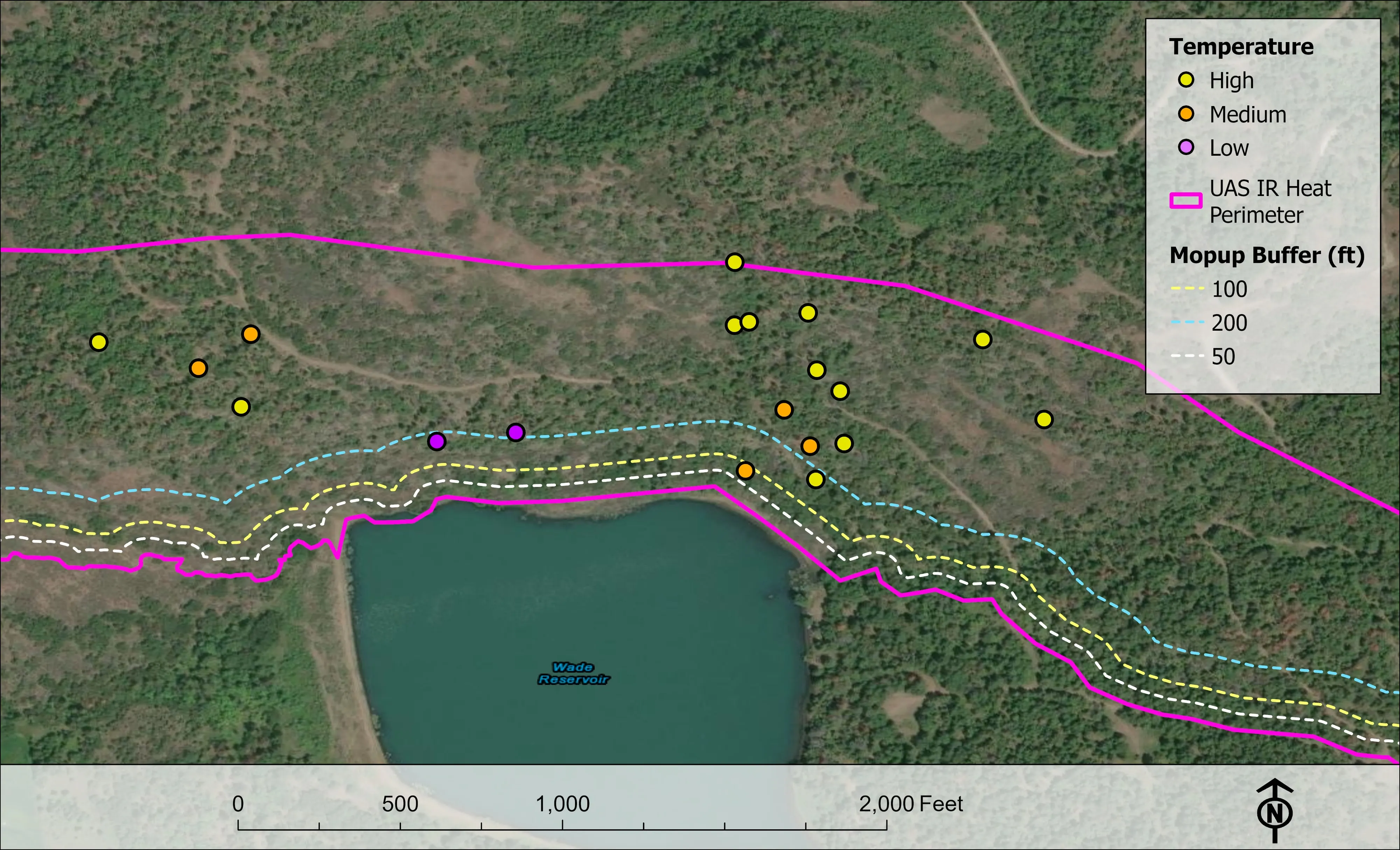
The aircraft, the sensors and the processing desk live here. Most of what this site shows was flown within an hour of town: the Ashland wildfire plan, the Phoenix planting corridor, the Colver Road pilot, four 2026 fire seasons' worth of night infrared.
The ground
Medford and Jackson County
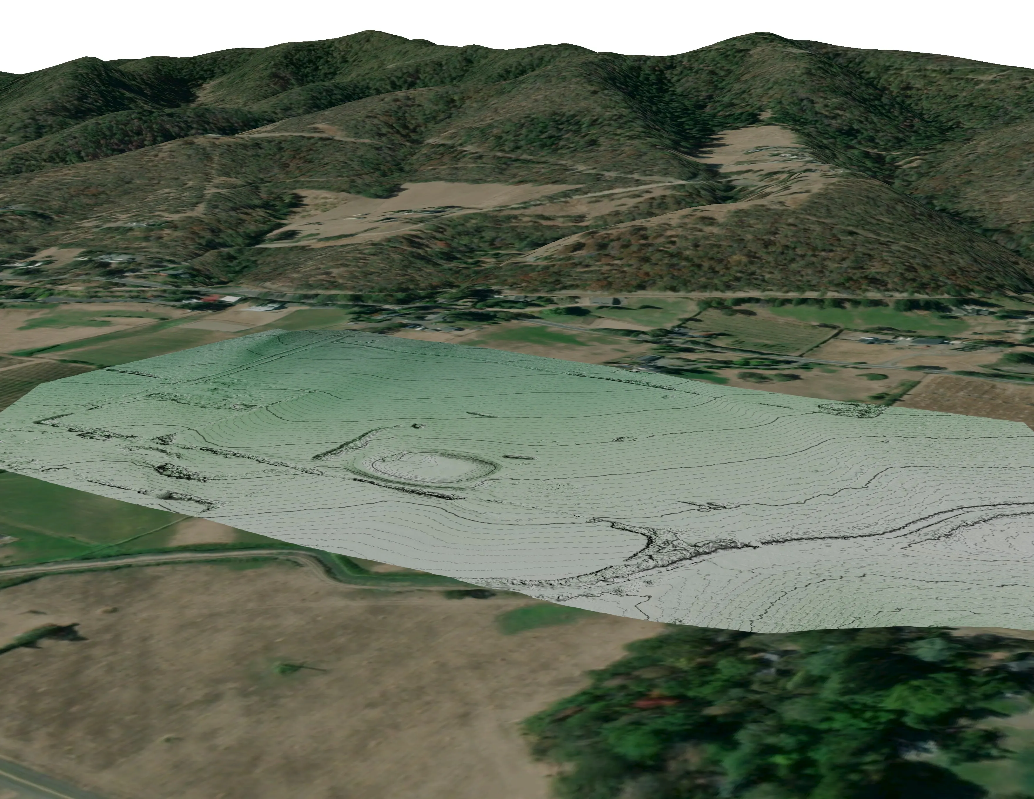
The Rogue Valley floor is orchards, vineyards, hay ground and the towns strung along Bear Creek and Interstate 5. Oak woodland and chaparral climb the foothills, Douglas fir and mixed conifer take over above, and the whole arrangement is a wildland urban interface: the 2020 Almeda fire ran from Ashland to Phoenix and Talent along the creek. Pear country still, with the Table Rocks and the Rogue River itself to the north.
Who buys mapping here
- City of Medford: Parks and Recreation, Public Works, the GIS group
- Jackson County: Emergency Management, Roads and Parks, Development Services
- Medford Water Commission and the Big Butte Springs watershed
- Jackson County Fire Districts 3 and 5, Medford Fire, and the Oregon Department of Forestry's Southwest Oregon District
- Rogue River Watershed Council, Jackson Soil and Water Conservation District, Rogue Valley Council of Governments
- Pacific Power's line corridors across the valley
- The BLM Medford District and the Rogue River Siskiyou National Forest
- Orchardists, vineyard managers and the engineers and architects building on the hillsides
Getting there
From Medford
No mobilisation. A Medford job is flown the morning the weather allows, and a Rogue Valley job the same week.
The public lidar
What exists, and what it misses
DOGAMI's lidar covers the valley, flown in the early 2010s for terrain. It still answers slope and drainage questions well. It cannot say which trees died this summer, where the ladder fuels are under this season's canopy, or how high the planting in a two year old corridor has grown, which is the work we fly.
What we would fly
The lanes that fit Medford
Nearest work
Three of the valley jobs, all within twenty minutes of the office.
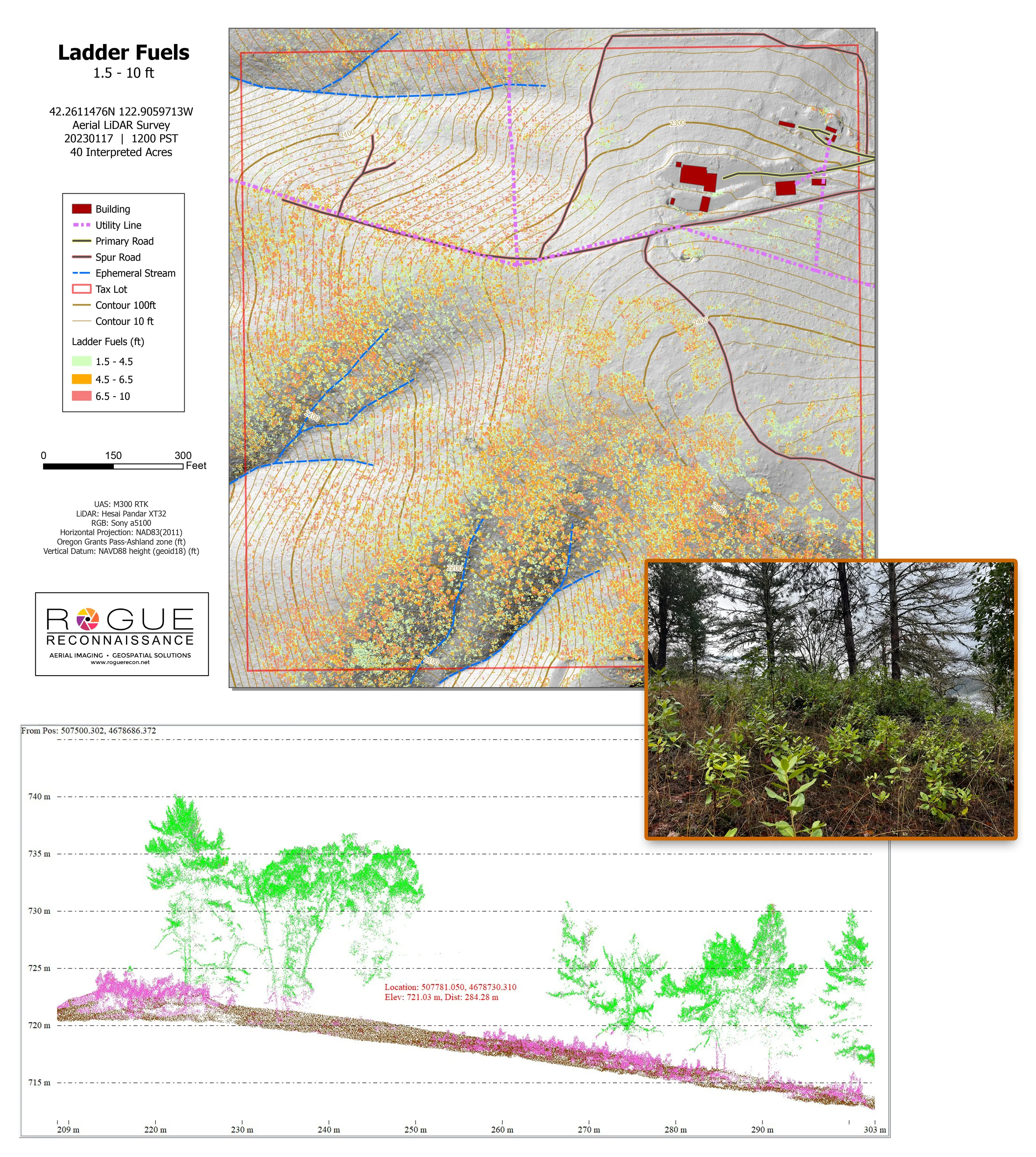
Citywide LiDAR for the Ashland CWPP
City of Ashland
Citywide drone LiDAR that gave the 2025 Ashland Community Wildfire Protection Plan its ladder fuel and structure exposure numbers.
Read the case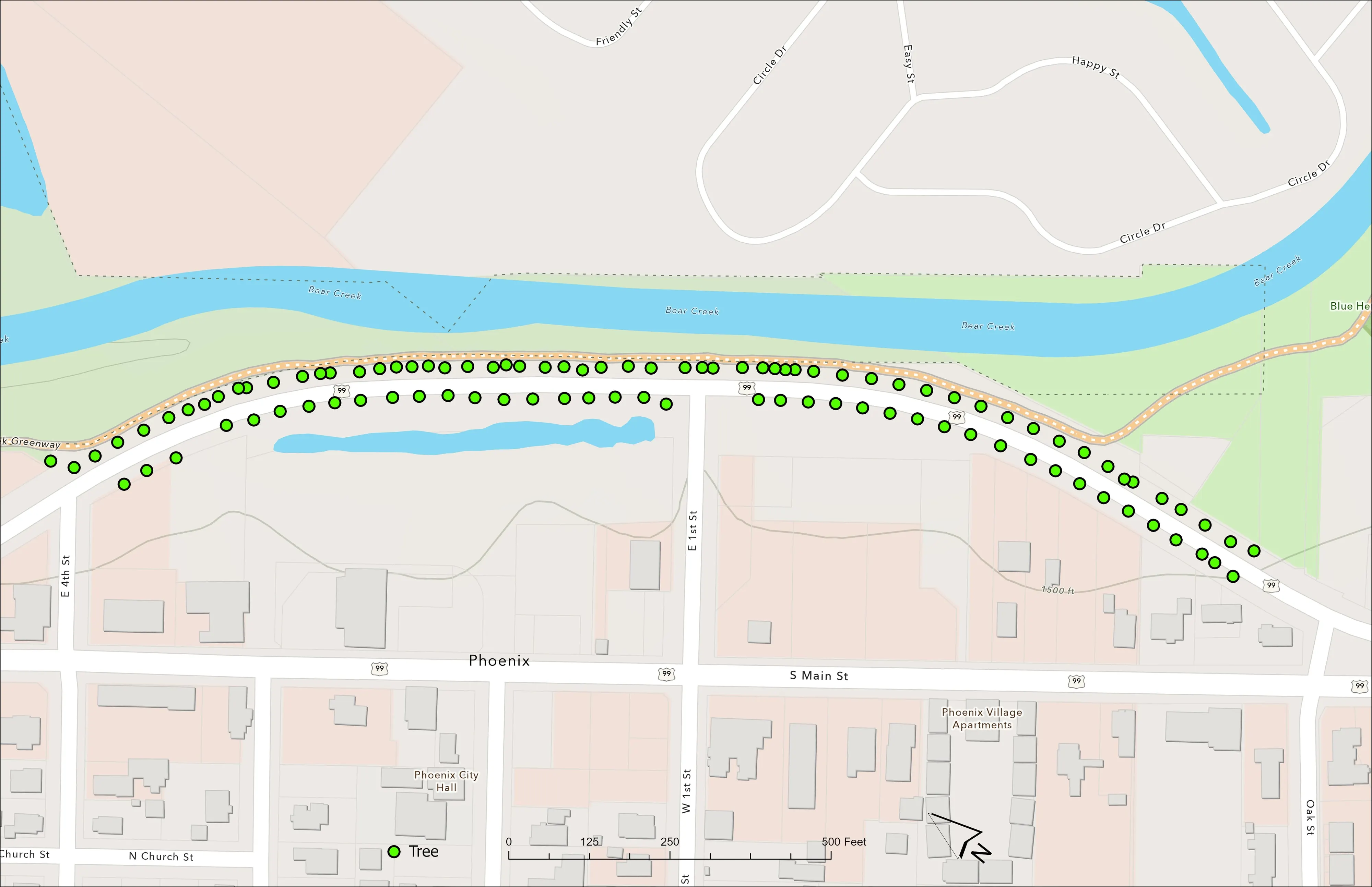
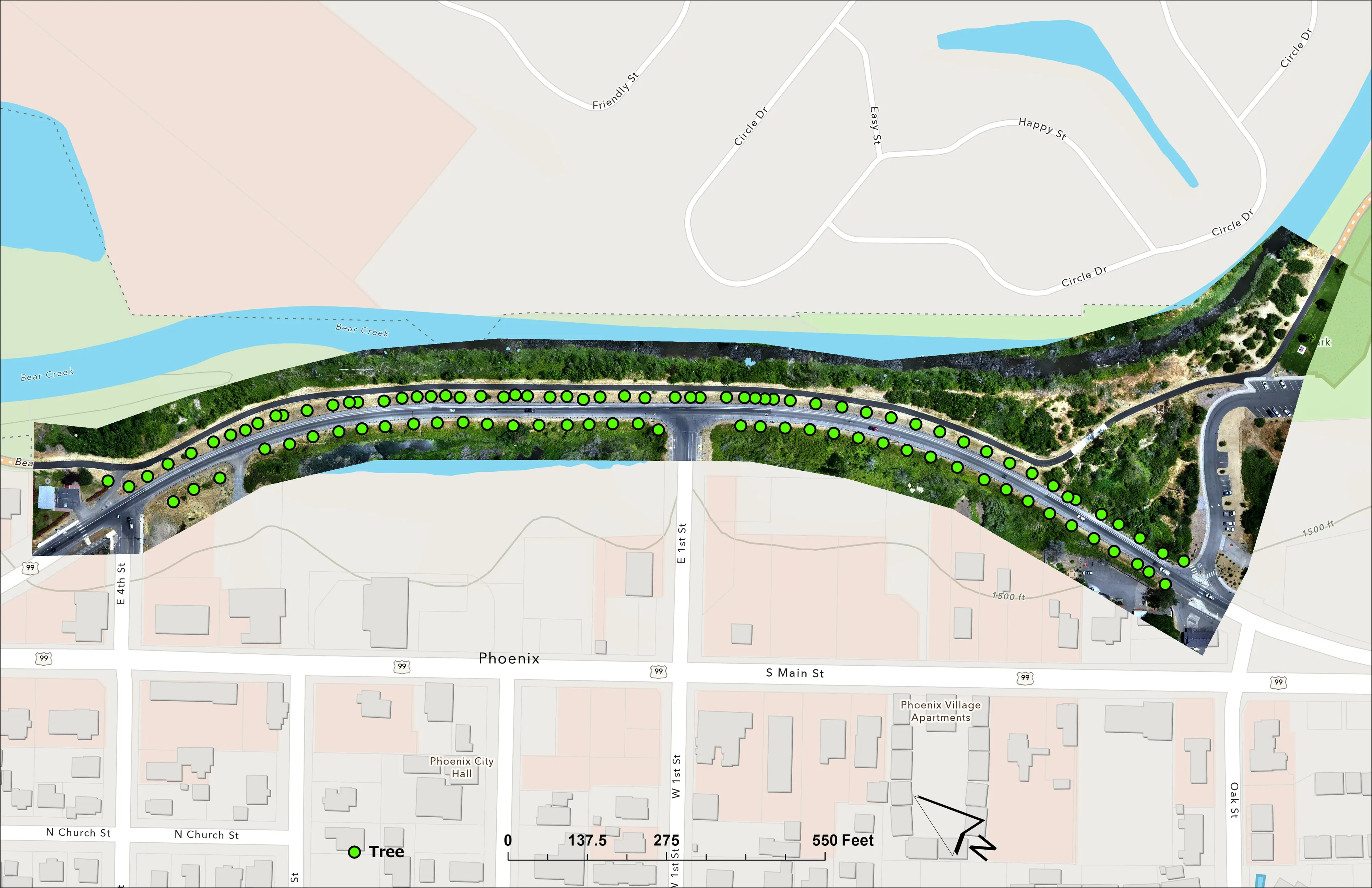
A planting corridor through Phoenix, tree by tree
City of Phoenix
The year one record for 98 trees the city planted where the Almeda fire burned through Phoenix, from drone LiDAR and RGB flown 65 days after planting.
Read the case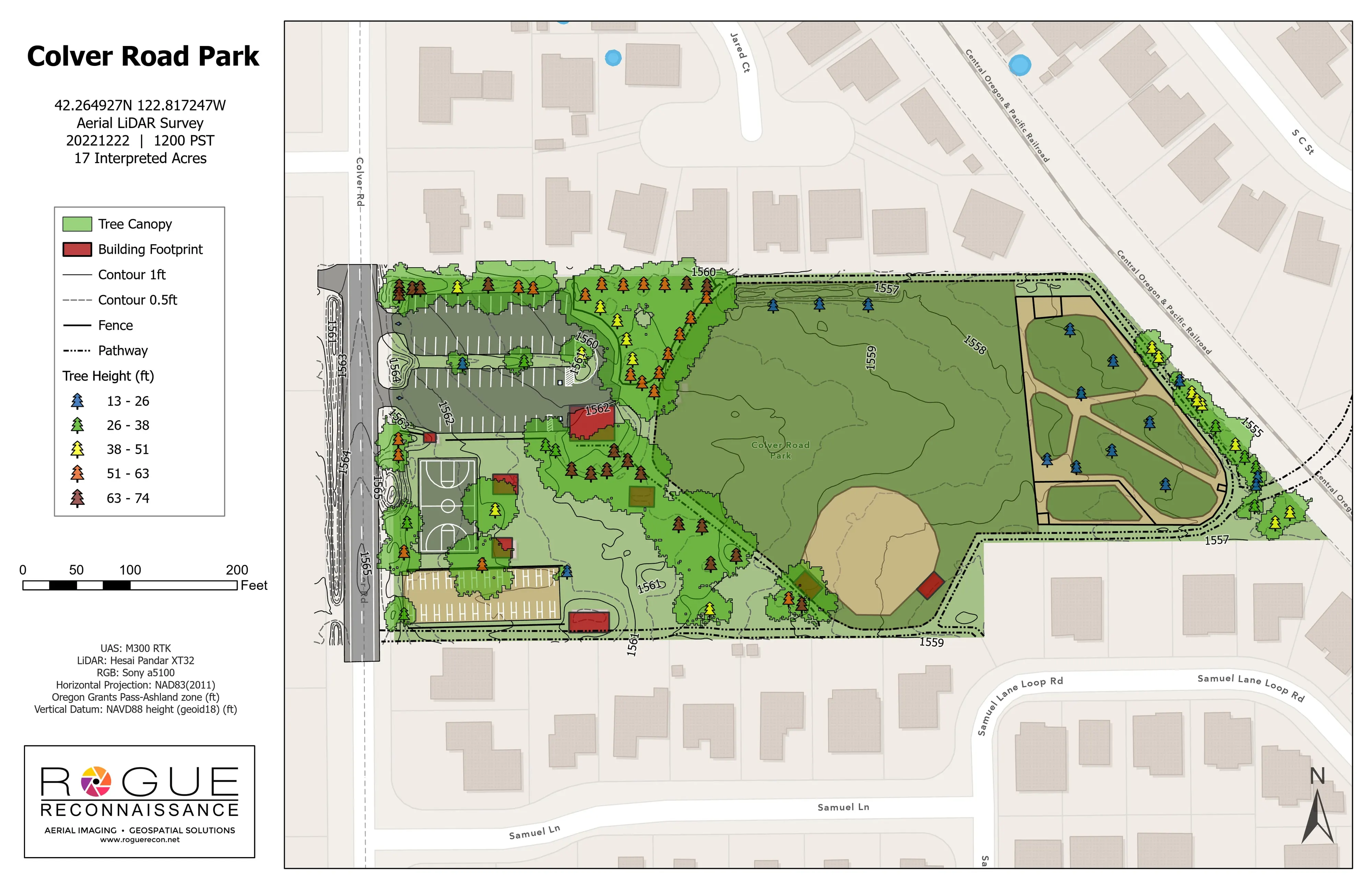
Colver Road Park, the LiDAR pilot
Rogue Reconnaissance pilot project
Our own pilot on a public park. Planimetrics, contours, tree canopy, and tree heights from drone LiDAR on one sheet, checked on the ground.
Read the caseThe record
Every project we have published
Forestry and trees
- Downed woody debris, measured from the air
- Finding every Oregon ash before the borer does
- At risk, declining, dieback, dead
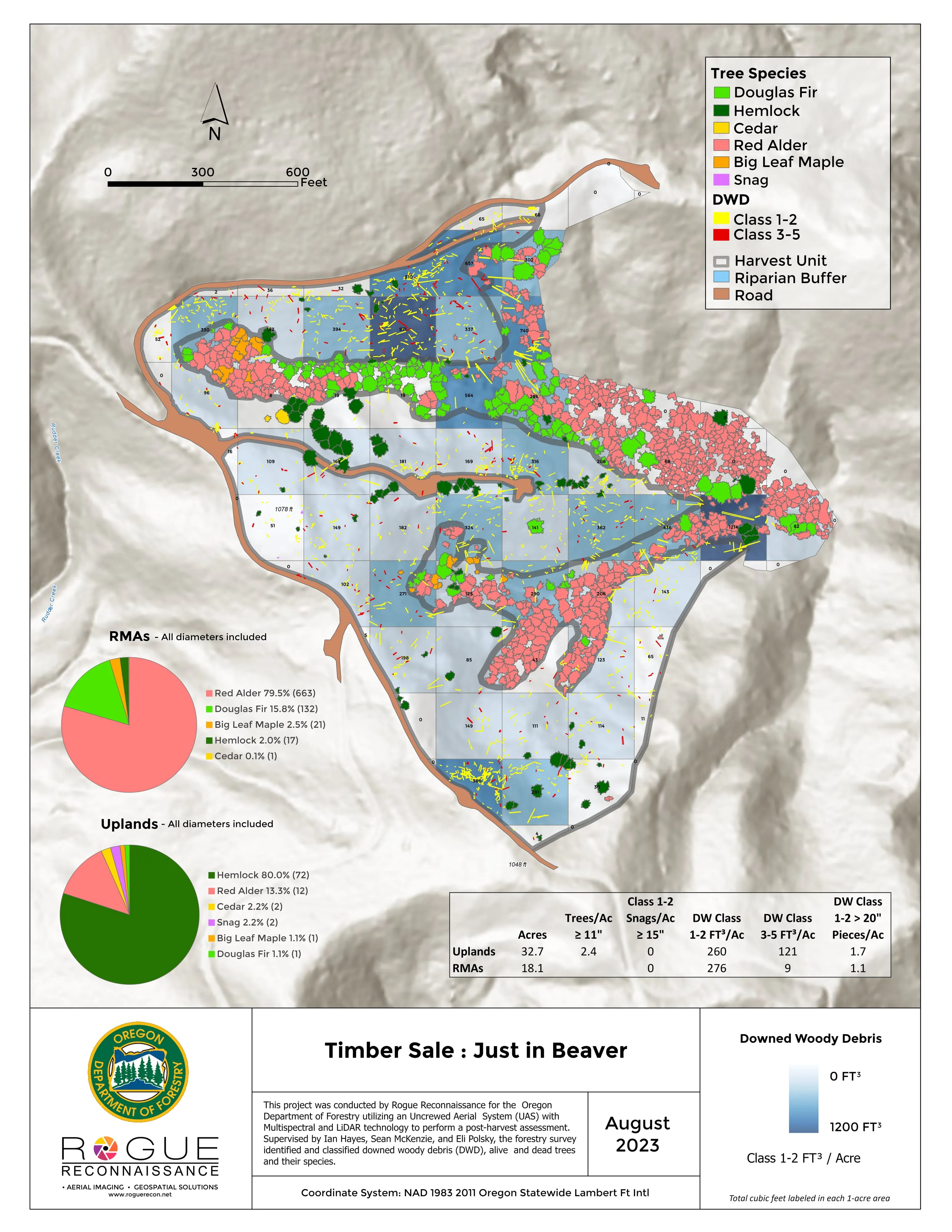
- Post harvest monitoring for ODF
- A planting corridor through Phoenix, tree by tree
Rivers and habitat
- Riparian species and cold seeps on the Scott River
- Ten abandoned mines, bare earth under the chaparral
Wildfire fuels and planning
Night infrared on fires
- Night infrared on ODF incidents since 2019
- East Evans Creek, a season inside one fire
- Fielder Mountain, eleven nights as the heat went out
- Woodrat Mountain, from initial attack to the last check
- Interstate 5 at milepost 57, initial attack beside the freeway
- Tyee Ridge Complex
Terrain and site design
Farm planning
A Medford job starts with a phone call and a boundary.
Tell us the ground and the question. If it is in the valley we can usually look at it from the air this week.
Email info@roguerecon.net or call 808 298 6290.