

Beaverton, Oregon
A city already treating its ash, and a park district with a lot of trees.
Beaverton has emerald ash borer in the county, ash street trees under regular inspection, and a park district with natural areas from Cooper Mountain to the Fanno Creek greenway. A crown by crown inventory from the air is how a city that size keeps up.
The ground
Beaverton and Washington County
Beaverton fills the ground between the West Hills and the Tualatin River, cut by Fanno Creek and its tributaries and ringed by the park district's natural areas: Cooper Mountain's oak and prairie to the south west, the Tualatin Hills Nature Park in the middle of the city, the creek greenways everywhere between. The street trees are a city program, the parks are a district, and both have ash.
Who buys mapping here
- City of Beaverton: Public Works, the Urban Forestry program, the GIS group
- Tualatin Hills Park and Recreation District and its natural resources staff
- Washington County and Clean Water Services
- Tualatin Valley Fire and Rescue
- Tualatin Soil and Water Conservation District and the Tualatin River Watershed Council
- Portland General Electric
- Homeowner associations on Cooper Mountain and in the West Hills neighbourhoods
- The corporate campuses with grounds to manage
Getting there
From Medford
Four and a half hours by road from Medford, an hour by air to Portland; Beaverton rides on the same trip as Hillsboro and the city.
The public lidar
What exists, and what it misses
The metro lidar covers Beaverton well for terrain and for canopy cover as a percentage. What a street tree program and a park district need next is the tree list: each crown with its species, height and condition, updated often enough to catch a beetle's first season. That is a leaf on flight in the right month and a classification checked on the ground, not a reprocessing of old data.
What we would fly
The lanes that fit Beaverton
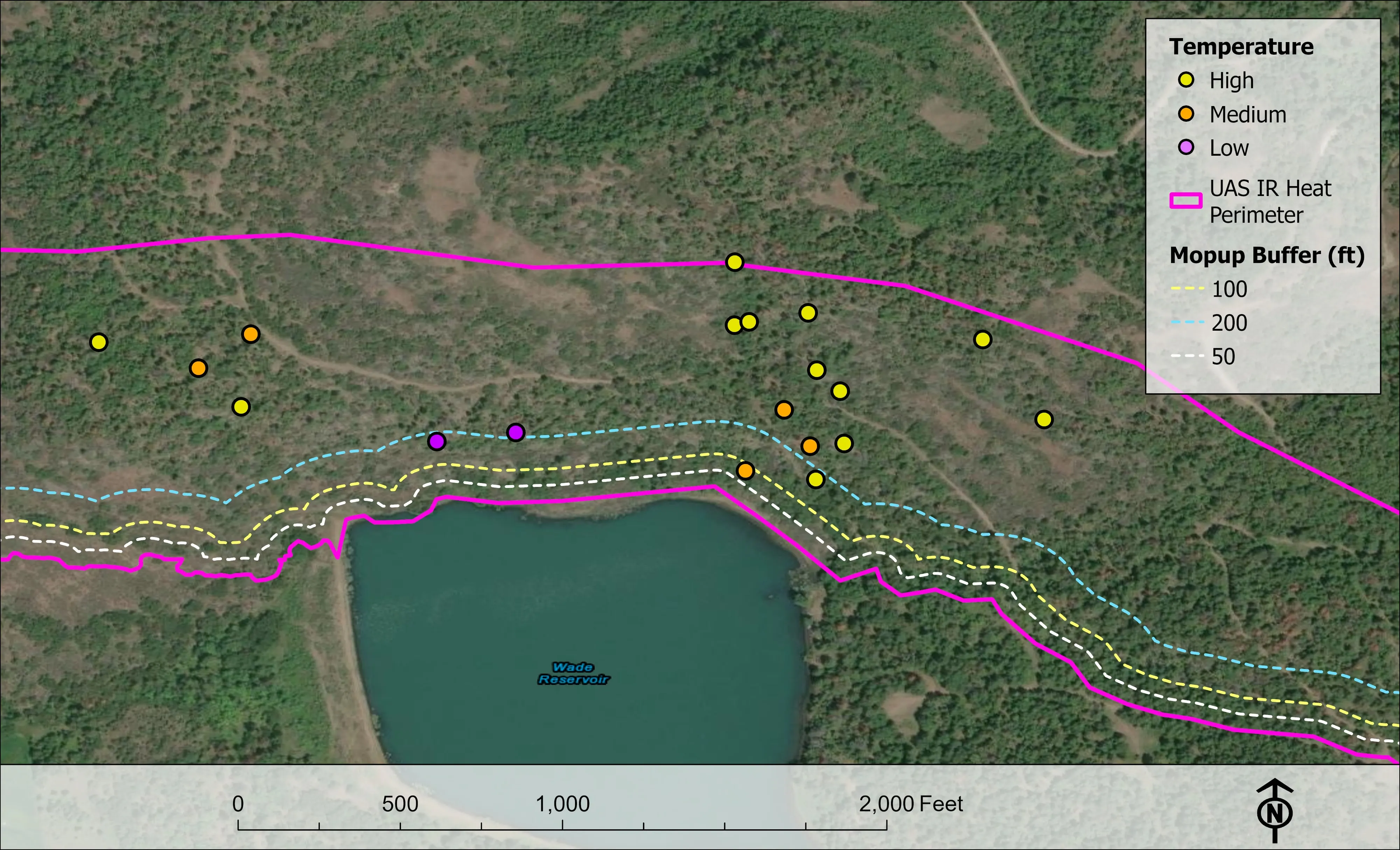
Nearest work
Nothing flown in Beaverton yet; the closest proof is the crown by crown ash inventory in Eugene, a watershed of conifers classed by health, and a park mapped as a planimetrics pilot.
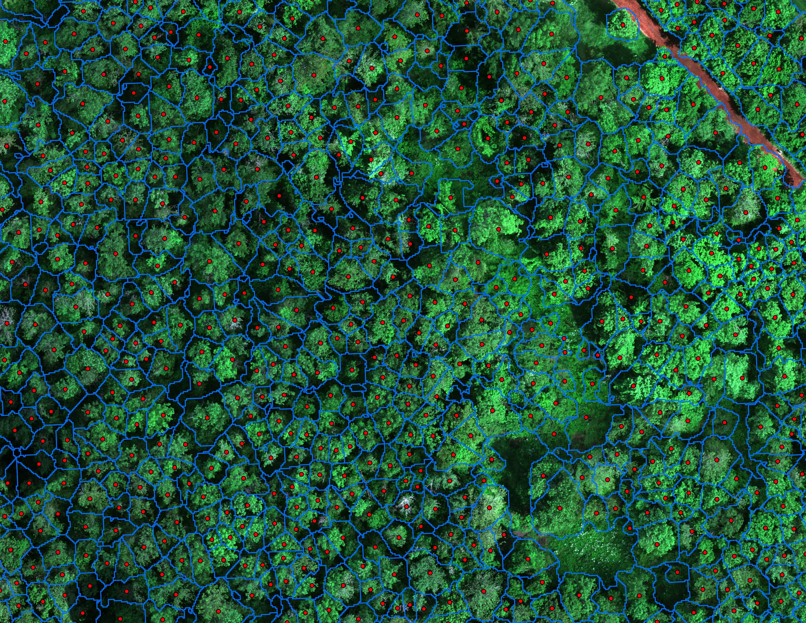
Finding every Oregon ash before the borer does
City of Eugene, Parks and Open Space
12,632 crowns classified across 390 acres of riparian canopy. 5,261 of them Oregon ash.
Read the case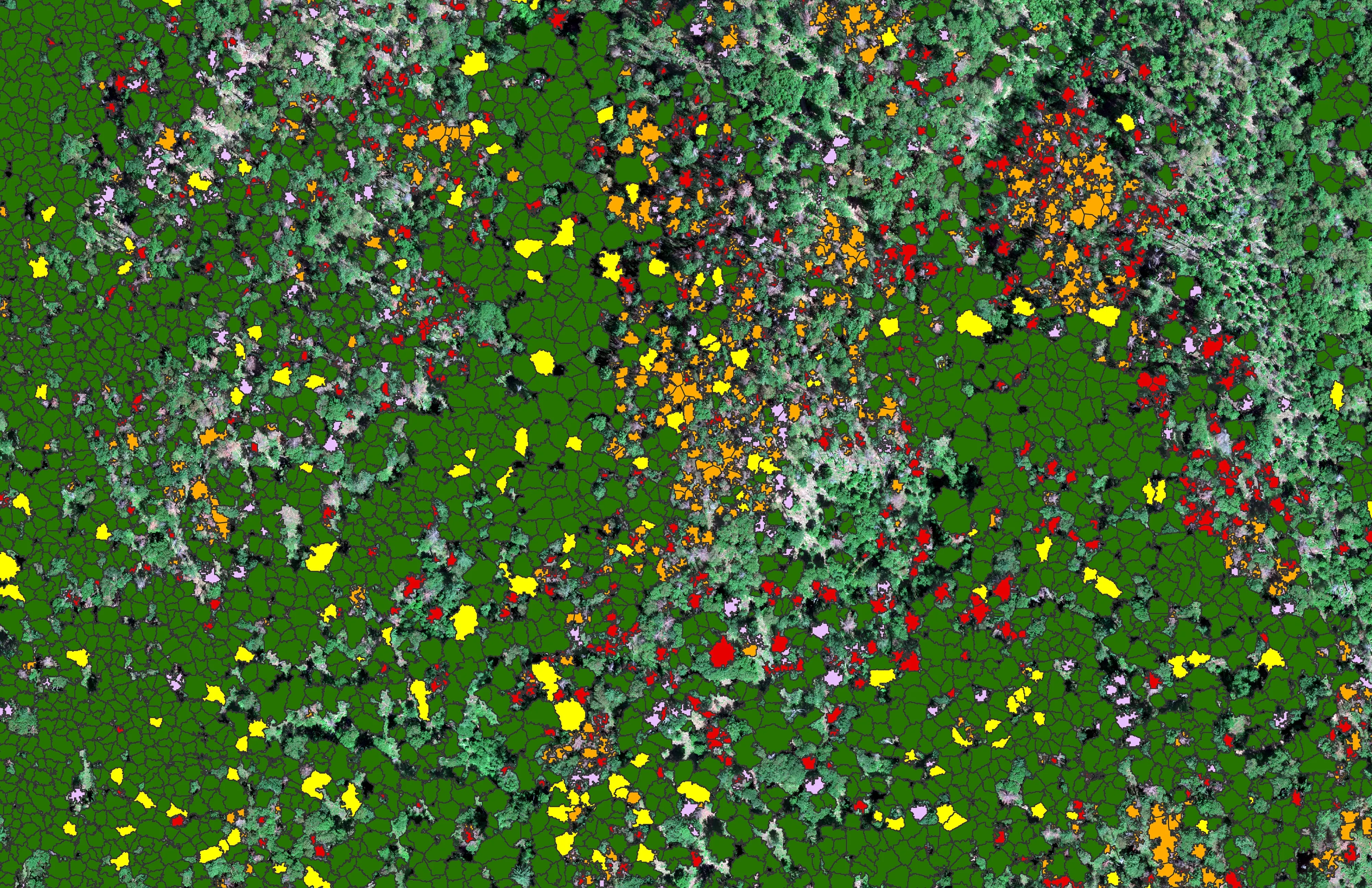
At risk, declining, dieback, dead
City of Ashland
About 30,000 Douglas fir crowns classed by health across the city's watershed lands, so the city could see the die off and act on it.
Read the case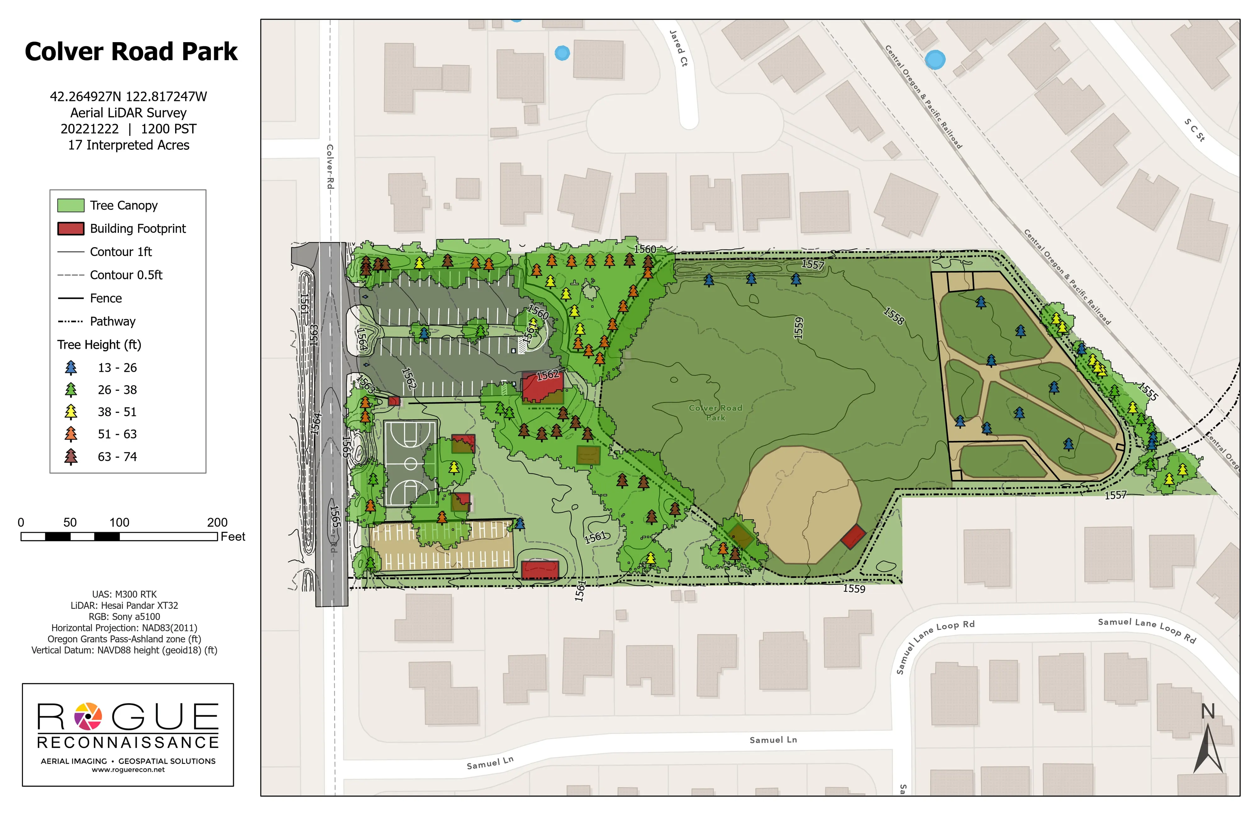
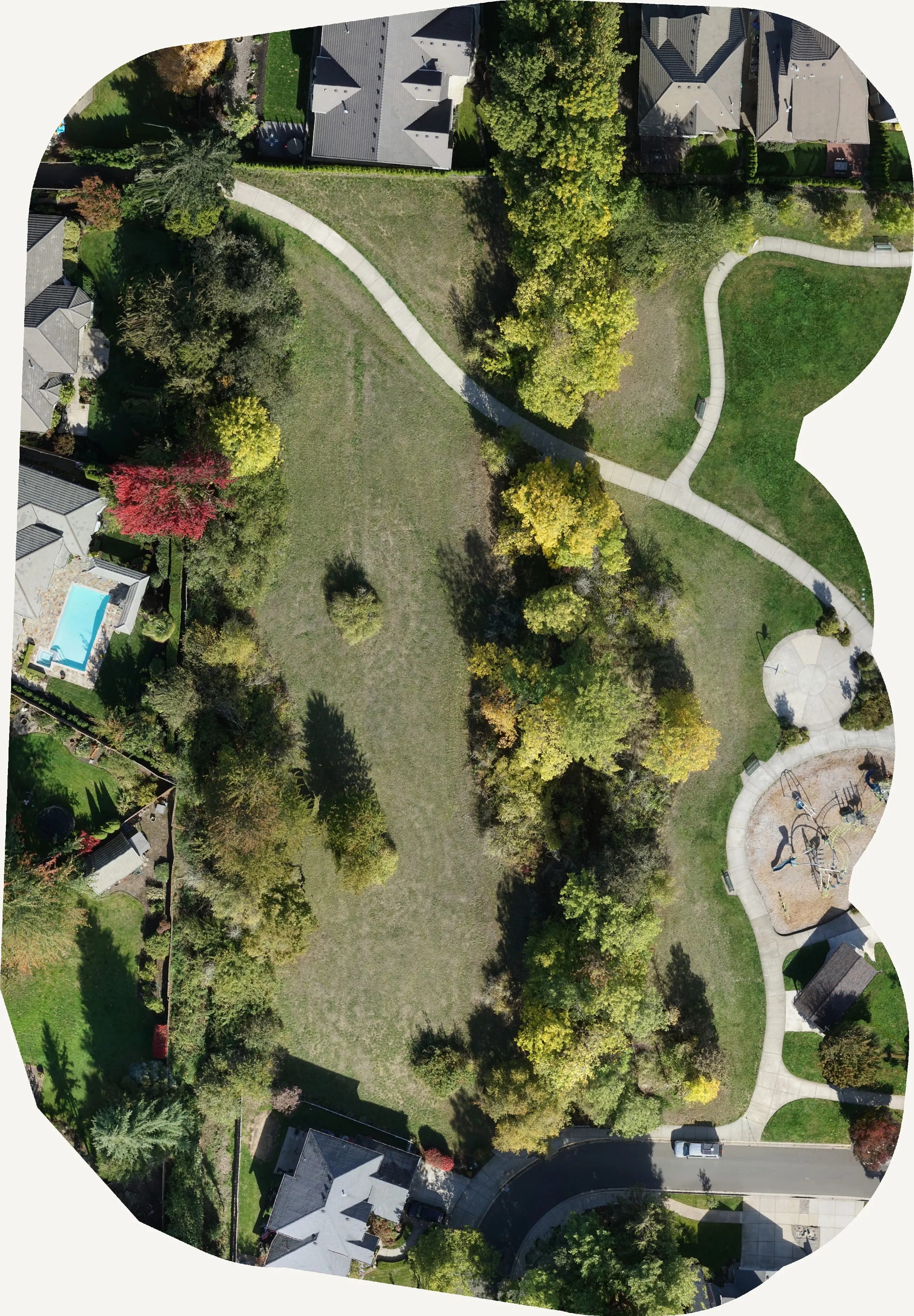
Colver Road Park, the LiDAR pilot
Rogue Reconnaissance pilot project
Our own pilot on a public park. Planimetrics, contours, tree canopy, and tree heights from drone LiDAR on one sheet, checked on the ground.
Read the caseThe record
Every project we have published
Forestry and trees
- Downed woody debris, measured from the air
- Finding every Oregon ash before the borer does
- At risk, declining, dieback, dead
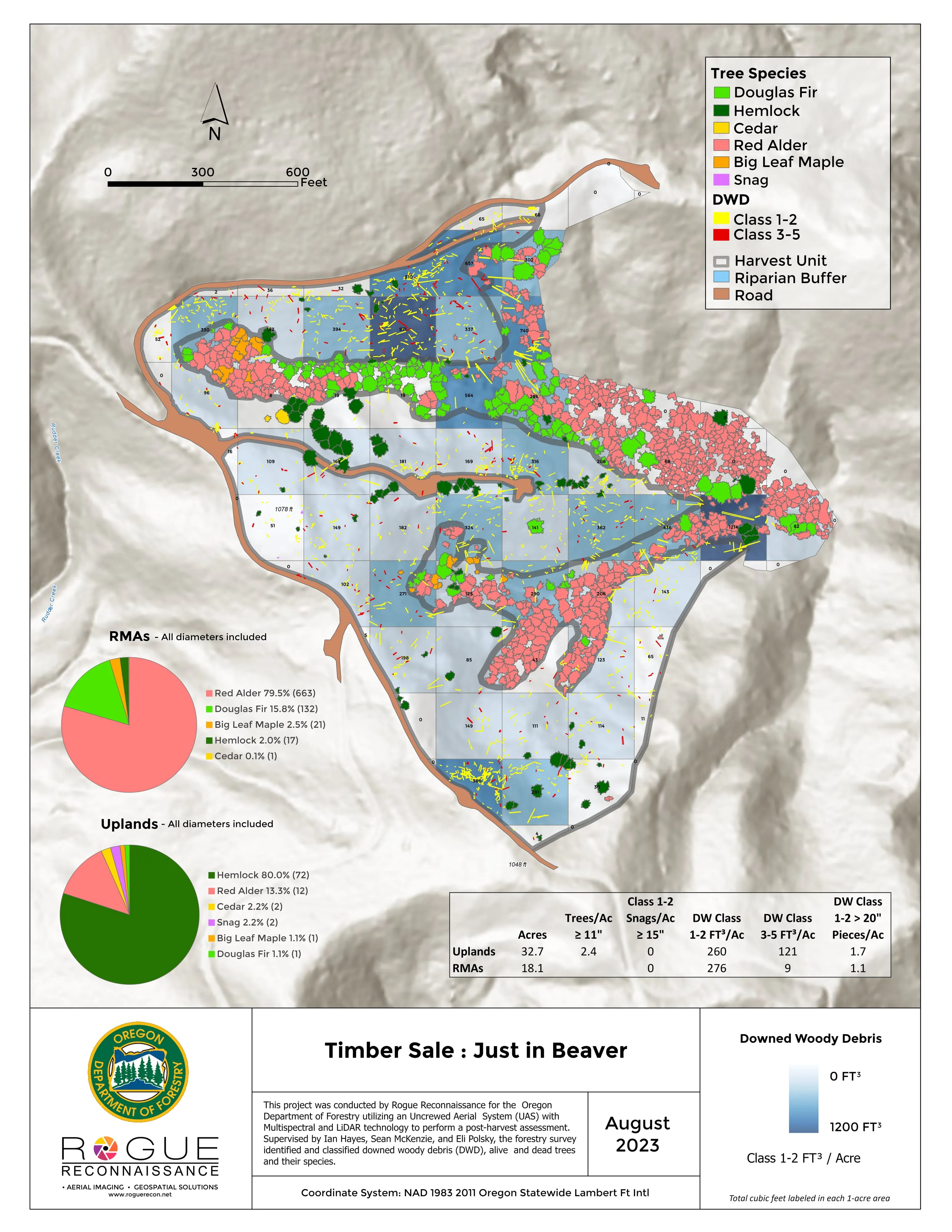
- Post harvest monitoring for ODF
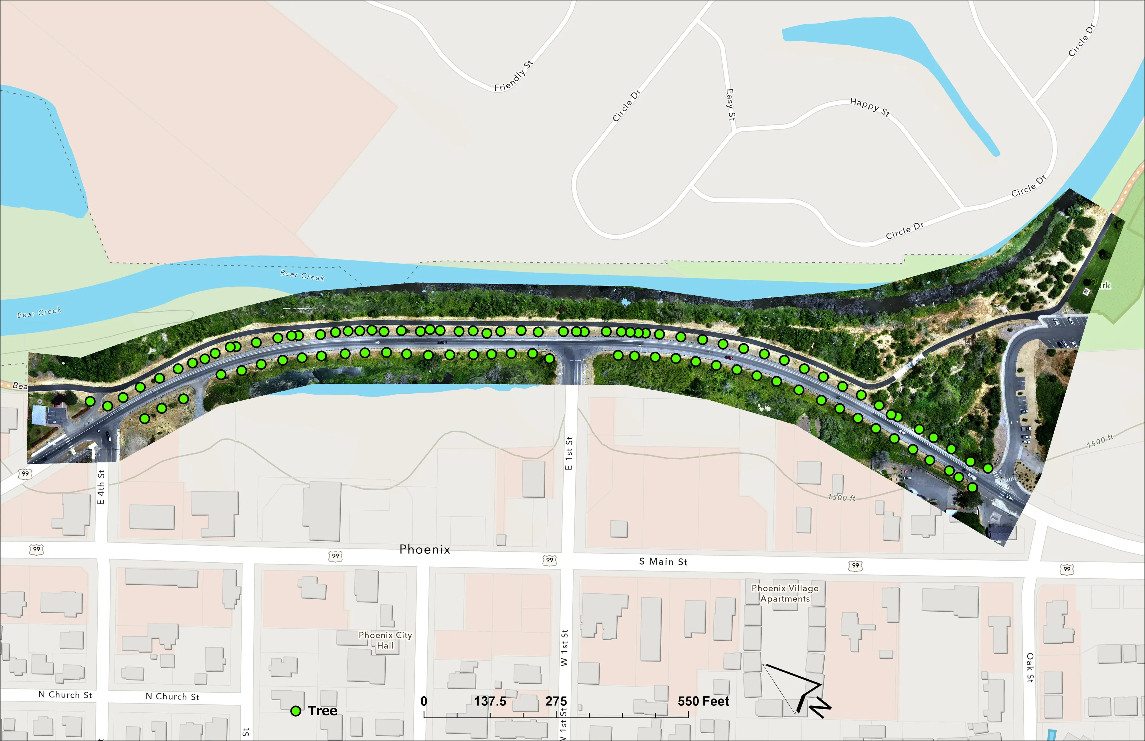
- A planting corridor through Phoenix, tree by tree
Rivers and habitat
- Riparian species and cold seeps on the Scott River
- Ten abandoned mines, bare earth under the chaparral
Wildfire fuels and planning
Night infrared on fires
- Night infrared on ODF incidents since 2019
- East Evans Creek, a season inside one fire
- Fielder Mountain, eleven nights as the heat went out
- Woodrat Mountain, from initial attack to the last check
- Interstate 5 at milepost 57, initial attack beside the freeway
- Tyee Ridge Complex
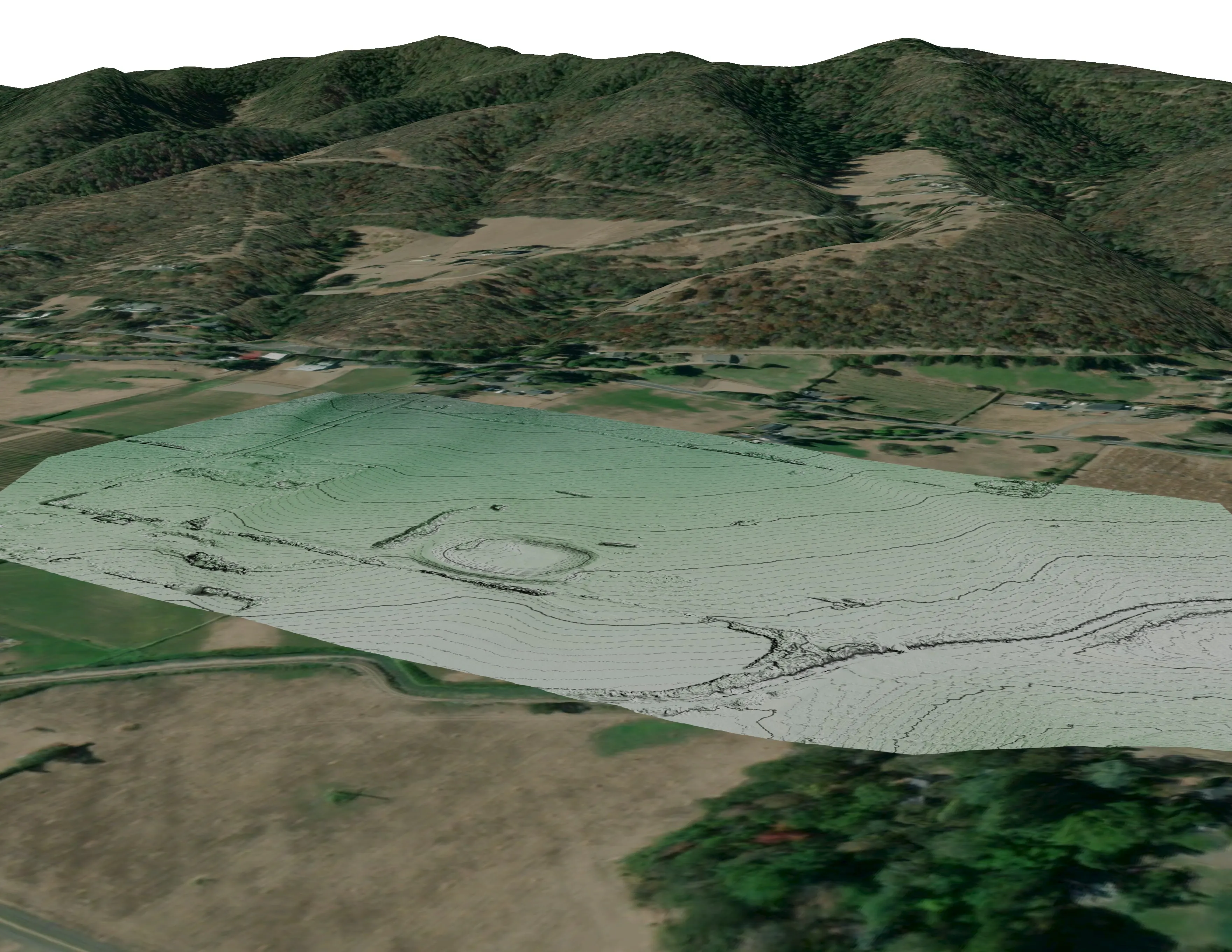
Terrain and site design
Farm planning
Beaverton: the street trees and the parks, counted together.
Say which program is asking, the city or the district, and what the council needs to see. We will plan the flight for the right month.
Email info@roguerecon.net or call 808 298 6290.