

Lawton, Oklahoma
The mountains in the prairie, where fire is managed on purpose.
Lawton sits under the Wichita Mountains, a granite range in the prairie where the wildlife refuge and the Army burn on purpose and fight fire on windy days, and where the plains around it are wheat and cattle to every horizon. Fire infrared, fuels and farm planning are the flights that fit here.
The ground
Lawton and Comanche County
The city lies at the foot of the Wichita Mountains with Fort Sill on its north side and the Wichita Mountains Wildlife Refuge beyond, sixty thousand acres of granite, mixed grass prairie, bison and longhorn and post oak in the draws, managed with prescribed fire. South and east the land is wheat, cotton and cattle on the red plains toward the Red River; Cache Creek and East Cache Creek drain the town. Medicine Park sits at the mountains' edge.
Who buys mapping here
- City of Lawton: Public Works, Parks and Recreation, Emergency Management, the GIS group
- Comanche County: Emergency Management, the county commissioners' engineering, the rural fire departments
- Fort Sill's environmental and natural resources programs and the Directorate of Public Works
- The Wichita Mountains Wildlife Refuge and its fire program
- Cotton Electric Cooperative and Public Service Company of Oklahoma
- The Comanche Nation, the Kiowa Tribe and the Apache Tribe of Oklahoma and their land programs
- Cameron University; the Comanche County Conservation District
- Wheat, cotton and cattle operations across the county and the Red River valley
Getting there
From Medford
Lawton is ninety minutes south west of Oklahoma City on Interstate 44, a day's work from the capital on the Oklahoma trip.
The public lidar
What exists, and what it misses
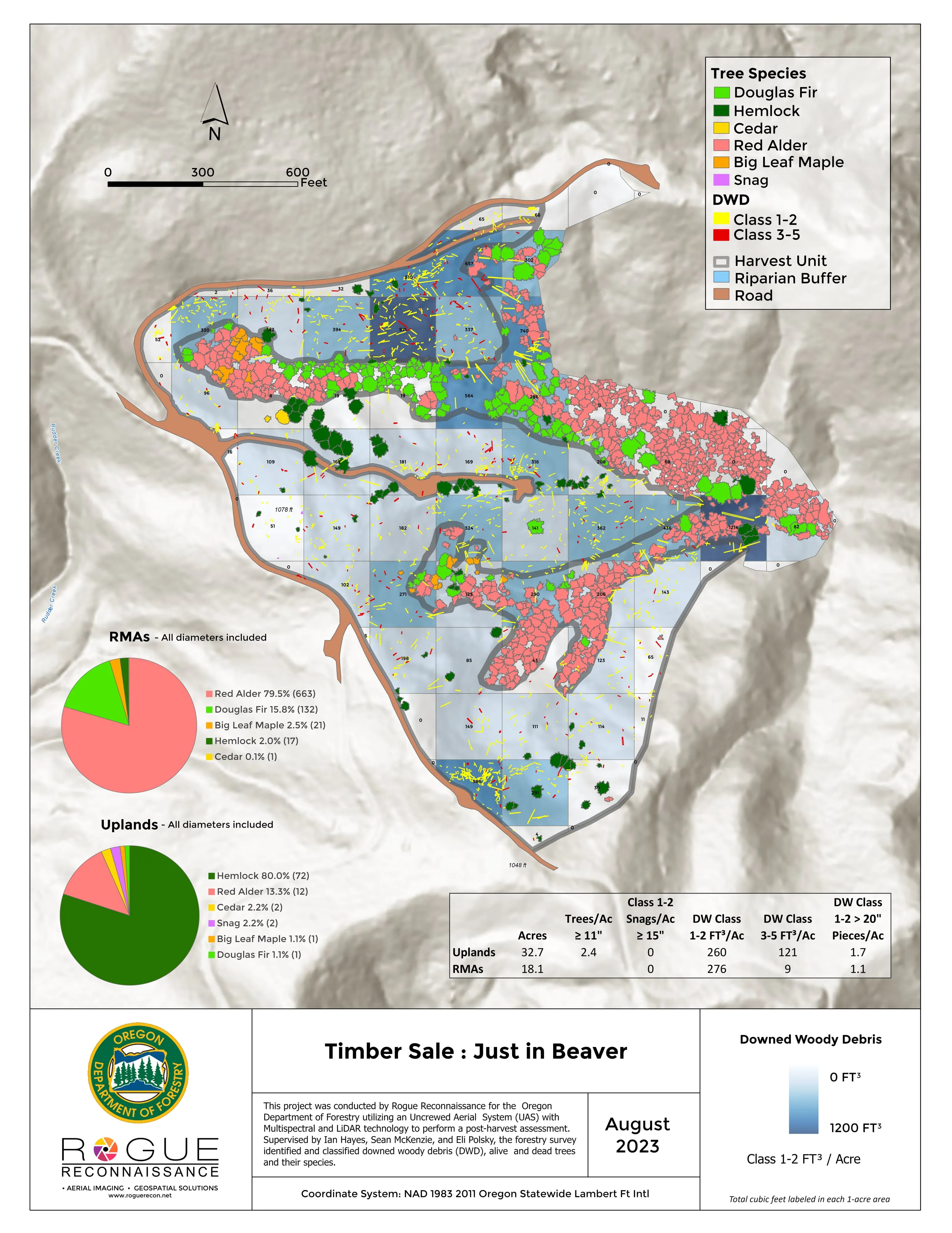
Comanche County has federal lidar and the base and the refuge hold their own data. A prescribed burn unit before and after, a wildfire's footprint, a wheat field's drainage or a cooperative line across the plains each want a current flight at the scale of the unit, the field or the span.
What we would fly
The lanes that fit Lawton
Wildland fire infraredFuels mapping and CWPP supportFarm planning
Nearest work
South west Oklahoma waits for the aircraft. The record that applies: two 2026 incidents flown night after night, and a farm planned on drone LiDAR terrain.
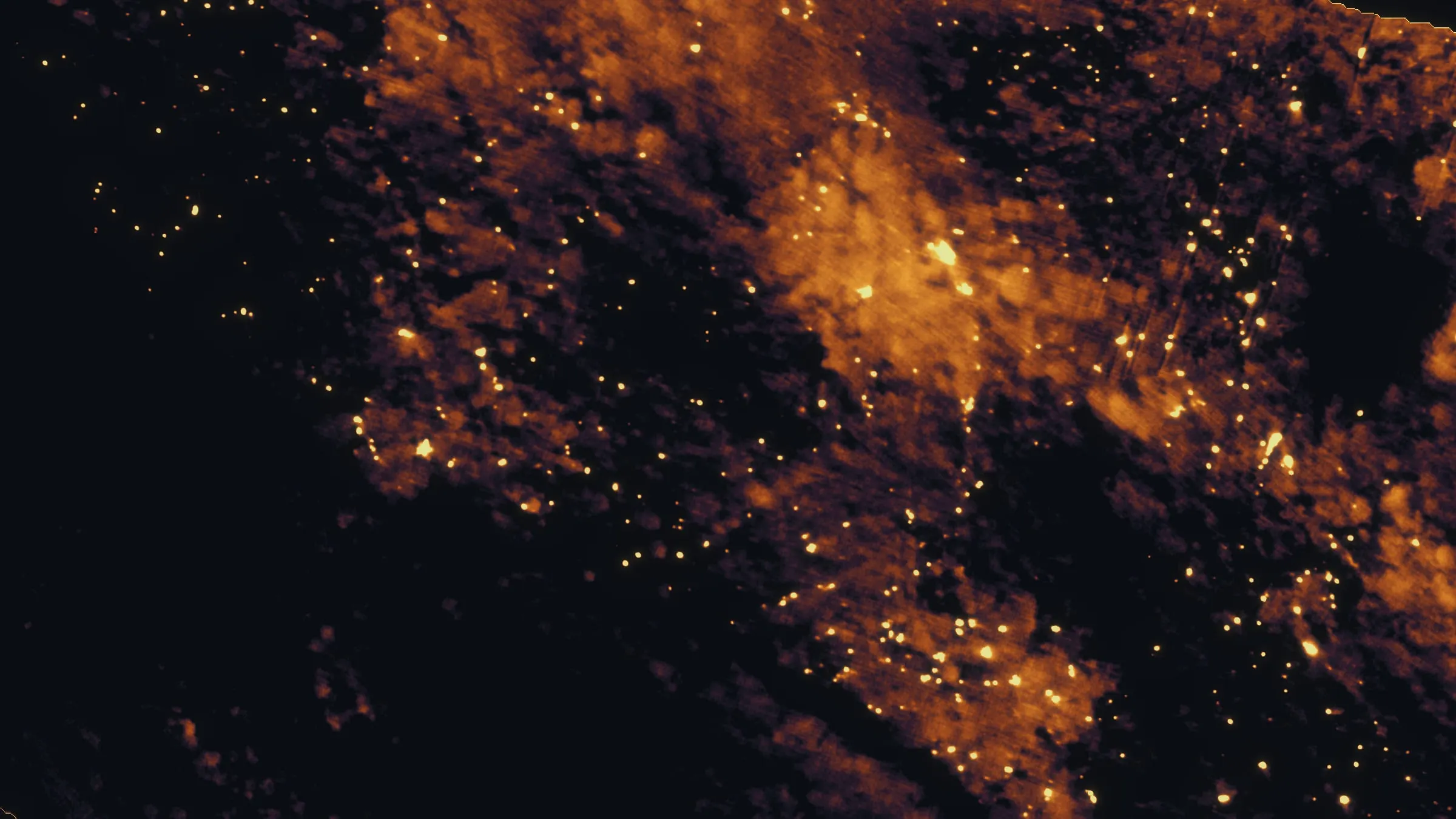
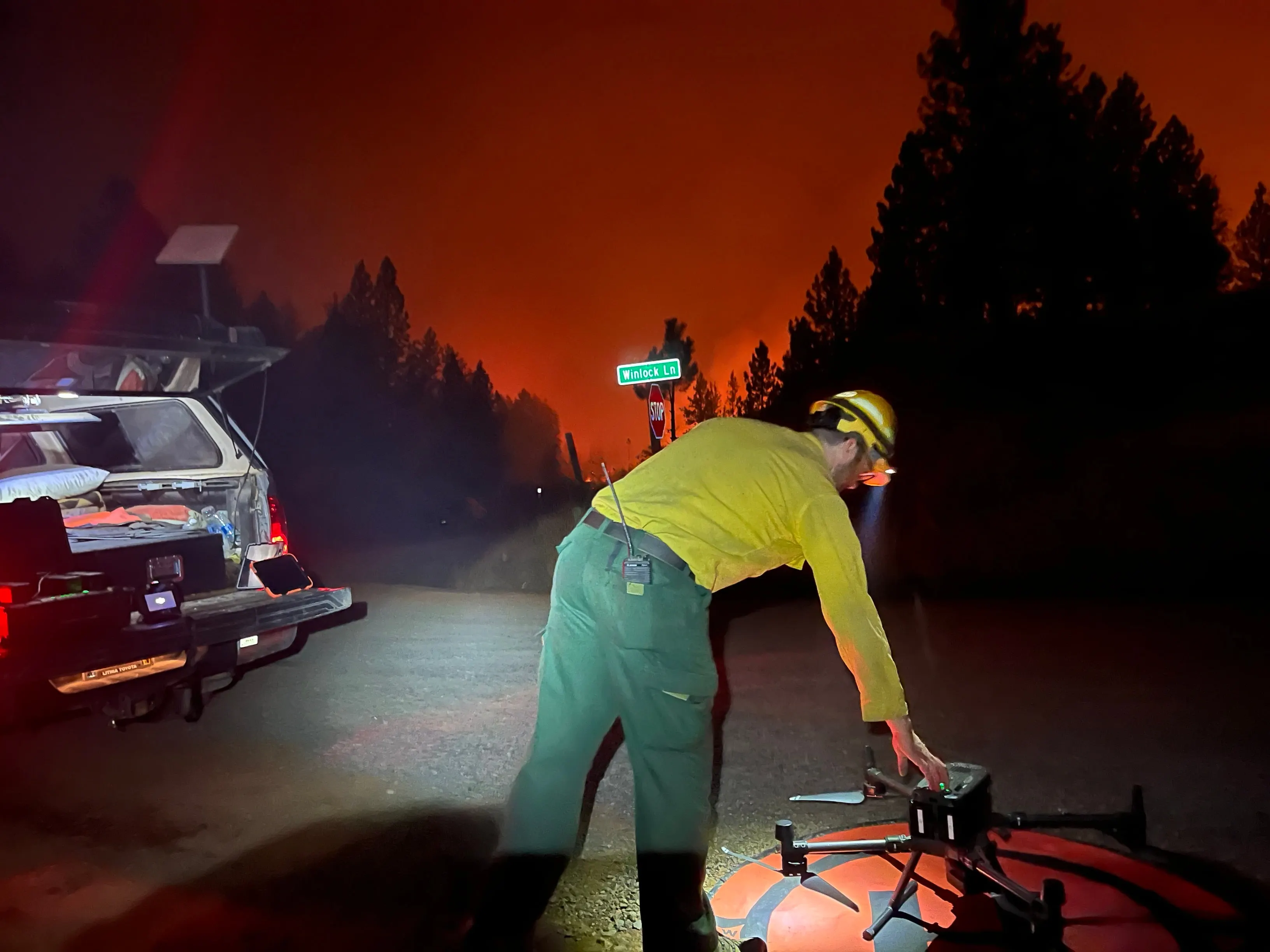
East Evans Creek, a season inside one fire
Oregon Department of Forestry
Fifteen nights on one incident across three weeks, eight divisions, and a heat map in the GIS specialist's hands before the morning briefing.
Read the case
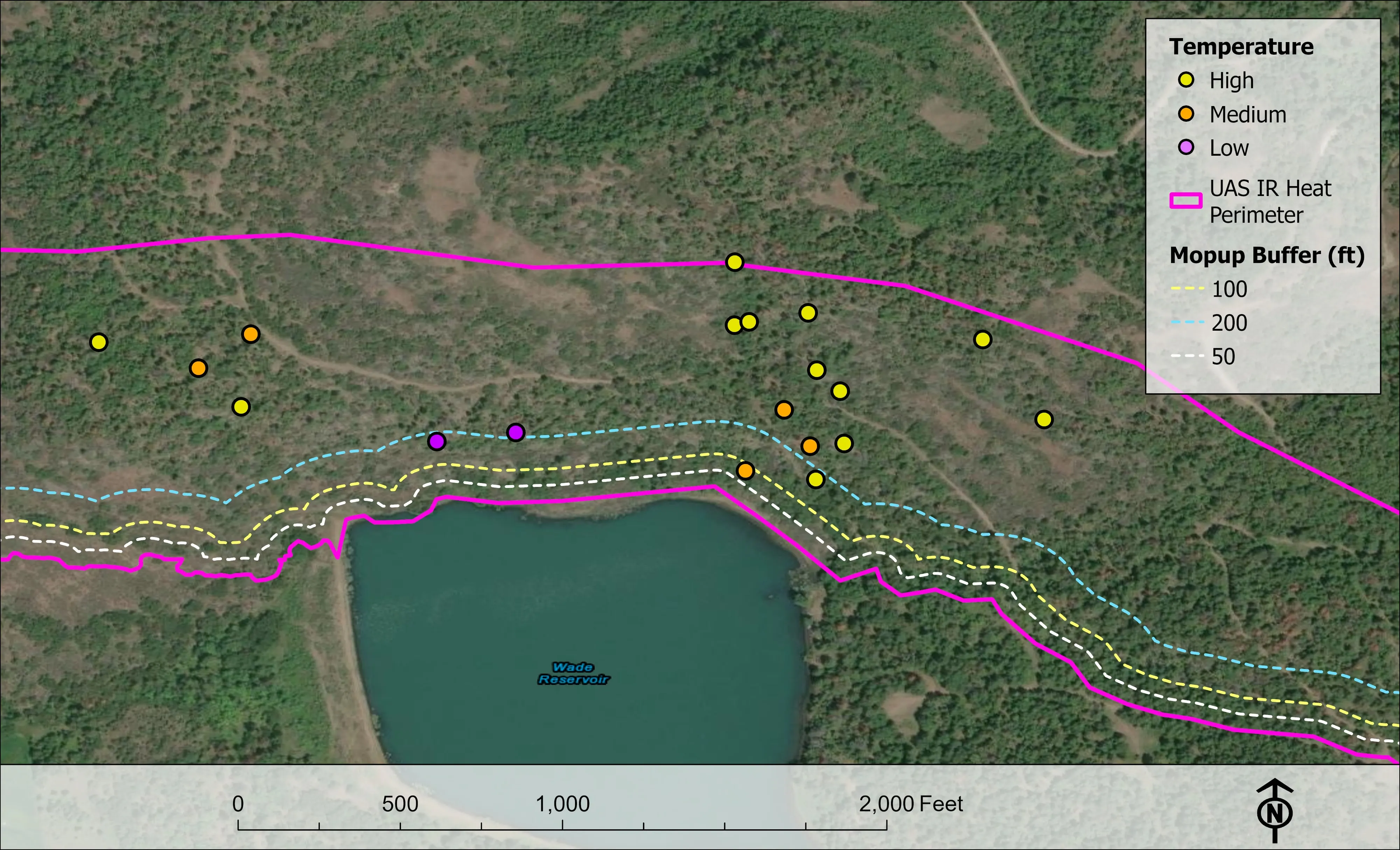
Woodrat Mountain, from initial attack to the last check
Oregon Department of Forestry
Three nights across two weeks on one fire in the Applegate Valley in August 2026. Initial attack, a mopup map, and a last look for heat that found almost none.
Read the case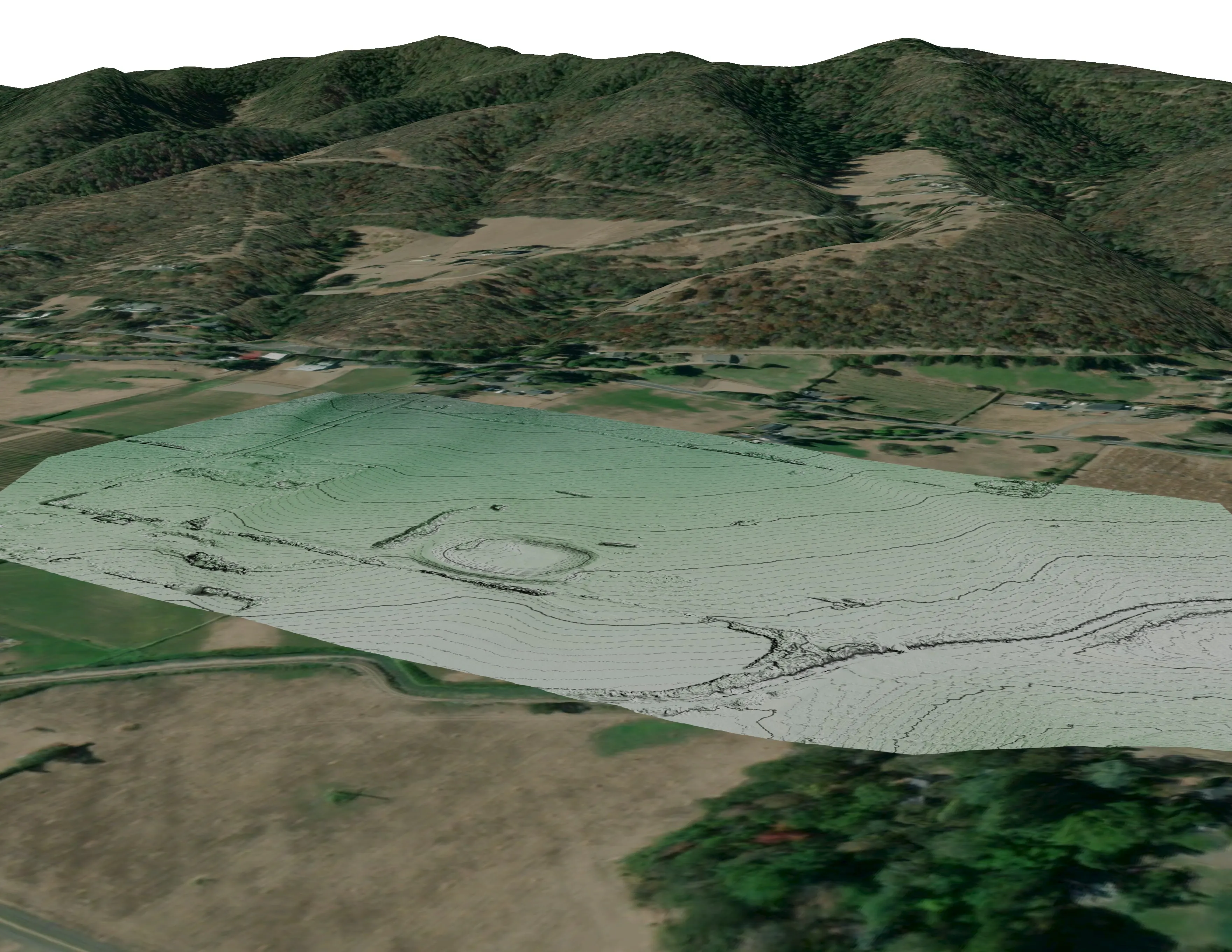
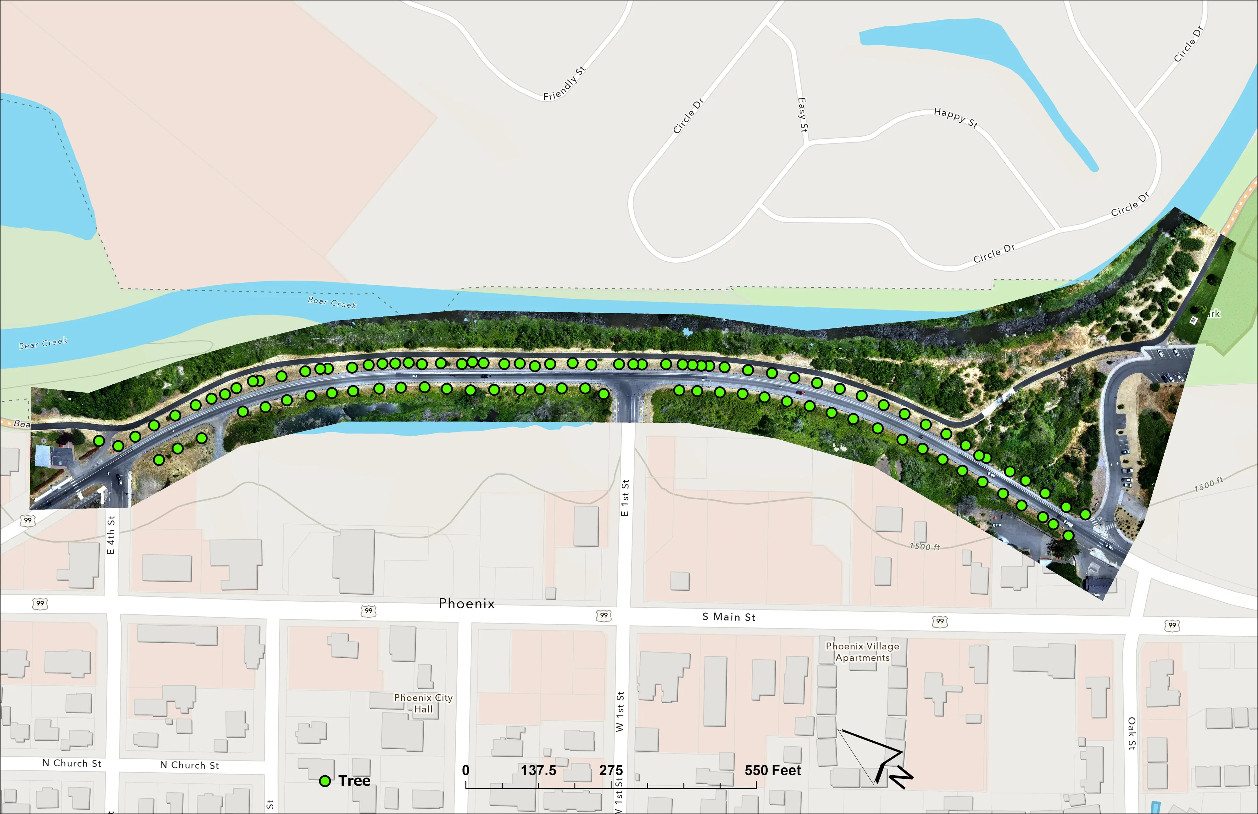
A farm plan on real ground
Plant Oregon with Oregon Urban Rural and Community Forestry, a tree nursery in development
Terrain, ponds, tree mounds, and a site plan drawn on a current ortho of the whole farm.
Read the caseLawton and the Wichitas.
A burn unit, a fire district's planning area, a field or a corridor on the plains. Tell us when and we will add Lawton to the trip.
Email info@roguerecon.net or call 808 298 6290.