

Tulsa, Oklahoma
Green Country: oak hills, a river through town, and nations that manage the land.
Tulsa sits where the Arkansas River leaves the hills, with more trees than any city in the state and the Cherokee, Muscogee and Osage nations managing forest, range and water around it at a scale few agencies match. Tree inventory, riparian mapping and corridor LiDAR are the flights that fit.
The ground
Tulsa and Tulsa County and Osage County and Rogers County
The Arkansas River bends through Tulsa under the bluffs, with Turkey Mountain's urban wilderness on the west bank and the Gathering Place and the parks on the east. The city is oak and hickory hills, the eastern edge of the cross timbers before the Ozark foothills begin, with Keystone Lake above town and the Verdigris and the port below. North is the Osage, tallgrass prairie and oil country; east, the lakes and the Cherokee hills toward the Arkansas line. Ice storms do more to the canopy here than fire does.
Who buys mapping here
- City of Tulsa: Parks and Recreation and the urban forestry program, Engineering Services, Streets and Stormwater, the GIS group
- Up With Trees, the River Parks Authority and the Tulsa County Parks Department
- The Cherokee Nation, the Muscogee Nation and the Osage Nation: natural resources, forestry, environmental and realty programs
- Public Service Company of Oklahoma and the cooperatives: Verdigris Valley Electric, Indian Electric, East Central Electric
- Tulsa County, Osage County and Rogers County: Emergency Management, Engineering
- The Indian Nations Council of Governments, which holds the regional GIS
- The Tulsa Port of Catoosa and the Grand River Dam Authority
- The University of Tulsa, Oral Roberts University and the ranch and timber owners of the Osage and the Cherokee hills
Getting there
From Medford
Tulsa is a flight with the aircraft as freight, or ninety minutes up the turnpike from Oklahoma City on the Oklahoma trip. The nations' lands alone can fill a week here.
The public lidar
What exists, and what it misses
Tulsa County and the region have federal lidar and the city and the Indian Nations Council of Governments use it for floodplain and planning. The canopy question is the one it does not answer: species, condition and risk for the street and park trees after each ice storm, the river corridor's vegetation, and the cooperative lines running out through the hills.
What we would fly
The lanes that fit Tulsa
Tree inventory and canopyEnvironmental and habitat mappingDrone LiDAR
Nearest work
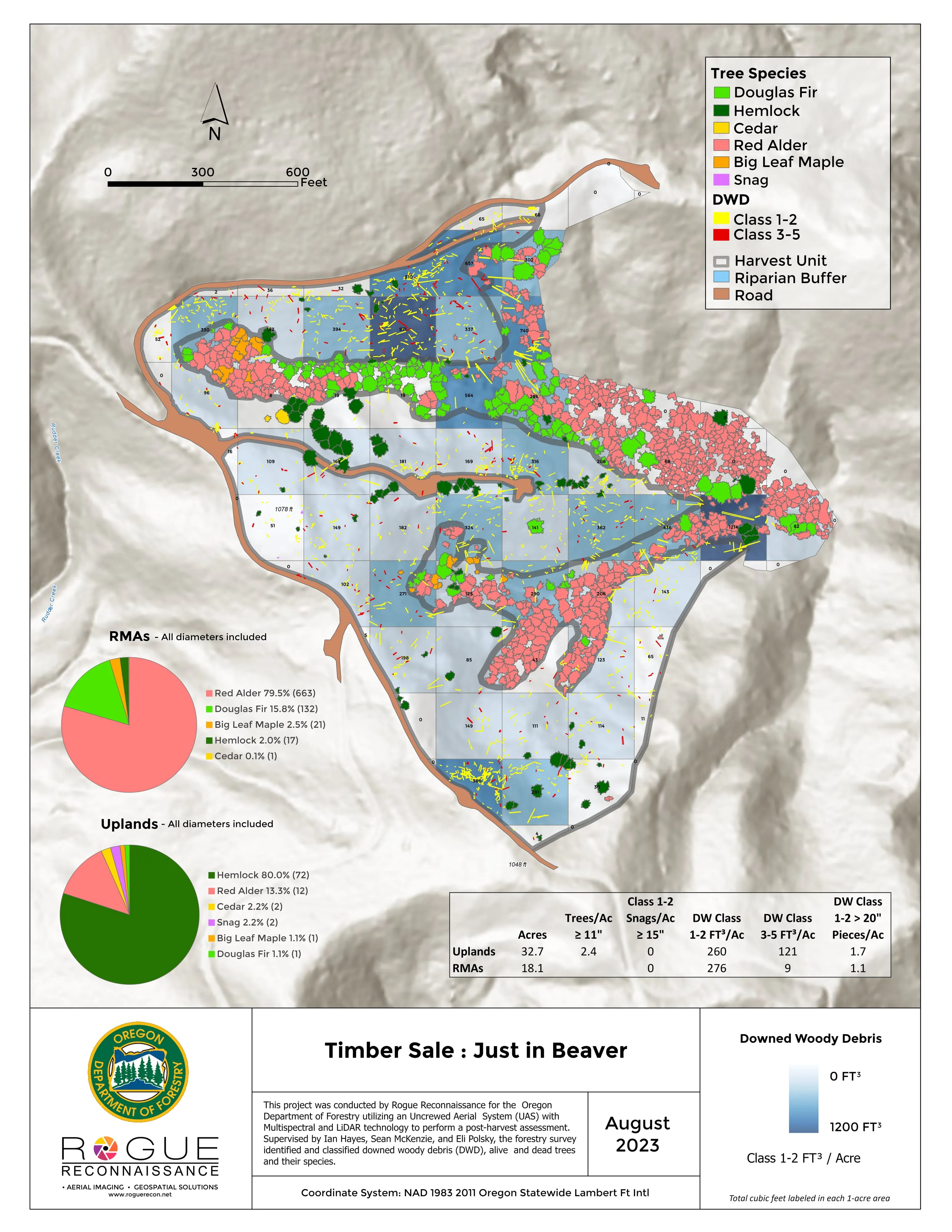
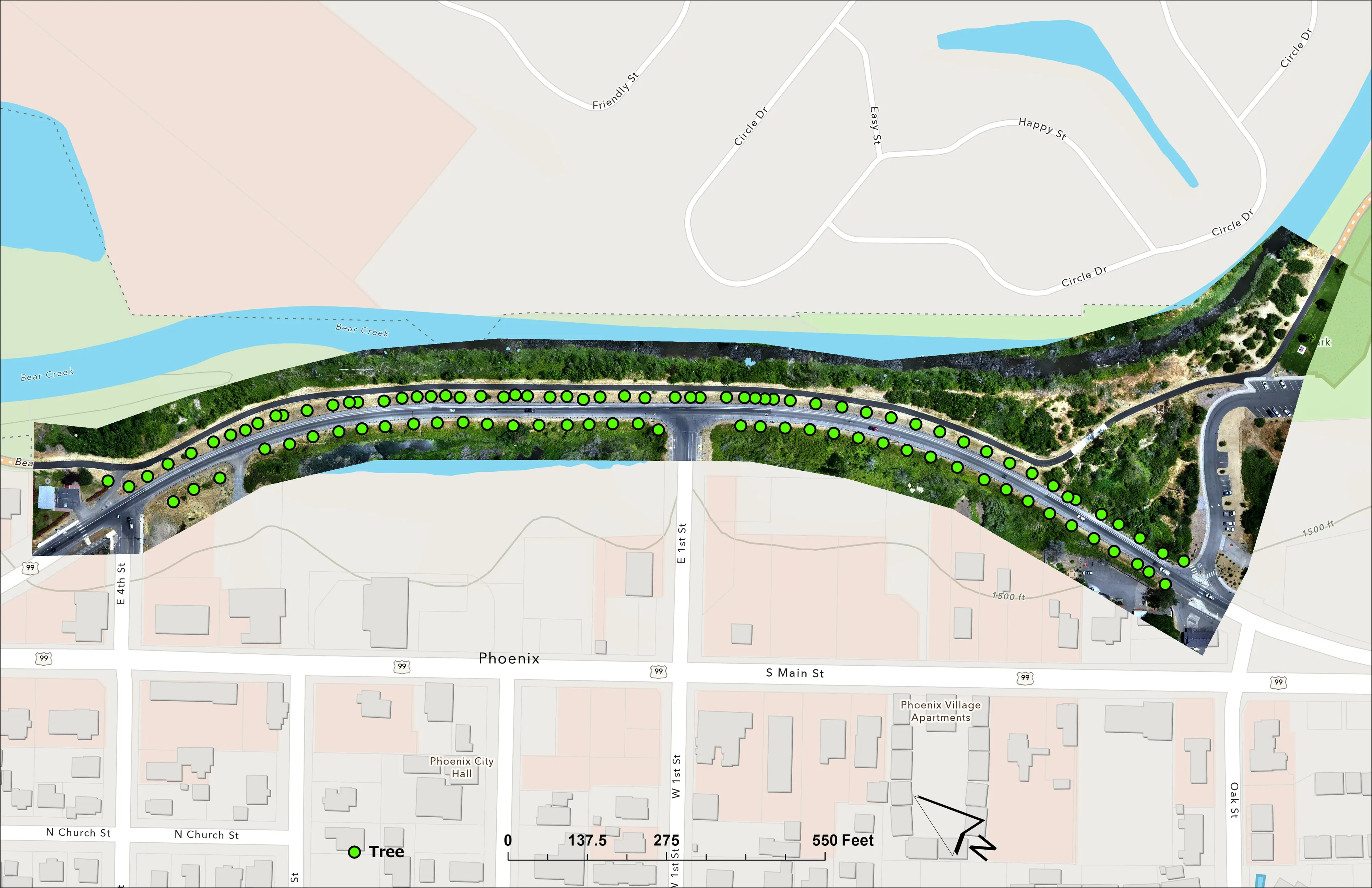
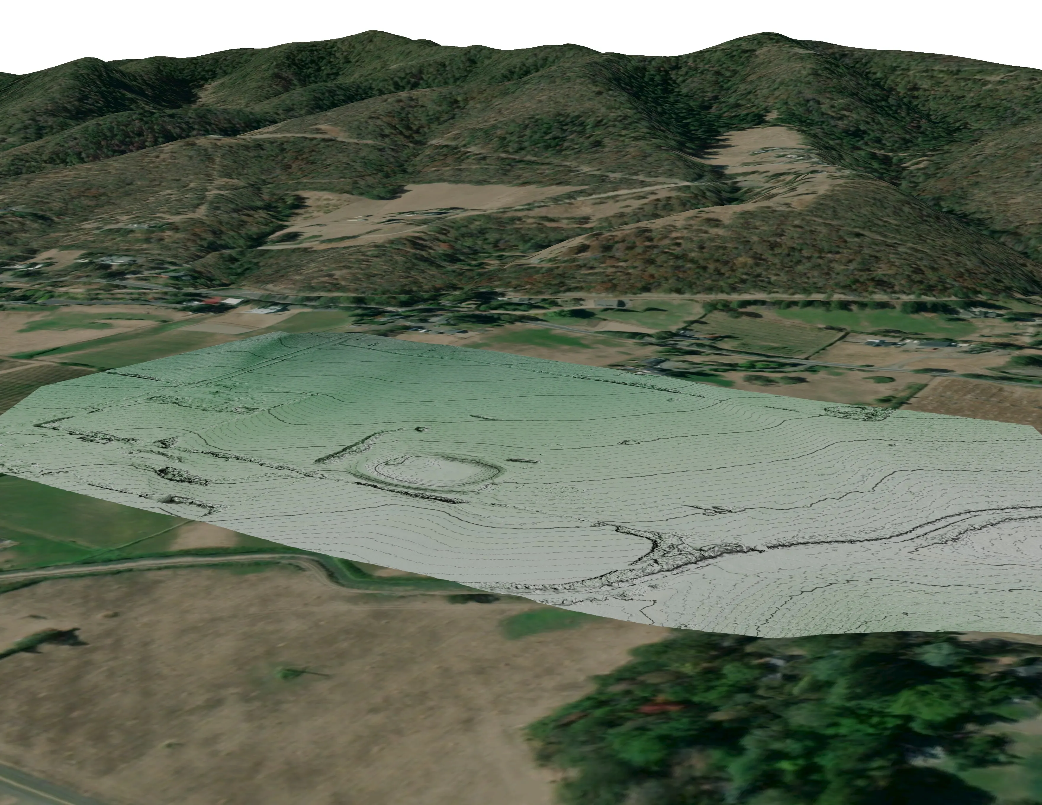
Green Country has not had a flight from us. The Oregon work that answers for it: a city ash inventory, a river corridor classified by species, and a corridor counted tree by tree.
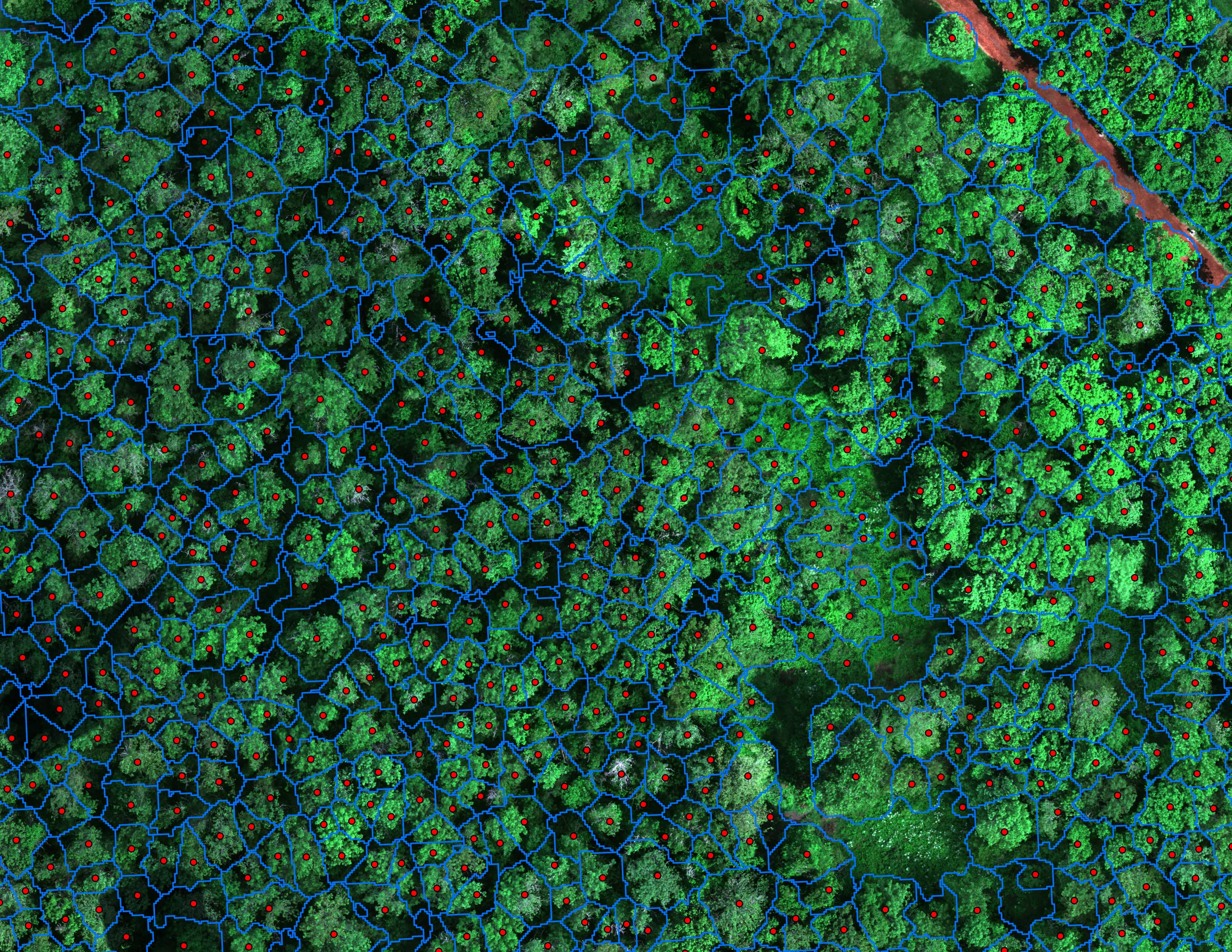
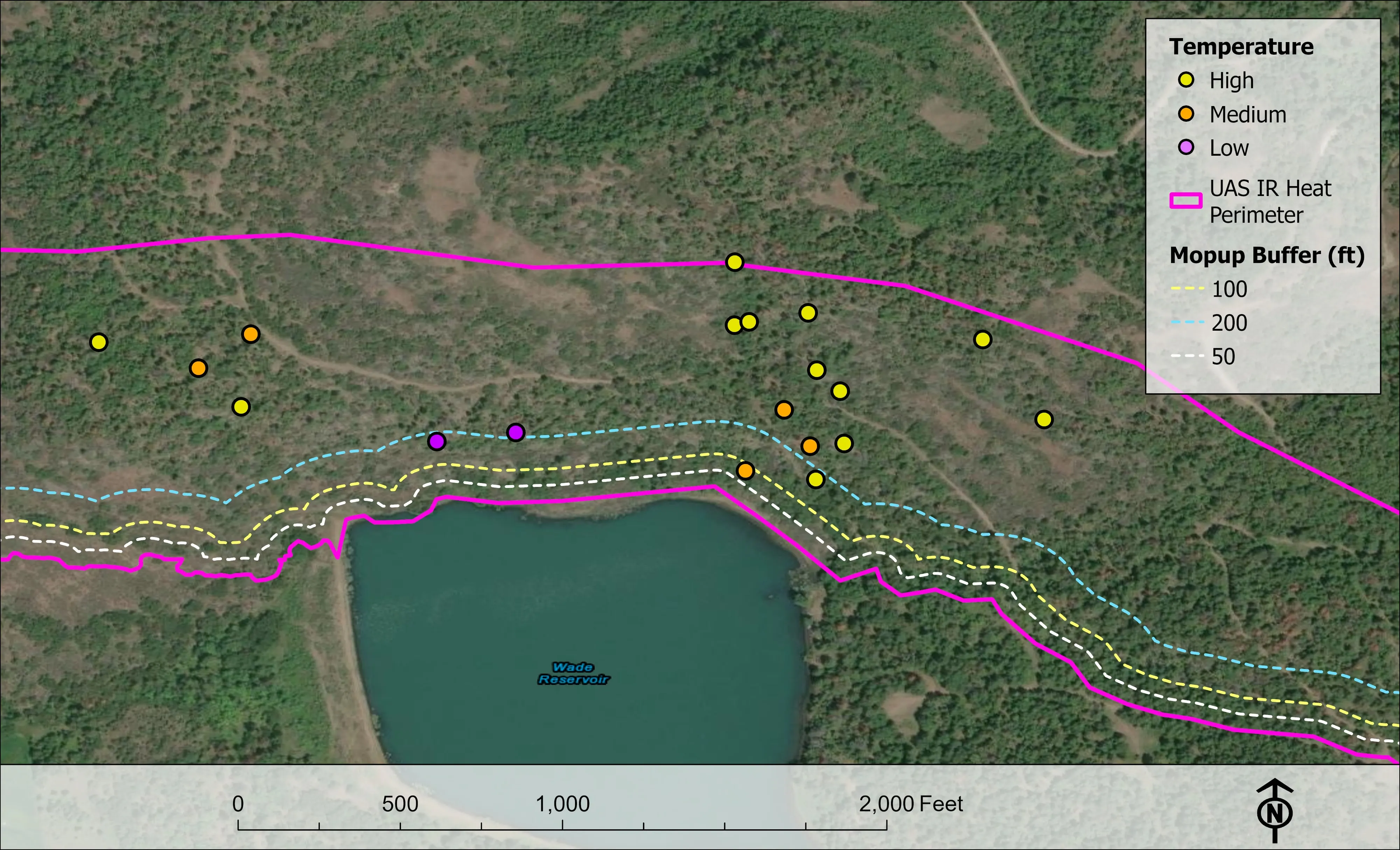
Finding every Oregon ash before the borer does
City of Eugene, Parks and Open Space
12,632 crowns classified across 390 acres of riparian canopy. 5,261 of them Oregon ash.
Read the case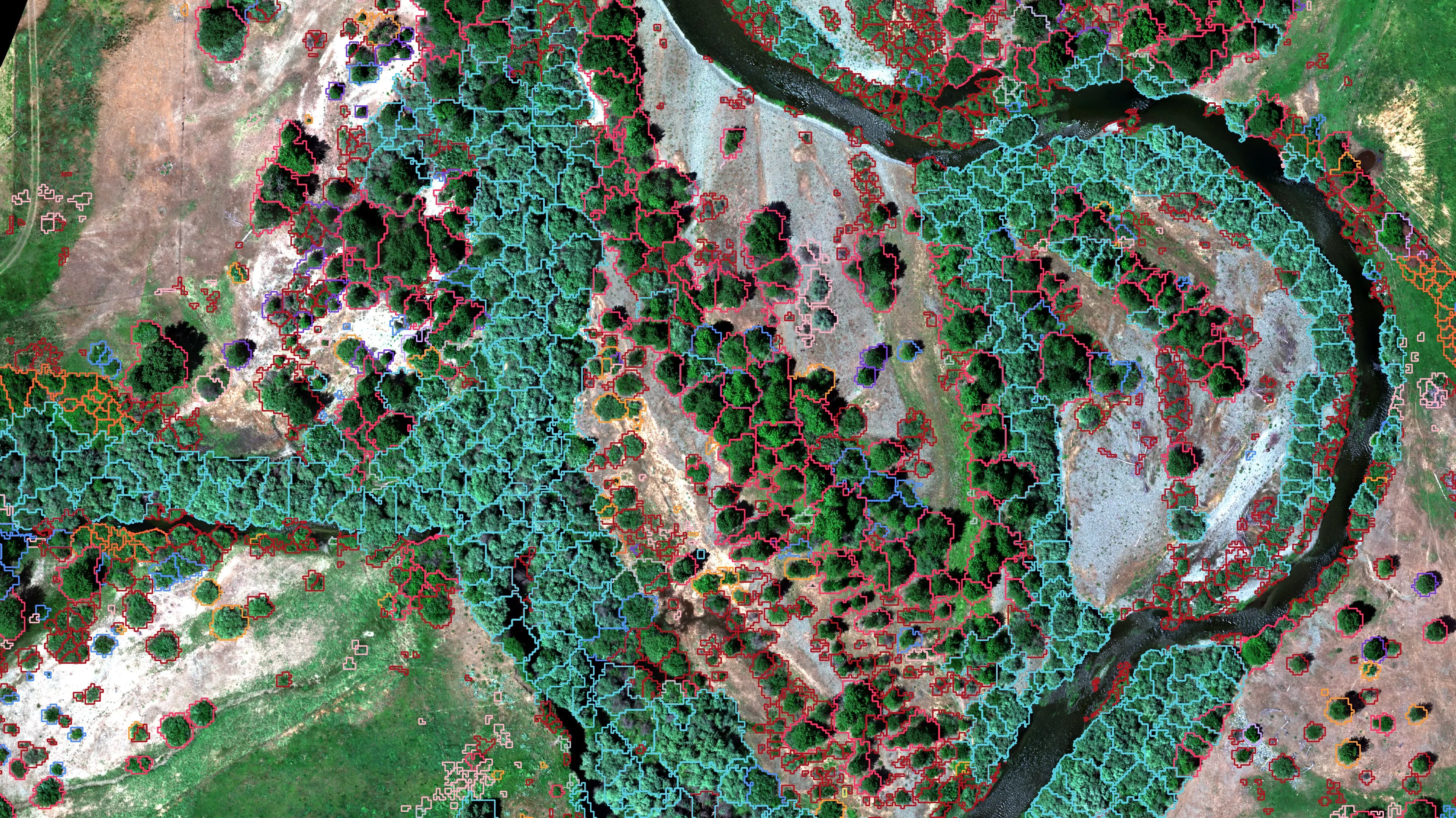
Riparian species and cold seeps on the Scott River
Cascade Stream Solutions, with a botanist leading field identification. We flew it as their subcontractor and reported to them.
Fourteen riparian species classified across 423 acres of river corridor, with thermal mapping that pointed to groundwater fed cold seeps.
Read the case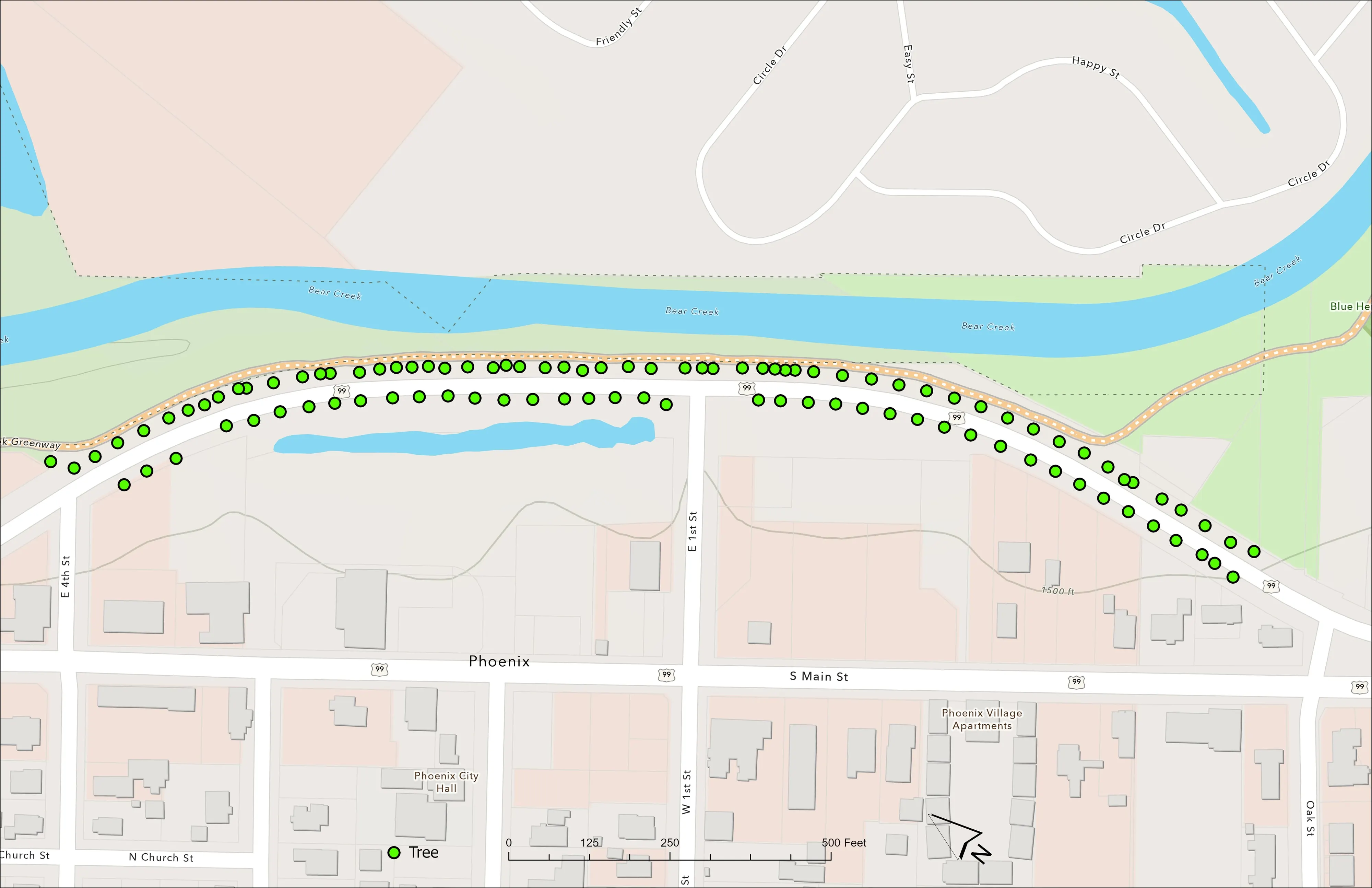
A planting corridor through Phoenix, tree by tree
City of Phoenix
The year one record for 98 trees the city planted where the Almeda fire burned through Phoenix, from drone LiDAR and RGB flown 65 days after planting.
Read the caseTulsa and the nations, on the Oklahoma trip.
A canopy inventory for the city, a reach of the river, a nation's forest block or a cooperative corridor. Tell us which program is asking and we will give Tulsa its week.
Email info@roguerecon.net or call 808 298 6290.