

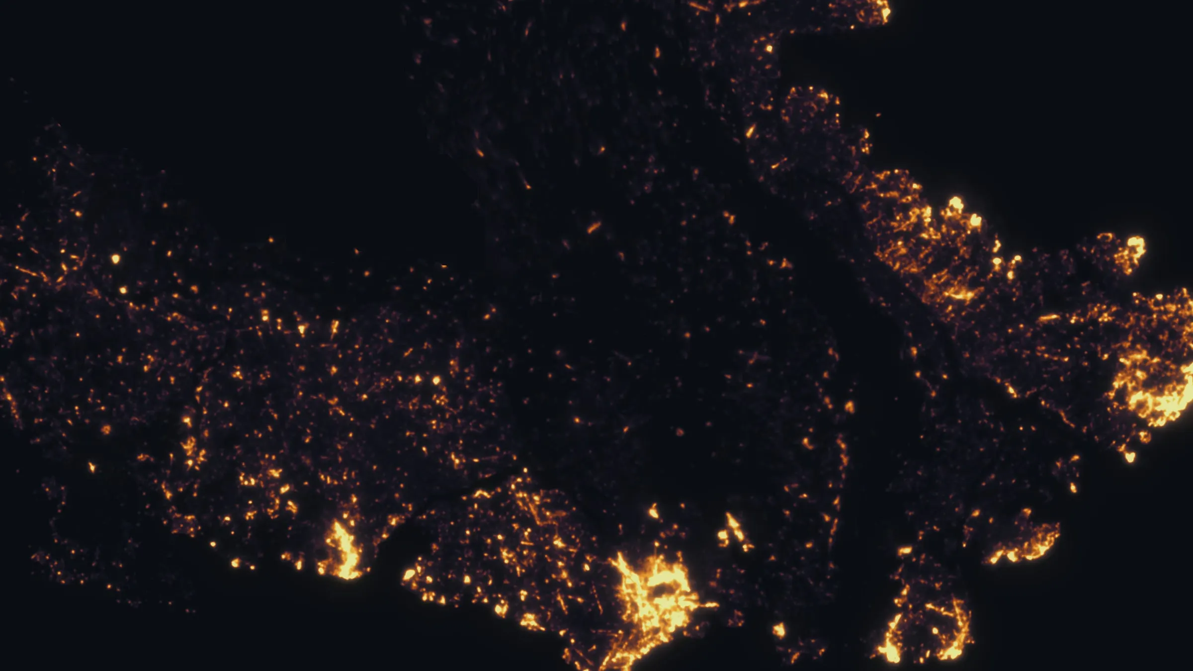
Oklahoma City, Oklahoma
A capital in the cross timbers, with fire on the wind every spring.
Oklahoma City covers more ground than almost any city in the country, and much of it is cross timbers, lakes and pasture inside the limits. The spring fire season arrives on the south wind, the metro keeps a canopy and a river to manage, and the cooperatives and the state agencies that buy mapping are all here.
The ground
Oklahoma City and Oklahoma County and Cleveland County and Canadian County
The city sprawls across the divide between the North Canadian, the Oklahoma River through downtown, and the Canadian to the south, with Lake Hefner, Lake Overholser and Lake Stanley Draper inside the limits. The cross timbers, post oak and blackjack on sandy hills, run through the east side and down toward Norman; west the land opens into wheat and cattle toward El Reno. Tinker Air Force Base holds the south east. Ice storms, tornadoes and the spring grass fires shape what grows and what burns.
Who buys mapping here
- City of Oklahoma City: Parks and Recreation and its forestry program, Public Works, Utilities, Emergency Management, the GIS group
- Oklahoma County, Cleveland County and Canadian County: Emergency Management, Engineering, the county assessors' GIS
- Oklahoma Forestry Services and the Oklahoma Conservation Commission, both headquartered in the capital
- Oklahoma Gas and Electric and the cooperatives of the metro: Oklahoma Electric Cooperative, Central Electric and the Oklahoma Association of Electric Cooperatives
- The Oklahoma City Fire Department and the suburban departments in the cross timbers interface: Edmond, Moore, Midwest City, Mustang, Choctaw
- The Association of Central Oklahoma Governments, which holds the regional GIS
- Tinker Air Force Base's natural resources program; the Oklahoma Turnpike Authority and the Department of Transportation
- Wheat and cattle operations in the western counties and the developers building onto the hills
Getting there
From Medford
We reach Oklahoma City by air with the aircraft in its cases and a truck waiting at Will Rogers, and plan the state as one or two weeks beginning here.
The public lidar
What exists, and what it misses
Oklahoma has near complete lidar coverage through the federal 3DEP program and the state's own flights, and the metro's floodplain and drainage planning rests on it. The interface neighbourhoods in the cross timbers, the river corridor, the city's street and park trees and the cooperative lines want the finer, current picture a drone flight gives: fuels and exposure per structure, canopy tree by tree, clearance span by span.
What we would fly
The lanes that fit Oklahoma City
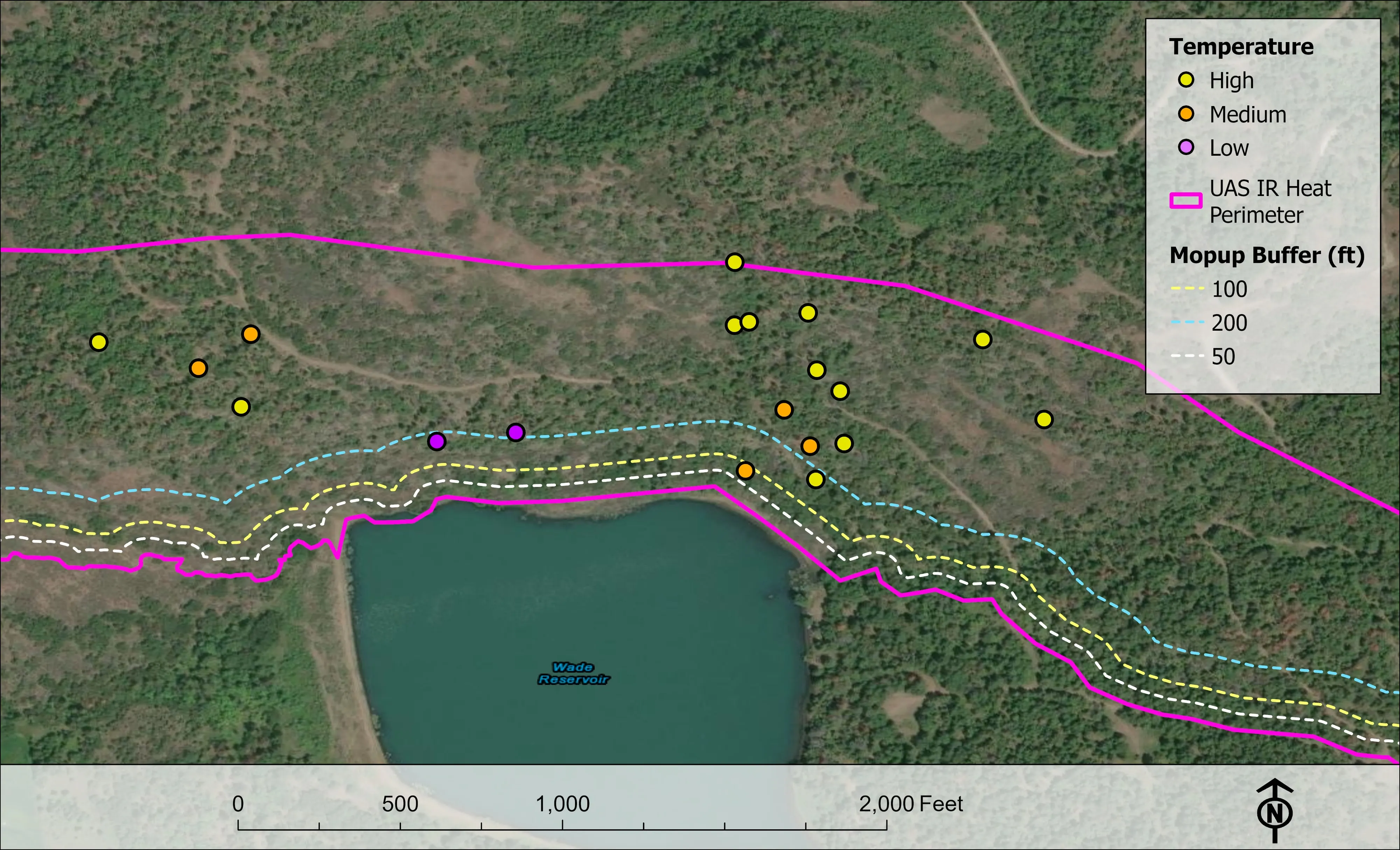
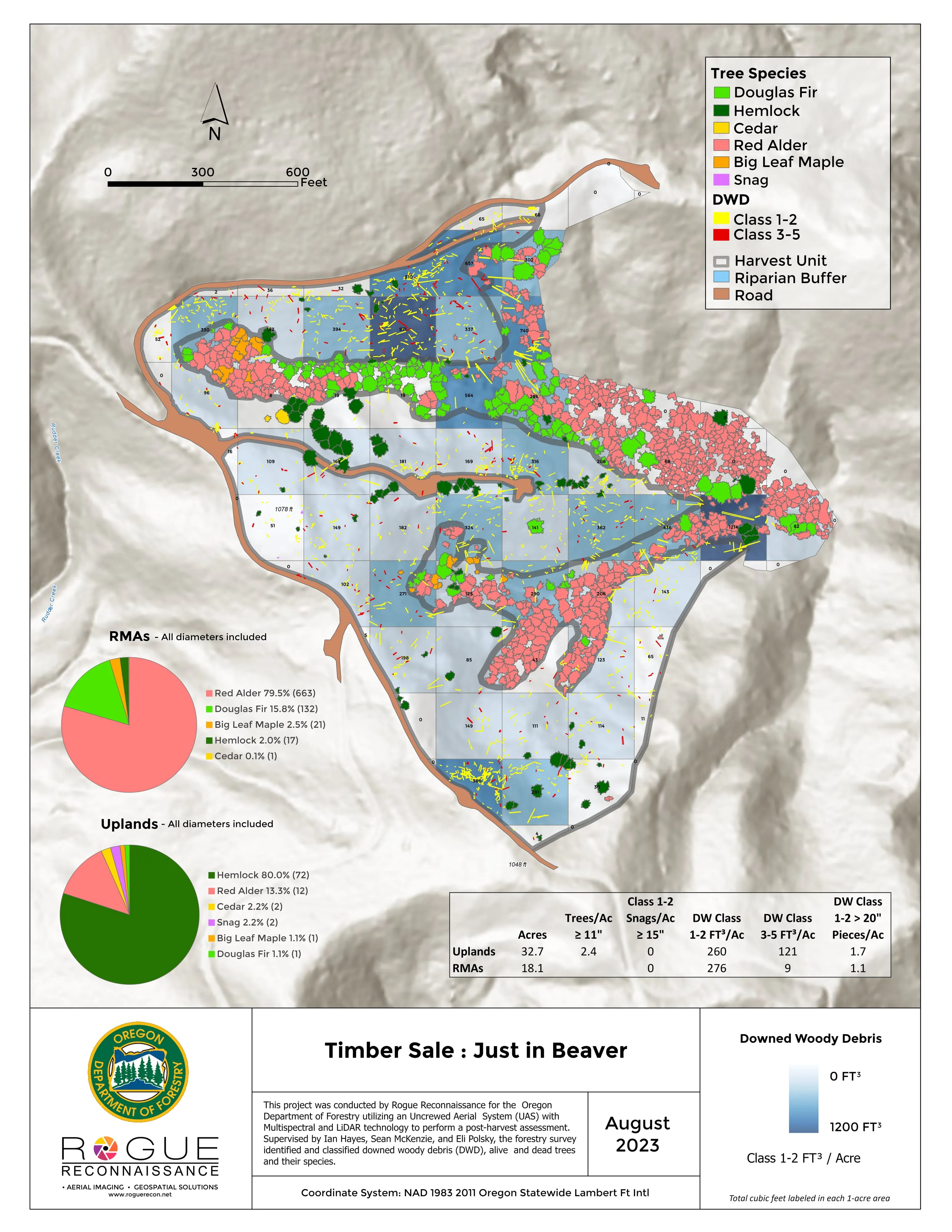
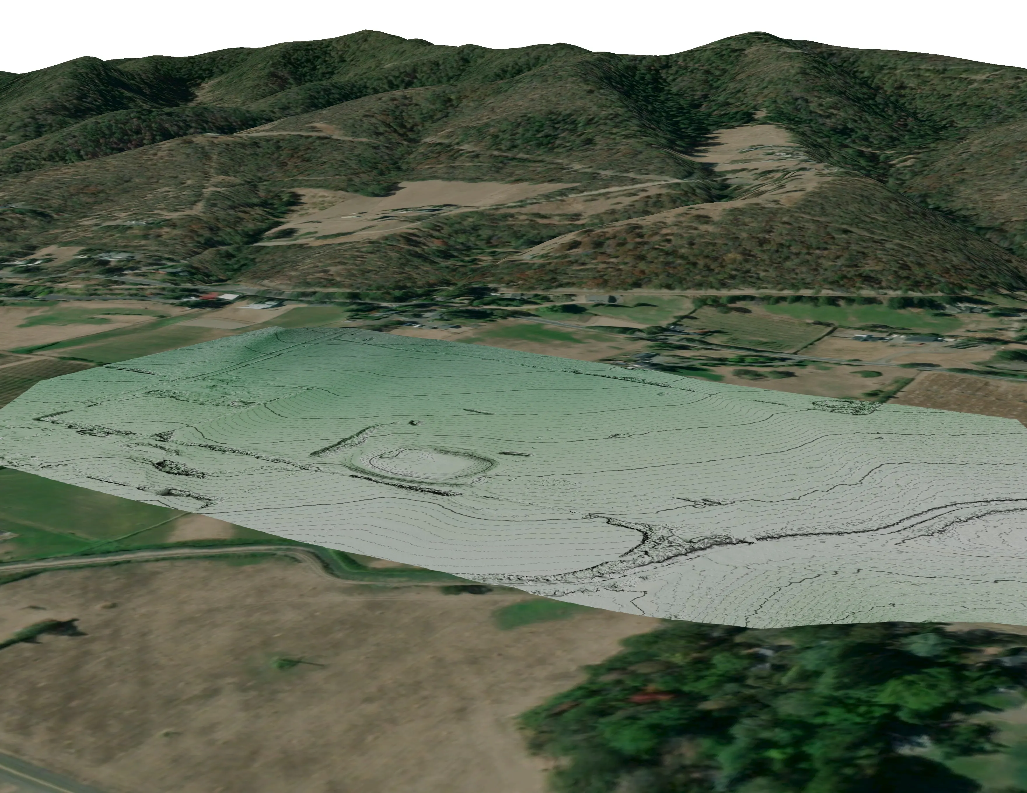
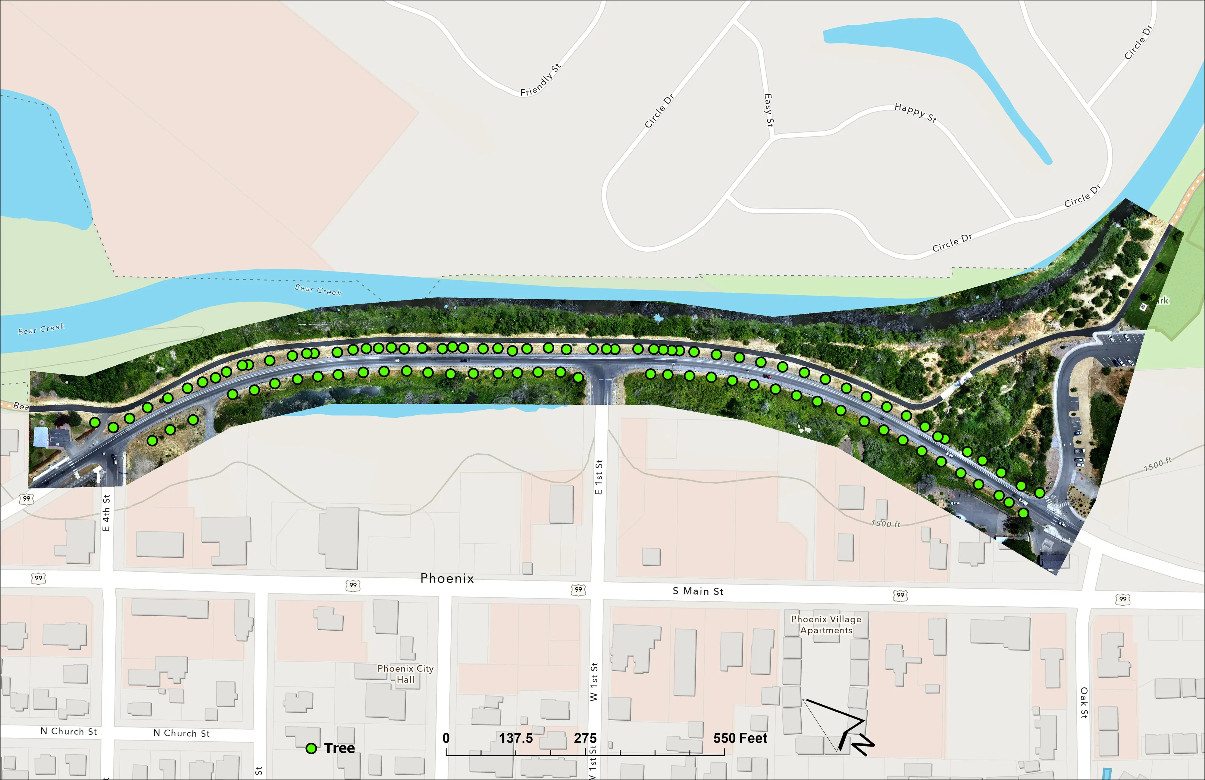
Fuels mapping and CWPP supportTree inventory and canopyDrone LiDAR
Nearest work
Oklahoma is new ground for the aircraft. What the Oregon record shows it would do here: a whole town's fuels and exposure data, a city counted crown by crown, and a fast moving fire mapped beside a freeway.
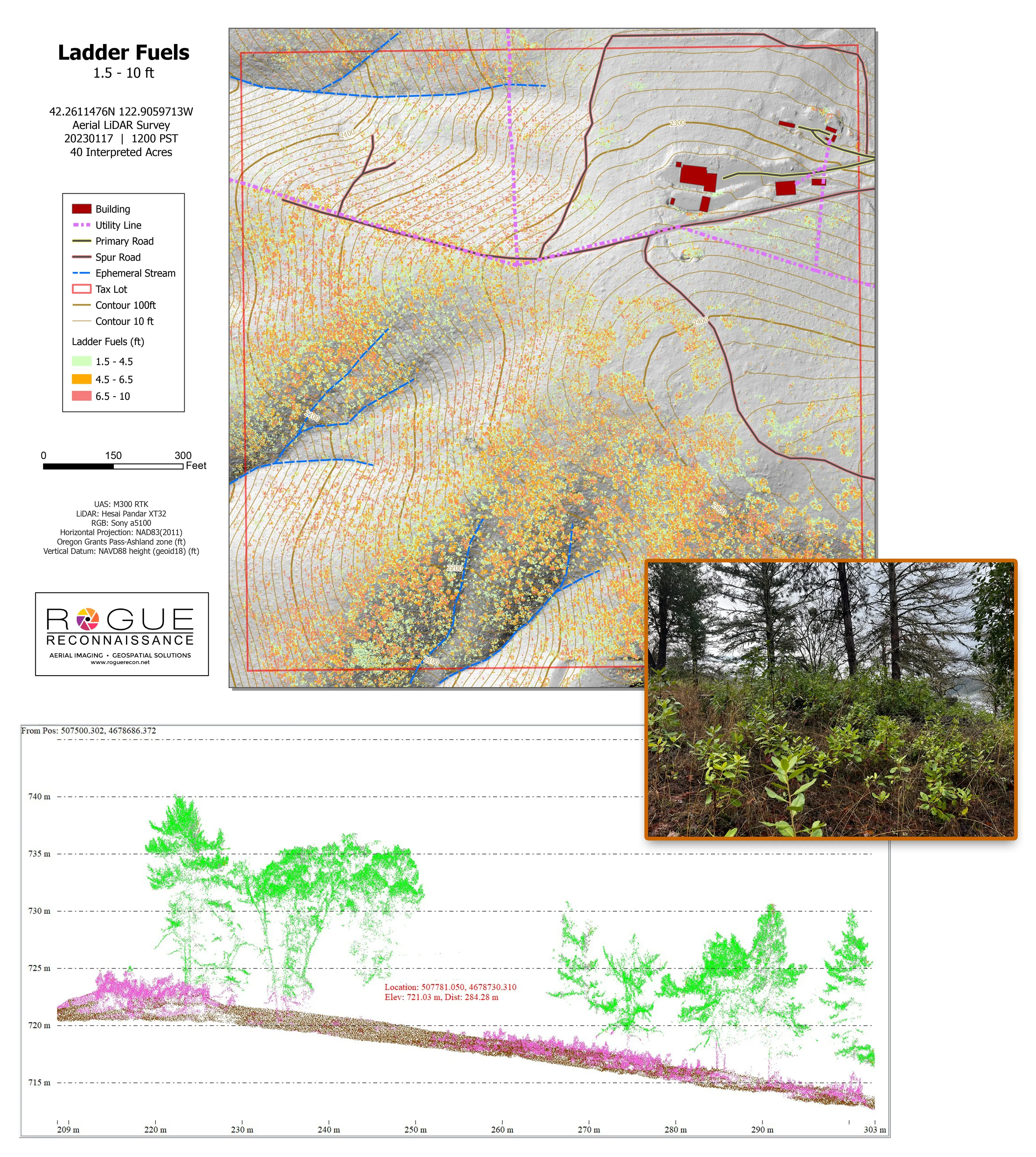
Citywide LiDAR for the Ashland CWPP
City of Ashland
Citywide drone LiDAR that gave the 2025 Ashland Community Wildfire Protection Plan its ladder fuel and structure exposure numbers.
Read the case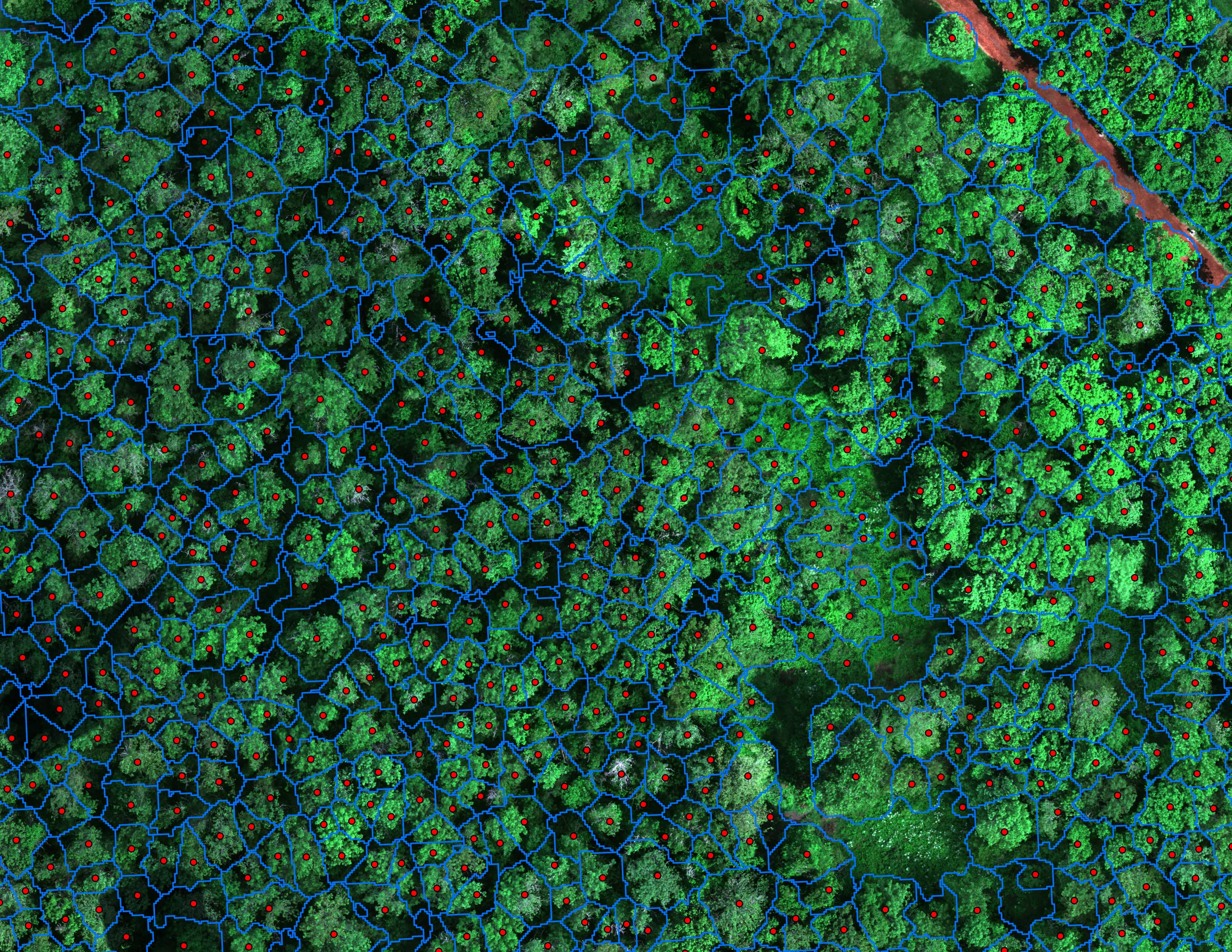
Finding every Oregon ash before the borer does
City of Eugene, Parks and Open Space
12,632 crowns classified across 390 acres of riparian canopy. 5,261 of them Oregon ash.
Read the case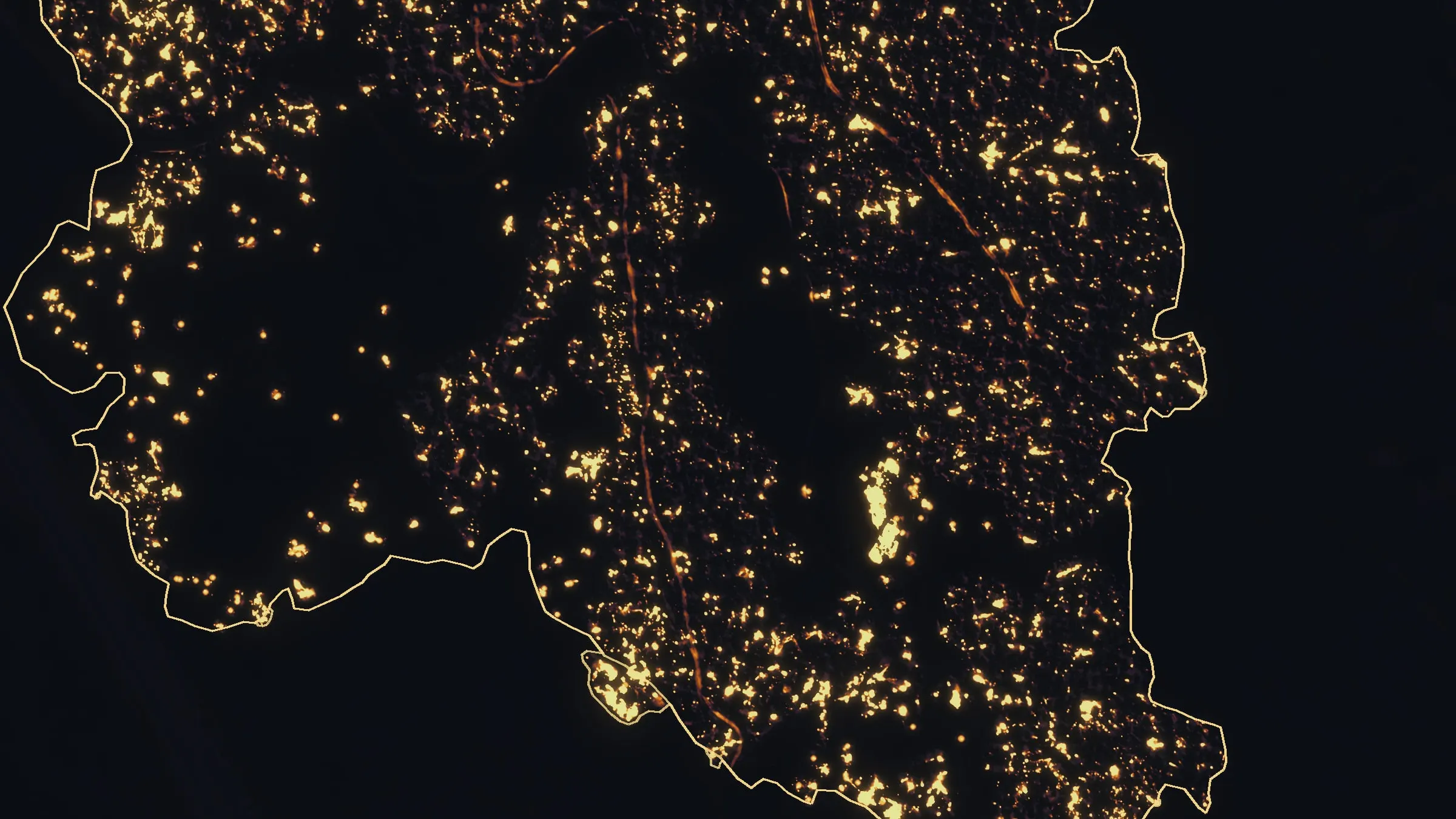
Interstate 5 at milepost 57, initial attack beside the freeway
Oregon Department of Forestry
Initial attack beside Interstate 5 near Grants Pass in August 2026. A perimeter map the first evening, then two flights most nights, five nights in all.
Read the caseOklahoma City, where the trip starts.
A fire district planning area, a park canopy inventory, a cooperative line or a farm: name it and the Oklahoma trip begins there.
Email info@roguerecon.net or call 808 298 6290.