

Enid, Oklahoma
Wheat to the horizon, elevators on the skyline, fire when the wind blows.
Enid is the wheat capital, with grain elevators you can see from twenty miles and farms in every direction, a cooperative network to match, an Air Force training base and a plains fire season that runs with the wind. Farm planning, corridor LiDAR and infrared on the fires are the flights that fit.
The ground
Enid and Garfield County
The city sits on the red plains of north central Oklahoma, flat to rolling wheat and cattle country cut by Boggy Creek and the Salt Fork drainages, with Vance Air Force Base on the south side and the elevators along the rail lines. Shelterbelts and the creek bottoms carry what trees there are; the Great Salt Plains lie to the north west and the Cimarron to the south. Fire here is grass fire, fast and wide.
Who buys mapping here
- City of Enid: Public Works, Engineering, Parks, Emergency Management, the GIS group
- Garfield County: Emergency Management, the commissioners, the volunteer fire departments of the county
- Vance Air Force Base's civil engineering and natural resources programs
- Alfalfa Electric Cooperative, Oklahoma Gas and Electric and the cooperatives of the north central counties
- The Garfield County Conservation District and the NRCS field office
- Northern Oklahoma College and Northwestern Oklahoma State University's Enid campus
- Wheat, canola and cattle operations across the county, the grain cooperatives and the elevators
Getting there
From Medford
Enid is ninety minutes north west of Oklahoma City on Highway 81, a day's drive and work from the capital on the Oklahoma trip.
The public lidar
What exists, and what it misses
Garfield County has federal lidar, flown for the drainage and floodplain work of flat country. A field's drainage and terraces, a shelterbelt's condition, a cooperative line's clearance or a grass fire's footprint each need a current flight sized to the field or the span.
What we would fly
The lanes that fit Enid
Nearest work
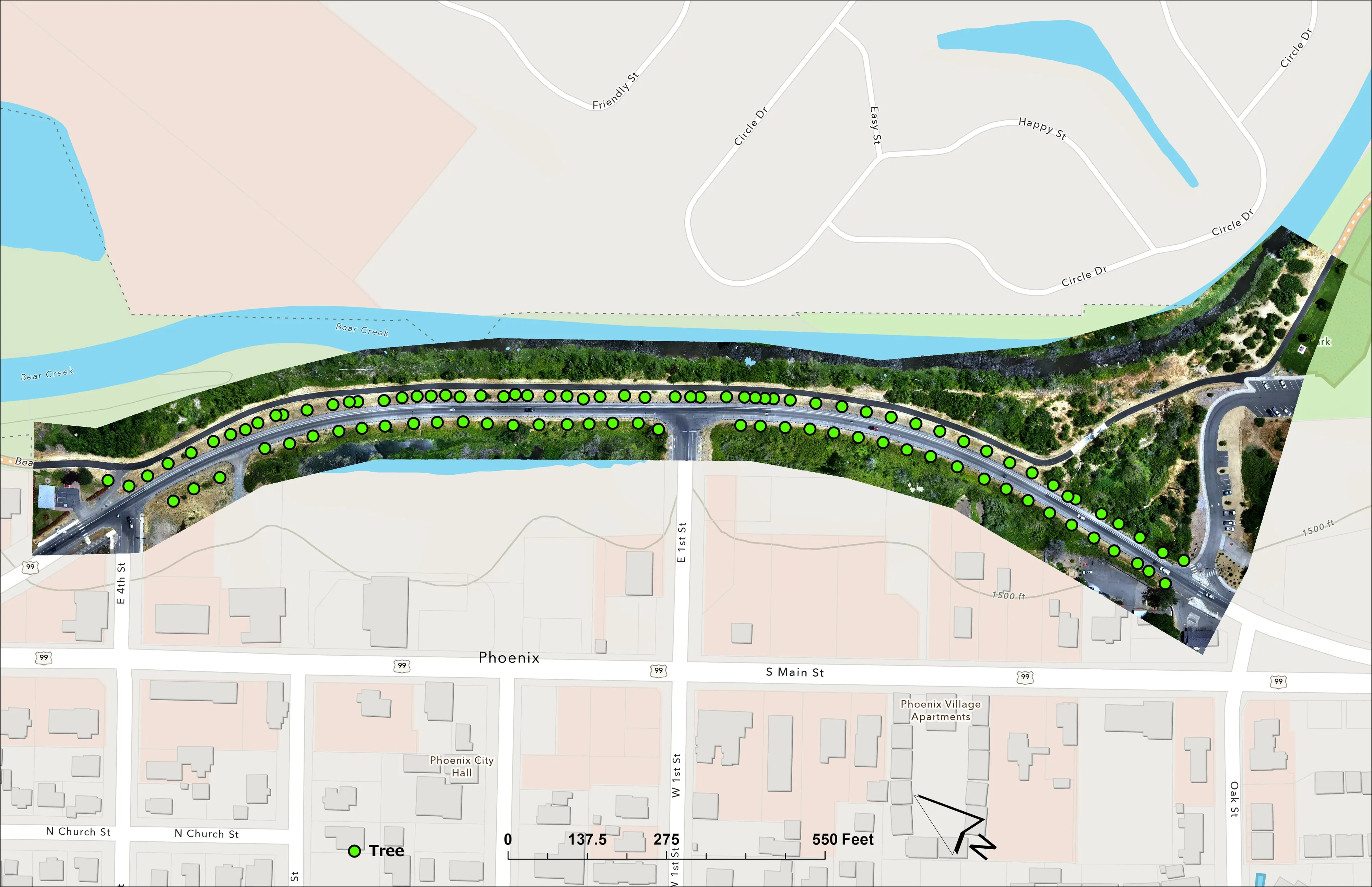
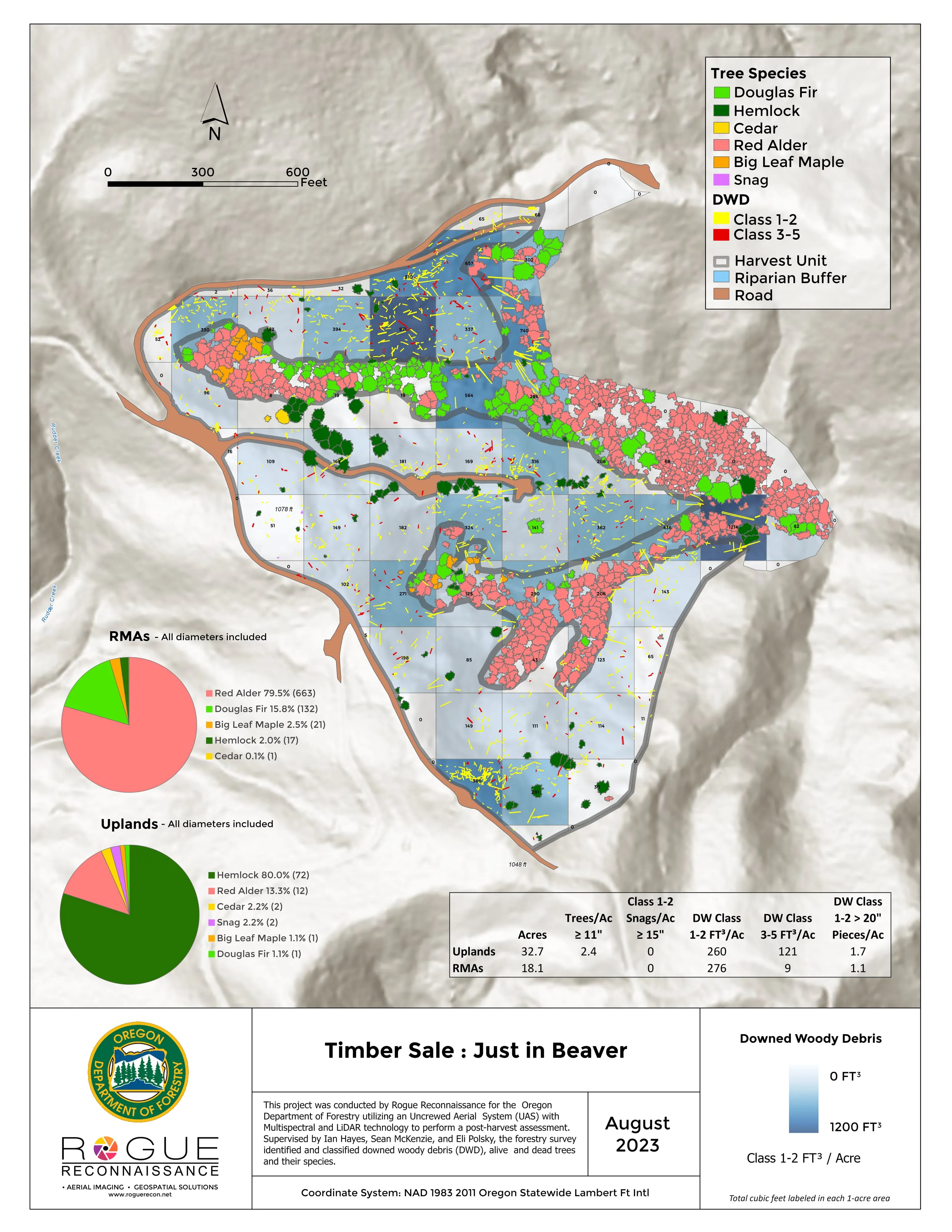
Wheat country is new to the aircraft. Comparable work: the Talent nursery plan, the Interstate 5 fire mapped beside the freeway, and the Brookings campus mapped for engineers.
A farm plan on real ground
Plant Oregon with Oregon Urban Rural and Community Forestry, a tree nursery in development
Terrain, ponds, tree mounds, and a site plan drawn on a current ortho of the whole farm.
Read the case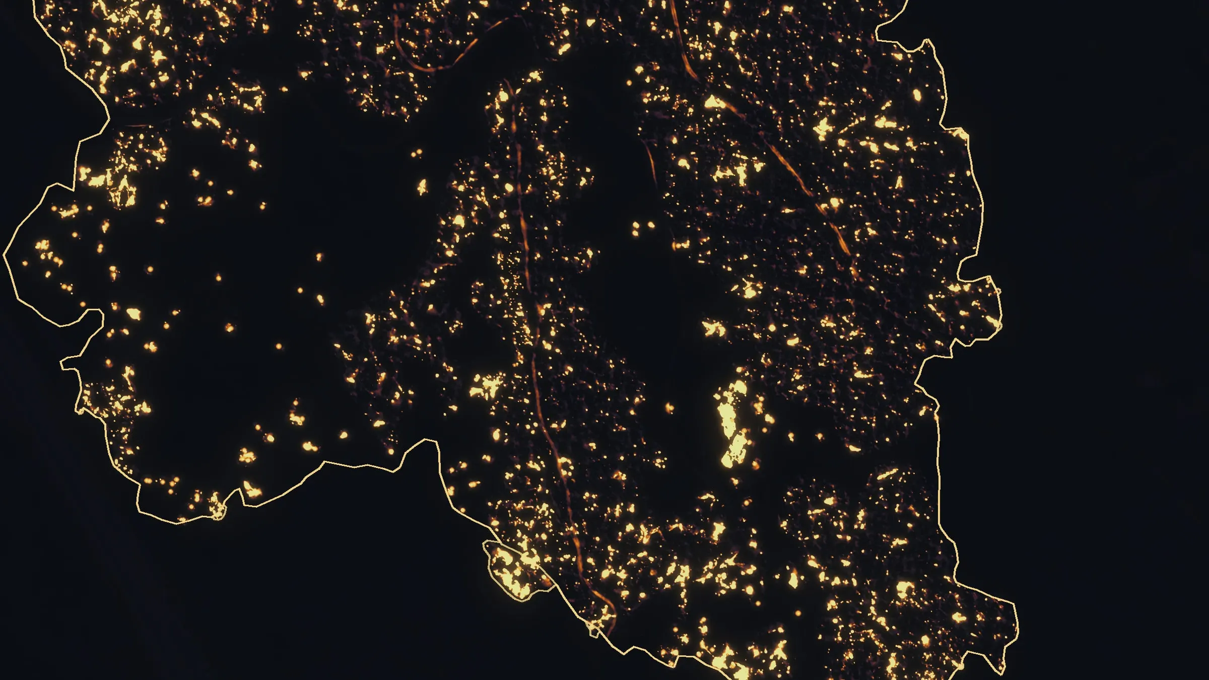
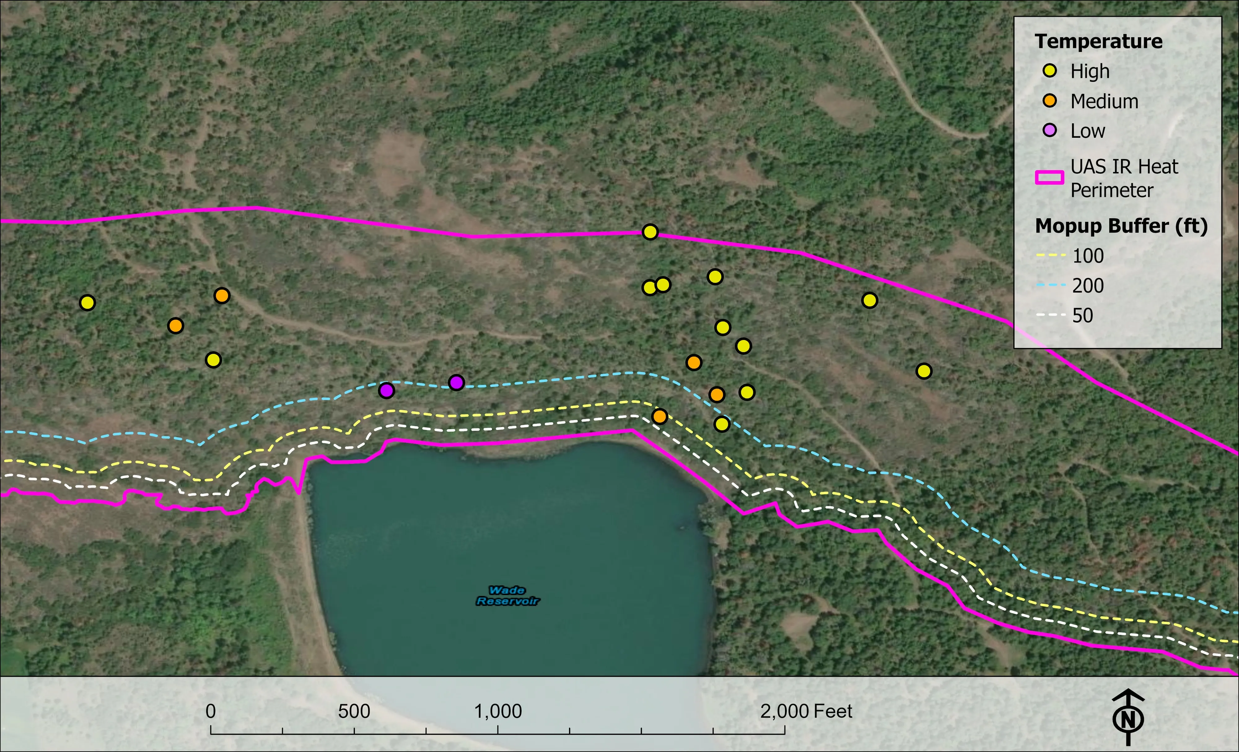
Interstate 5 at milepost 57, initial attack beside the freeway
Oregon Department of Forestry
Initial attack beside Interstate 5 near Grants Pass in August 2026. A perimeter map the first evening, then two flights most nights, five nights in all.
Read the case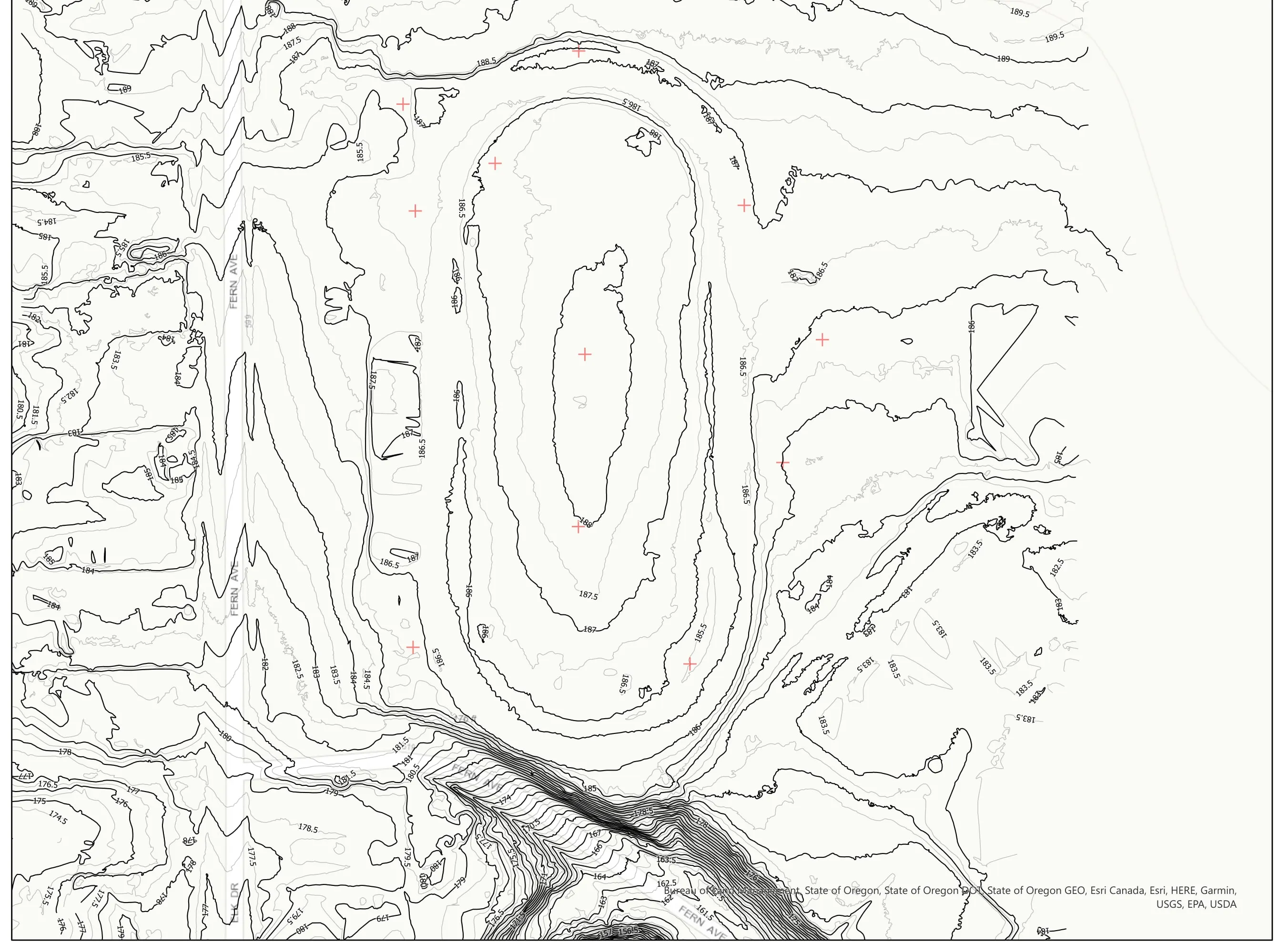
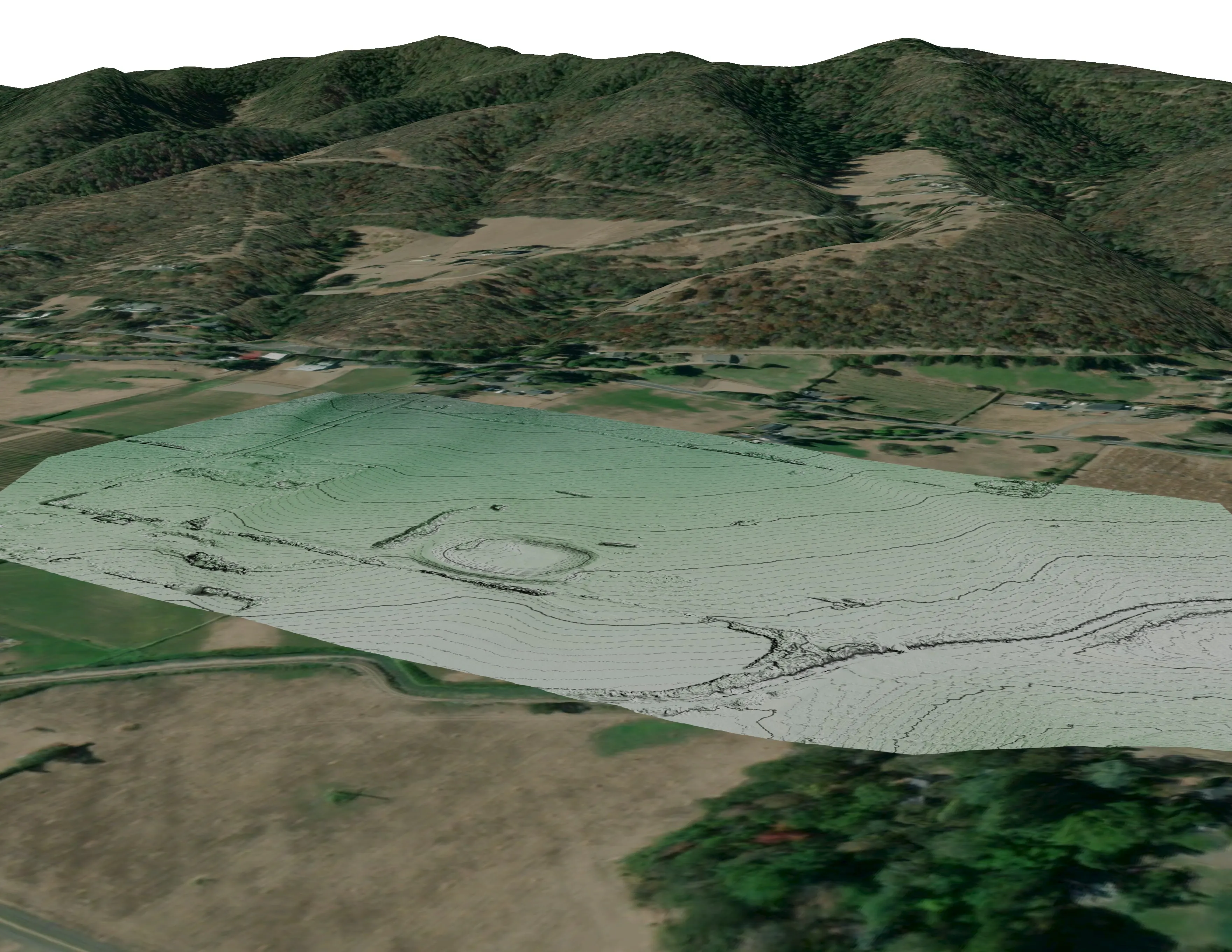
A school site, ready for the engineers
Pacific 3D Reality Capture, for the Brookings Harbor High School campus
Drone LiDAR terrain and contours over a 37 acre school campus, delivered as plan sheets and CAD ready data for the design team.
Read the caseEnid, the wheat capital, field by field.
A field, a shelterbelt, a cooperative corridor or a fire district's planning area. Tell us the ground and the season and Enid goes on the trip.
Email info@roguerecon.net or call 808 298 6290.