

Stillwater, Oklahoma
The land grant university's town, burned over in March 2025.
Stillwater is Oklahoma State University, its range, forestry and fire ecology programs, and the research ranges west of town. In March 2025 wind driven fires ran through Payne County and burned homes at the edge of the city. Fuels mapping, research baselines and structure exposure are the flights that fit here.
The ground
Stillwater and Payne County
The city sits in the cross timbers of Payne County, post oak and blackjack on the hills and tallgrass in the bottoms, with Stillwater Creek through town and Lake Carl Blackwell and the university's research range to the west. Boomer Lake is in the city; the Cimarron River runs to the south. The March 2025 fires came in on the south west wind across exactly this mix of grass, brush and oak, into neighbourhoods on the edge of town.
Who buys mapping here
- City of Stillwater: Public Works, Parks and Recreation, Stillwater Utilities and its line corridors, Emergency Management, the GIS group
- Payne County: Emergency Management, the county commissioners, the rural fire departments that fought the 2025 fires
- Oklahoma State University: the Department of Natural Resource Ecology and Management, the research range and forest, campus facilities, the Fire Ecology program
- Central Rural Electric Cooperative and Oklahoma Gas and Electric
- The Payne County Conservation District and the Oklahoma Conservation Commission's programs
- The Lake Carl Blackwell and Boomer Lake watershed interests; Cushing, Perkins, Cimarron City and the county towns
- Cattle and wheat operations across the county and the landowners rebuilding after March 2025
Getting there
From Medford
Stillwater is an hour north east of Oklahoma City, between the capital and Tulsa, a day on the Oklahoma trip.
The public lidar
What exists, and what it misses
Payne County has federal lidar and the university has flown research sites at higher density. The 2025 footprint, the neighbourhoods that burned and the research range want current, repeatable flights: fuels and exposure per structure, recovery on the burned units, and the canopy and biomass measures the range and forestry programs study.
What we would fly
The lanes that fit Stillwater
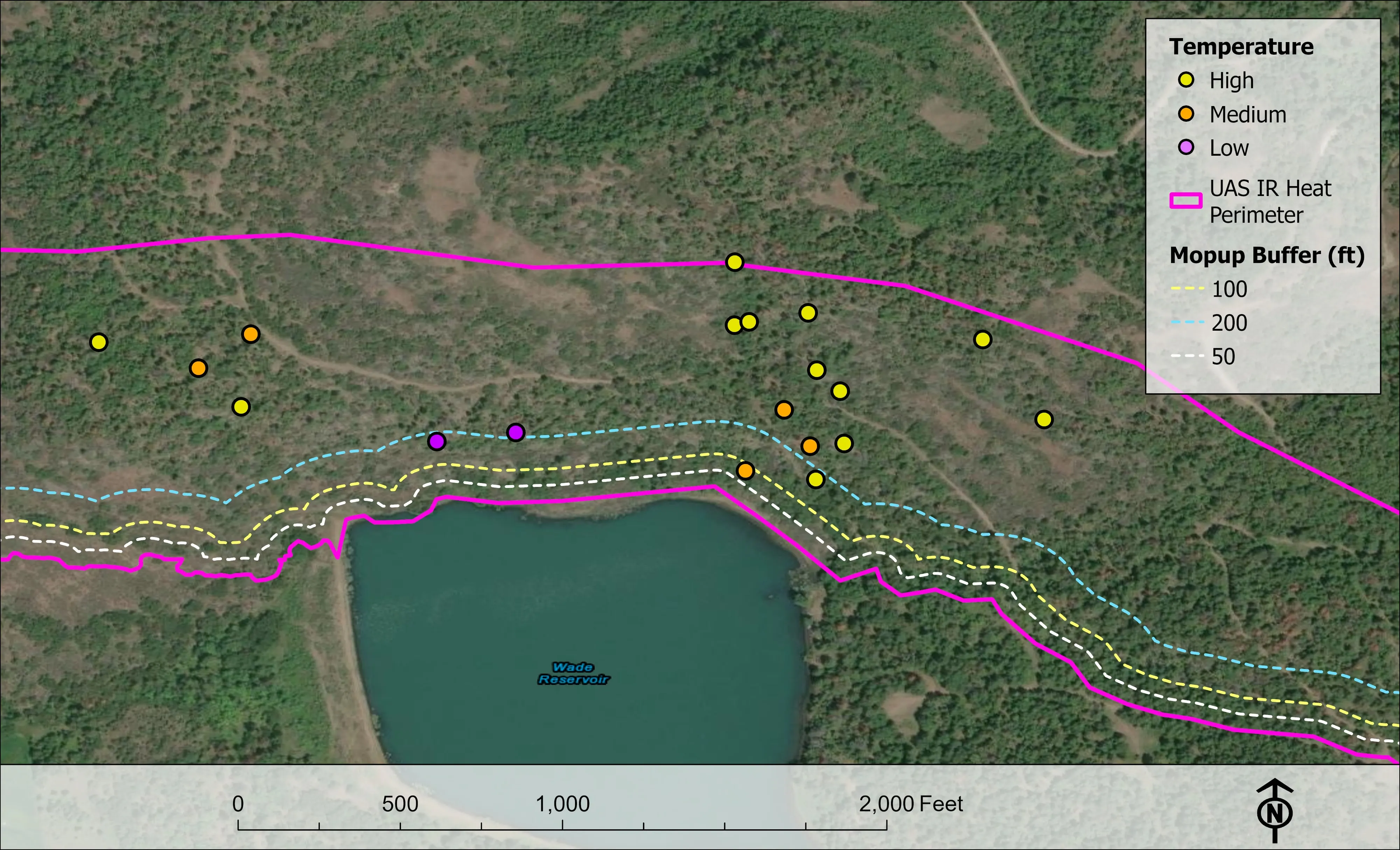
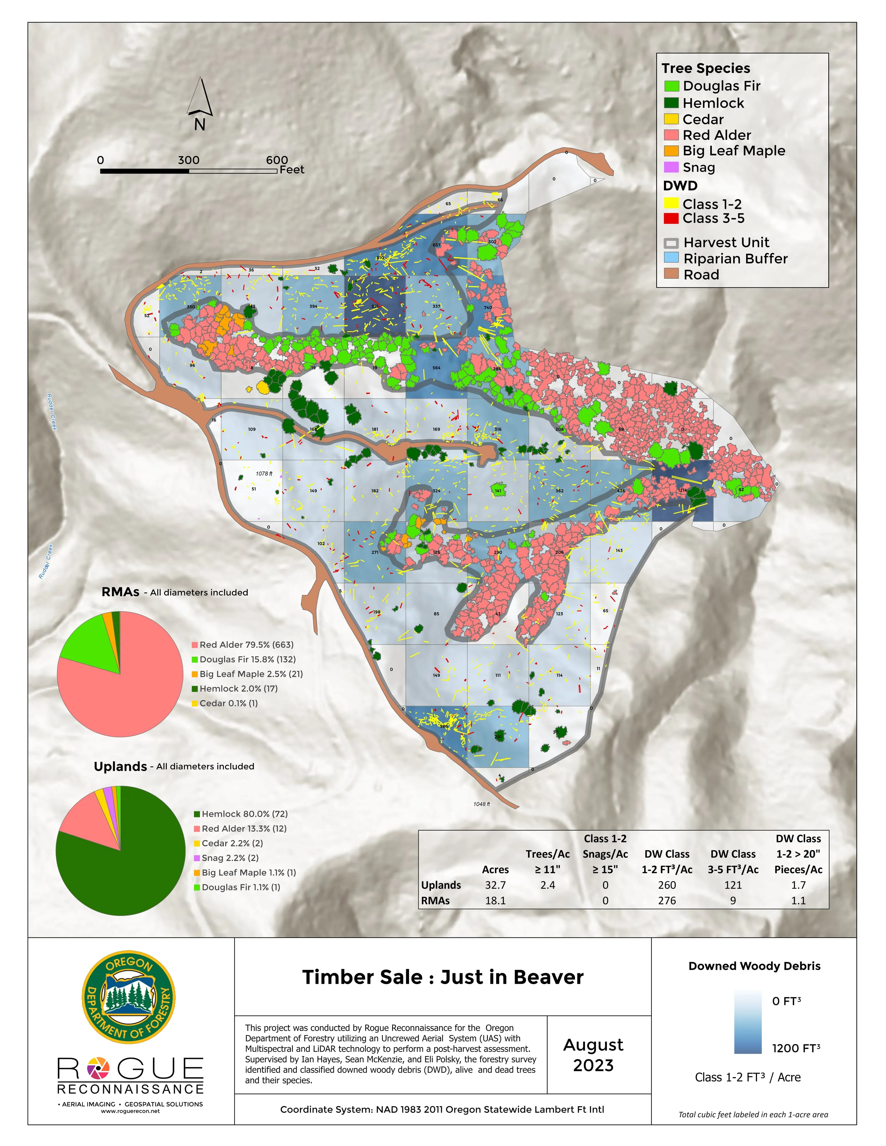
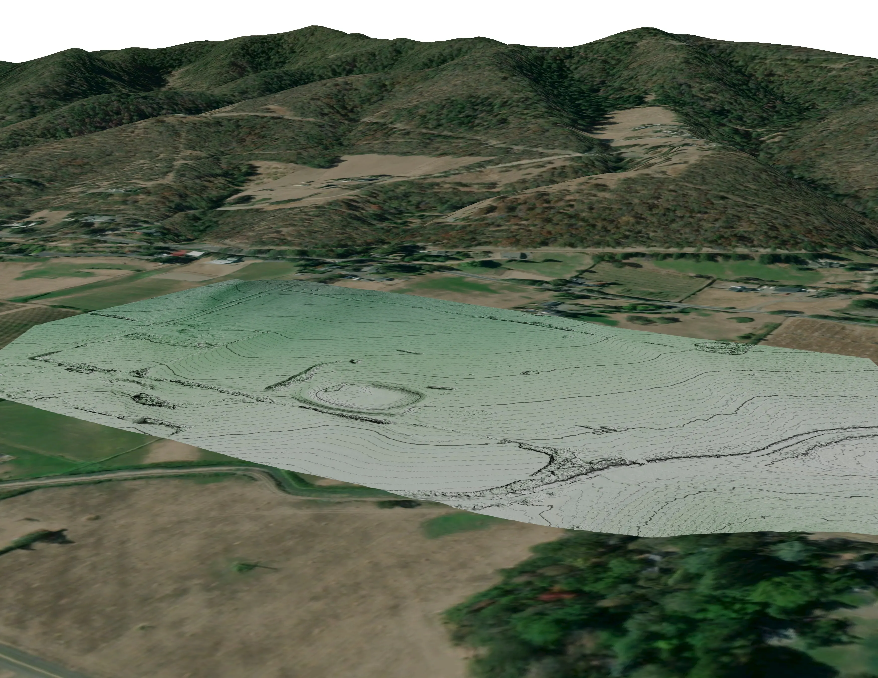
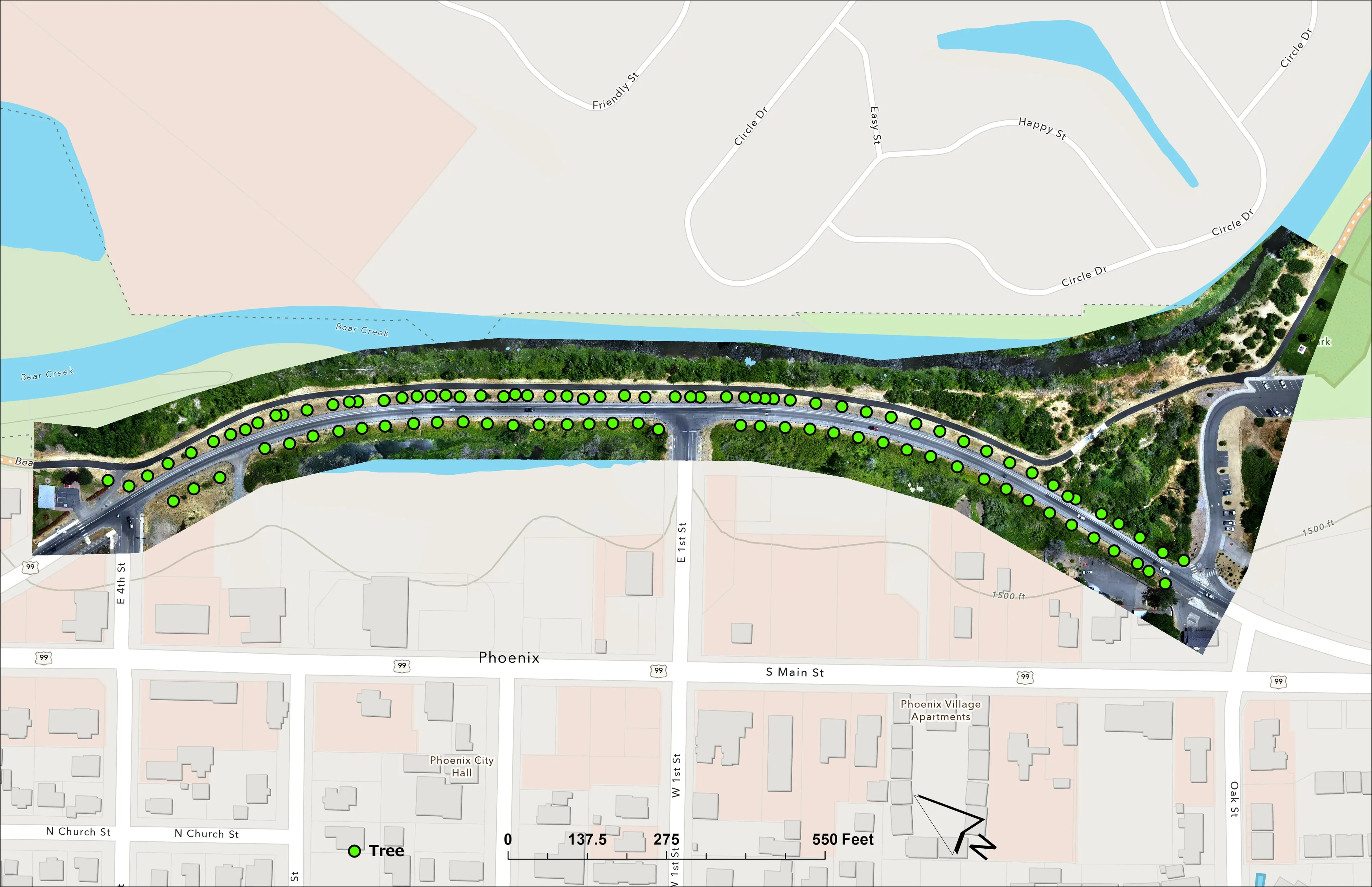
Fuels mapping and CWPP supportEnvironmental and habitat mappingWildland fire infrared
Nearest work
Payne County is ahead of us. The Oregon work that shows the method: a town's fuels and exposure numbers, a fire flown eleven nights running, and a watershed's trees classed by health.
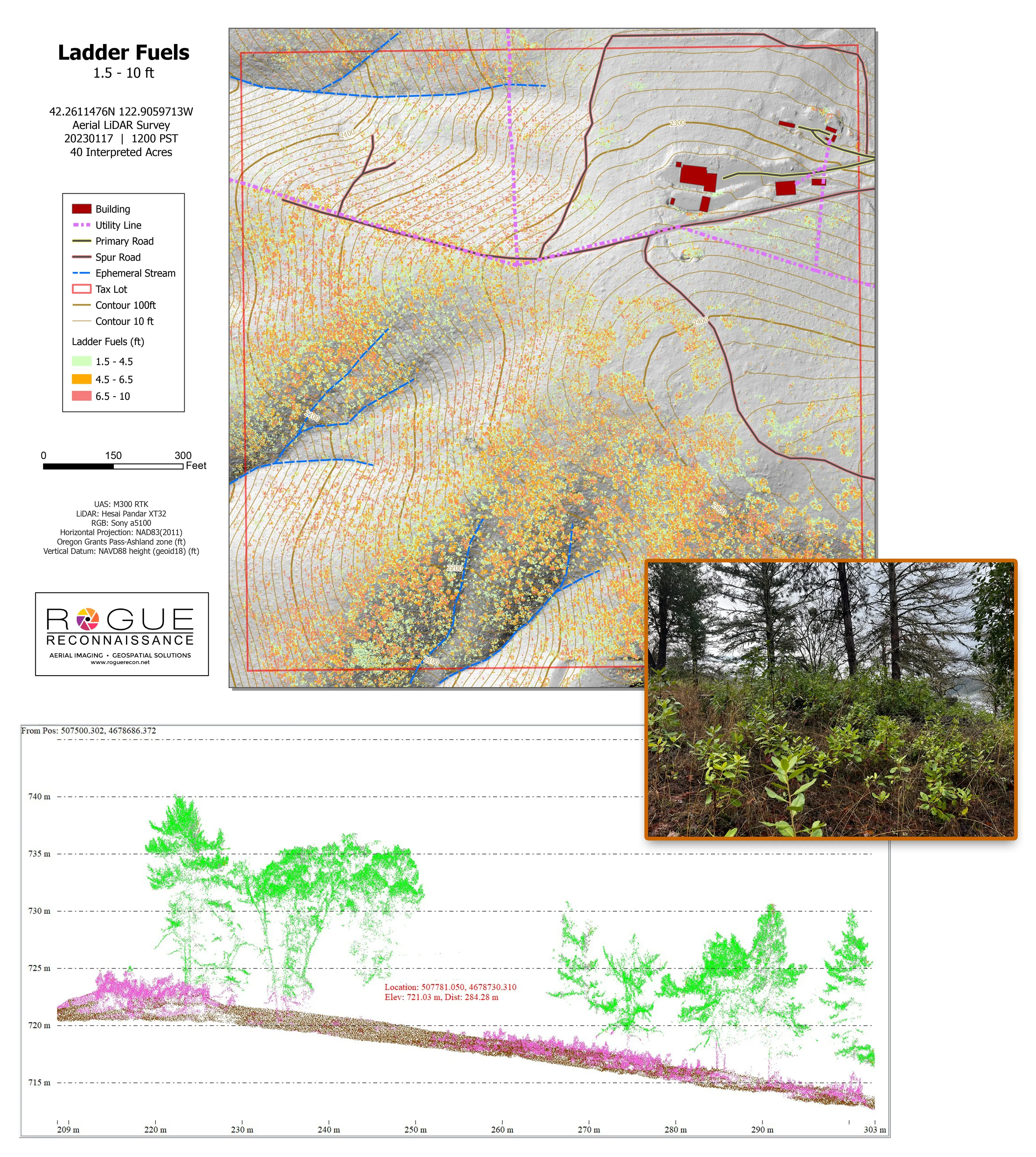
Citywide LiDAR for the Ashland CWPP
City of Ashland
Citywide drone LiDAR that gave the 2025 Ashland Community Wildfire Protection Plan its ladder fuel and structure exposure numbers.
Read the case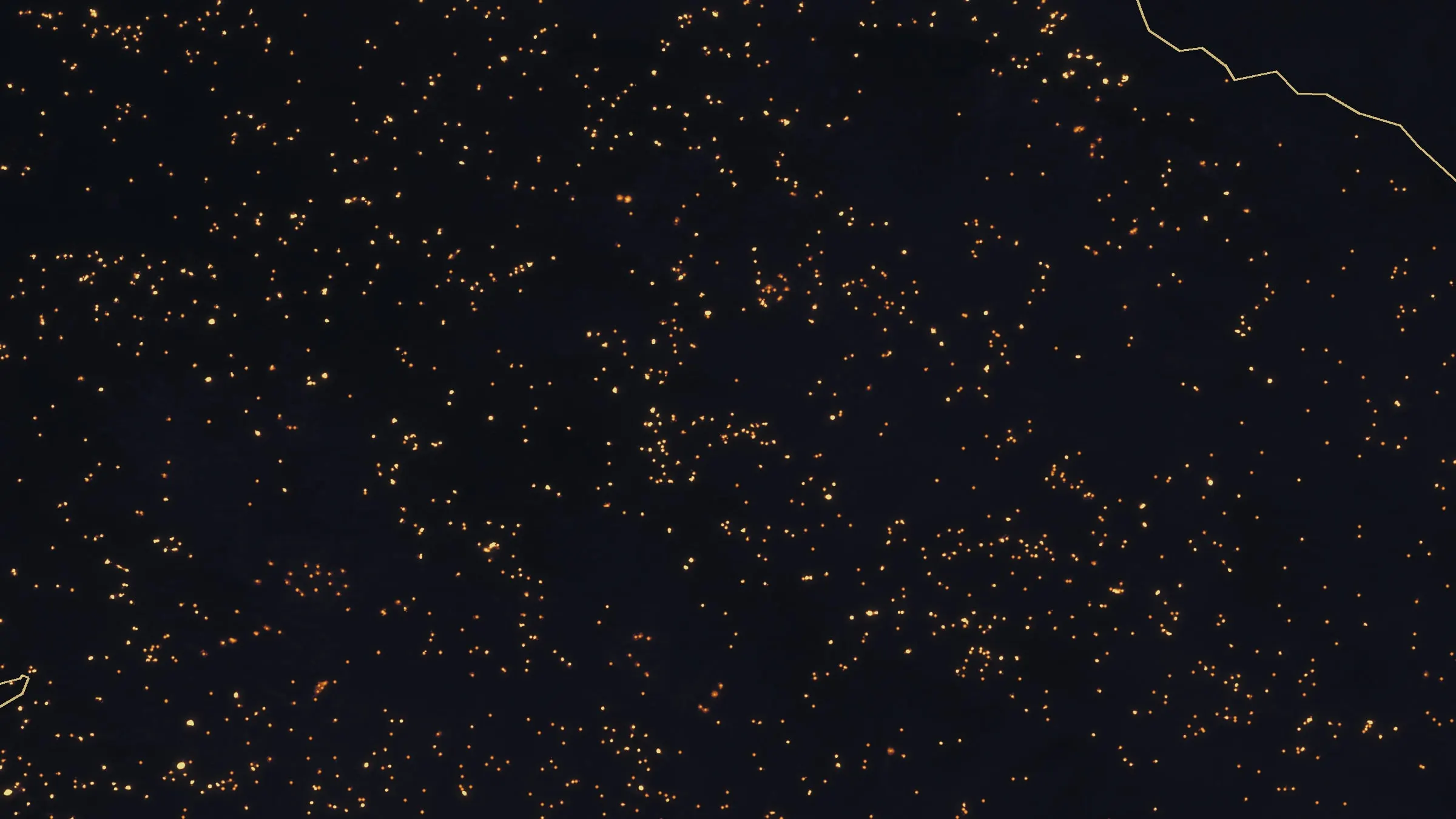
Fielder Mountain, eleven nights as the heat went out
Oregon Department of Forestry
Eleven nights of infrared on one steep fire in August 2026. The heat sources on the map fell from 2,852 on the first night to 58 on the last.
Read the case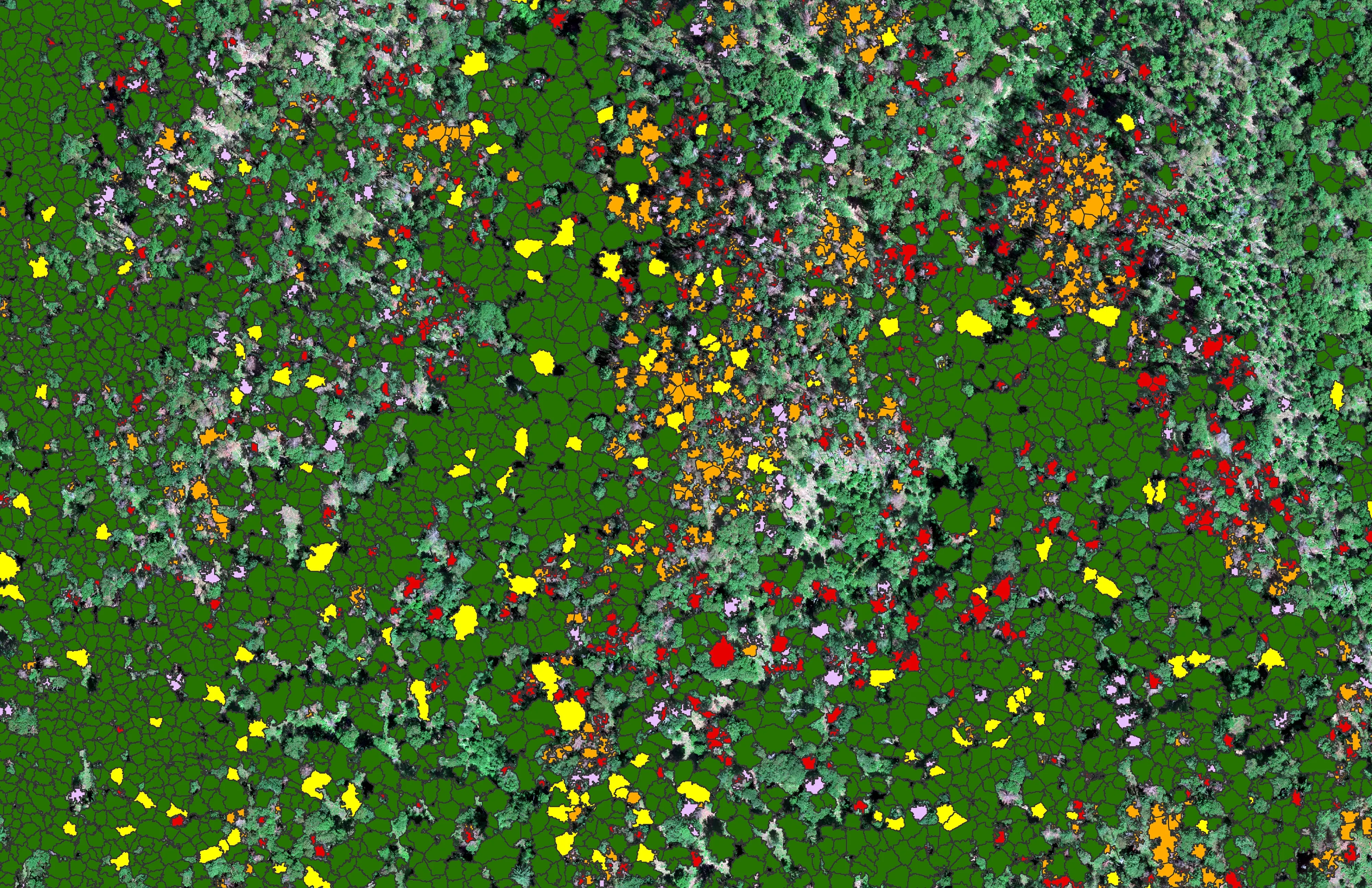
At risk, declining, dieback, dead
City of Ashland
About 30,000 Douglas fir crowns classed by health across the city's watershed lands, so the city could see the die off and act on it.
Read the caseStillwater, after March 2025.
The burned neighbourhoods structure by structure, a research range baseline, or a fuels planning area for the county. Tell us which and we will make Stillwater a day of the trip.
Email info@roguerecon.net or call 808 298 6290.