

Norman, Oklahoma
The university town where the weather is studied and the cross timbers burn.
Norman is the University of Oklahoma and the National Weather Center, which means more people here understand fire weather than almost anywhere. East of town the cross timbers run to Lake Thunderbird through neighbourhoods built in the oaks. Fuels mapping, campus canopy and research baselines are the flights that fit.
The ground
Norman and Cleveland County
The city sits on the plain south of the Canadian River with the campus and the weather center at its heart, and climbs east into sandy cross timbers hills, post oak and blackjack, toward Lake Thunderbird and the Little River. The east side neighbourhoods sit in those oaks on acre lots, which is the fire problem; the west side is wheat and the river bottoms. Moore and the tornado alley towns are a few minutes north.
Who buys mapping here
- City of Norman: Parks and Recreation, the urban forestry program, Utilities, Emergency Management and the GIS group
- Cleveland County: Emergency Management, Engineering; the Norman Fire Department and the volunteer departments east of town
- The University of Oklahoma: campus facilities, the National Weather Center partners, the geography and environmental sustainability programs
- Oklahoma Electric Cooperative, headquartered in Norman, and Oklahoma Gas and Electric
- The Lake Thunderbird watershed groups and the Central Oklahoma Master Conservancy District
- Moore, Noble, Purcell and the other Cleveland County towns
- Homeowner associations in the cross timbers east of the city and the developers building there
Getting there
From Medford
Norman is twenty minutes south of Oklahoma City on Interstate 35, flown on the same days as the capital.
The public lidar
What exists, and what it misses
Cleveland County has federal lidar and the county and the Association of Central Oklahoma Governments use it for floodplain and planning. For the east side's fuels question, the campus and city canopy, and the research programs that want a measured baseline, the answer is a current drone flight at crown and structure resolution.
What we would fly
The lanes that fit Norman
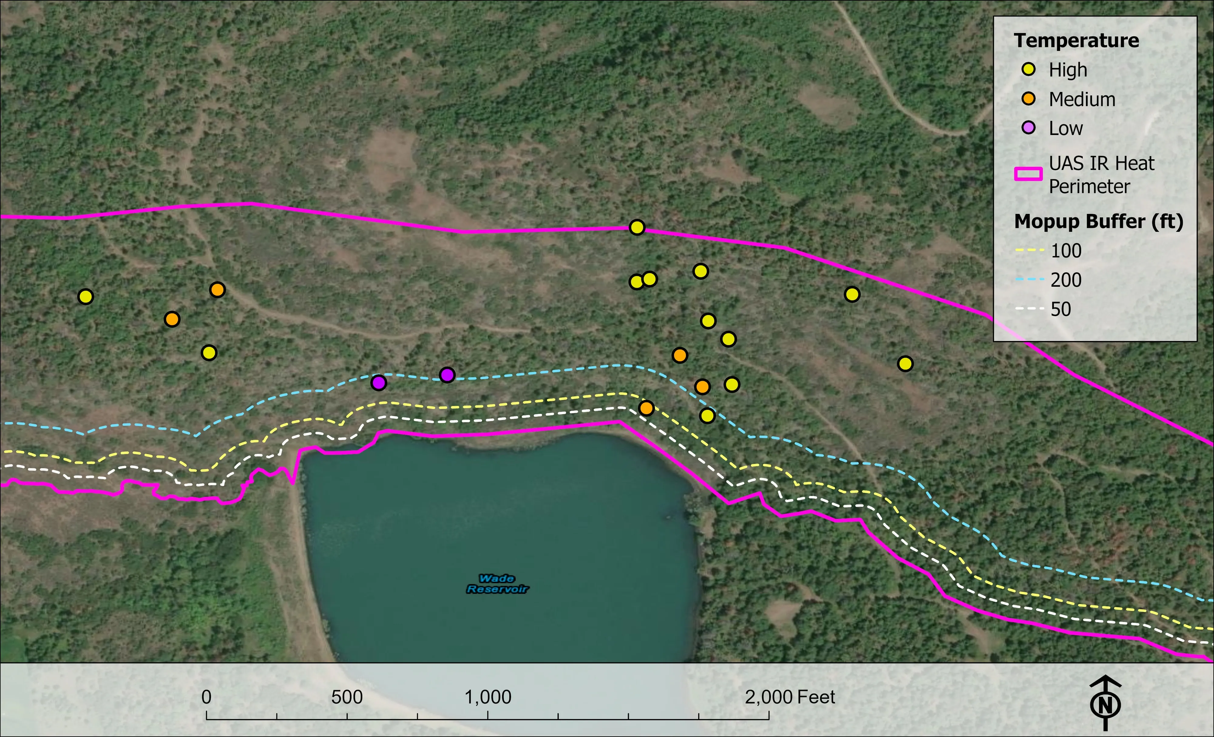
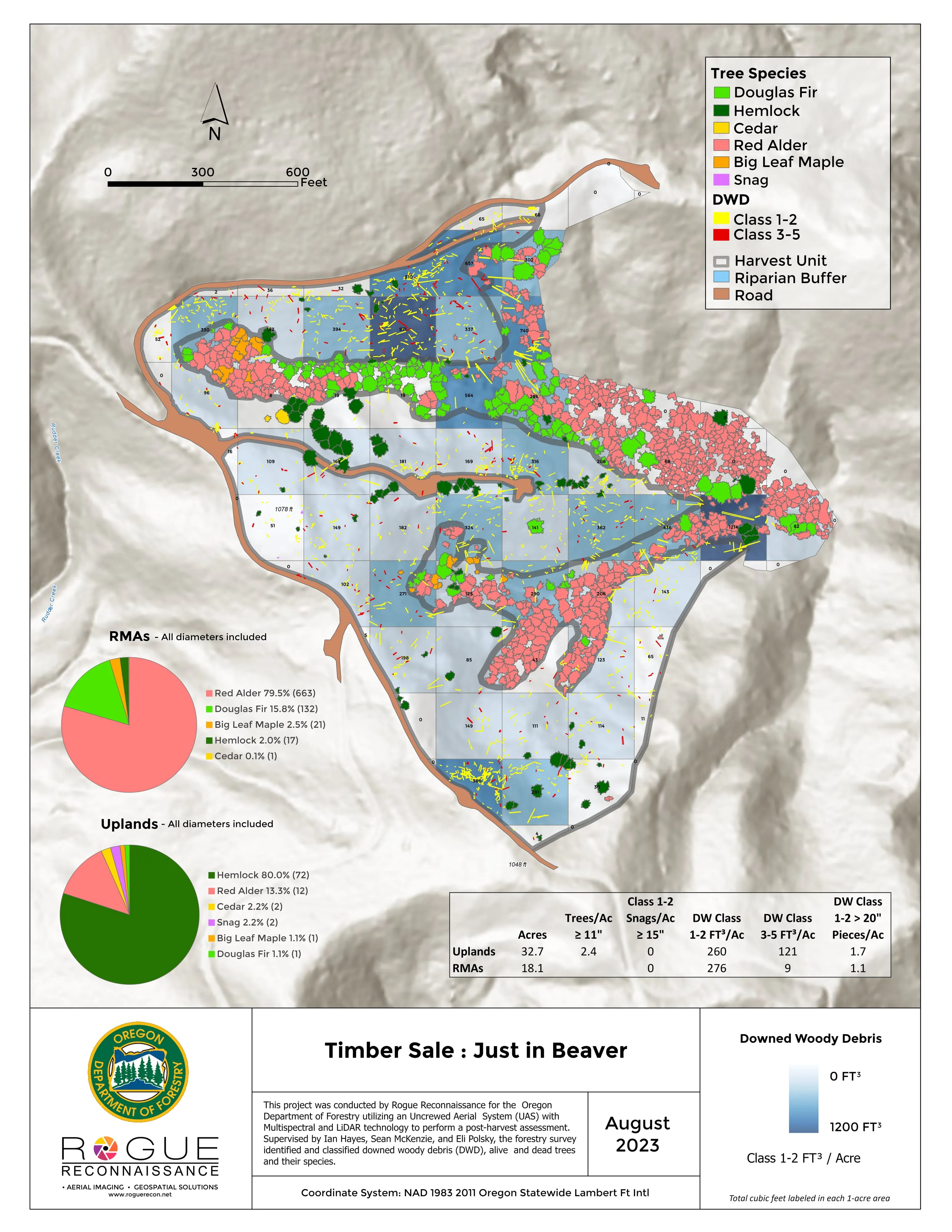
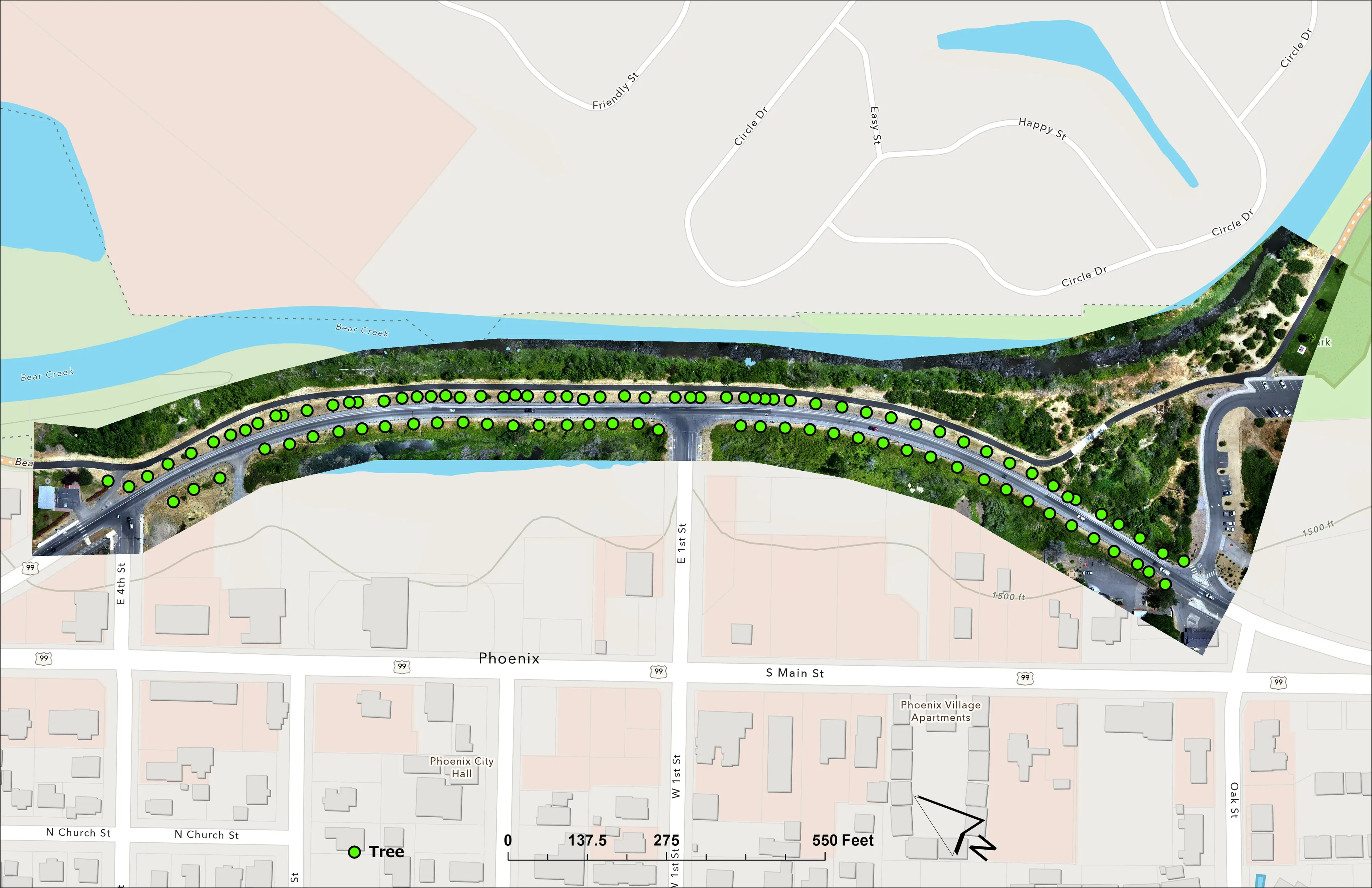
Fuels mapping and CWPP supportTree inventory and canopyGIS consulting
Nearest work
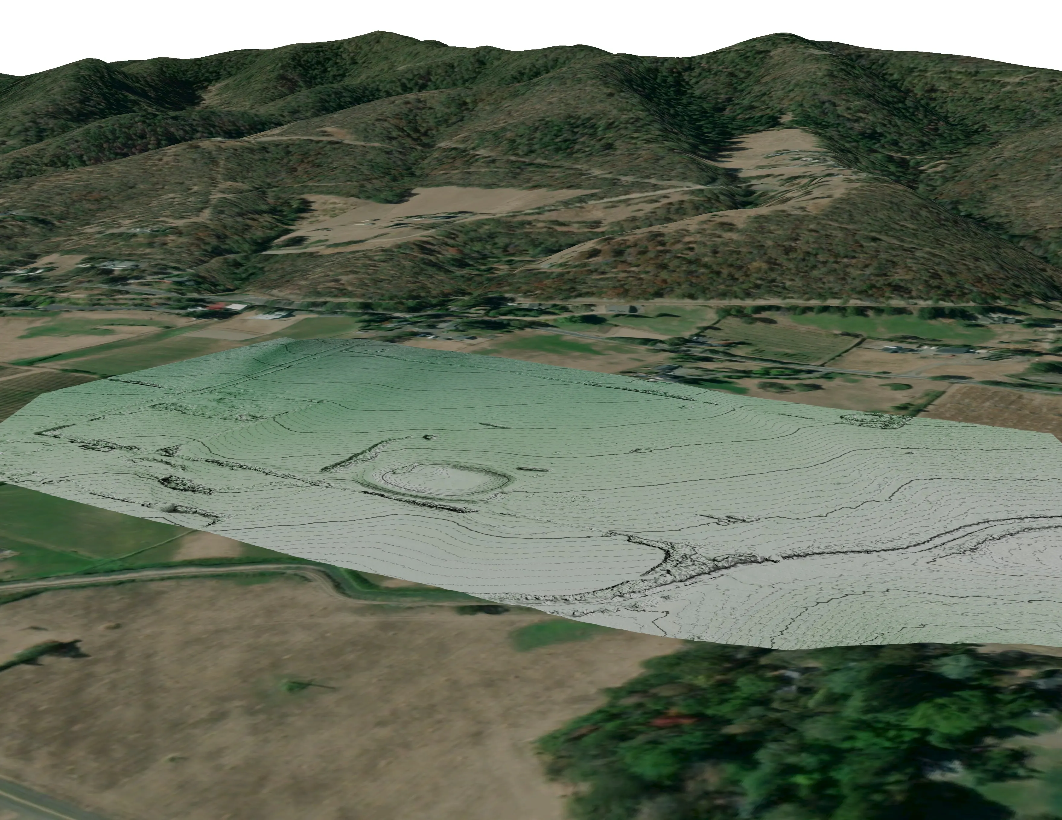
Cleveland County is not on our log. The applicable Oregon work: a town's fuels and exposure numbers behind its wildfire plan, a watershed's trees classed by health, and a city inventory crown by crown.
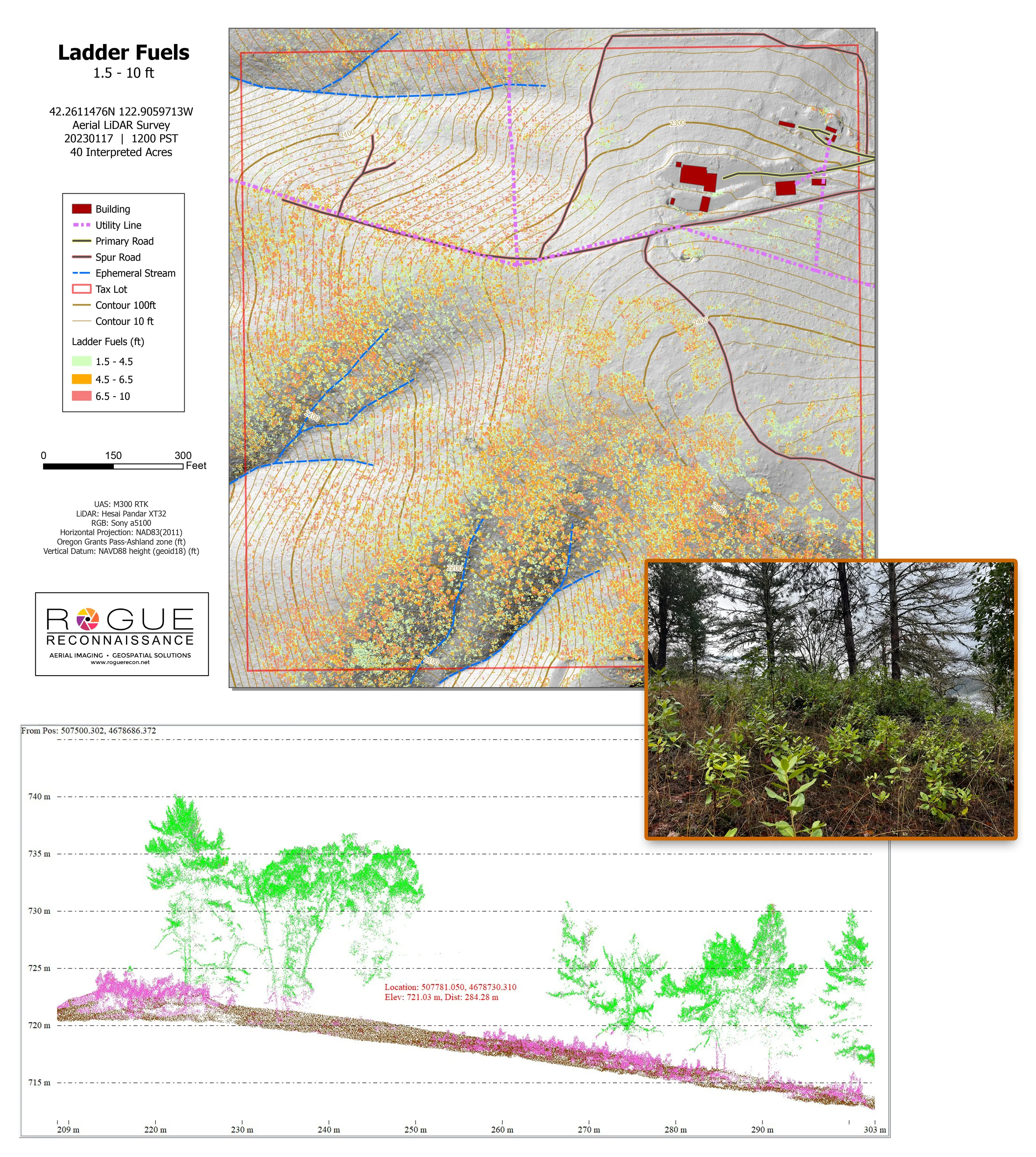
Citywide LiDAR for the Ashland CWPP
City of Ashland
Citywide drone LiDAR that gave the 2025 Ashland Community Wildfire Protection Plan its ladder fuel and structure exposure numbers.
Read the case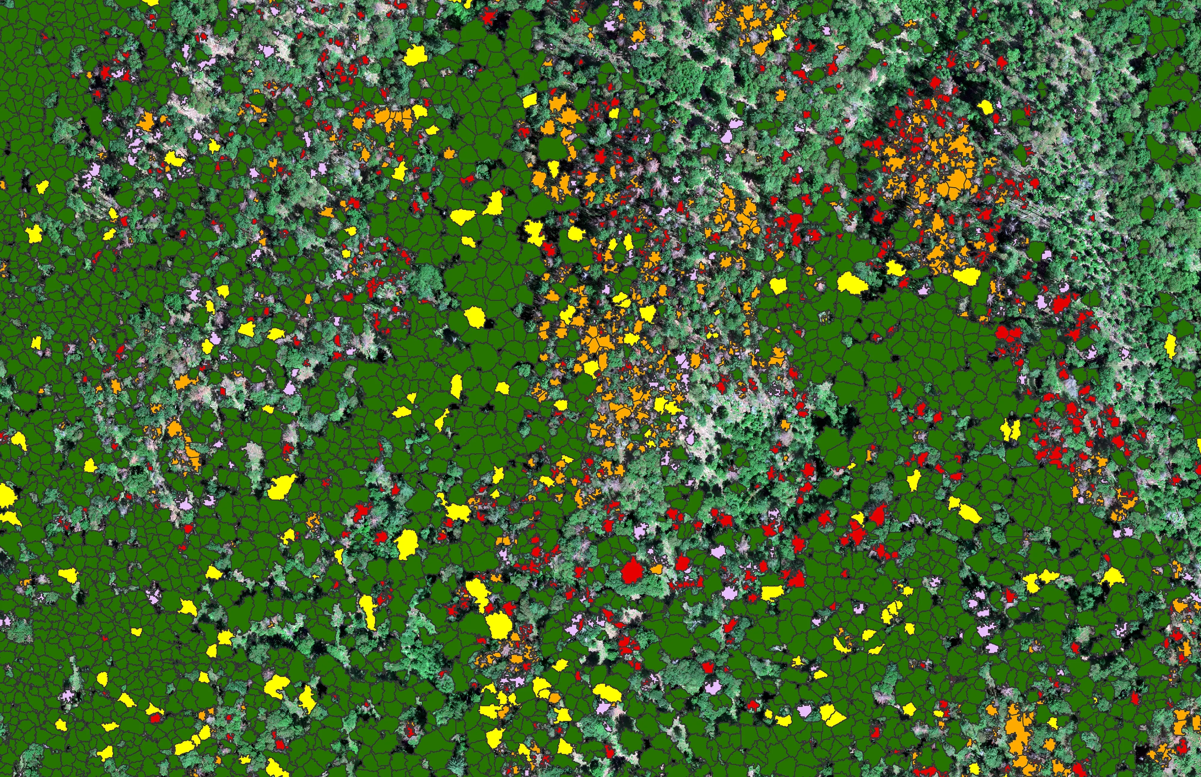
At risk, declining, dieback, dead
City of Ashland
About 30,000 Douglas fir crowns classed by health across the city's watershed lands, so the city could see the die off and act on it.
Read the case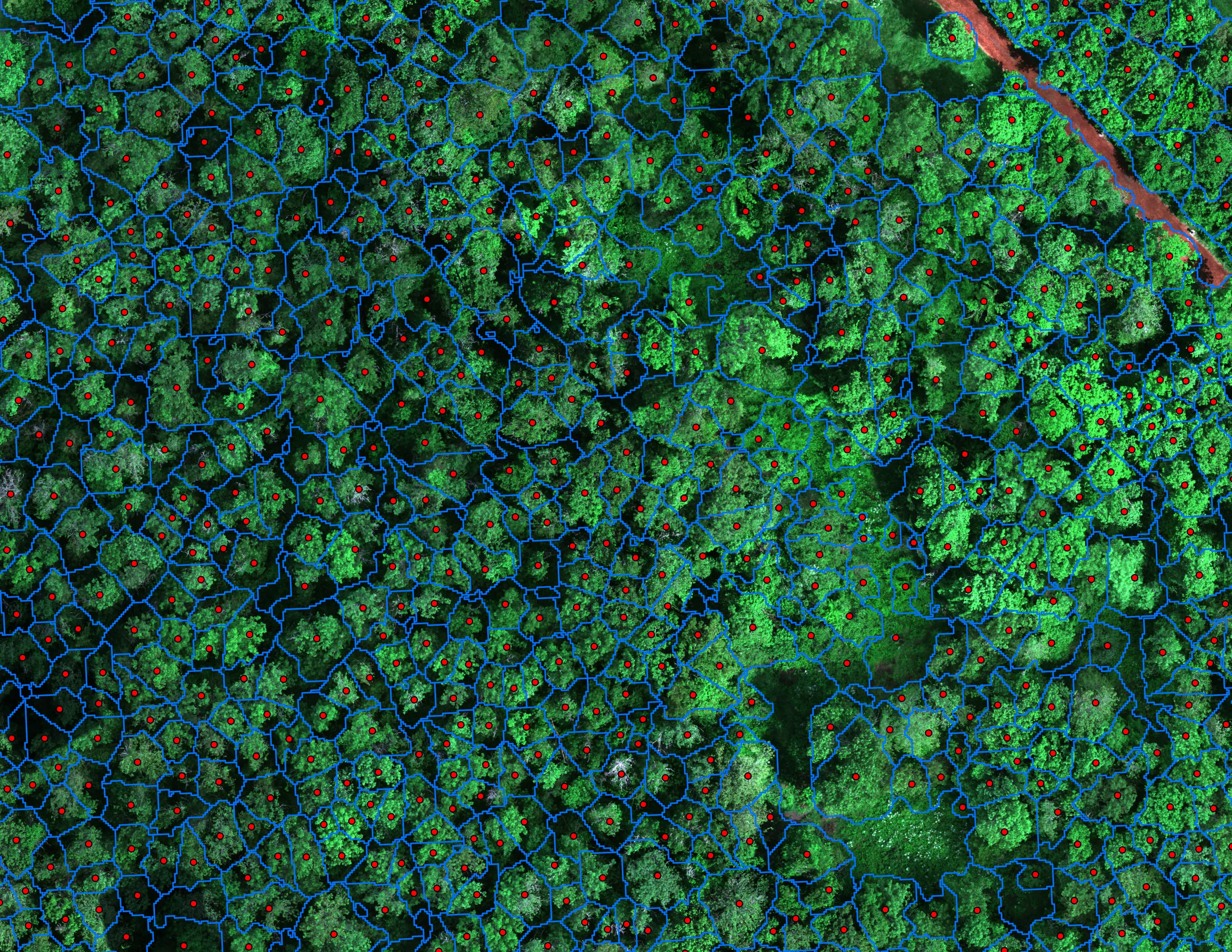
Finding every Oregon ash before the borer does
City of Eugene, Parks and Open Space
12,632 crowns classified across 390 acres of riparian canopy. 5,261 of them Oregon ash.
Read the caseNorman, twenty minutes from the start of the trip.
The east side oaks structure by structure, the campus canopy, or a research baseline for a program at the university. Tell us and we will fly it with the capital.
Email info@roguerecon.net or call 808 298 6290.