

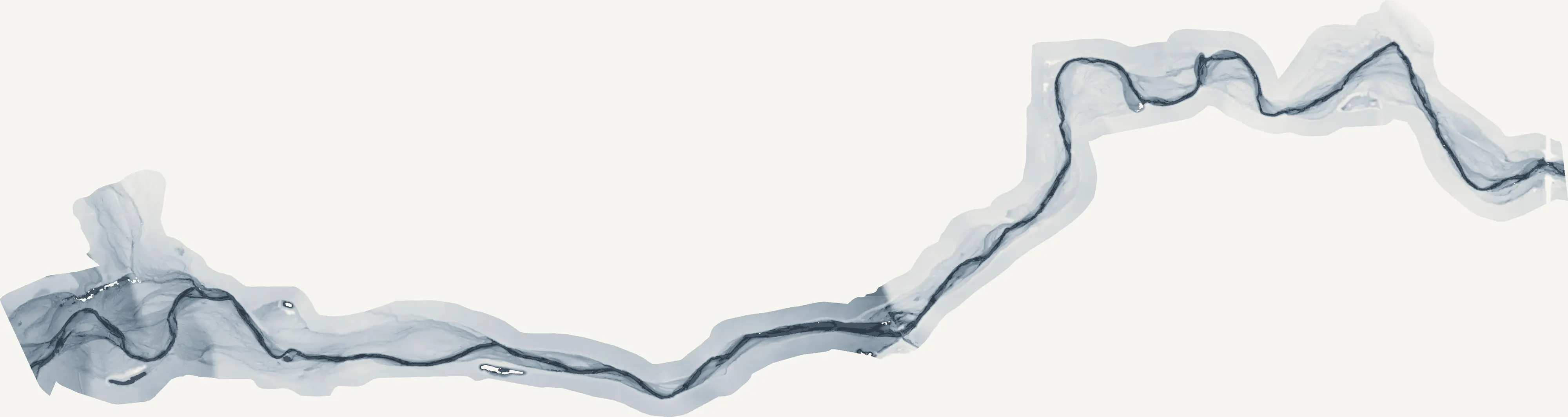
Stockton, California
The Delta's inland port, levees on every side, orchards up to the levees.
Stockton is a seaport eighty miles from the sea, at the edge of the Delta where the San Joaquin's islands sit below the water behind levees the reclamation districts maintain, and where the county's orchards and vineyards run up to the levee toe. Farm planning, levee and floodplain terrain and canopy for a city replanting its streets are the flights that fit.
The ground
Stockton and San Joaquin County
The city sits on the deep water channel at the Delta's eastern edge, with the Calaveras River through town and the Mokelumne and the Stanislaus bounding the county north and south. West are the Delta islands, subsided farmland behind levees, and the channels the state's water flows through; east the county is cherries, walnuts, almonds, grapes and tomatoes up to the foothills, with Lodi's vineyards to the north. Flood is the county's constant question.
Who buys mapping here
- City of Stockton: Public Works, Community Services and Parks, the Municipal Utilities Department, the GIS group; Lodi, Manteca, Tracy
- San Joaquin County: Public Works, the Office of Emergency Services, Parks and Recreation, the Agricultural Commissioner
- The reclamation districts of the Delta islands and the San Joaquin Area Flood Control Agency
- The Port of Stockton; the Delta Stewardship Council and the Delta Conservancy
- San Joaquin County Resource Conservation District; the Mokelumne and Calaveras river groups
- Pacific Gas and Electric; the irrigation and water districts of the county
- University of the Pacific and San Joaquin Delta College grounds
- Cherry, walnut, almond, grape and tomato operations across the county
Getting there
From Medford
About six and a half hours from Medford down Interstate 5. Stockton and Modesto are a pair on the northern valley trip, with Sacramento an hour north.
The public lidar
What exists, and what it misses
The Delta has been flown repeatedly for the levees and the state's water planning, and the county has countywide lidar for floodplain work. A levee reach after a high water year, an island's subsidence, an orchard's drainage or a city street tree inventory: each is a current flight at its own scale, which is what we add.
What we would fly
The lanes that fit Stockton
Nearest work
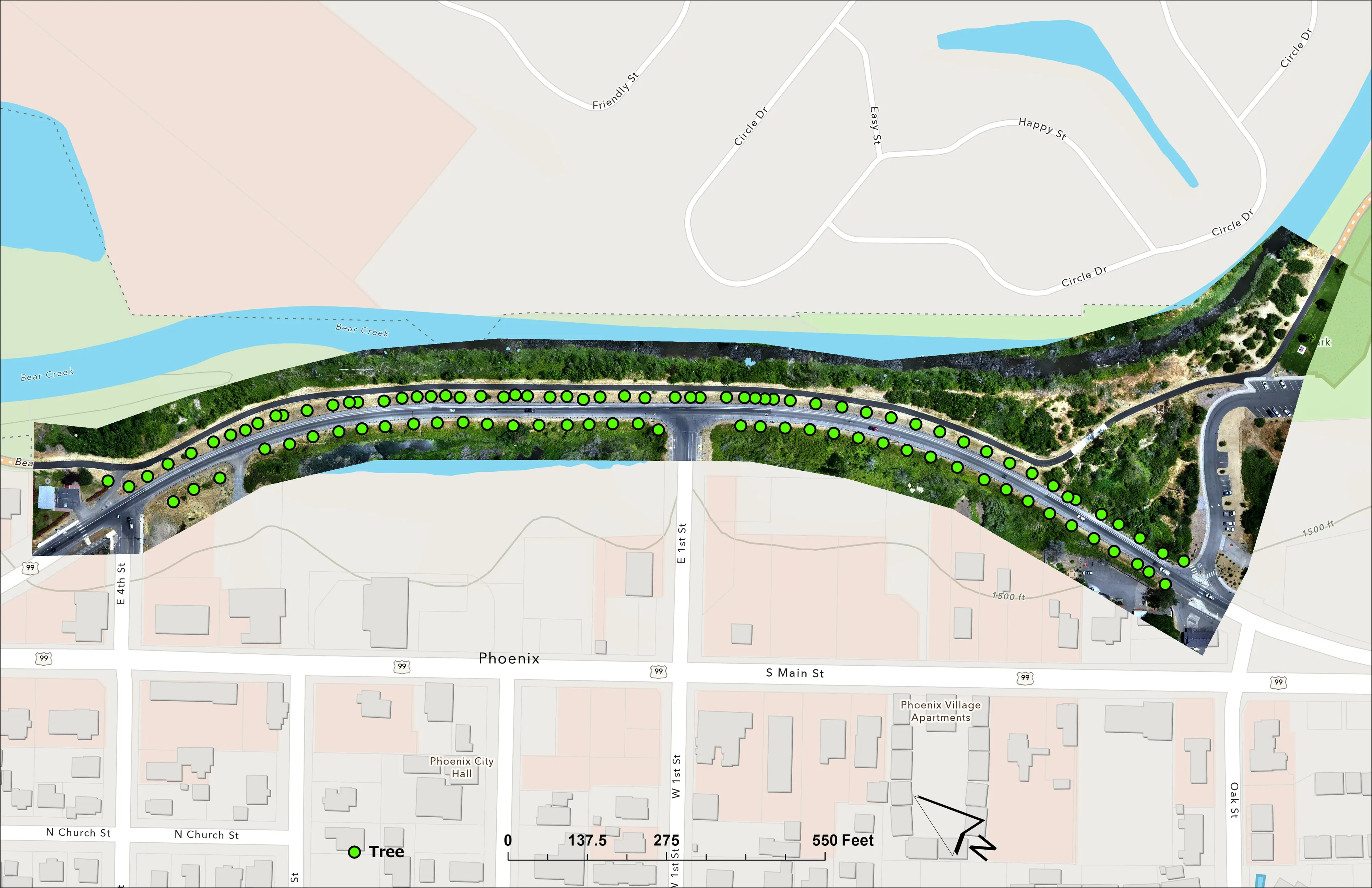
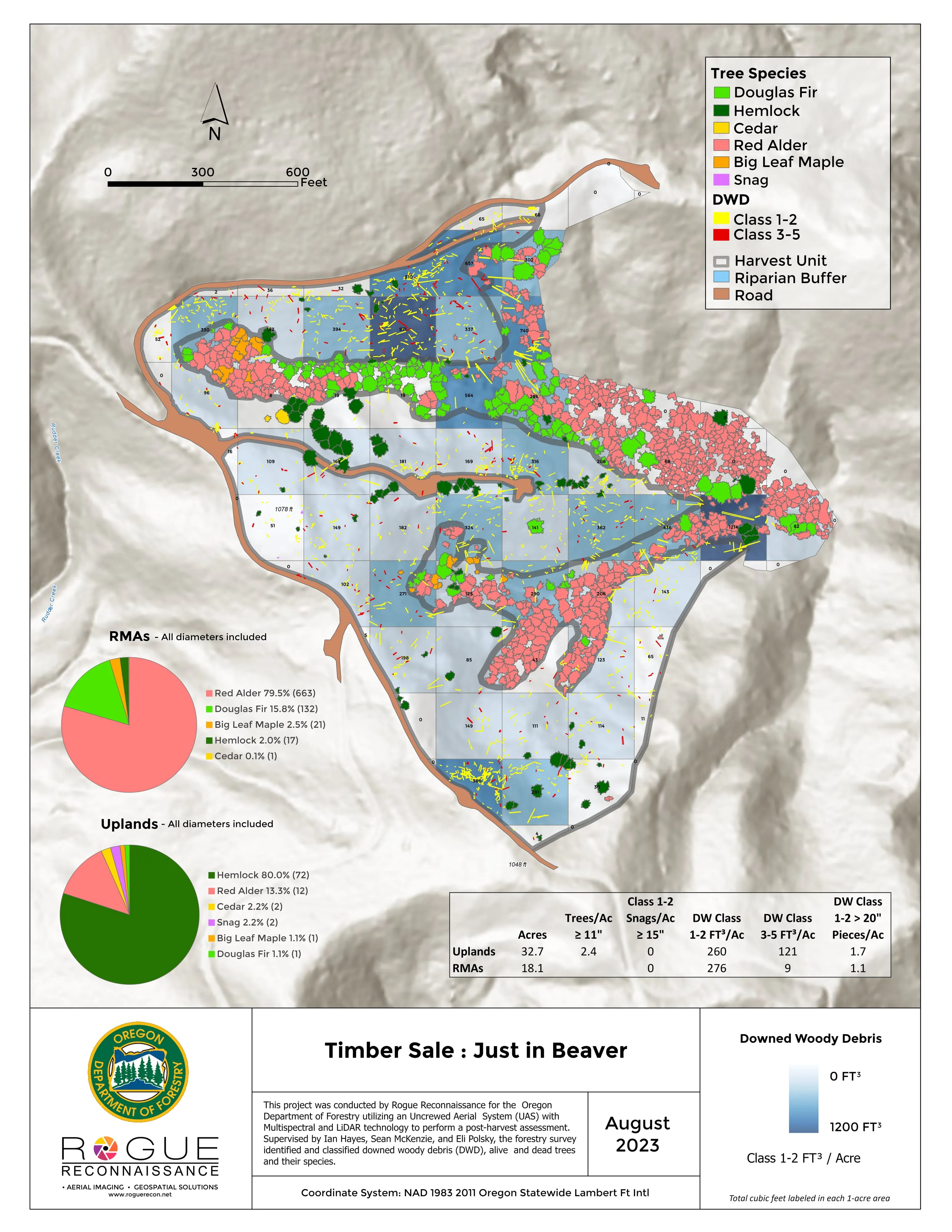
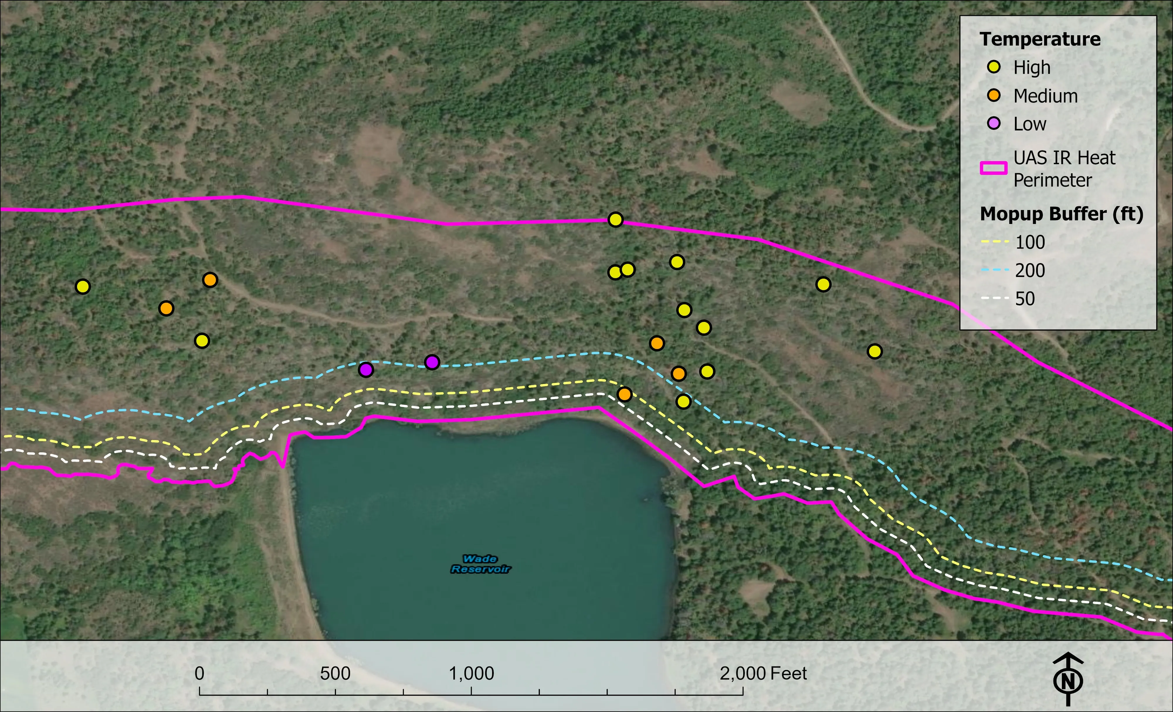
San Joaquin County has not had the aircraft over it. Comparable work: a farm planned on drone LiDAR terrain, a river corridor with its relative elevation model, and a city counted crown by crown.
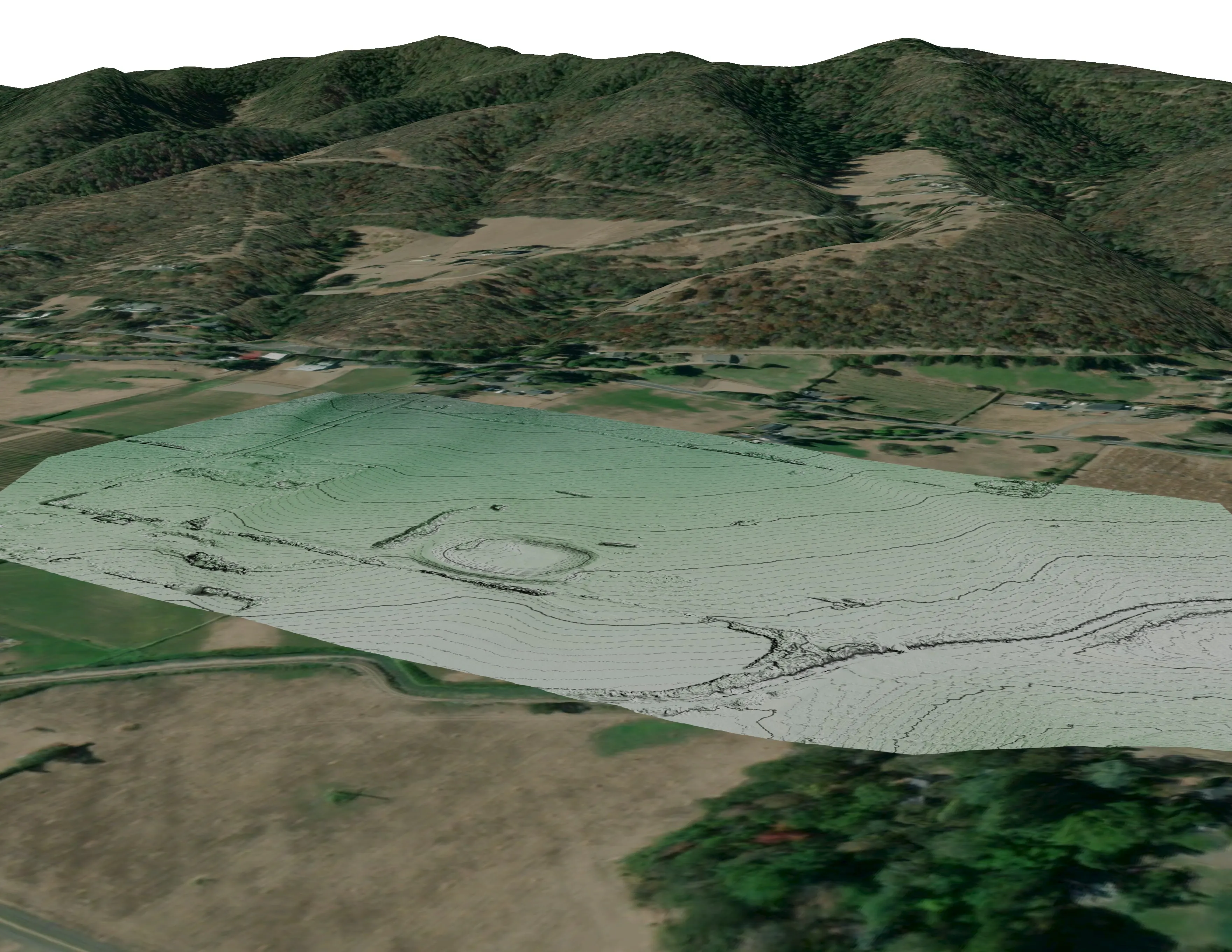
A farm plan on real ground
Plant Oregon with Oregon Urban Rural and Community Forestry, a tree nursery in development
Terrain, ponds, tree mounds, and a site plan drawn on a current ortho of the whole farm.
Read the case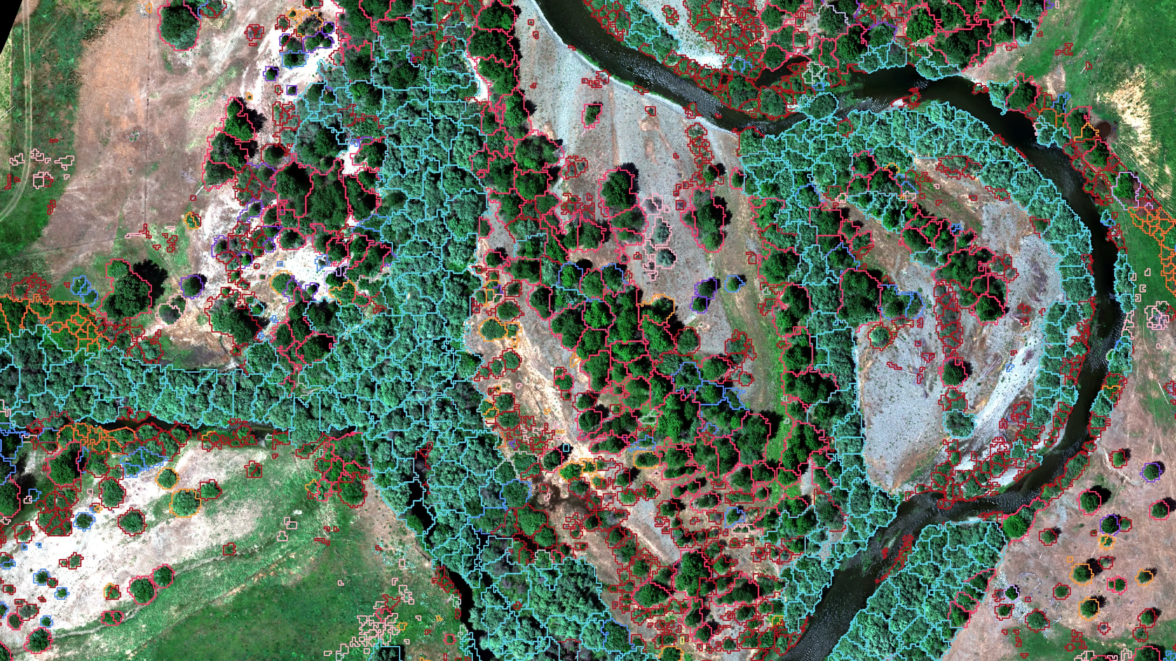
Riparian species and cold seeps on the Scott River
Cascade Stream Solutions, with a botanist leading field identification. We flew it as their subcontractor and reported to them.
Fourteen riparian species classified across 423 acres of river corridor, with thermal mapping that pointed to groundwater fed cold seeps.
Read the case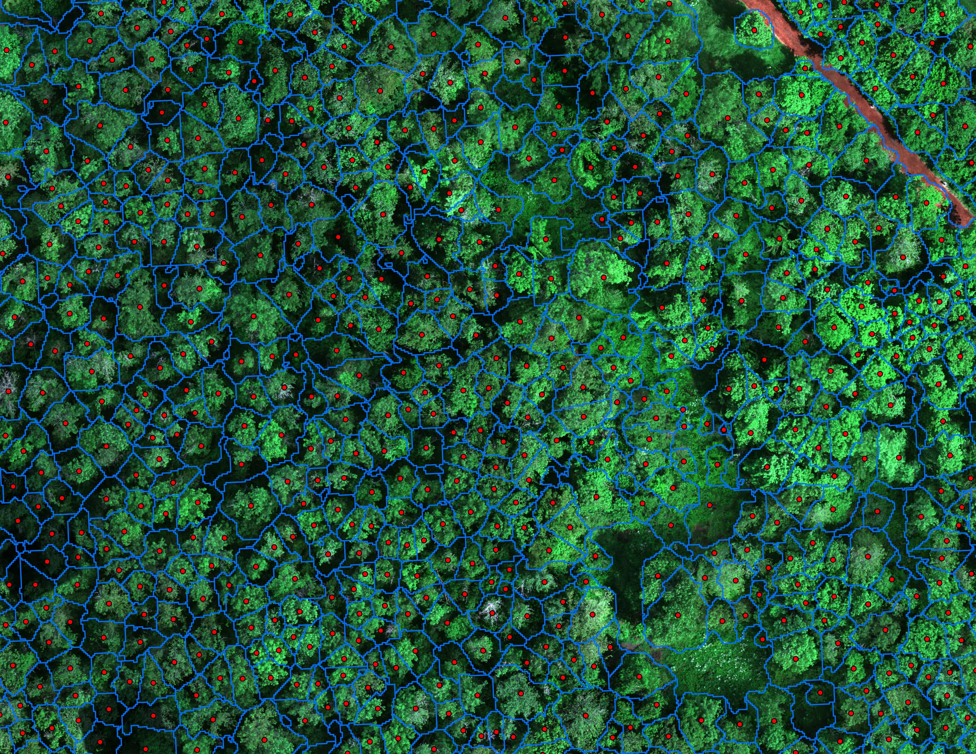
Finding every Oregon ash before the borer does
City of Eugene, Parks and Open Space
12,632 crowns classified across 390 acres of riparian canopy. 5,261 of them Oregon ash.
Read the caseThe record
Every project we have published
Forestry and trees
- Downed woody debris, measured from the air
- Finding every Oregon ash before the borer does
- At risk, declining, dieback, dead
- Post harvest monitoring for ODF
- A planting corridor through Phoenix, tree by tree
Rivers and habitat
- Riparian species and cold seeps on the Scott River
- Ten abandoned mines, bare earth under the chaparral
Wildfire fuels and planning
Night infrared on fires
- Night infrared on ODF incidents since 2019
- East Evans Creek, a season inside one fire
- Fielder Mountain, eleven nights as the heat went out
- Woodrat Mountain, from initial attack to the last check
- Interstate 5 at milepost 57, initial attack beside the freeway
- Tyee Ridge Complex
Terrain and site design
Farm planning
Stockton and the Delta.
A levee reach, an island, an orchard or the city's trees. Send the ground and the question and Stockton goes on the northern valley trip.
Email info@roguerecon.net or call 808 298 6290.