

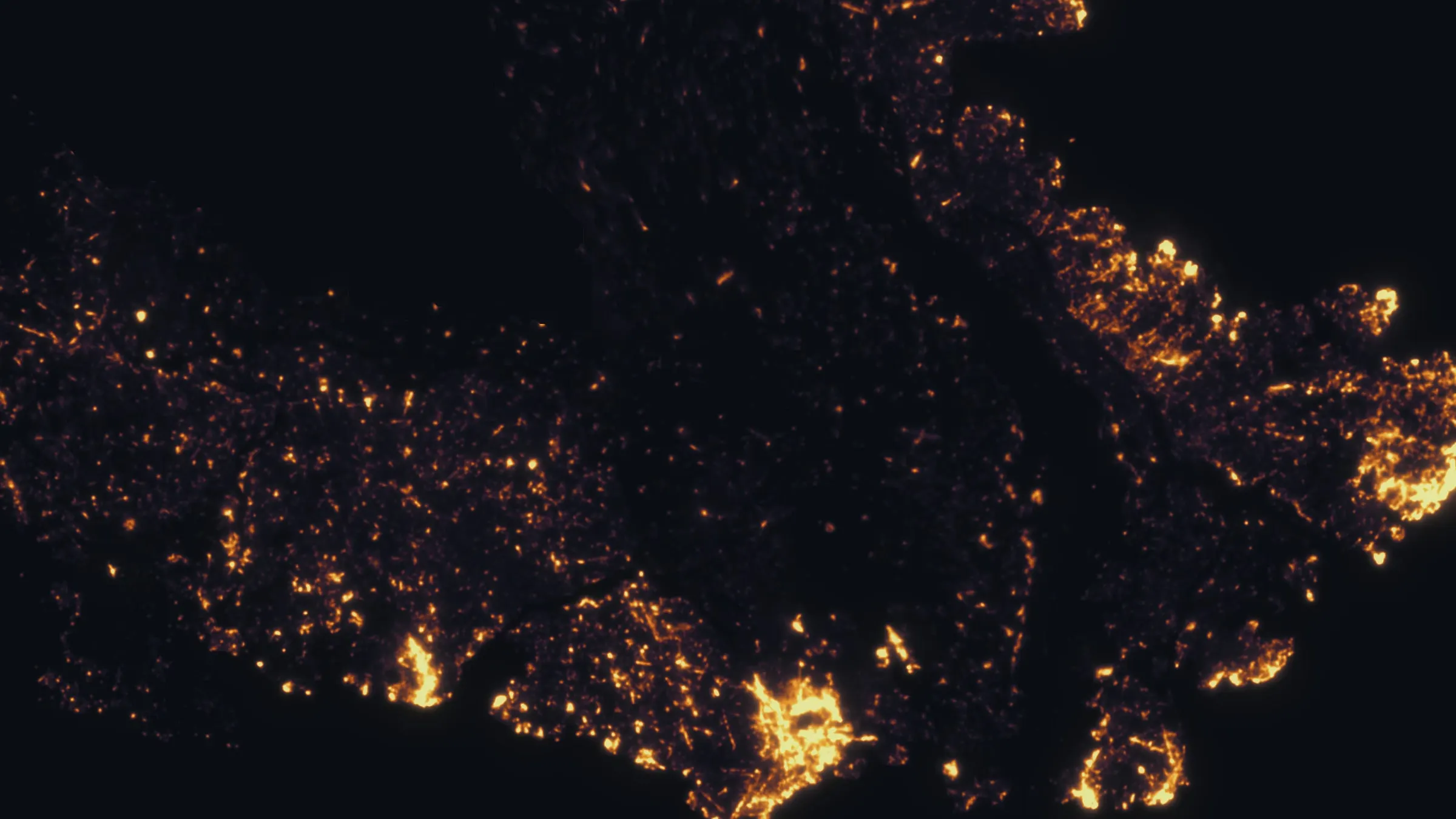
San Francisco, California
Forty seven square miles of planted forest, on hills, in fog.
San Francisco's trees were almost all planted, in the Presidio, in Golden Gate Park, on Mount Sutro and along every street, and the agencies that manage them count them in public. A crown by crown inventory from the air, repeated, is how a city on hills in fog keeps that count honest.
The ground
San Francisco and San Francisco City and County and San Mateo County
The city is hills and a planted forest on sand: the Presidio's historic cypress and eucalyptus under restoration, Golden Gate Park's thousand acres, Mount Sutro's eucalyptus reserve above the medical campus, McLaren Park, Twin Peaks and the street trees. South on the Peninsula the Public Utilities Commission manages the watershed lands around the Crystal Springs reservoirs, Douglas fir and oak woodland with a fire question of their own. Fog, salt wind and steep ground decide what grows where.
Who buys mapping here
- San Francisco Public Works, Bureau of Urban Forestry, and the street tree program
- San Francisco Recreation and Parks: Golden Gate Park, McLaren Park, Twin Peaks and the natural areas
- The Presidio Trust and the Golden Gate National Recreation Area
- San Francisco Public Utilities Commission and the Peninsula watershed lands
- The University of California, San Francisco and the Mount Sutro Open Space Reserve
- Friends of the Urban Forest and the city's canopy planning
- The Port of San Francisco and the Treasure Island redevelopment
- San Mateo County Parks and the Midpeninsula Regional Open Space District to the south
Getting there
From Medford
About six and a half hours from Medford, or a flight to San Francisco or Oakland with the aircraft as checked freight. City flights are planned around airspace authorisations, which we hold and file routinely.
The public lidar
What exists, and what it misses
The Bay Area has public lidar from the state and USGS programs, and the city has flown its own for planning. A tree inventory that the street tree program, the park department and the Presidio Trust can each use needs species and condition on every crown at a date they chose, and the watershed lands need a fuels picture the regional terrain data does not carry.
What we would fly
The lanes that fit San Francisco
Nearest work
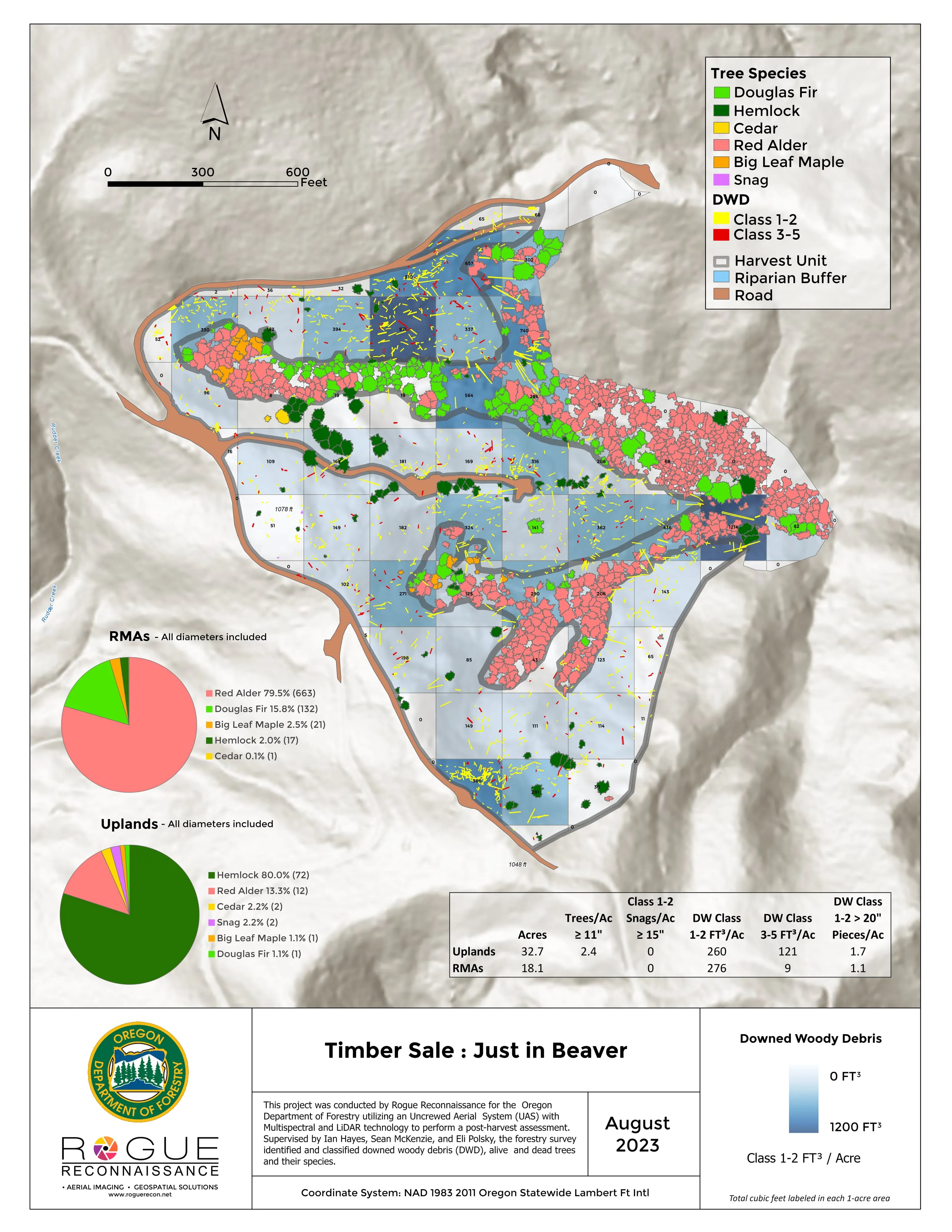
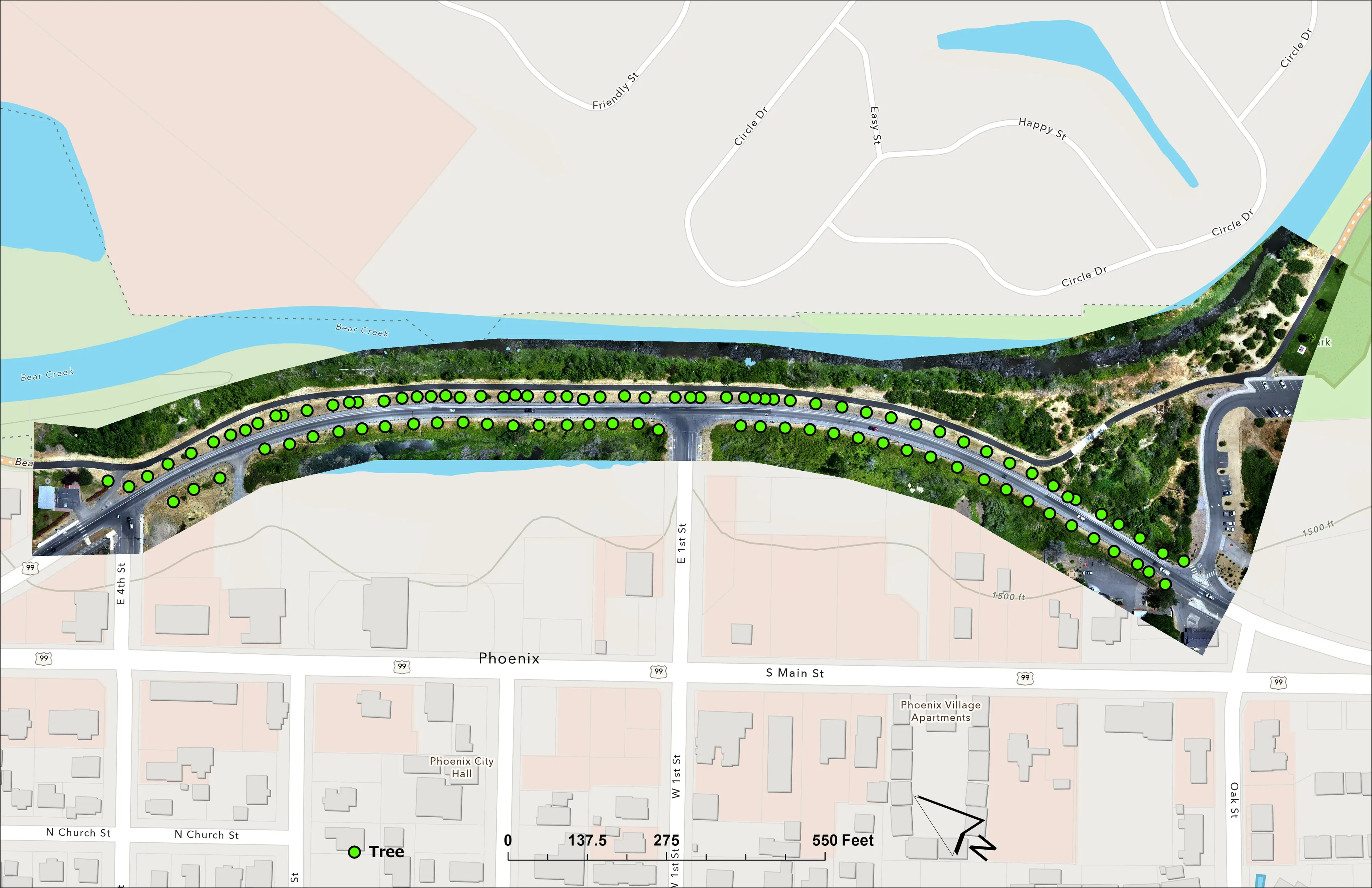
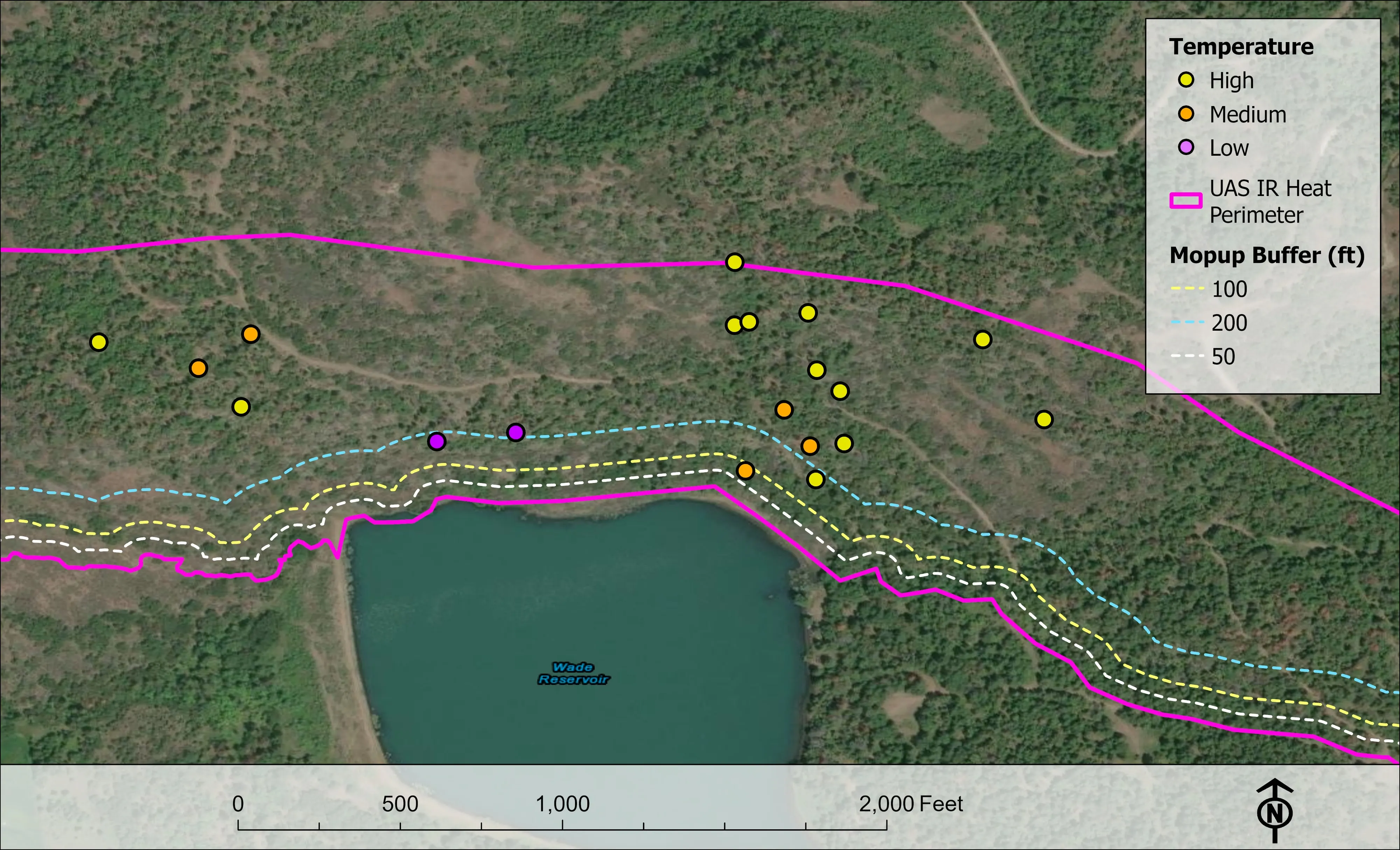
San Francisco has no case of ours yet. The demonstrations: a city ash inventory crown by crown, a whole town measured for its wildfire plan, and conifers classed by health across a watershed.
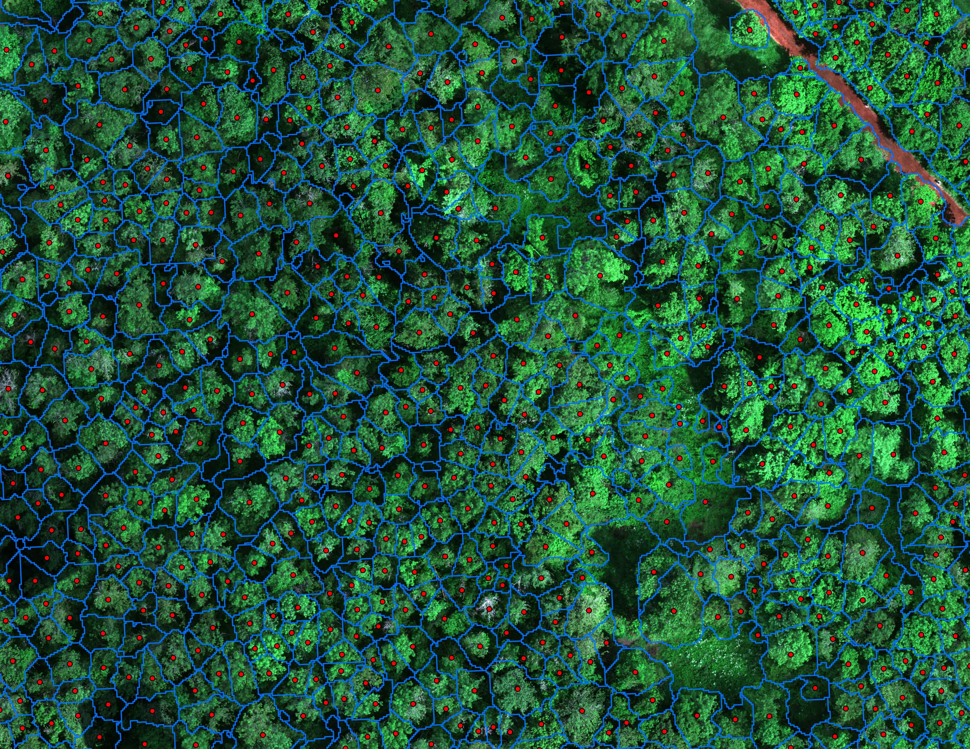
Finding every Oregon ash before the borer does
City of Eugene, Parks and Open Space
12,632 crowns classified across 390 acres of riparian canopy. 5,261 of them Oregon ash.
Read the case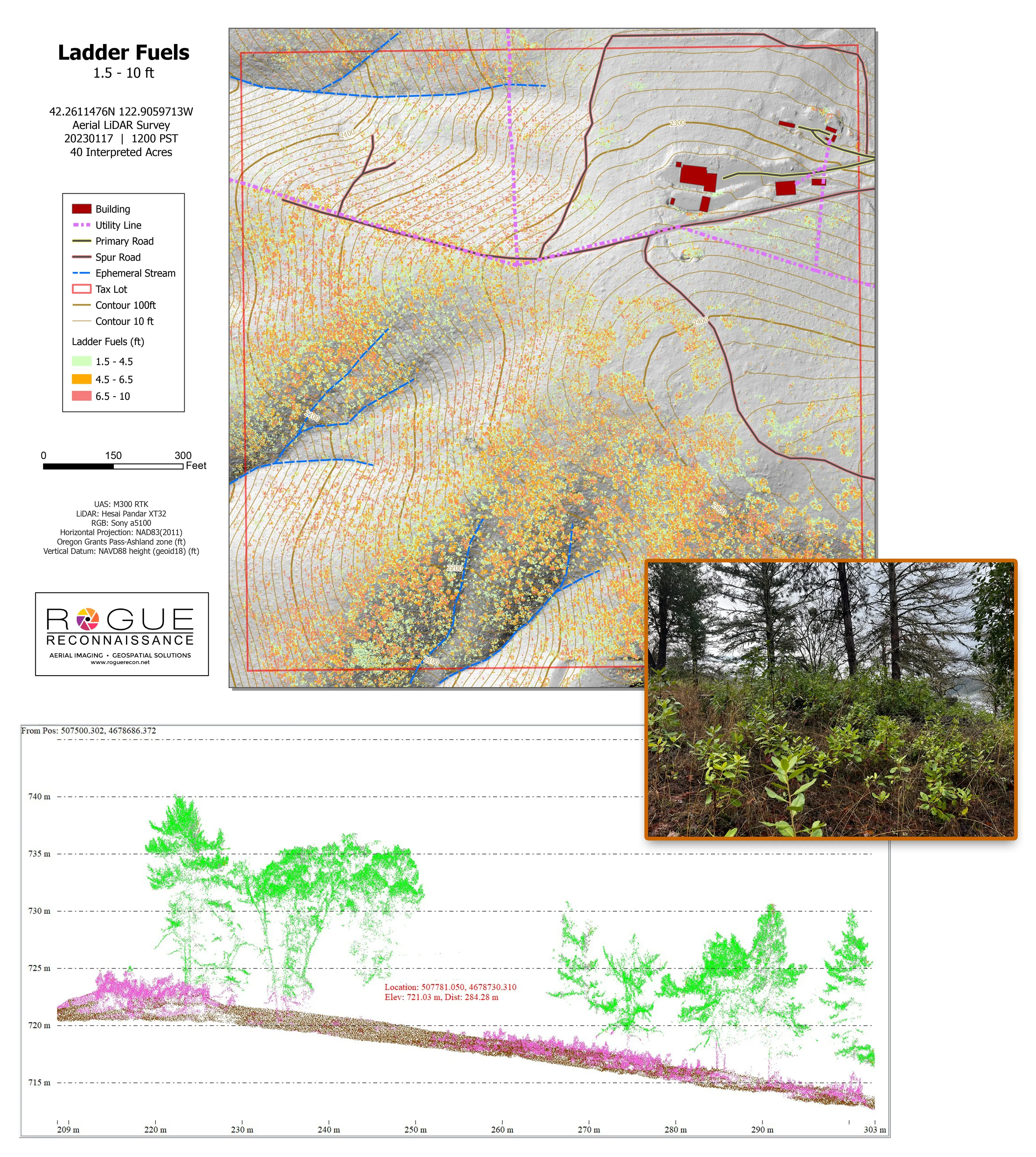
Citywide LiDAR for the Ashland CWPP
City of Ashland
Citywide drone LiDAR that gave the 2025 Ashland Community Wildfire Protection Plan its ladder fuel and structure exposure numbers.
Read the case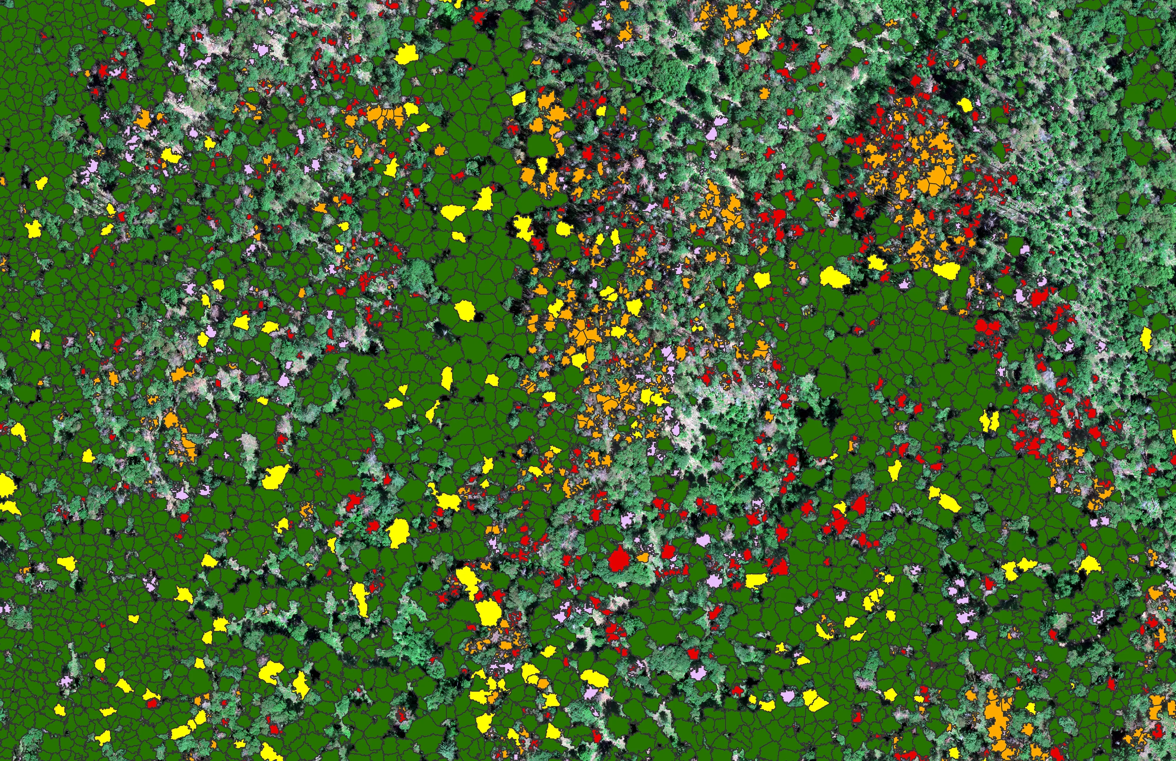
At risk, declining, dieback, dead
City of Ashland
About 30,000 Douglas fir crowns classed by health across the city's watershed lands, so the city could see the die off and act on it.
Read the caseThe record
Every project we have published
Forestry and trees
- Downed woody debris, measured from the air
- Finding every Oregon ash before the borer does
- At risk, declining, dieback, dead
- Post harvest monitoring for ODF
- A planting corridor through Phoenix, tree by tree
Rivers and habitat
- Riparian species and cold seeps on the Scott River
- Ten abandoned mines, bare earth under the chaparral
Wildfire fuels and planning
Night infrared on fires
- Night infrared on ODF incidents since 2019
- East Evans Creek, a season inside one fire
- Fielder Mountain, eleven nights as the heat went out
- Woodrat Mountain, from initial attack to the last check
- Interstate 5 at milepost 57, initial attack beside the freeway
- Tyee Ridge Complex
Terrain and site design
Farm planning
San Francisco, tree by tree.
A park, a reserve, a street tree district or the watershed. Tell us which agency is asking and what the count has to answer, and we will plan the airspace and the flight.
Email info@roguerecon.net or call 808 298 6290.