

Los Angeles, California
After the Palisades and Eaton fires, the hills get measured again.
The January 2025 fires burned Pacific Palisades and Altadena down to the foundations and reset every assumption about fire in the Los Angeles hills. The city, the county, the conservancies and the utilities now rebuild, clear brush and count canopy with a public that reads the maps. Structure exposure, fuels and tree inventory from the air are the flights that fit.
The ground
Los Angeles and Los Angeles County
Los Angeles is a basin and a set of mountains: the Santa Monicas running through the city to the sea, the San Gabriels standing over Pasadena and Altadena in the Angeles National Forest, the Verdugos and the Hollywood Hills in between. Chaparral on every slope, eucalyptus and pine in the older neighbourhoods, a street tree population in the hundreds of thousands, and the Los Angeles River in its channel through the middle. Santa Ana winds in the fall and winter are what turned the 2025 fires into what they became.
Who buys mapping here
- City of Los Angeles: the Bureau of Street Services Urban Forestry Division, Recreation and Parks, the Department of Water and Power and its corridors and watershed lands, the Emergency Management Department
- Los Angeles County: the Fire Department's Forestry Division and brush clearance program, Parks and Recreation, Public Works, the Office of Emergency Management
- The Santa Monica Mountains Conservancy, the Mountains Recreation and Conservation Authority, and the National Park Service's Santa Monica Mountains National Recreation Area
- The Angeles National Forest and the San Gabriel Mountains National Monument
- Southern California Edison and the Los Angeles Department of Water and Power's wildfire mitigation programs
- TreePeople, City Plants and the canopy programs; the Metropolitan Water District
- Pasadena, Altadena's county agencies, Santa Monica, Malibu, Glendale, Burbank and the other cities of the basin
- The University of California, Los Angeles, the University of Southern California and the Port of Los Angeles
Getting there
From Medford
A flight into Los Angeles or Burbank with the aircraft in its cases; by road it is eleven hours from Medford. Southern California is planned as a two week trip with San Diego and the Inland Empire.
The public lidar
What exists, and what it misses
Los Angeles County has flown countywide lidar more than once and the 2025 footprints were flown after the fires, so the terrain and the loss are mapped. What the rebuild and the brush clearance program need is parcel scale and current: fuels and exposure per structure, canopy and condition tree by tree for the urban forestry programs, and the conservancy lands measured before and after treatment.
What we would fly
The lanes that fit Los Angeles
Nearest work
Los Angeles has not had a flight from us. The Oregon record that speaks to it: a whole town measured structure by structure for its wildfire plan, thirty thousand crowns classed by health, and the Eugene inventory with a species on every crown.
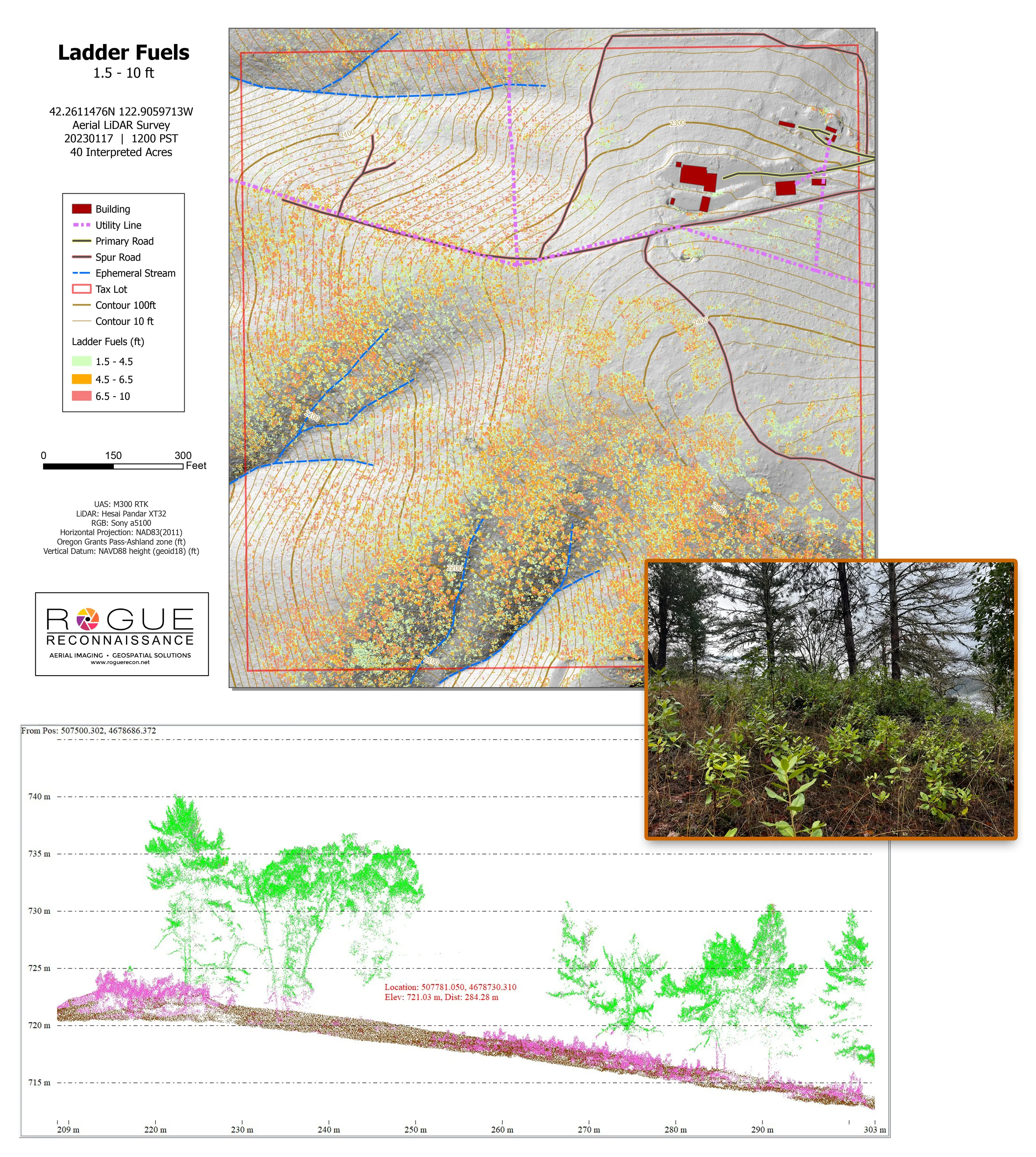
Citywide LiDAR for the Ashland CWPP
City of Ashland
Citywide drone LiDAR that gave the 2025 Ashland Community Wildfire Protection Plan its ladder fuel and structure exposure numbers.
Read the case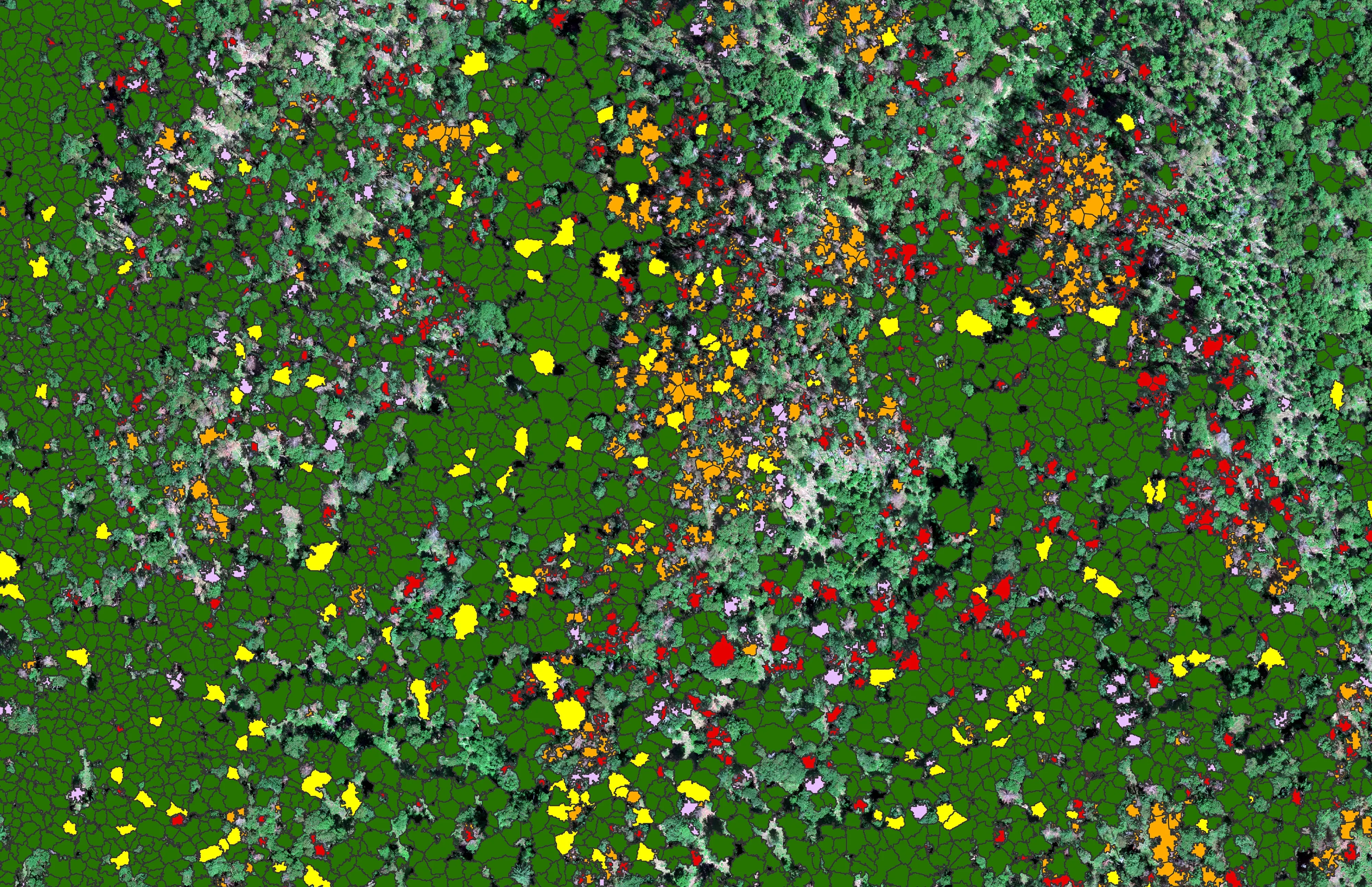
At risk, declining, dieback, dead
City of Ashland
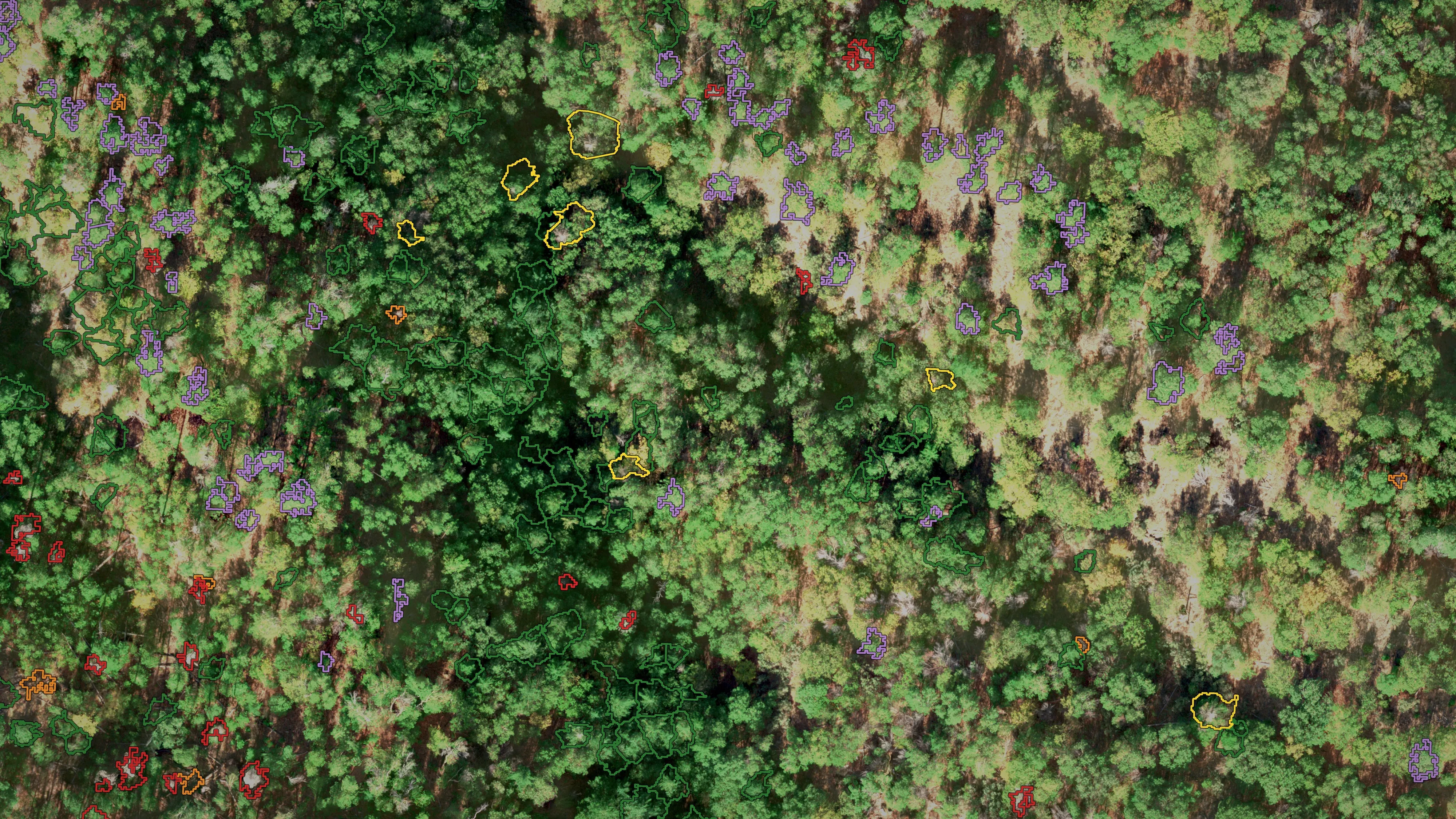
About 30,000 Douglas fir crowns classed by health across the city's watershed lands, so the city could see the die off and act on it.
Read the case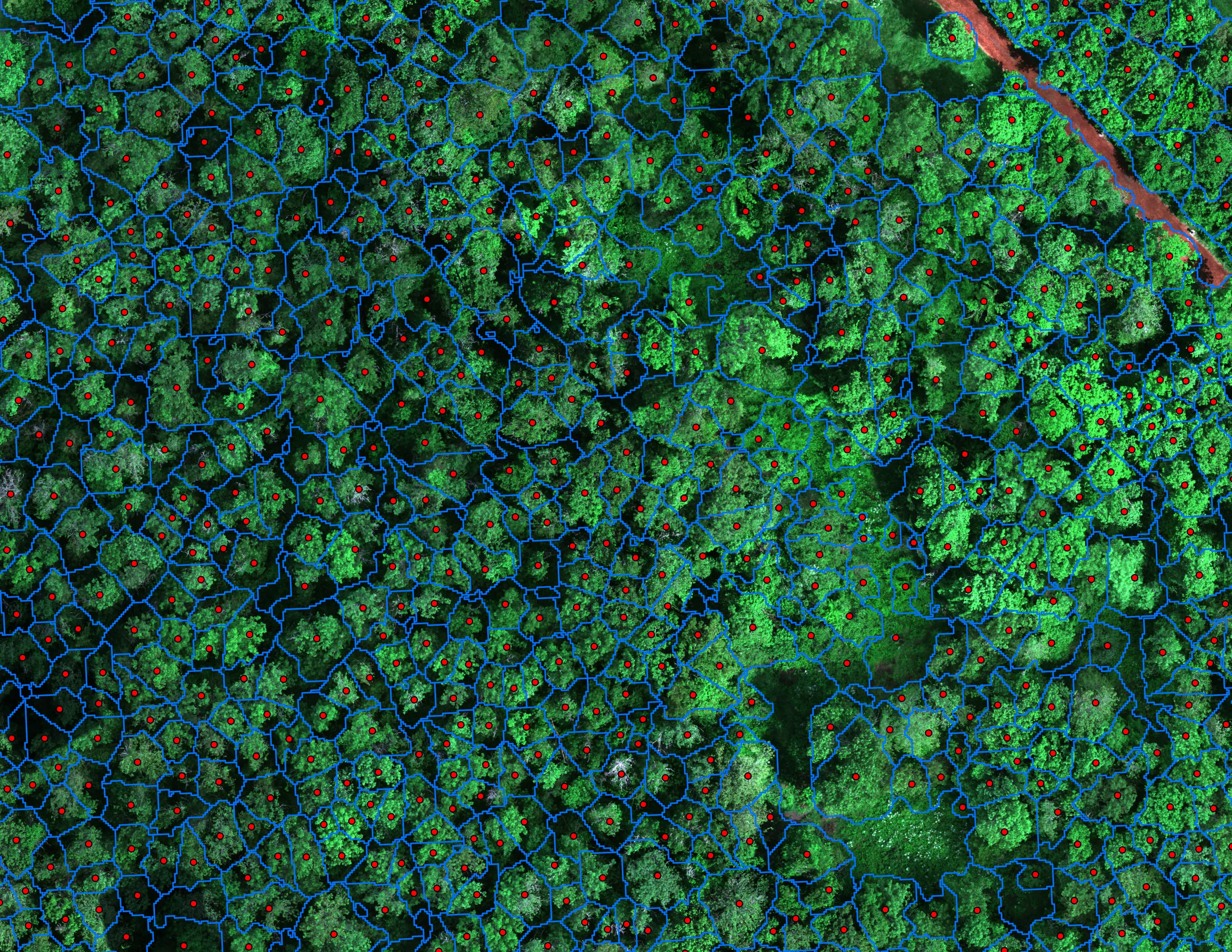
Finding every Oregon ash before the borer does
City of Eugene, Parks and Open Space
12,632 crowns classified across 390 acres of riparian canopy. 5,261 of them Oregon ash.
Read the caseThe record
Every project we have published
Forestry and trees
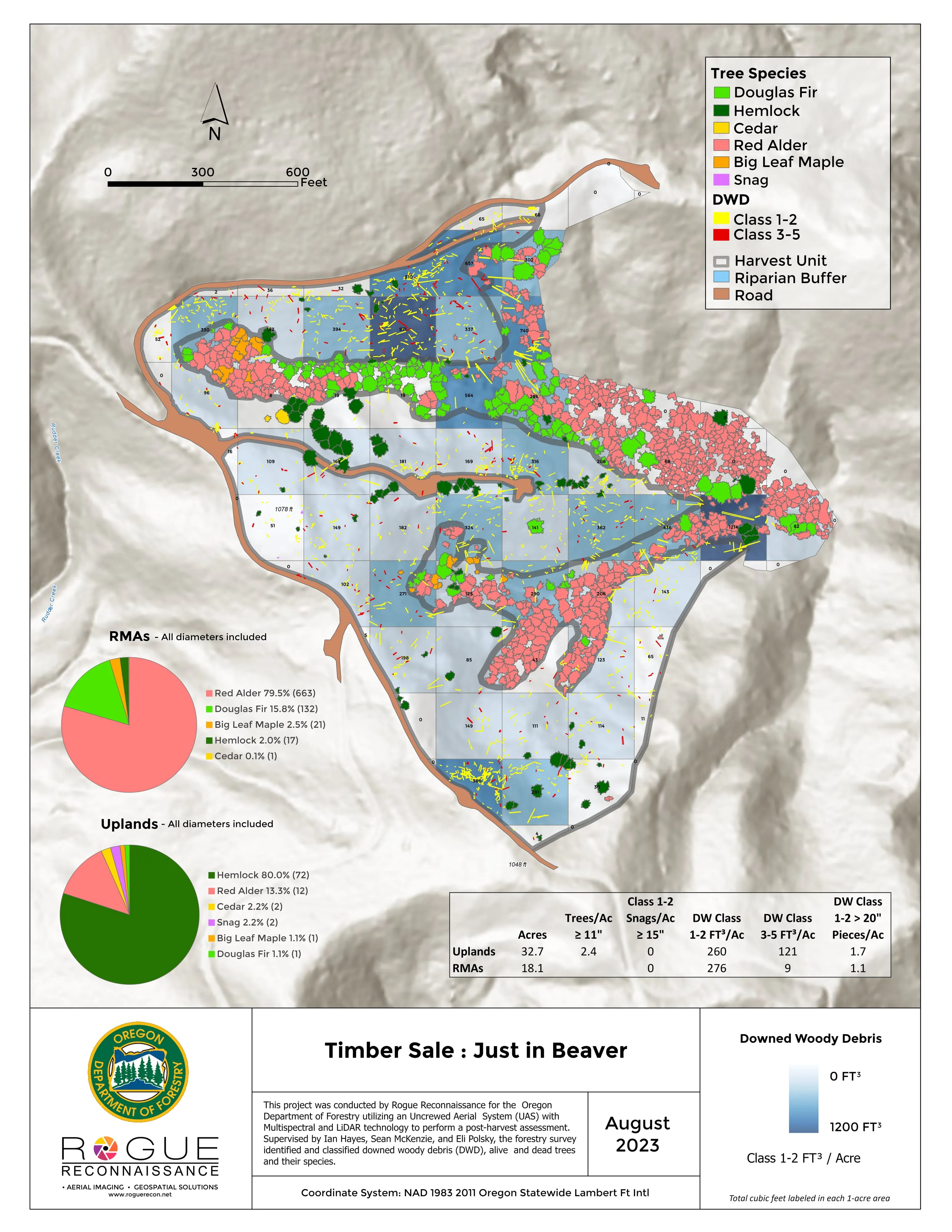
- Downed woody debris, measured from the air
- Finding every Oregon ash before the borer does
- At risk, declining, dieback, dead
- Post harvest monitoring for ODF
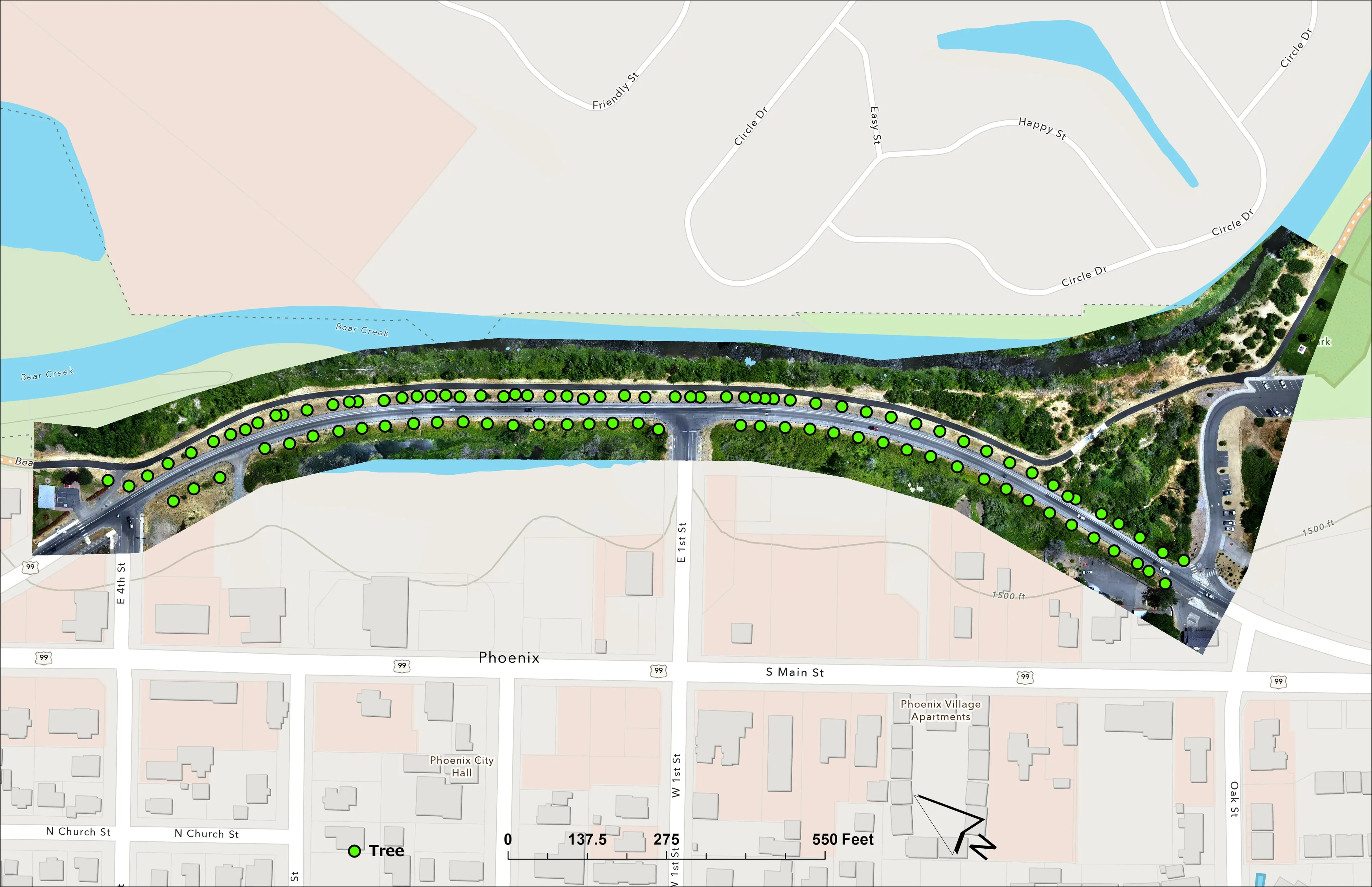
- A planting corridor through Phoenix, tree by tree
Rivers and habitat
- Riparian species and cold seeps on the Scott River
- Ten abandoned mines, bare earth under the chaparral
Wildfire fuels and planning
Night infrared on fires
- Night infrared on ODF incidents since 2019
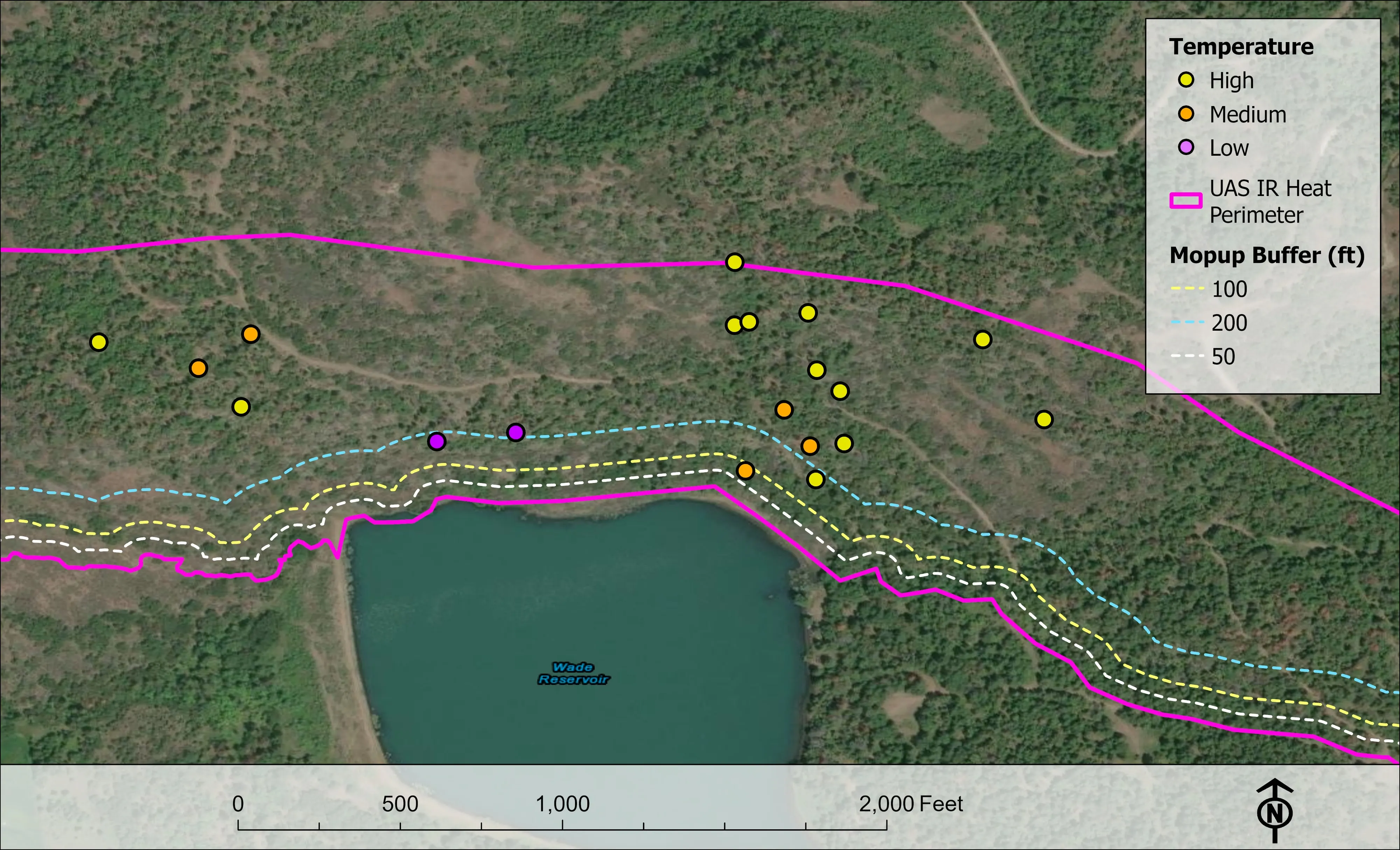
- East Evans Creek, a season inside one fire
- Fielder Mountain, eleven nights as the heat went out
- Woodrat Mountain, from initial attack to the last check
- Interstate 5 at milepost 57, initial attack beside the freeway
- Tyee Ridge Complex
Terrain and site design
Farm planning
Los Angeles, the hills after 2025.
A fire footprint to baseline for the rebuild, a brush clearance zone to map parcel by parcel, or a canopy inventory for a council district. Name the agency and the plan it feeds, and the southern trip starts in the basin.
Email info@roguerecon.net or call 808 298 6290.