

Eureka, California
Behind the redwood curtain, where the timber and the bay both need measuring.
Humboldt County is big timber, a working bay, salmon rivers and more small farms than anywhere on the north coast, four hours from our base by the coast road. Tree level forest mapping, riparian classification and terrain for a shoreline that is changing are the flights that fit here.
The ground
Eureka and Humboldt County
Eureka sits on Humboldt Bay with Arcata across the water and the dunes and the Pacific beyond. Inland the county is redwood and Douglas fir, the largest old growth stands left anywhere in the state parks and the national park north of Orick, and industrial timberland on most of the rest. The Eel, the Mad and the Van Duzen come down out of the mountains to the coast, and the Klamath marks the county line to the north. The bay itself has one of the fastest rates of relative sea level rise on the West Coast.
Who buys mapping here
- City of Eureka and City of Arcata: Public Works, Parks, the community forests
- Humboldt County: Public Works, Planning and Building, the Office of Emergency Services
- Humboldt Bay Municipal Water District and the Humboldt Bay Harbor District
- The Wiyot Tribe, the Yurok Tribe and the Hoopa Valley Tribe and their natural resources departments
- Cal Poly Humboldt, its forestry and wildlife programs and the Jacoby Creek and Arcata community forests
- Humboldt County Resource Conservation District, the Mattole and Eel River watershed groups, Friends of the Dunes
- The Six Rivers National Forest, Redwood National and State Parks and the BLM Arcata Field Office
- Industrial and family timber owners, registered professional foresters, and the dairy and cannabis farms in the valleys
- Pacific Gas and Electric's coastal lines
Getting there
From Medford
About four hours from Medford through the Illinois Valley and down Highway 101. We stay several days and work the bay, the rivers and the timber from one base.
The public lidar
What exists, and what it misses
The county has lidar from federal and state programs over the bay, the lower rivers and parts of the forest, flown for sea level, flood and forest inventory work at the stand scale. Tree by tree health, a post harvest unit, a restoration reach or a bluff that moved last winter is a finer question, and a timber owner, a tribe or a district gets it from a flight of the ground itself.
What we would fly
The lanes that fit Eureka
Nearest work
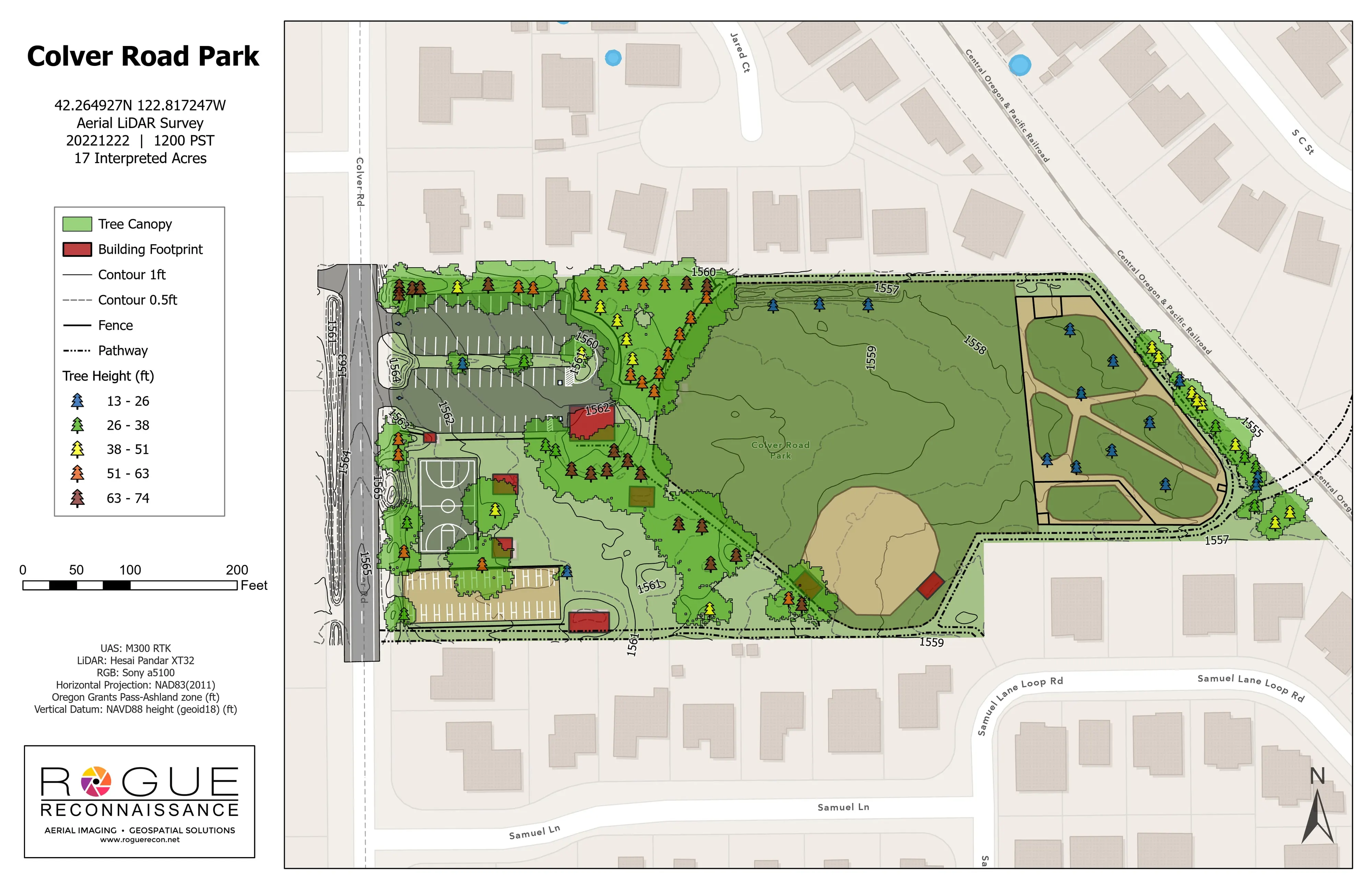
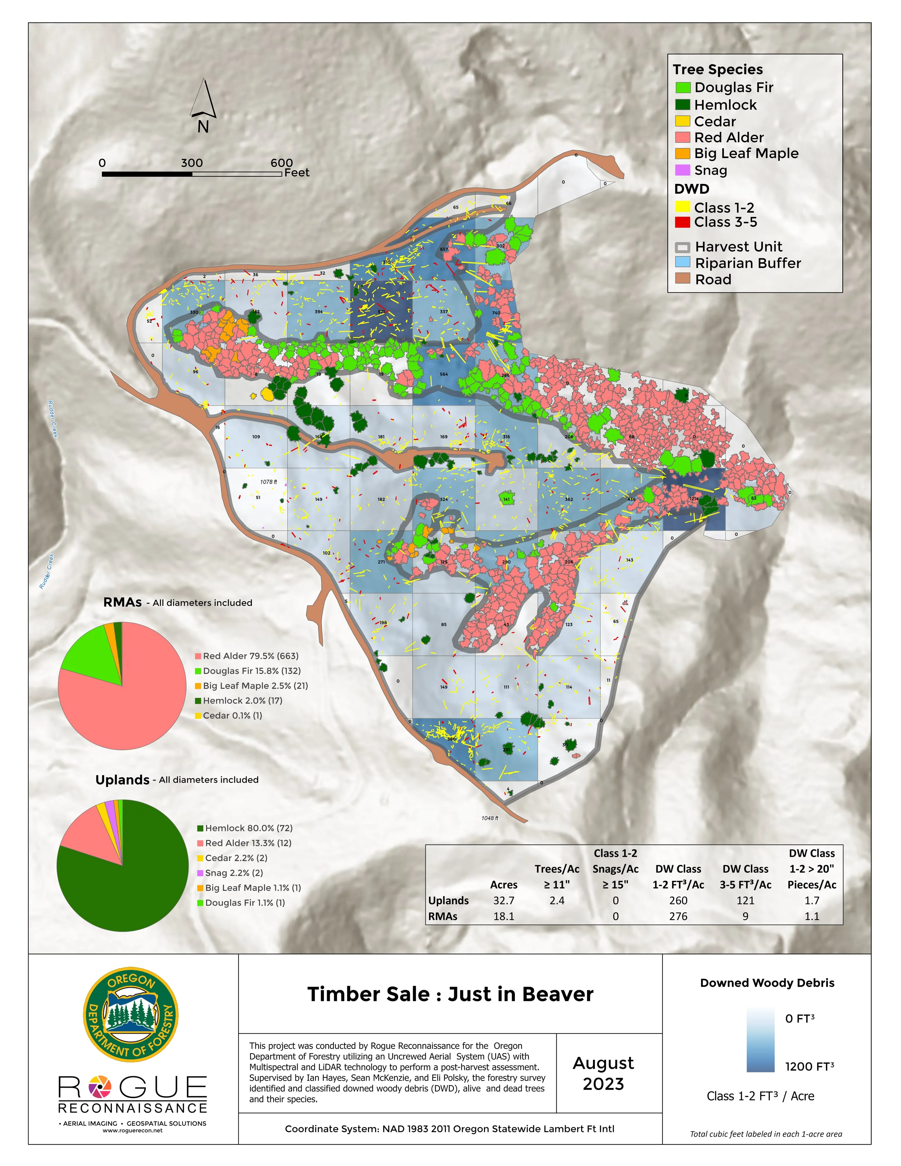
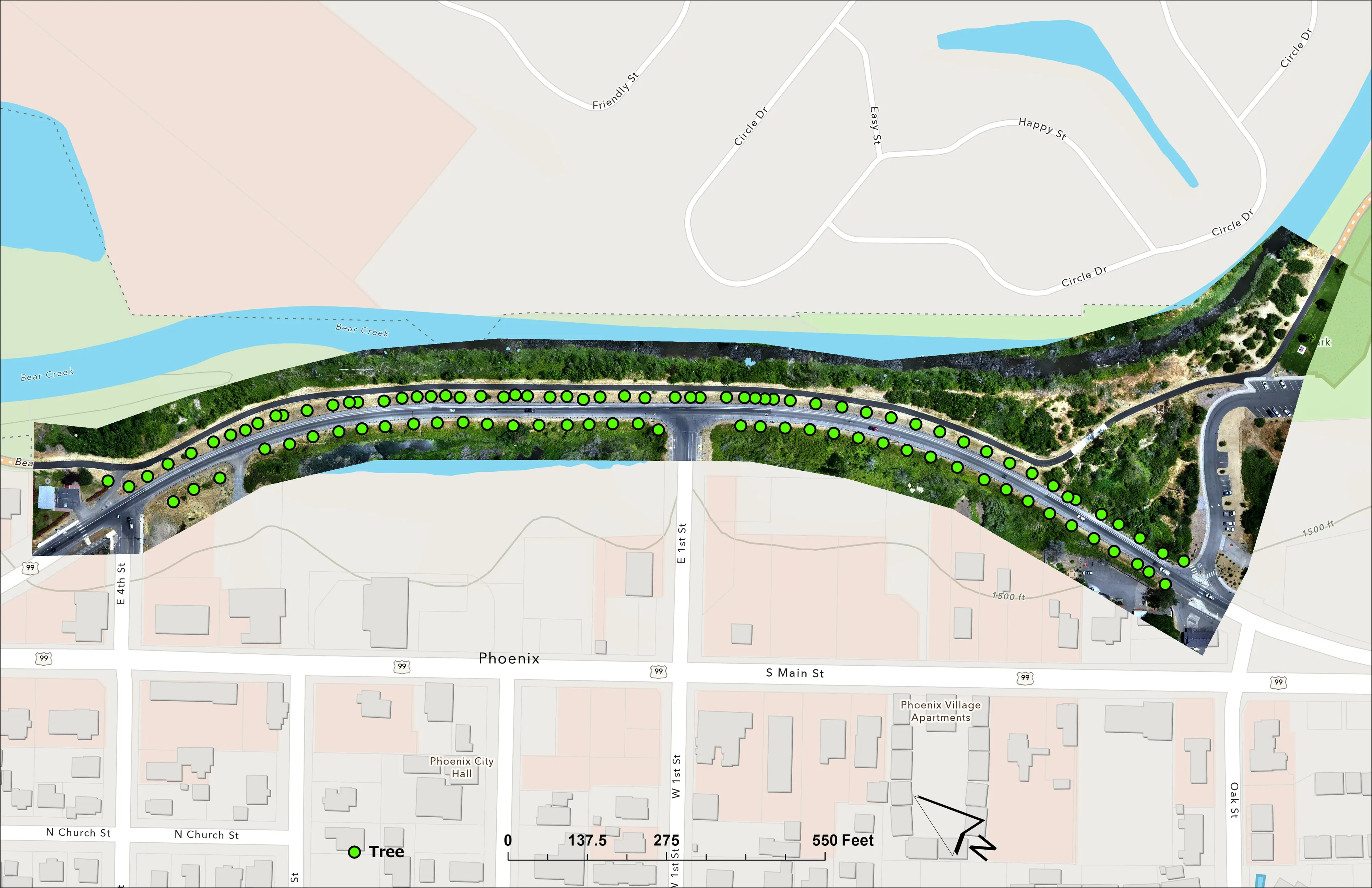
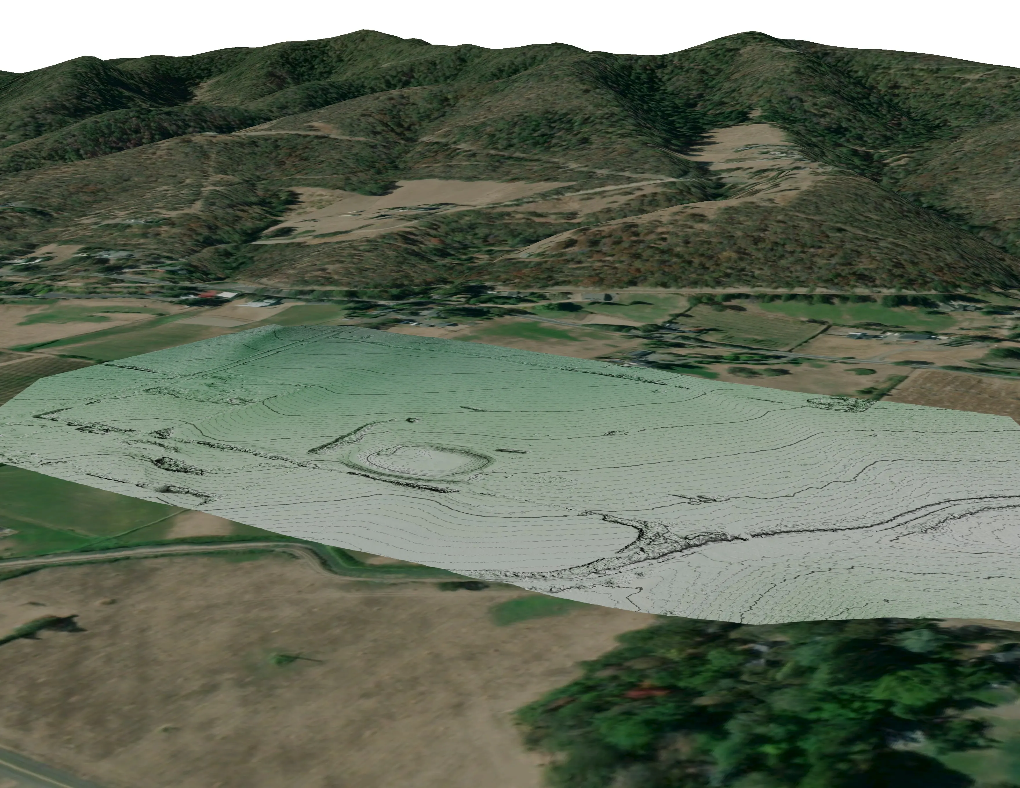
Humboldt has no published case of ours yet; what shows the method is a river corridor classified by species, a post harvest unit measured for a state forestry agency, and a coastal school campus mapped for engineers.
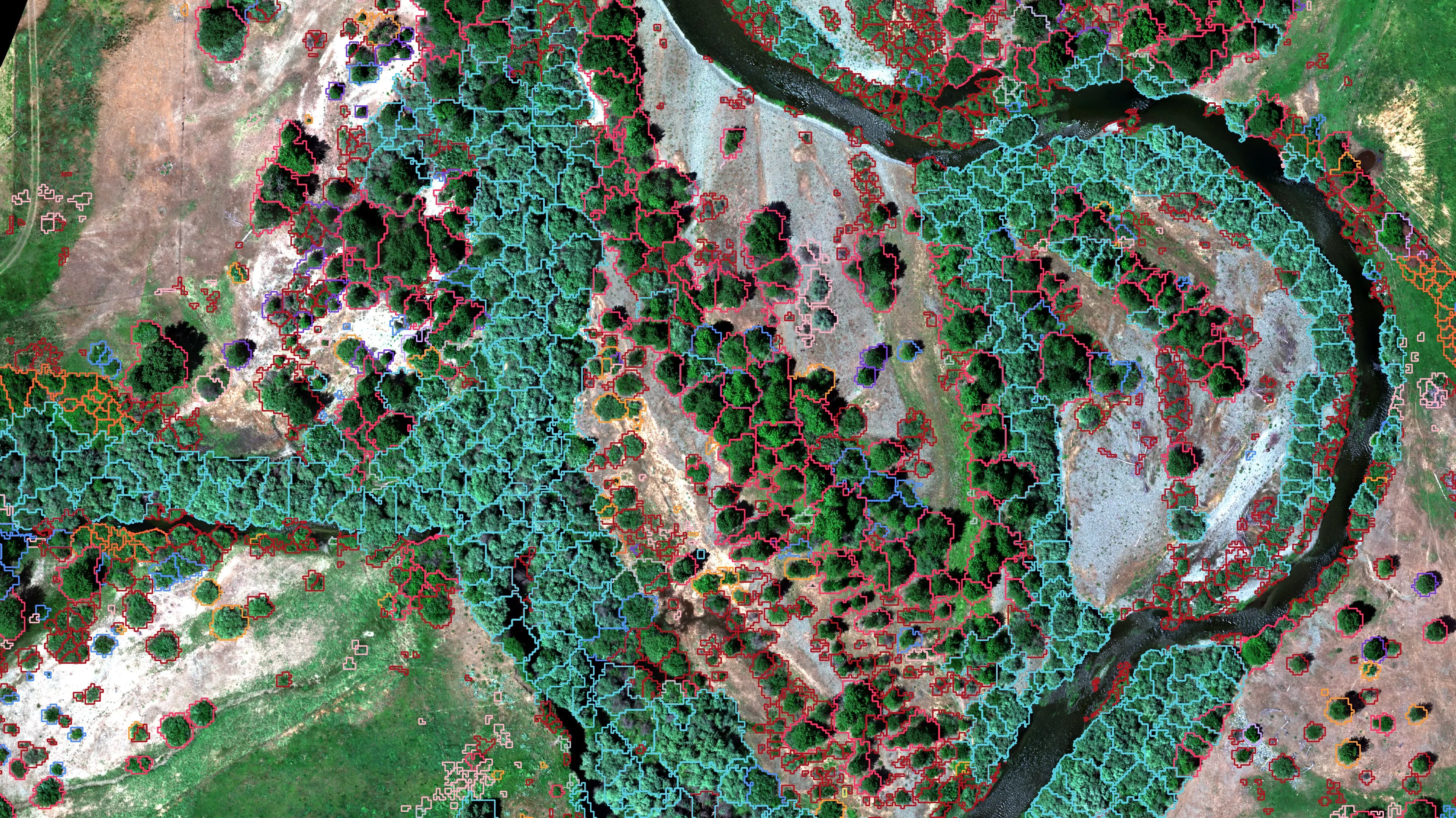
Riparian species and cold seeps on the Scott River
Cascade Stream Solutions, with a botanist leading field identification. We flew it as their subcontractor and reported to them.
Fourteen riparian species classified across 423 acres of river corridor, with thermal mapping that pointed to groundwater fed cold seeps.
Read the case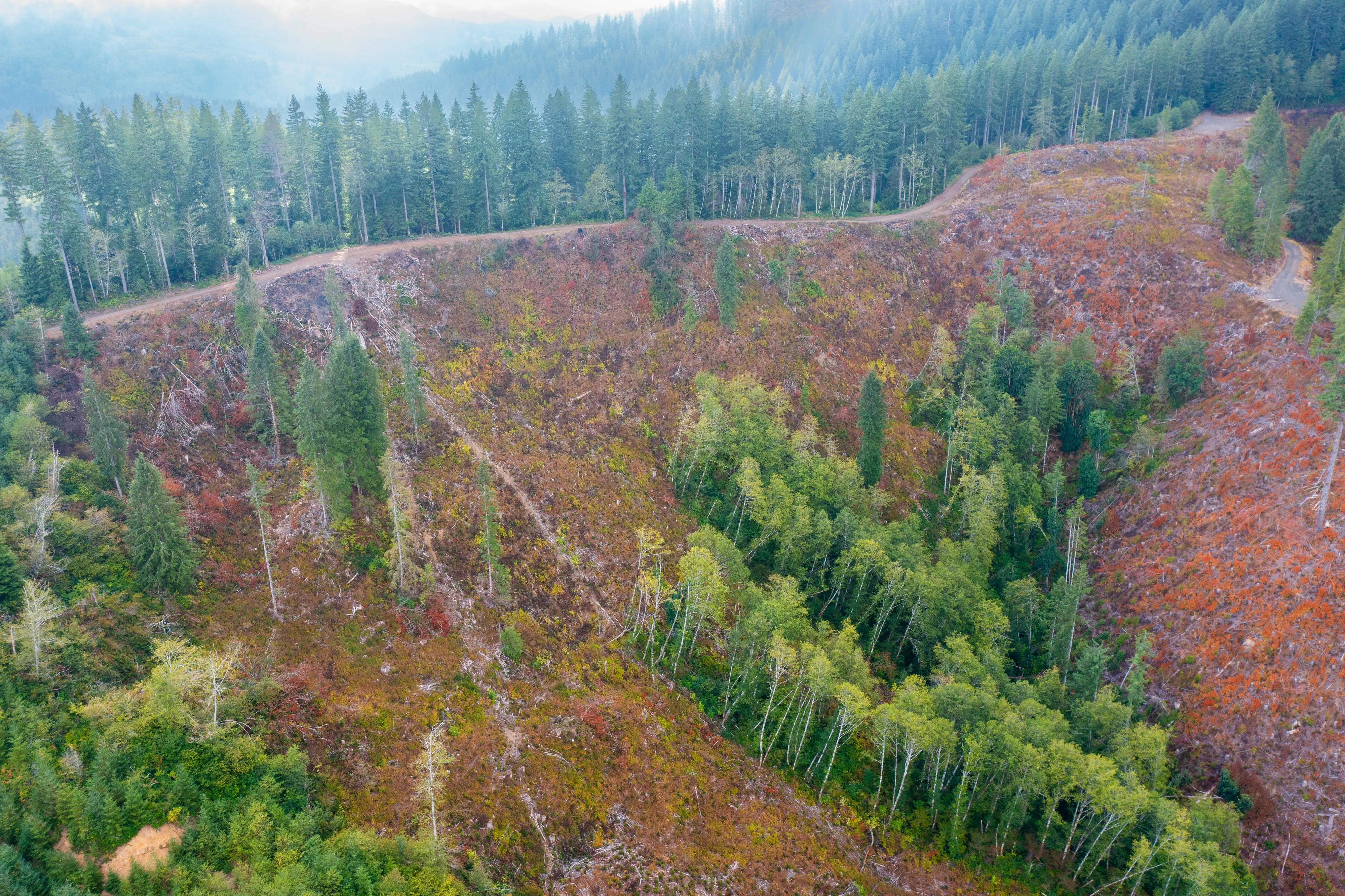
Post harvest monitoring for ODF
Oregon Department of Forestry
The 2023 ODF unit on video and in a StoryMap, with how the LiDAR, multispectral, and RGB products were built.
Read the case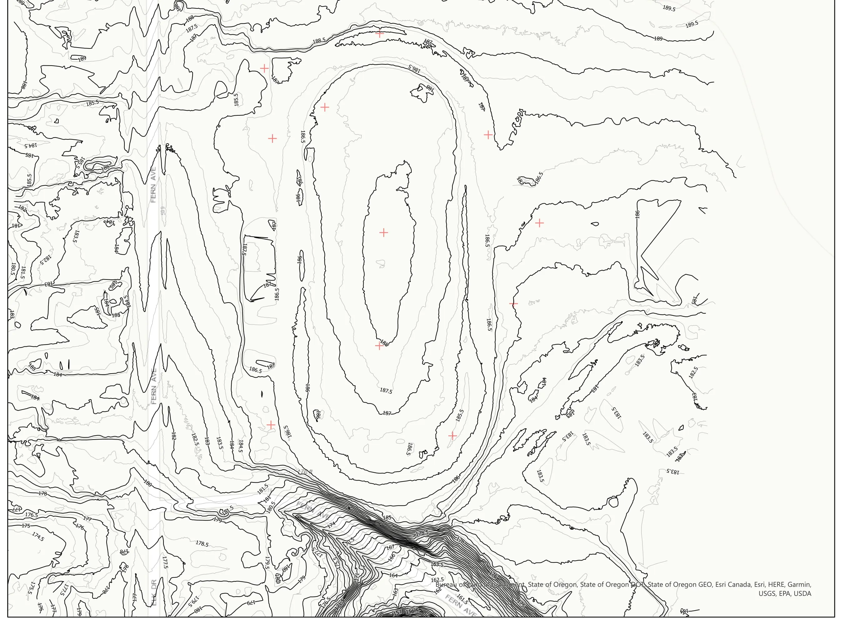
A school site, ready for the engineers
Pacific 3D Reality Capture, for the Brookings Harbor High School campus
Drone LiDAR terrain and contours over a 37 acre school campus, delivered as plan sheets and CAD ready data for the design team.
Read the caseThe record
Every project we have published
Forestry and trees
- Downed woody debris, measured from the air
- Finding every Oregon ash before the borer does
- At risk, declining, dieback, dead
- Post harvest monitoring for ODF
- A planting corridor through Phoenix, tree by tree
Rivers and habitat
- Riparian species and cold seeps on the Scott River
- Ten abandoned mines, bare earth under the chaparral
Wildfire fuels and planning
Night infrared on fires
- Night infrared on ODF incidents since 2019
- East Evans Creek, a season inside one fire
- Fielder Mountain, eleven nights as the heat went out
- Woodrat Mountain, from initial attack to the last check
- Interstate 5 at milepost 57, initial attack beside the freeway
- Tyee Ridge Complex
Terrain and site design
Farm planning
Humboldt, worth the drive.
A stand, a reach, a shoreline parcel or a farm. Send the ground and the season and we will plan the coast trip around it.
Email info@roguerecon.net or call 808 298 6290.