

Bakersfield, California
Oil, orchards and a river out of the Sierra, at the bottom of the valley.
Kern County is the valley's oil county and one of its biggest farm counties at once, with the Kern River coming down out of the Sierra through a canyon that burns, the Tehachapis and their wind farms to the south east, and a county fire department that covers all of it. Farm planning, corridor terrain and fire are the flights.
The ground
Bakersfield and Kern County
The city sits where the Kern River leaves its canyon onto the valley floor, with the oil fields on the bluffs north of town and almonds, pistachios, citrus, grapes and carrots across the flats. South the Grapevine climbs toward Los Angeles; south east the Tehachapi Mountains carry the wind farms; north east the Kern canyon rises to Lake Isabella and the Sequoia National Forest, where the Erskine and French fires burned in 2016 and 2021. Water comes by canal and the water bank is under the ground west of the city.
Who buys mapping here
- City of Bakersfield: Public Works, Recreation and Parks, Water Resources, the GIS group
- Kern County: Public Works, the Planning and Natural Resources Department, Emergency Services
- The Kern County Fire Department, which covers the county and the city both
- The Kern River Watermaster, the Kern County Water Agency and the irrigation districts
- The Sequoia National Forest and the Bureau of Land Management's Bakersfield Field Office
- Pacific Gas and Electric and Southern California Edison, whose territories split the county
- The Tree Foundation of Kern and California State University, Bakersfield
- Almond, pistachio, citrus, grape and carrot operations, and the oil field operators with land to manage
Getting there
From Medford
About nine hours from Medford down Interstate 5, or a flight into Meadows Field. Bakersfield closes the valley trip that starts in Fresno.
The public lidar
What exists, and what it misses
Kern County has federal lidar over the valley floor and parts of the mountains, and the oil and water agencies hold their own. A field's drainage, an orchard's replant, a canyon unit after a fire, a wind farm road or a corridor across the county each call for a current flight sized to the job.
What we would fly
The lanes that fit Bakersfield
Nearest work
Kern County waits for a first flight. Standing in: the Talent nursery plan, bare earth under chaparral on BLM mine sites, and a 2026 incident flown night after night.
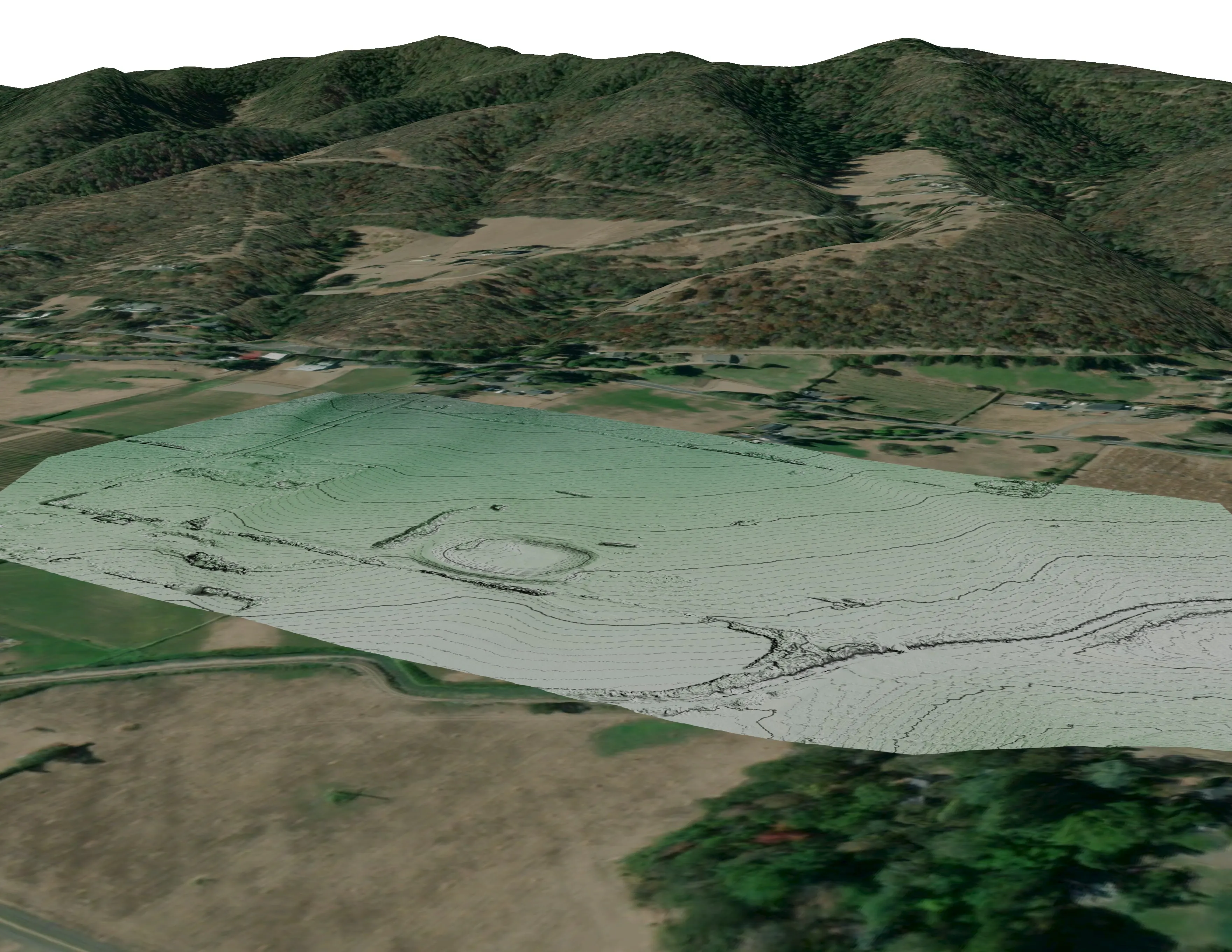
A farm plan on real ground
Plant Oregon with Oregon Urban Rural and Community Forestry, a tree nursery in development
Terrain, ponds, tree mounds, and a site plan drawn on a current ortho of the whole farm.
Read the case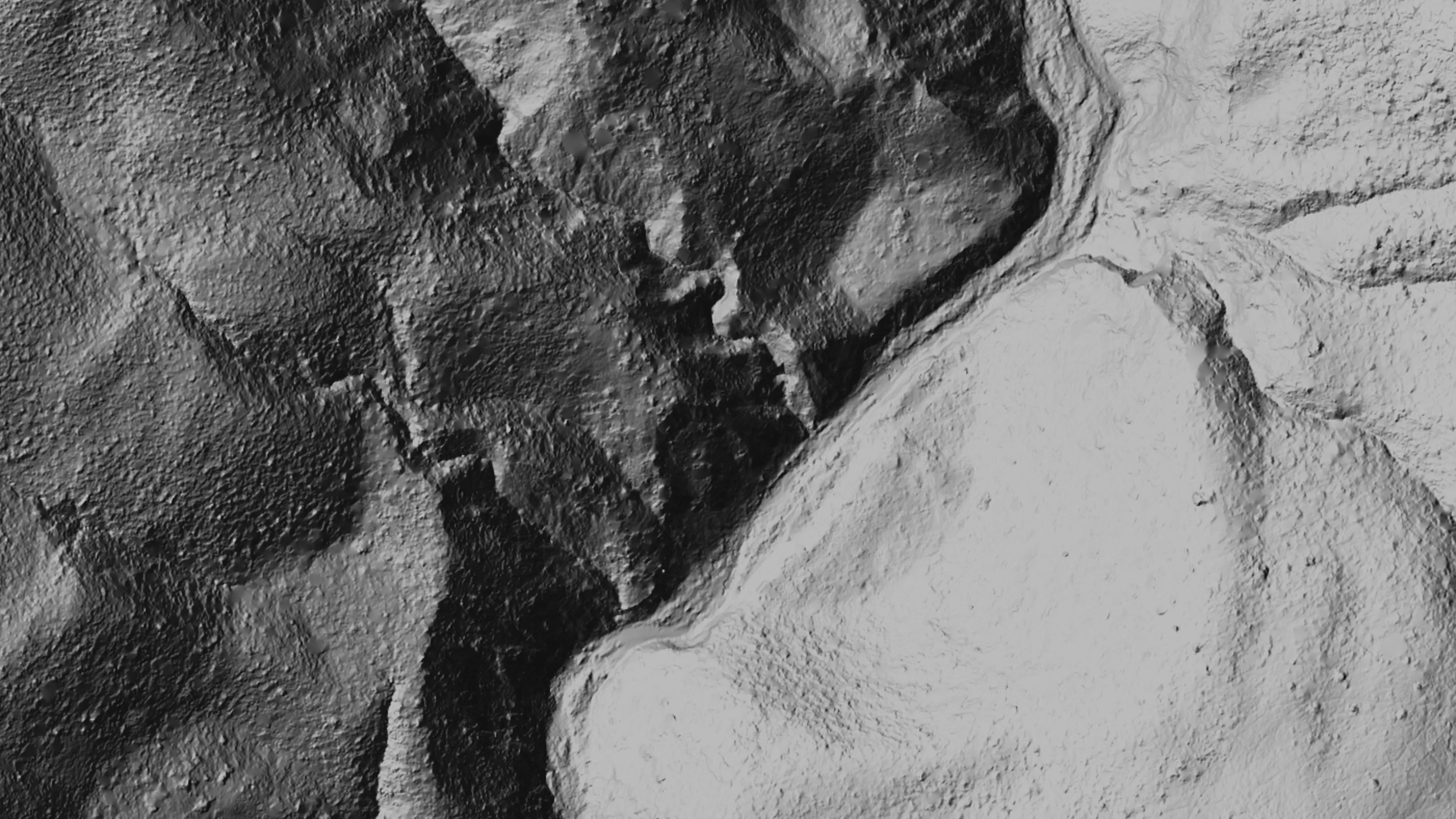
Ten abandoned mines, bare earth under the chaparral
Bat Conservation International, on Bureau of Land Management land, Ukiah Field Office
Bare earth, surface, and canopy height models over 779.4 acres of abandoned mine sites under steep chaparral, checked against the public LiDAR at 0.320 m RMSE.
Read the case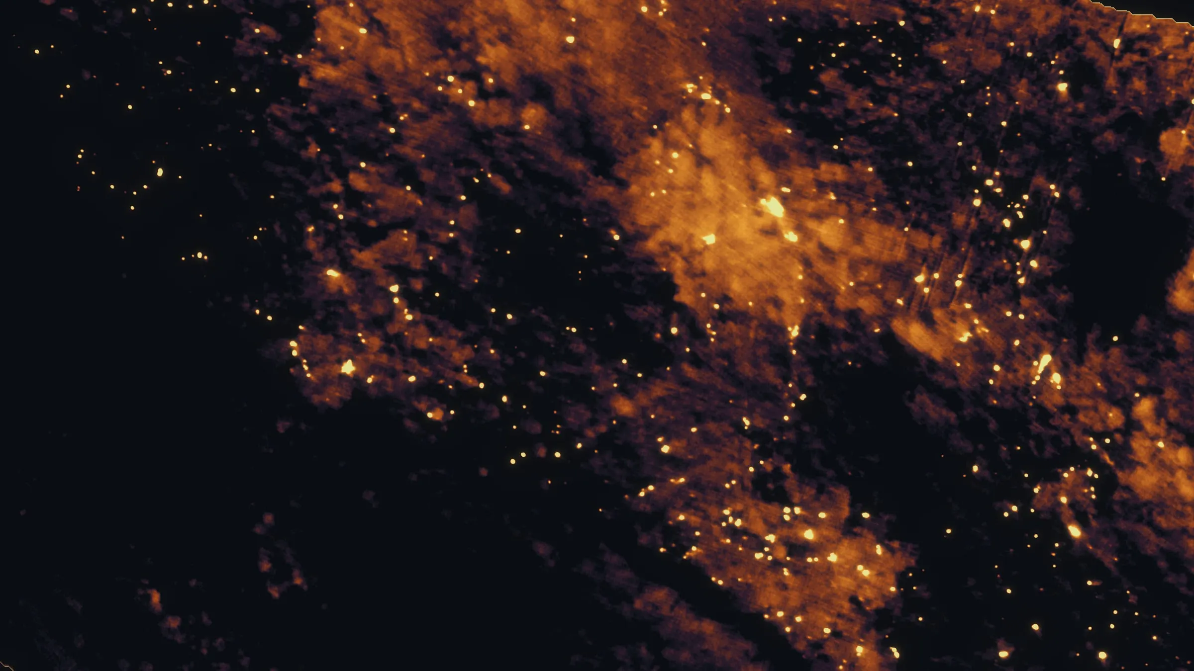
East Evans Creek, a season inside one fire
Oregon Department of Forestry
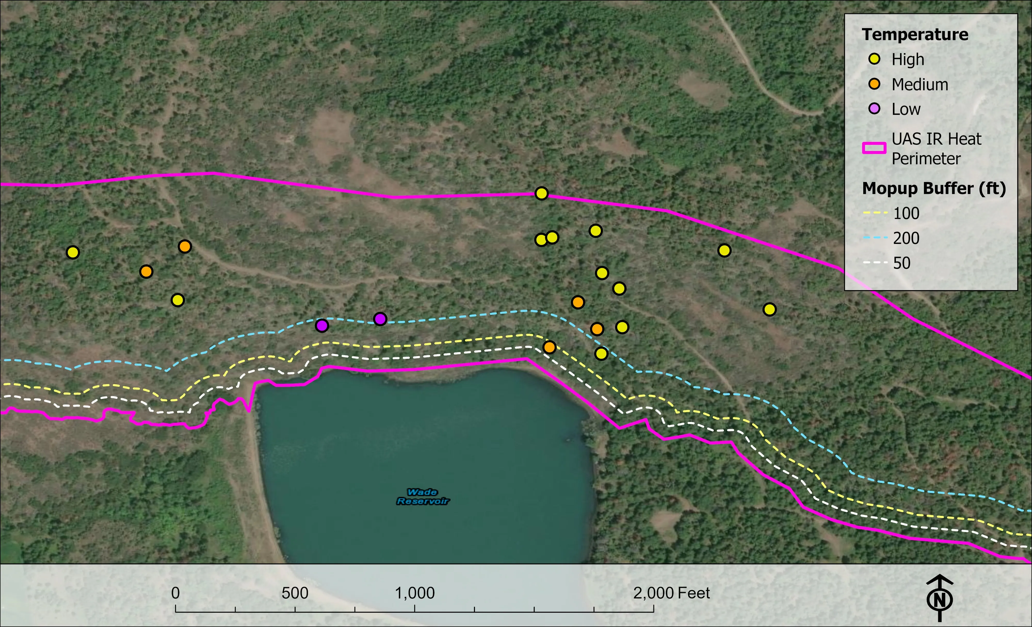
Fifteen nights on one incident across three weeks, eight divisions, and a heat map in the GIS specialist's hands before the morning briefing.
Read the caseThe record
Every project we have published
Forestry and trees
- Downed woody debris, measured from the air
- Finding every Oregon ash before the borer does
- At risk, declining, dieback, dead
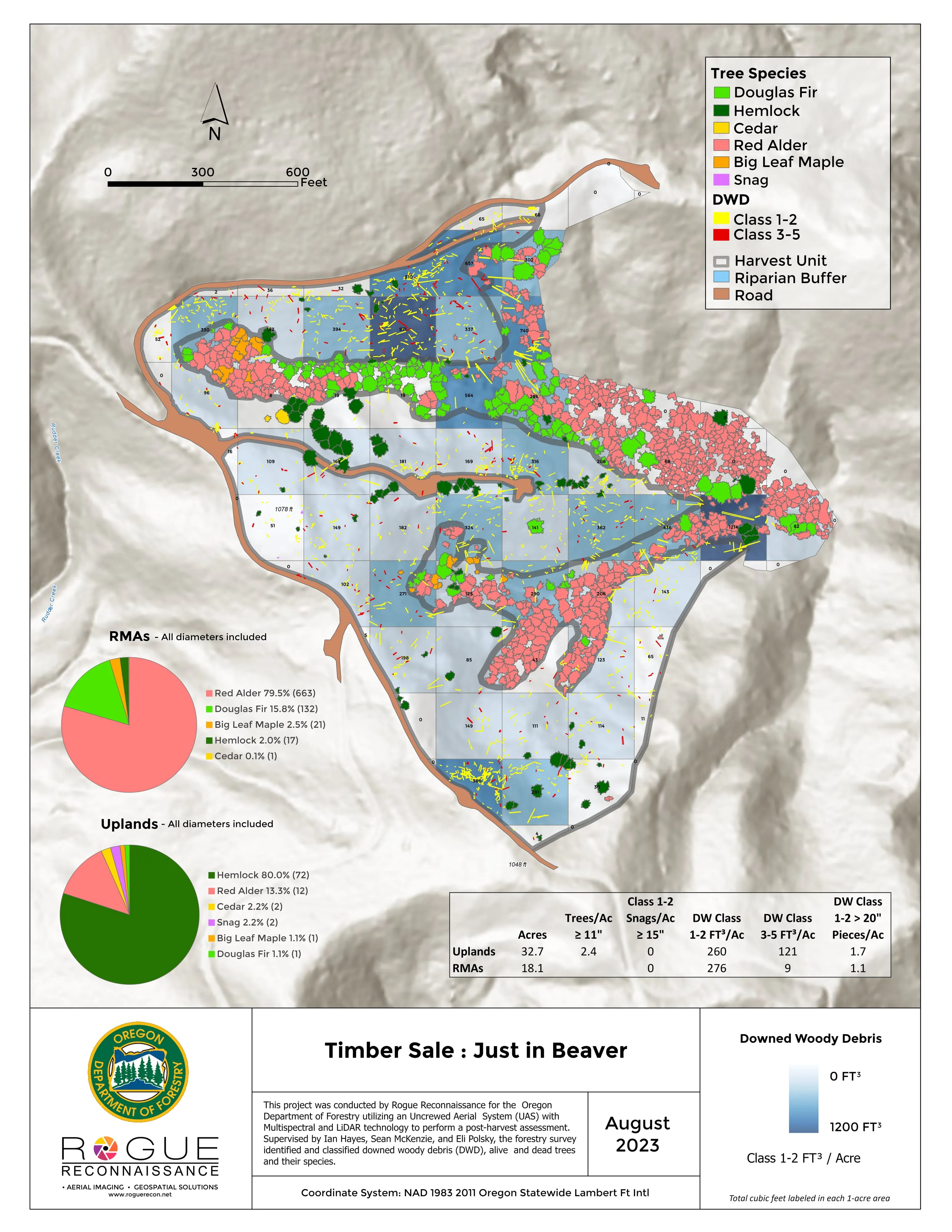
- Post harvest monitoring for ODF
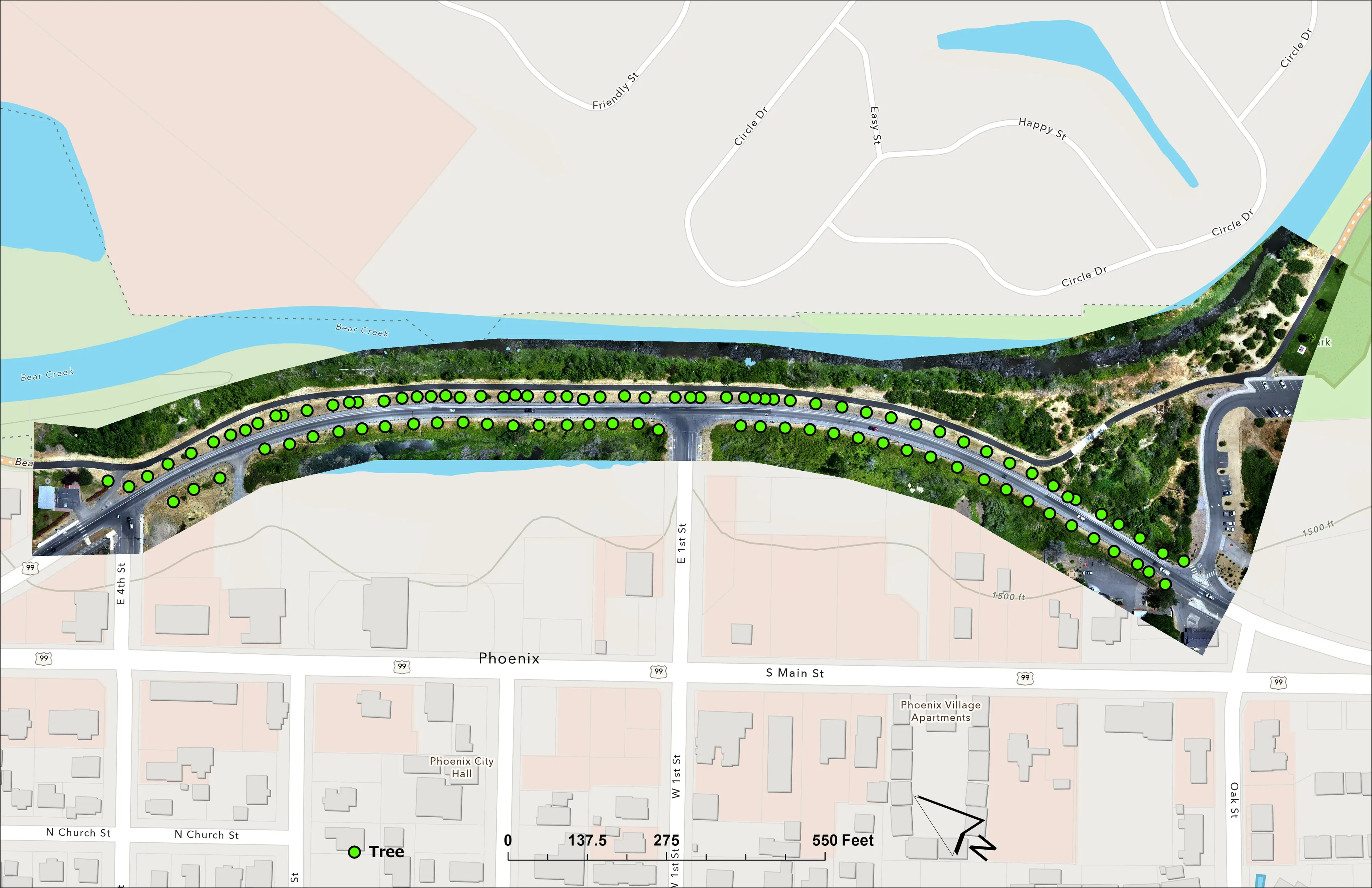
- A planting corridor through Phoenix, tree by tree
Rivers and habitat
- Riparian species and cold seeps on the Scott River
- Ten abandoned mines, bare earth under the chaparral
Wildfire fuels and planning
Night infrared on fires
- Night infrared on ODF incidents since 2019
- East Evans Creek, a season inside one fire
- Fielder Mountain, eleven nights as the heat went out
- Woodrat Mountain, from initial attack to the last check
- Interstate 5 at milepost 57, initial attack beside the freeway
- Tyee Ridge Complex
Terrain and site design
Farm planning
Bakersfield and Kern County.
A field, an orchard block, a canyon unit or a corridor. Say where and when and Bakersfield closes the valley trip.
Email info@roguerecon.net or call 808 298 6290.