

St. Louis, Missouri
Forest Park and a hundred municipalities, each with trees to account for.
St. Louis is a city park the size of a small town, a county of nearly ninety municipalities with their own tree ordinances, and the bottomlands where the Missouri and the Illinois meet the Mississippi. Canopy inventory and floodplain terrain are what the region buys, and a region this fragmented buys it best from one consistent dataset.
The ground
St. Louis and St. Louis City and St. Louis County and St. Charles County
The city sits on the Mississippi below the confluence, with Forest Park's thirteen hundred acres in its middle and the county's suburbs rolling west over the limestone hills to the Meramec and the Missouri. North, the Missouri comes in through the St. Charles bottoms; south, the Meramec valley and the state parks. Oak and hickory on the hills, cottonwood and silver maple in the bottoms, and street trees that have lost most of their ash to the borer since it arrived.
Who buys mapping here
- City of St. Louis: Forestry Division, Parks, Recreation and Forestry, the Water Division, the GIS group
- Forest Park Forever and the park's management partnership
- St. Louis County: Parks and Recreation, Transportation and Public Works, Emergency Management, the county GIS
- The Great Rivers Greenway district and its trail corridors
- The Metropolitan St. Louis Sewer District and its stormwater program
- The municipalities of the county, Kirkwood, Webster Groves, Clayton, University City, Chesterfield and the rest, with their tree boards
- St. Charles County and the cities along the Missouri; the Missouri Department of Conservation's St. Louis region
- Ameren's corridors and the cooperatives beyond the county line; Washington University and Saint Louis University grounds
Getting there
From Medford
St. Louis is a flight with the aircraft as checked freight and a truck at the airport. It anchors the eastern half of a Missouri trip, with Columbia and Jefferson City on the way to Kansas City.
The public lidar
What exists, and what it misses
The region has statewide and federal lidar and the flood agencies have flown the rivers repeatedly, so the levees and the floodplains are well described. What a parks department, a municipality or a watershed group lacks is this year's canopy, crown by crown with species and condition, and a restoration or a stormwater project's ground at the resolution the design needs.
What we would fly
The lanes that fit St. Louis
Nearest work
Missouri is still ahead of us. The Oregon work that applies here: a city tree inventory of twelve thousand crowns, a river corridor classified by species, and a park mapped as a planimetrics pilot.
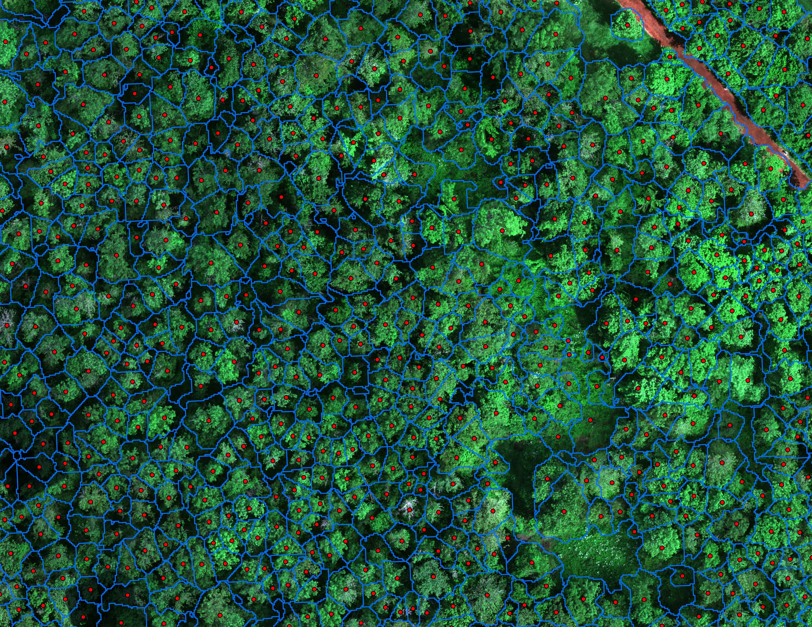
Finding every Oregon ash before the borer does
City of Eugene, Parks and Open Space
12,632 crowns classified across 390 acres of riparian canopy. 5,261 of them Oregon ash.
Read the case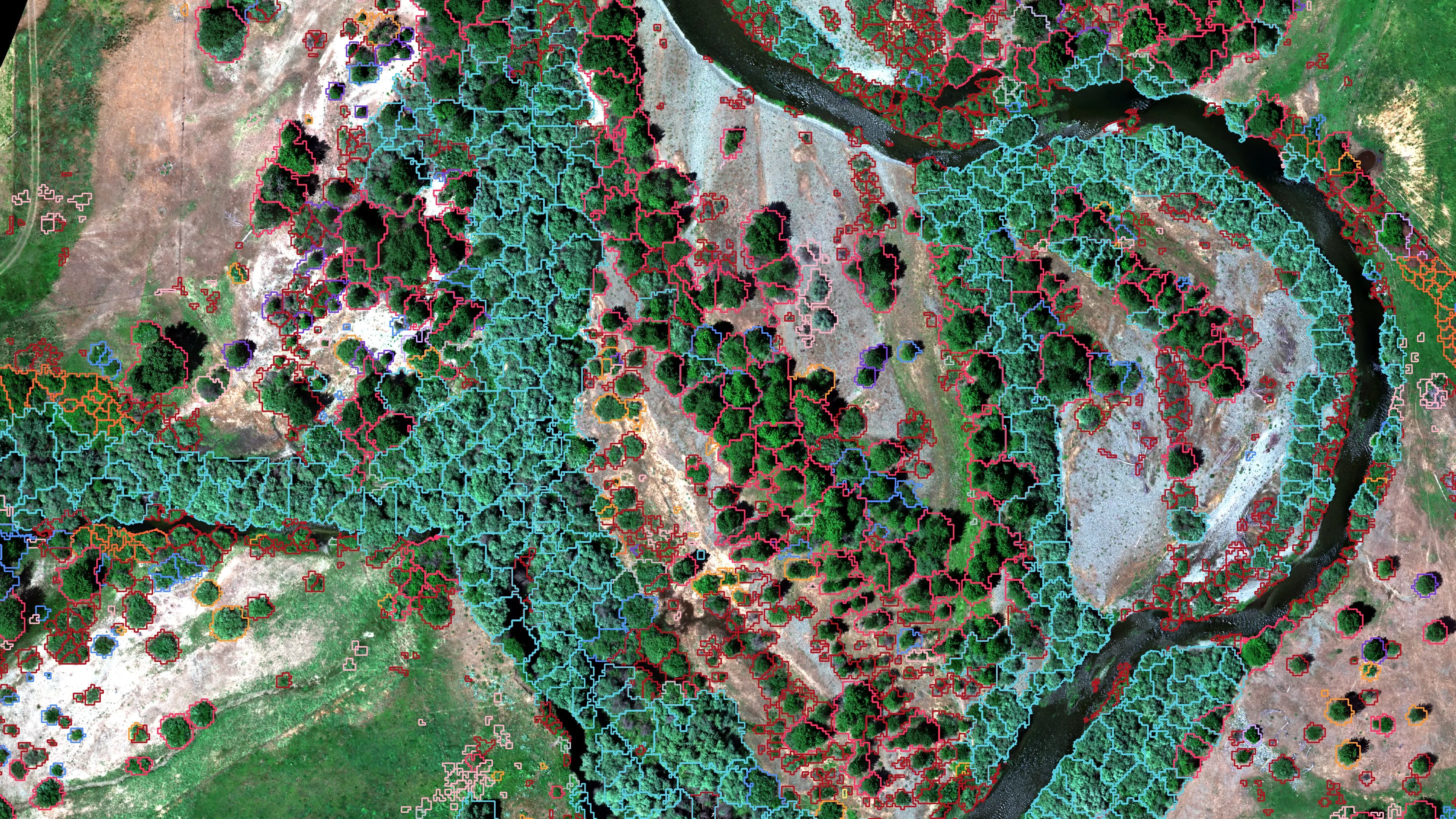
Riparian species and cold seeps on the Scott River
Cascade Stream Solutions, with a botanist leading field identification. We flew it as their subcontractor and reported to them.
Fourteen riparian species classified across 423 acres of river corridor, with thermal mapping that pointed to groundwater fed cold seeps.
Read the case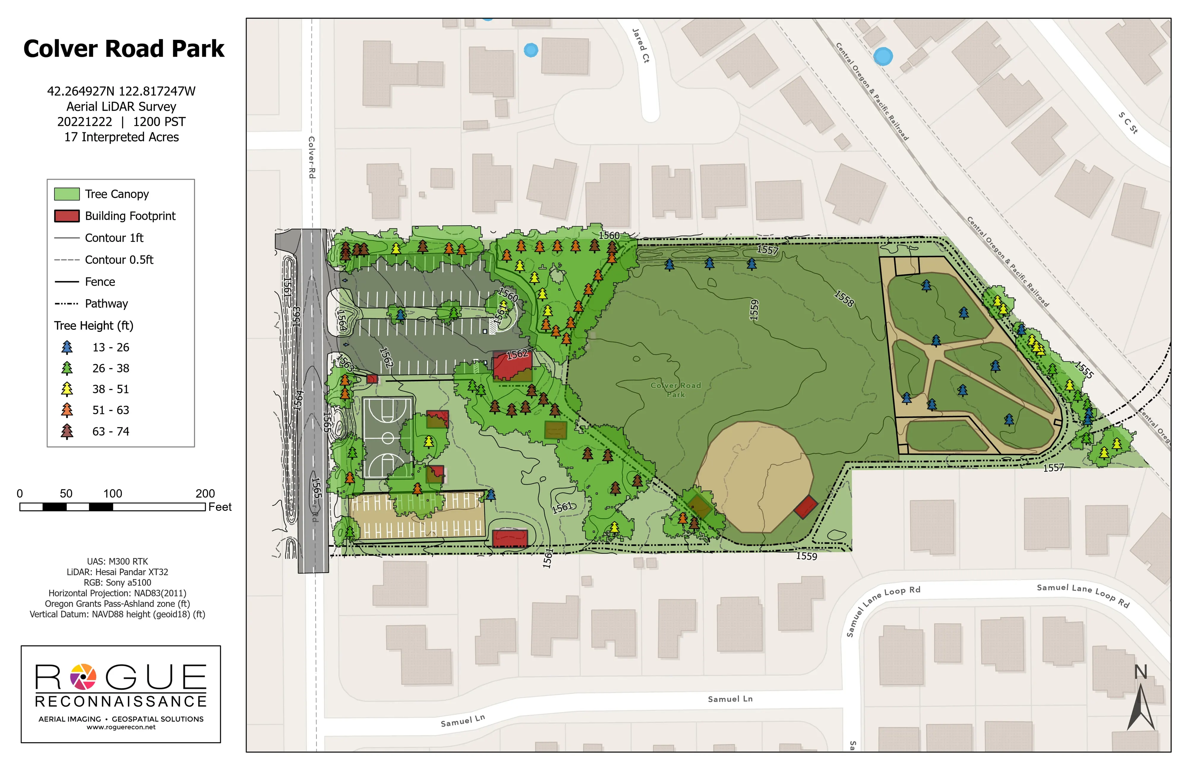
Colver Road Park, the LiDAR pilot
Rogue Reconnaissance pilot project
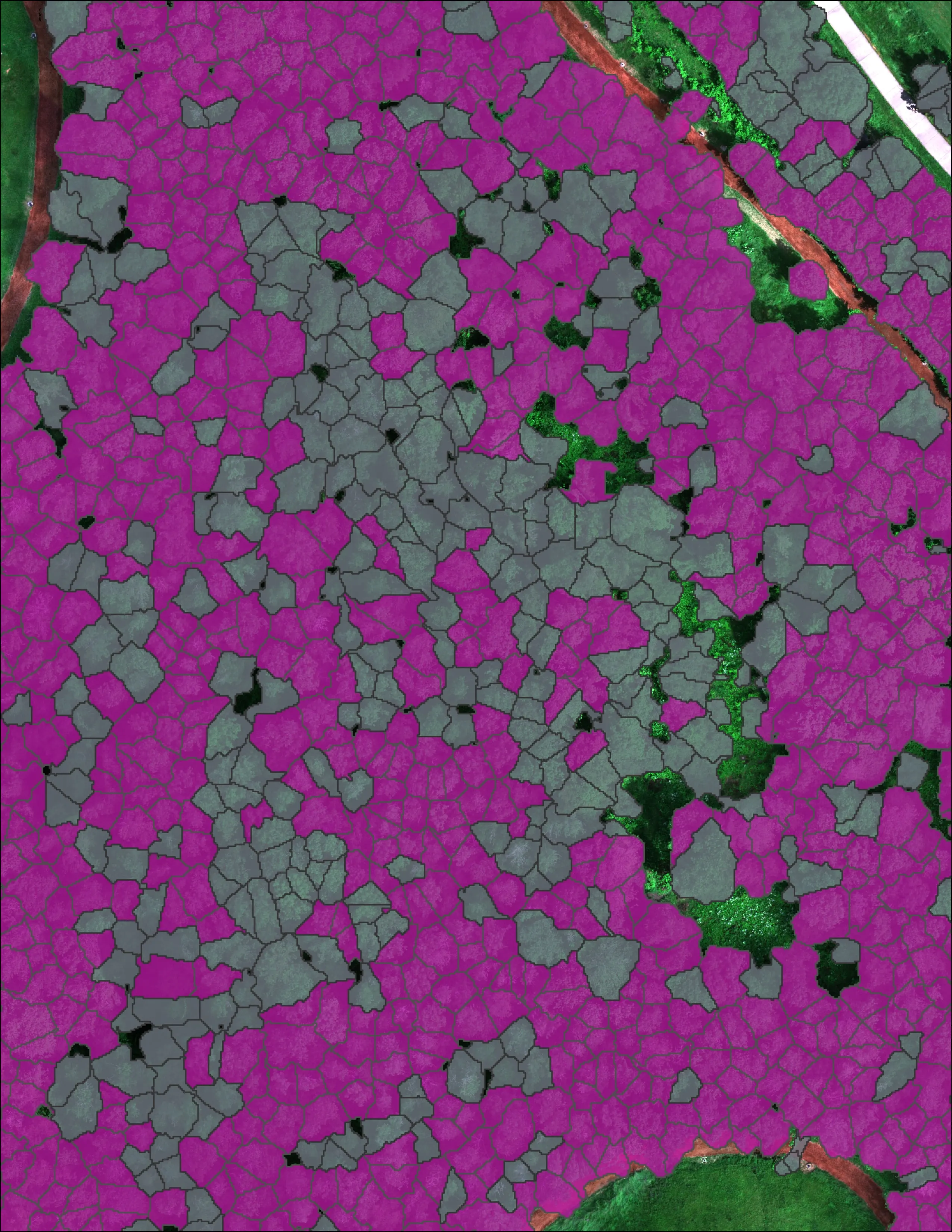
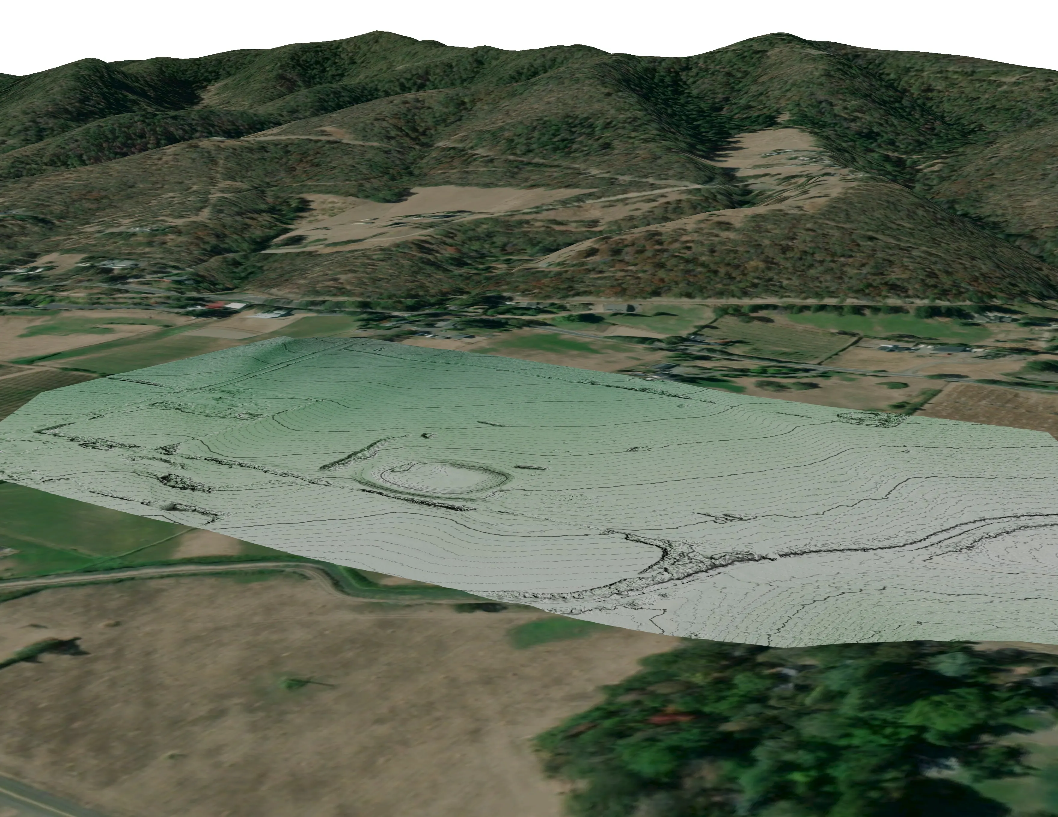
Our own pilot on a public park. Planimetrics, contours, tree canopy, and tree heights from drone LiDAR on one sheet, checked on the ground.
Read the caseThe record
Our published forestry, river, terrain and farm work
Forestry and trees
- Downed woody debris, measured from the air
- Finding every Oregon ash before the borer does
- At risk, declining, dieback, dead
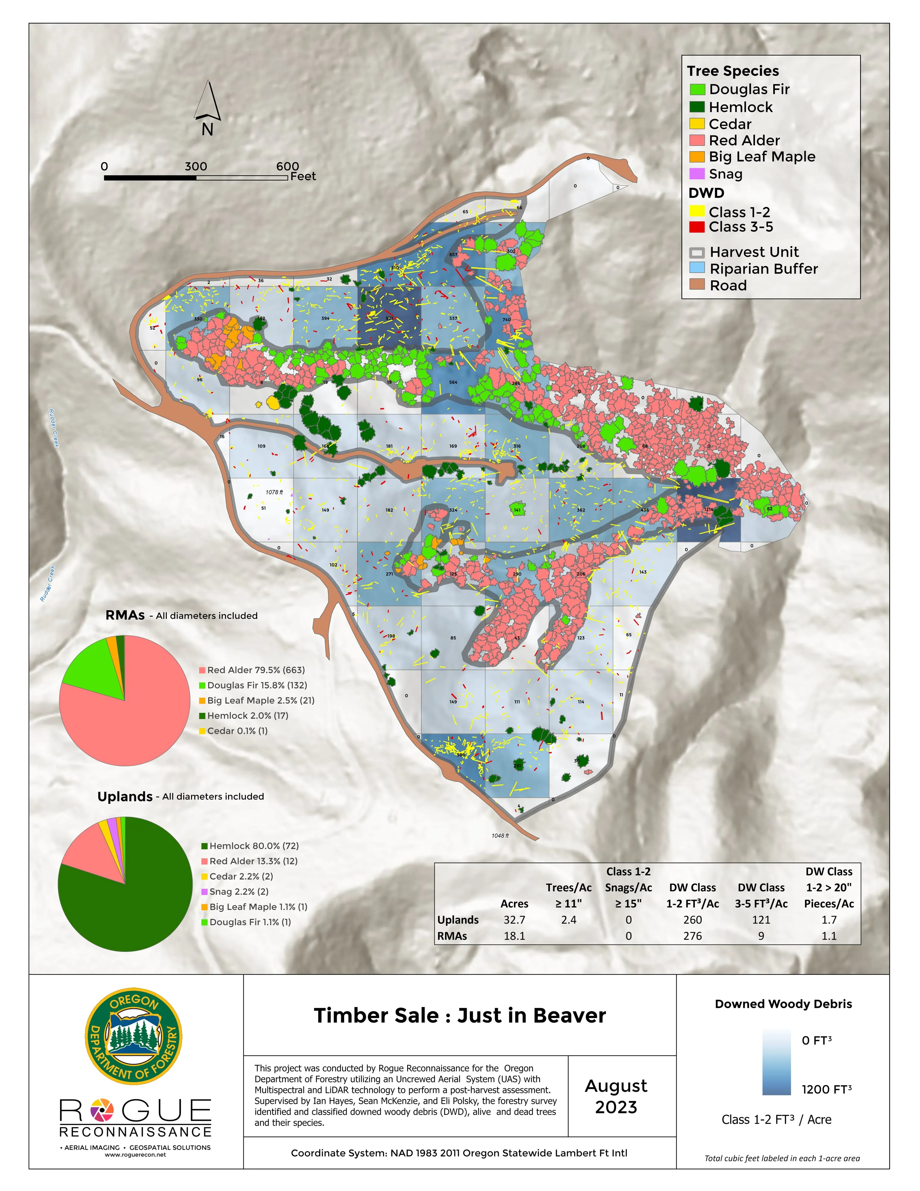
- Post harvest monitoring for ODF
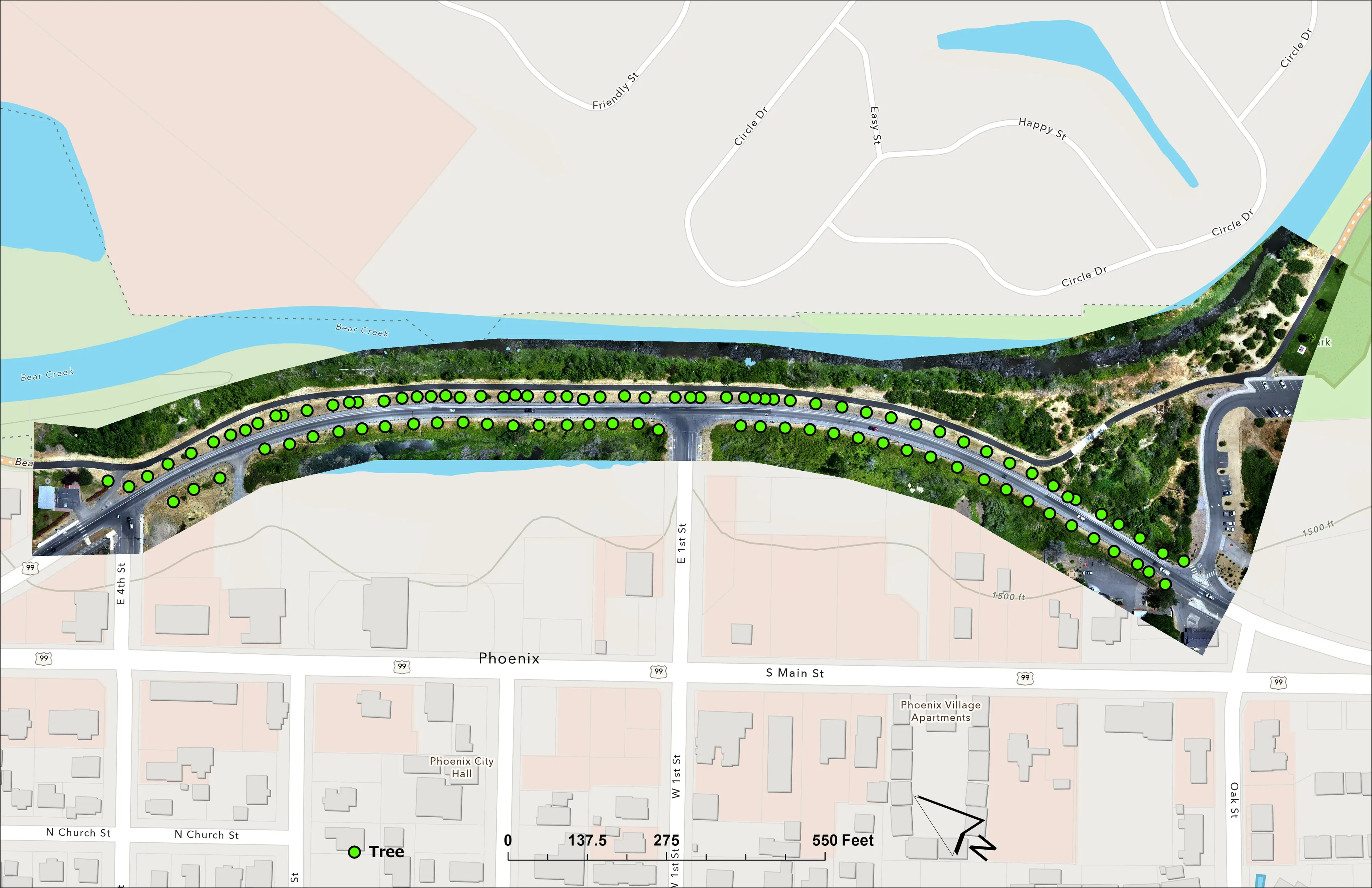
- A planting corridor through Phoenix, tree by tree
Rivers and habitat
- Riparian species and cold seeps on the Scott River
- Ten abandoned mines, bare earth under the chaparral
Terrain and site design
Farm planning
St. Louis, one dataset for a hundred towns.
A park, a municipality's street trees, a greenway or a bottomland reach. Tell us who is asking and we will build the eastern leg of the trip around it.
Email info@roguerecon.net or call 808 298 6290.