

Springfield, Missouri
The Ozarks: cooperative lines through the hardwoods and cattle on the hills.
Springfield is the city of the Ozarks, ringed by electric cooperatives whose lines run through oak and hickory hills, by cattle farms on the uplands and by the spring fed rivers the region is known for. Corridor LiDAR, timber and farm planning are the flights that fit.
The ground
Springfield and Greene County and Christian County
The city sits on the Springfield Plateau at the north edge of the Ozarks, with the James River and Wilson's Creek draining south toward Table Rock Lake and the White River. Around it the land is limestone hills in oak and hickory, with pasture cleared on the ridges and springs and caves underneath. Branson and the lakes lie to the south; the Mark Twain National Forest's blocks begin to the east and south.
Who buys mapping here
- City of Springfield: Public Works, the Parks Board, City Utilities and its line corridors, the GIS group
- Greene County and Christian County: Highway Departments, Emergency Management, Planning
- The electric cooperatives of the Ozarks: Southwest Electric, White River Valley Electric, Ozark Electric, Webster Electric and their neighbours
- The Missouri Department of Conservation's Southwest region and the Mark Twain National Forest's Ava and Cassville districts
- The James River Basin Partnership and the Watershed Committee of the Ozarks
- Missouri State University and its agricultural research campus; Drury and Evangel grounds
- Cattle, poultry and hay operations across the plateau; the timber owners and sawmills of the hills
- Branson, Nixa, Ozark, Republic and the growing towns of the two counties
Getting there
From Medford
Springfield is a flight to the regional airport or three hours south of Kansas City by road on the Missouri trip. The Ozark cooperatives can fill a week on their own.
The public lidar
What exists, and what it misses
Missouri's statewide lidar covers the plateau and the hills, flown for terrain, and the sinkholes and springs of karst country show in it well. A cooperative's clearance and danger tree questions, a timber owner's stand, or a farm's drainage and pond sites are finer than that data and change every season, which is where a drone flight of the corridor or the farm comes in.
What we would fly
The lanes that fit Springfield
Nearest work
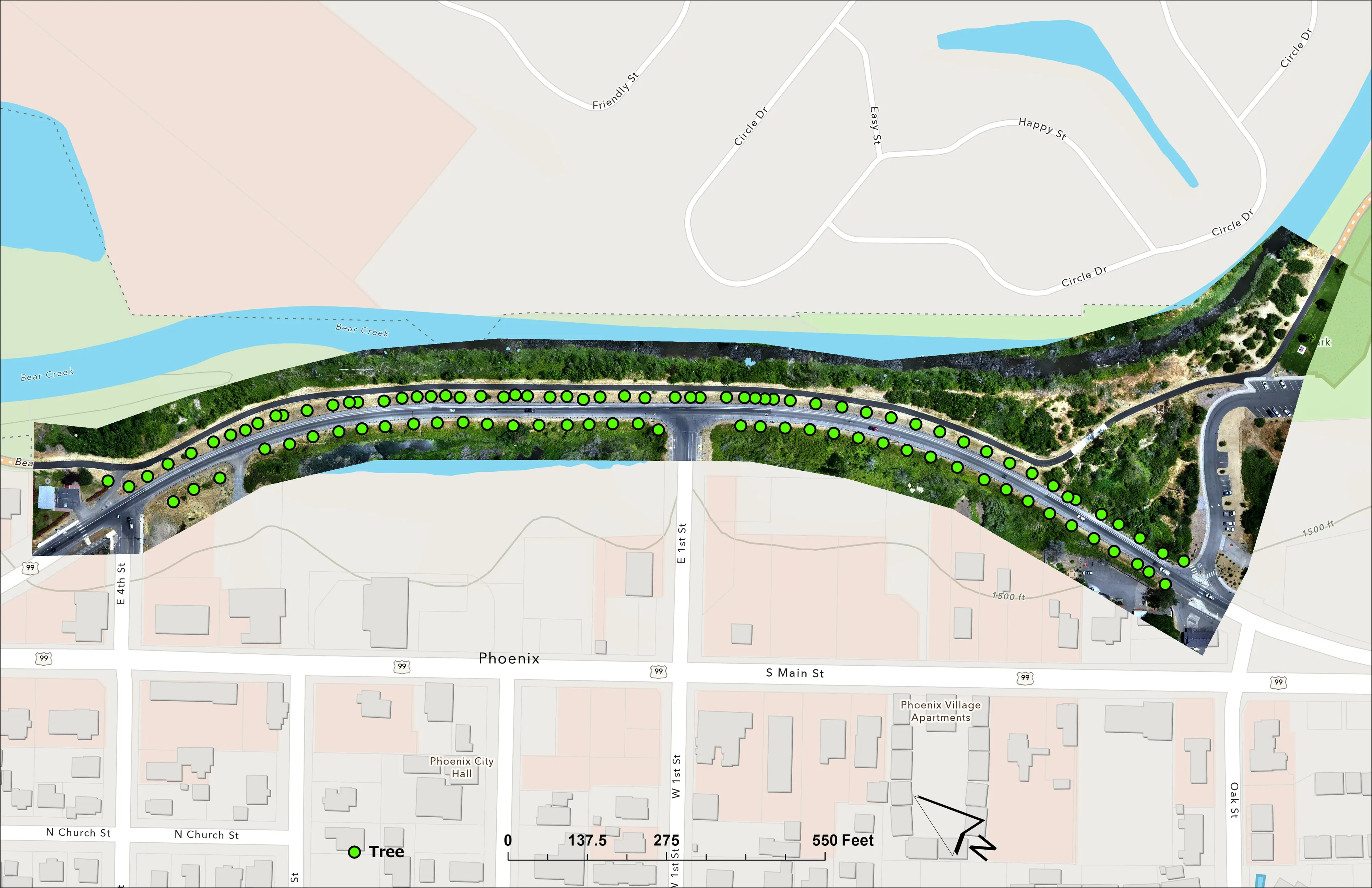
The Ozarks have not seen the aircraft yet. The record that applies: a corridor measured tree by tree, a hardwood and conifer unit assessed after harvest, and a farm planned on drone LiDAR terrain.
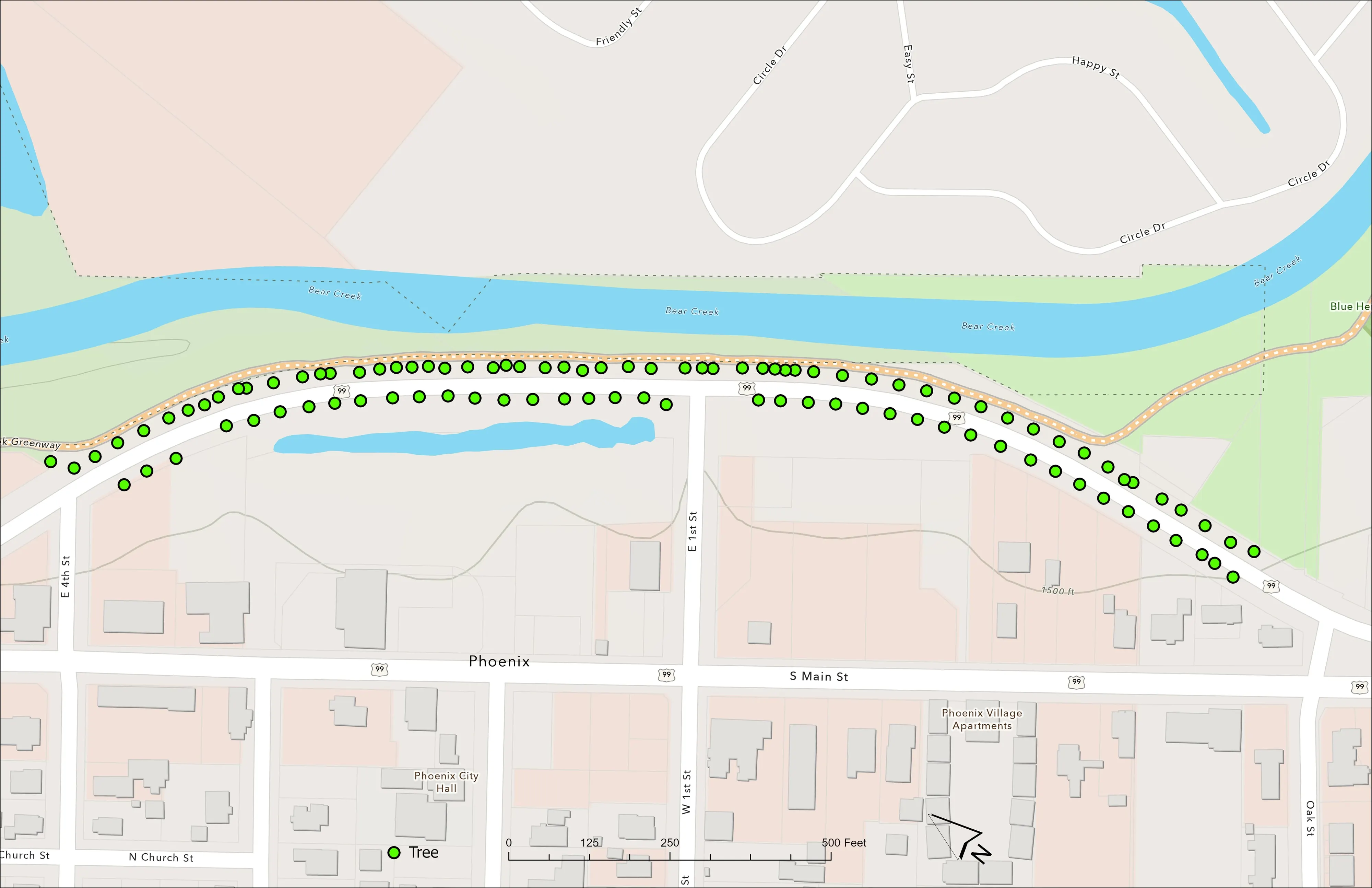
A planting corridor through Phoenix, tree by tree
City of Phoenix
The year one record for 98 trees the city planted where the Almeda fire burned through Phoenix, from drone LiDAR and RGB flown 65 days after planting.
Read the case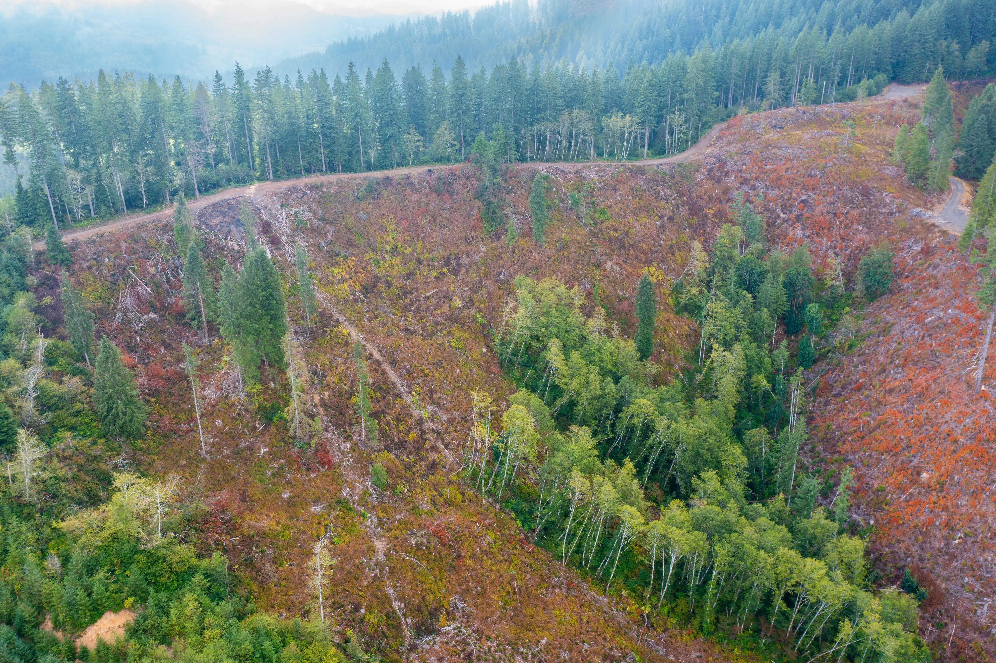
Post harvest monitoring for ODF
Oregon Department of Forestry
The 2023 ODF unit on video and in a StoryMap, with how the LiDAR, multispectral, and RGB products were built.
Read the case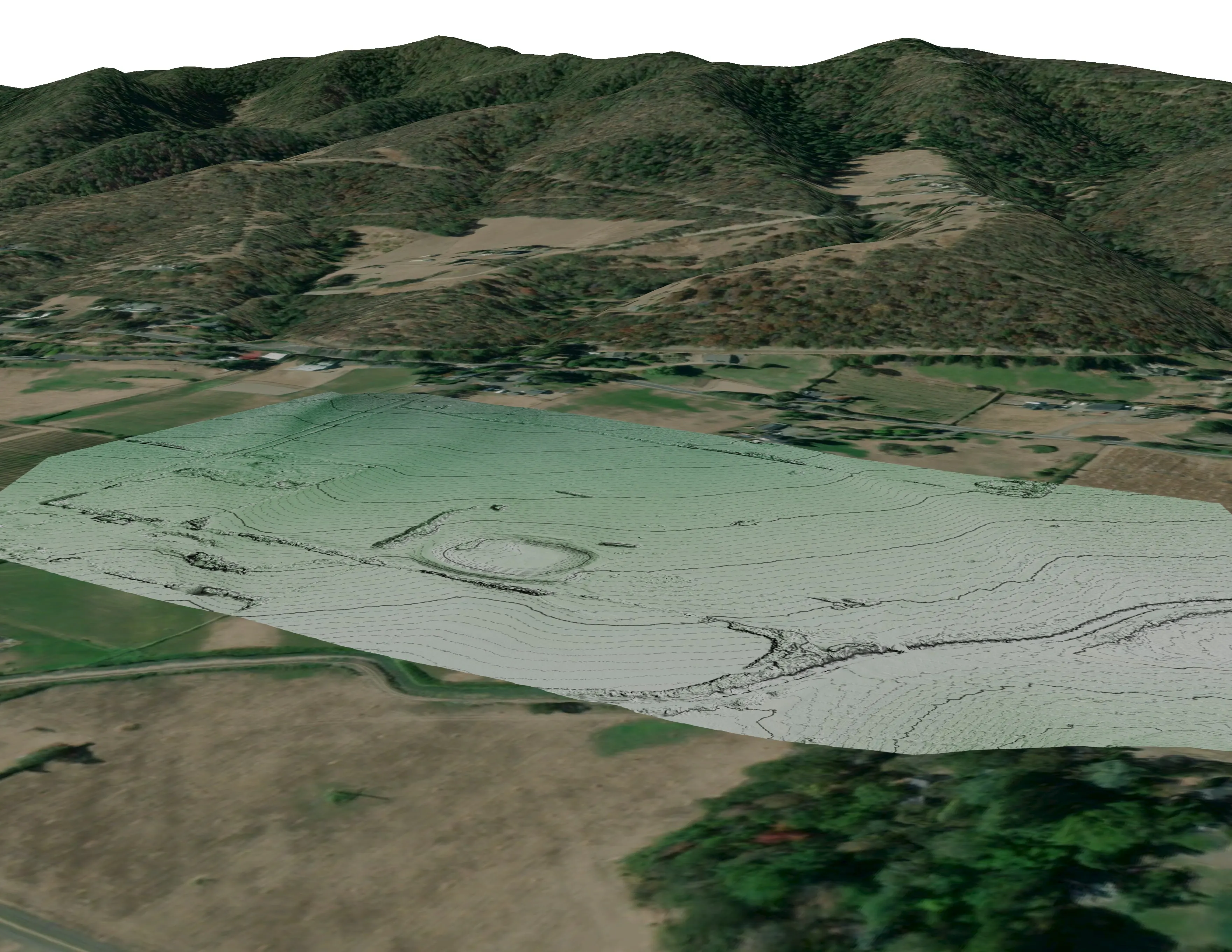
A farm plan on real ground
Plant Oregon with Oregon Urban Rural and Community Forestry, a tree nursery in development
Terrain, ponds, tree mounds, and a site plan drawn on a current ortho of the whole farm.
Read the caseThe record
Our published forestry, river, terrain and farm work
Forestry and trees
- Downed woody debris, measured from the air
- Finding every Oregon ash before the borer does
- At risk, declining, dieback, dead
- Post harvest monitoring for ODF
- A planting corridor through Phoenix, tree by tree
Rivers and habitat
- Riparian species and cold seeps on the Scott River
- Ten abandoned mines, bare earth under the chaparral
Terrain and site design
Farm planning
Springfield and the Ozark cooperatives.
A line corridor, a stand of oak, a farm with a pond to site, or a lot in town: name it and the Ozarks go on the trip.
Email info@roguerecon.net or call 808 298 6290.