
Drone Use In Wildland Fire
- Michael Mastrofini
- Mar 26, 2019
- 1 min read
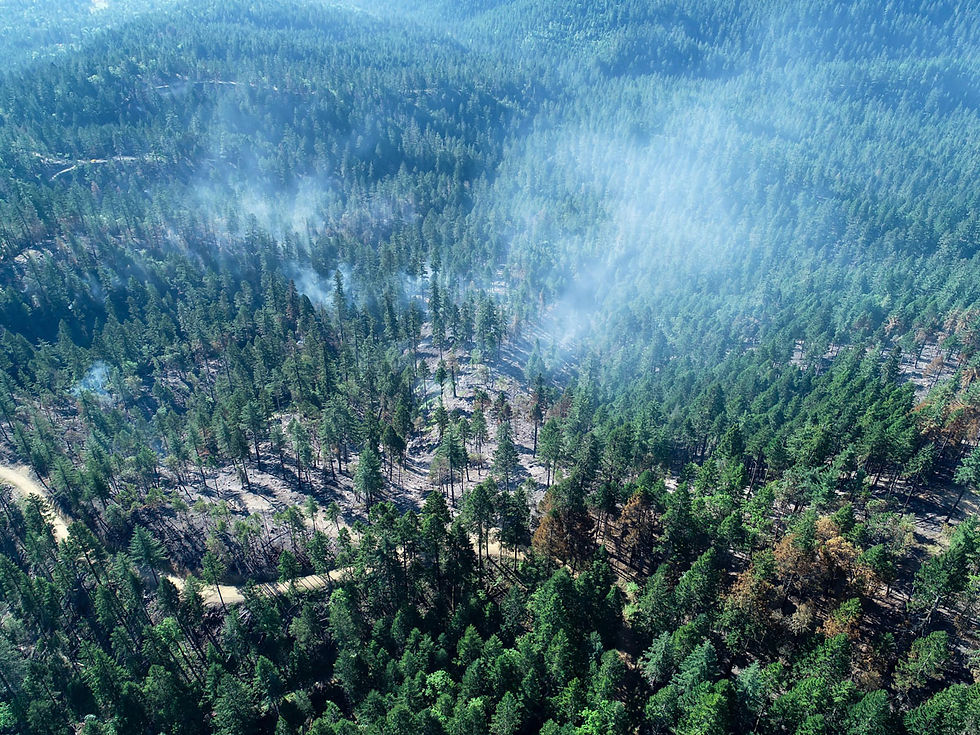
The 2018 fire season was busy to say the least in Souther Oregon. The Taylor Creek/ Klondike fires presented a difficult task for containment with the overwhelming amount of new starts early in the morning. This presented a difficult task as resources quickly got overwhelmed with initial attack. These starts quickly spread near the Kalmiopsis wilderness area that is prone to at least one large fire a year. Difficult to access terrain, and a large area that needed IR support, along with firing operations; saw one of the biggest uses of UAS technology to date on the fire line. Below is the wildland lessons learned (Rapid Lesson Share),
https://www.wildfirelessons.net/HigherLogic/System/DownloadDocumentFile.ashx?DocumentFileKey=591b142a-2f92-671c-0f5f-ec1e87523c9f&forceDialog=0

Comments